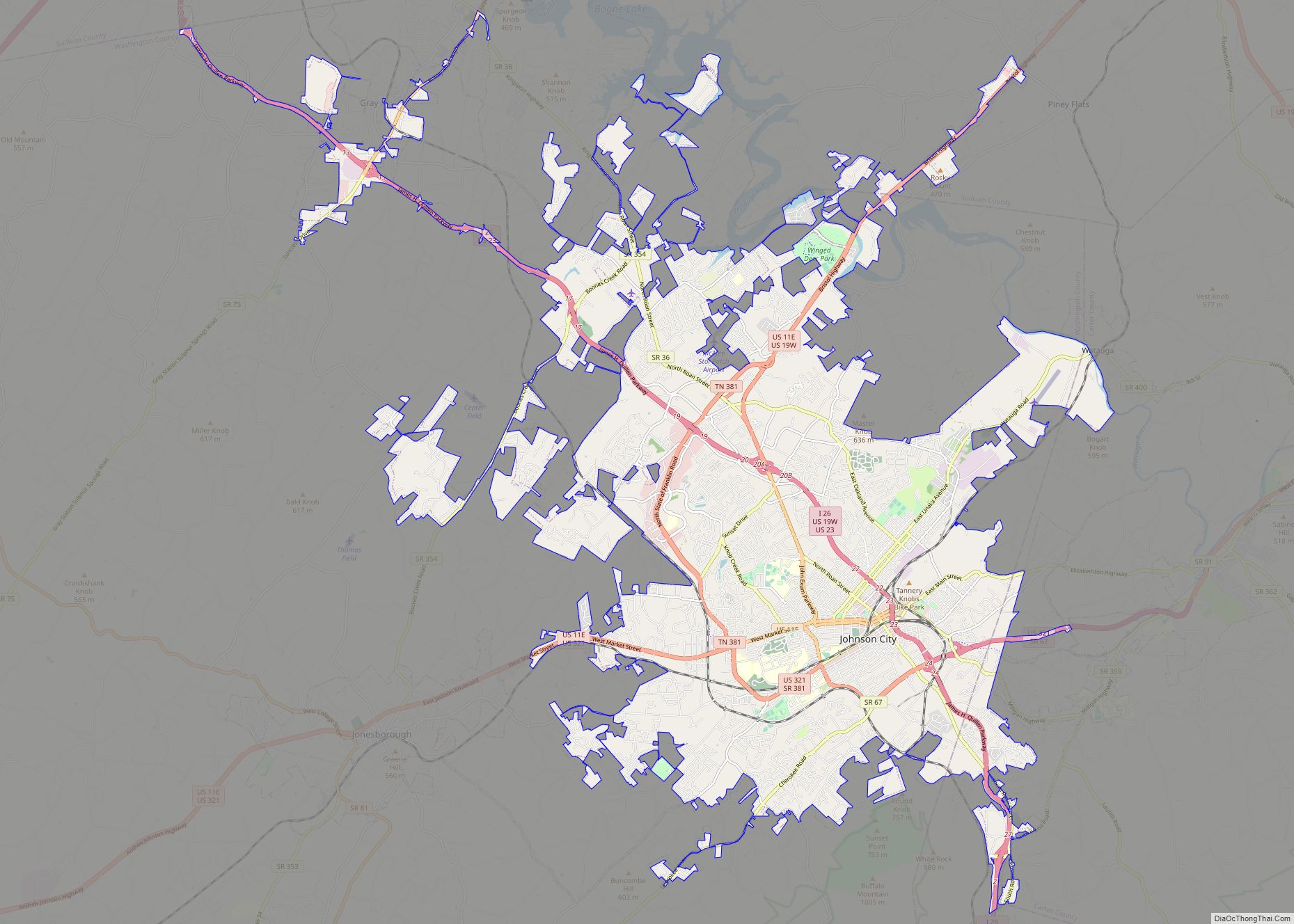
Carter County is a county located in the U.S. state of Tennessee. As of the 2020 census, the population was 56,356. Its county seat is Elizabethton. The county is named in honor of Landon Carter (1760-1800), an early settler active in the “Lost State of Franklin” 1784-1788 secession from the State of North Carolina. Carter County is part of the Johnson City, TN Metropolitan Statistical Area, which is a component of the Johnson City–Kingsport–Bristol, TN-VA Combined Statistical Area, located in northeastern Tennessee.
| Name: | Carter County |
|---|---|
| FIPS code: | 47-019 |
| State: | Tennessee |
| Founded: | 1796 |
| Named for: | Landon Carter |
| Seat: | Elizabethton |
| Largest city: | Elizabethton |
| Total Area: | 348 sq mi (900 km²) |
| Land Area: | 341 sq mi (880 km²) |
| Total Population: | 56,356 |
| Population Density: | 168/sq mi (65/km²) |
| Time zone: | UTC−5 (Eastern) |
| Summer Time Zone (DST): | UTC−4 (EDT) |
| Website: | www.cartercountytn.gov |
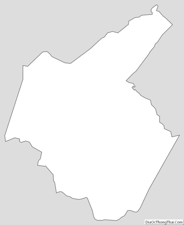
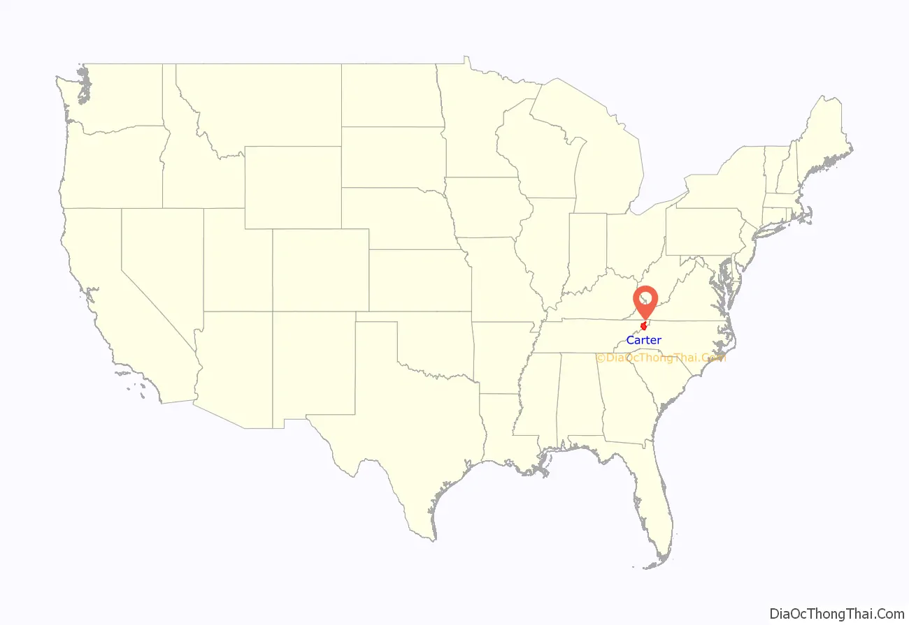
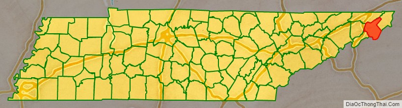
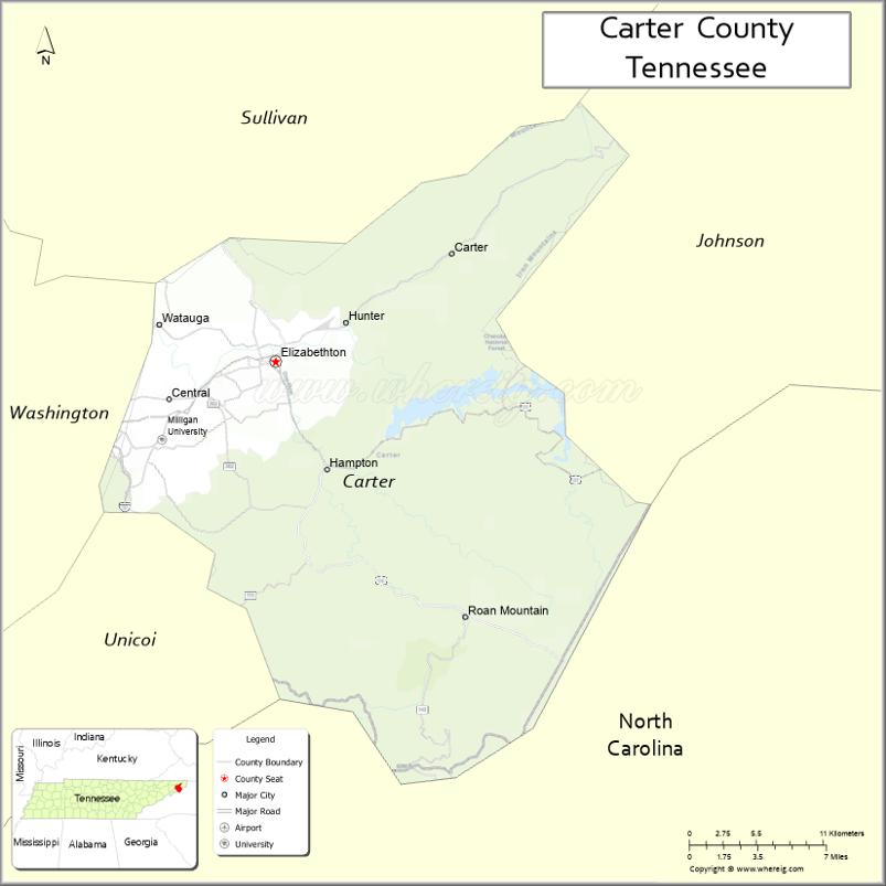
Carter County location map. Where is Carter County?
History
The area was originally claimed by Britain as part of the Clarendon settlements of the Province of Carolina, although actually populated at the time by the Cherokee.
The area was part of (though seldom actually administered by) the following jurisdictions in its early history:
- New Hanover Precinct (1729-1734)
- Bladen County (1734-1749)
- Anson County (1749-1753)
- Rowan County (1753-1775)
Watauga Association
The county is named for General Landon Carter, the son of John Carter of Virginia, who was “chairman of the court” of the first majority-rule system of American democracy, known as the Watauga Association of 1772. The association was the first permanent settlement established outside the original thirteen American colonies and included the area that is today’s Carter County. In 1775, the Association was absorbed into North Carolina by petition, becoming known thereafter as the Washington District.
As Wayne County in the State of Franklin
J. G. M. Ramsey records within his 1853 Annals of Tennessee that the State of Franklin established Wayne County from sections of both Washington County and a part of Wilkes County “lying west of the extreme heights of the Apalachian or Alleghany Mountains, into a separate and distinct county by the name of Wayne… This new county covered the same territory now embraced in the limits of Carter and Johnson counties.”
The county seat, Elizabethton, is named for Carter’s wife, Elizabeth MacLin Carter.
Civil War
Like most East Tennessee counties, Carter Countians opposed secession on the eve of the Civil War. In Tennessee’s Ordinance of Secession referendum on June 8, 1861, Carter Countians rejected secession by a vote of 1,343 to 86. A railroad bridge at Carter’s Depot (modern Watauga) was among those targeted by the East Tennessee bridge-burning conspiracy in November 1861.
Early railroad
Carter County was served by the narrow gauge East Tennessee and Western North Carolina Railroad (The ET&WNC, nicknamed “Tweetsie”) until the line ceased operations in 1950.
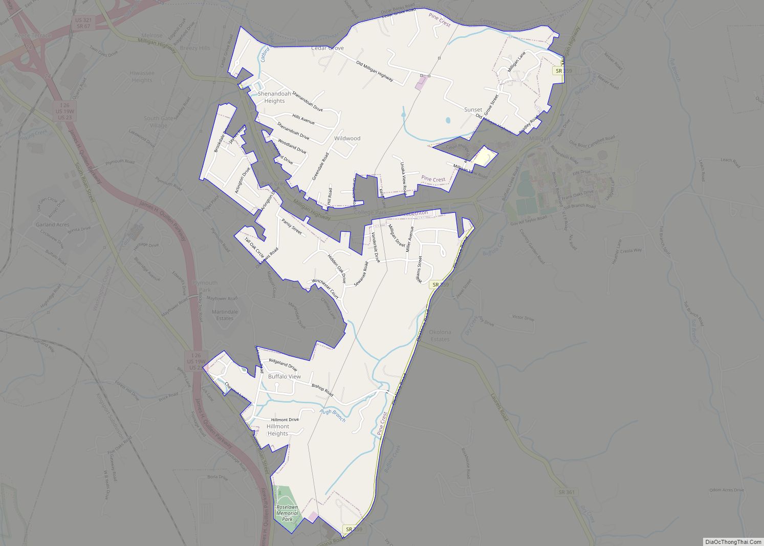
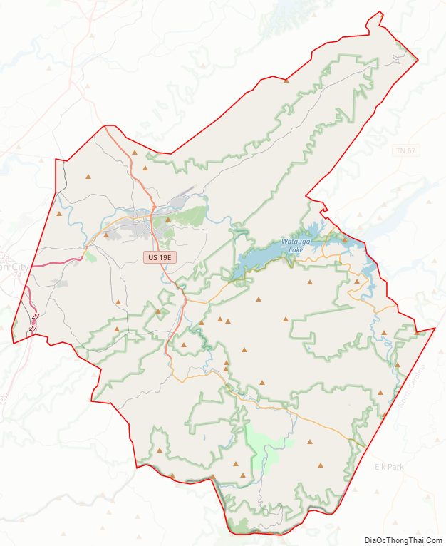
Carter County Road Map
Geography
According to the U.S. Census Bureau, the county has a total area of 348 square miles (900 km), of which 341 square miles (880 km) is land and 6.4 square miles (17 km) (1.8%) is water.
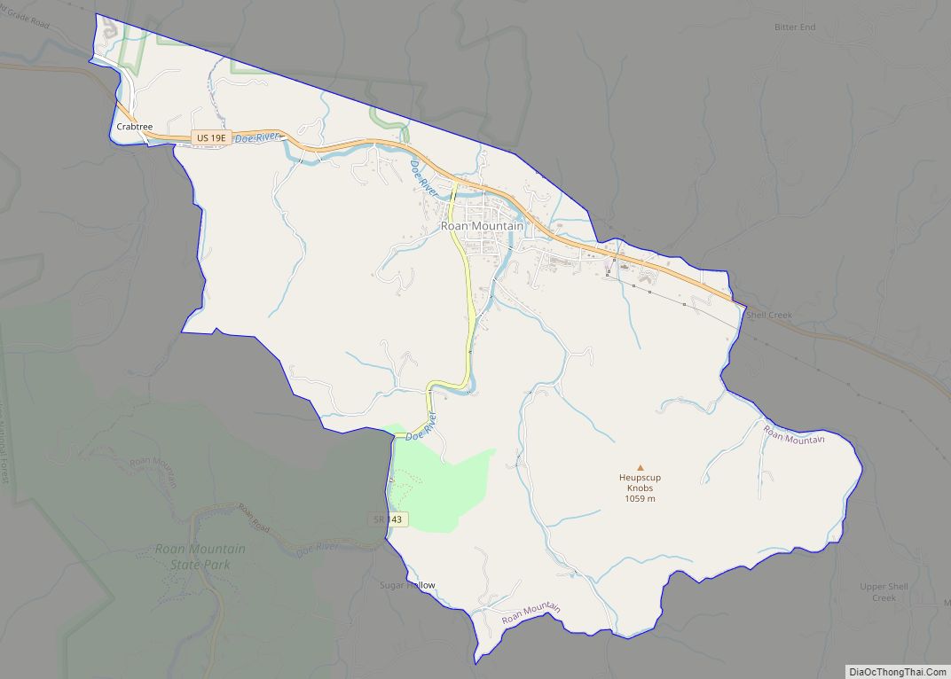
Carter County is situated entirely within the Blue Ridge Mountains, specifically the Unaka Range and the Iron Mountains. Roan Mountain, which at 6,285 feet (1,916 m) is the highest point in Tennessee outside the Great Smoky Mountains, straddles the county’s eastern border with North Carolina. The county’s boundary with Sullivan County is defined as the ridgeline of Holston Mountain.
Lakes
- Watauga Lake
- Wilbur Reservoir (immediately below the TVA Watauga Dam Lat: 36.3408 Lon: -82.1203]
- Ripshin Lake (6 km southwest of Roan Mountain Lat: 36.1838646 Lon: -82.1356583)
Rivers
- Watauga River
- Doe River
Waterfalls
- CTF015 Big Laurel Br. Falls 50′
lake - CTF001 Blue Hole Falls (4) 45′
Cherokee National Forest - CTF018 Hardcore Cascades 12′
Cherokee National Forest - CTF002 Coon Den Falls 50′
Cherokee National Forest - CTF003 Dennis Cove Falls 25′
wilderness - CTF005 Firescald Branch Falls
wilderness - CTF016 Five Eights
lake - CTF006 Jones Falls 100′
Cherokee National Forest - CTF007 Laurel Falls 55′
wilderness - CTF010 Laurel Falls (m) 25′
wilderness - CTF011 Laurel Falls (u) 25′
wilderness - CTF014 Mountaineer Falls 20′
Cherokee National Forest - CTF012 North Fork Stony Creek Falls 30′
Cherokee National Forest - CTF008 Sally Cove Creek Falls 25′
- CTF009 Twisting Falls 30′
Cherokee National Forest - CTF013 Splash Dam Falls 25′
Cherokee National Forest - CTF017 Hays Branch Falls 18′
Cherokee National Forest
Adjacent counties
- Sullivan County (north)
- Johnson County (northeast)
- Avery County, North Carolina (southeast)
- Mitchell County, North Carolina (south)
- Unicoi County (southwest)
- Washington County (west)
National protected areas
- Appalachian Trail (part)
- Cherokee National Forest (part)
State protected areas
- Hampton Creek Cove State Natural Area
- Roan Mountain State Park
- Sabine Hill State Historic Site
- Sycamore Shoals State Historic Area
- Watauga River Bluffs State Natural Area
Major highways
- US 19E
- US 321
- SR 37
- SR 67
- SR 91
- SR 143
- SR 159
- SR 173
- SR 359
- SR 361
- SR 362
- SR 400
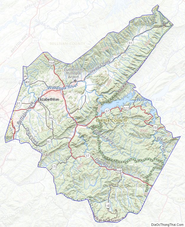
Carter County Topographic Map
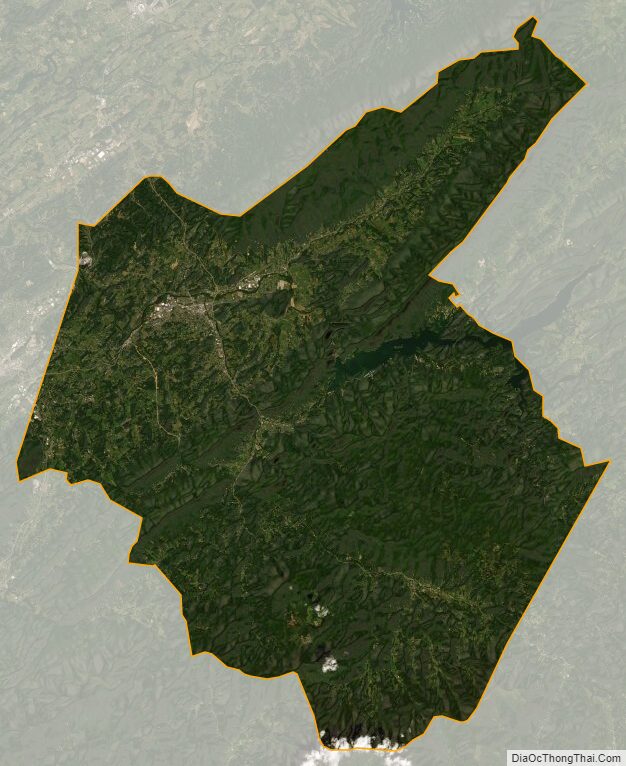
Carter County Satellite Map
Carter County Outline Map