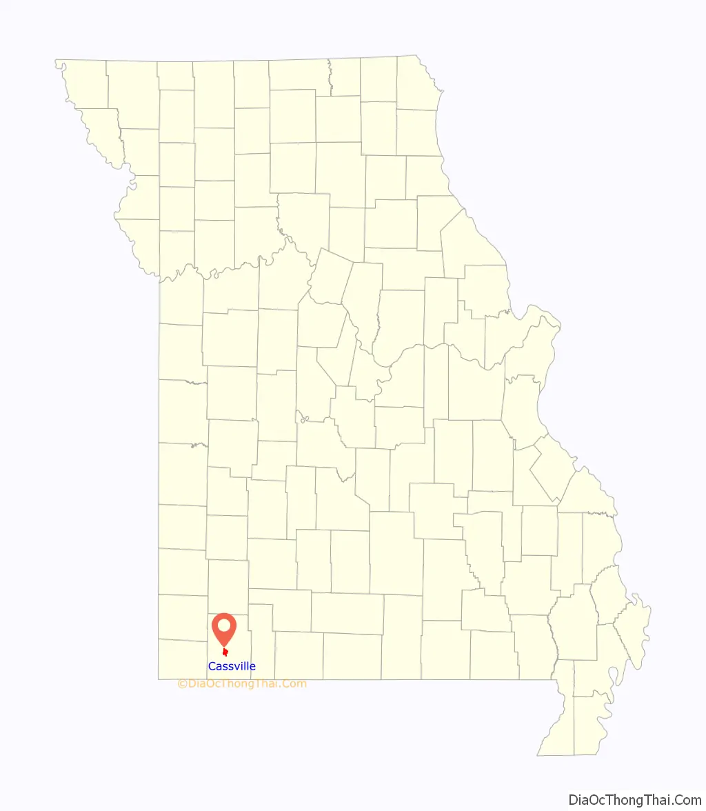
Cassville is a city in Flat Creek Township, Barry County, Missouri, United States. According to the 2020 census, the population of Cassville was 3,190. Cassville is one of the primary markets and job centers for an estimated 14,000 people living in the surrounding area. It is the county seat of Barry County.
| Name: | Cassville city |
|---|---|
| LSAD Code: | 25 |
| LSAD Description: | city (suffix) |
| State: | Missouri |
| County: | Barry County |
| Elevation: | 1,319 ft (402 m) |
| Total Area: | 3.42 sq mi (8.87 km²) |
| Land Area: | 3.42 sq mi (8.86 km²) |
| Water Area: | 0.00 sq mi (0.00 km²) |
| Total Population: | 3,190 |
| Population Density: | 931.93/sq mi (359.86/km²) |
| ZIP code: | 65623, 65625 |
| Area code: | 417 |
| FIPS code: | 2911890 |
| GNISfeature ID: | 2393769 |
| Website: | cityofcassville.com |
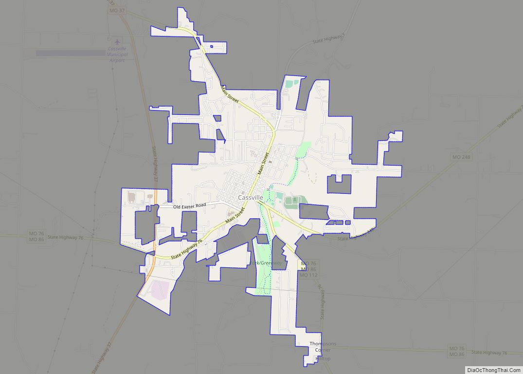
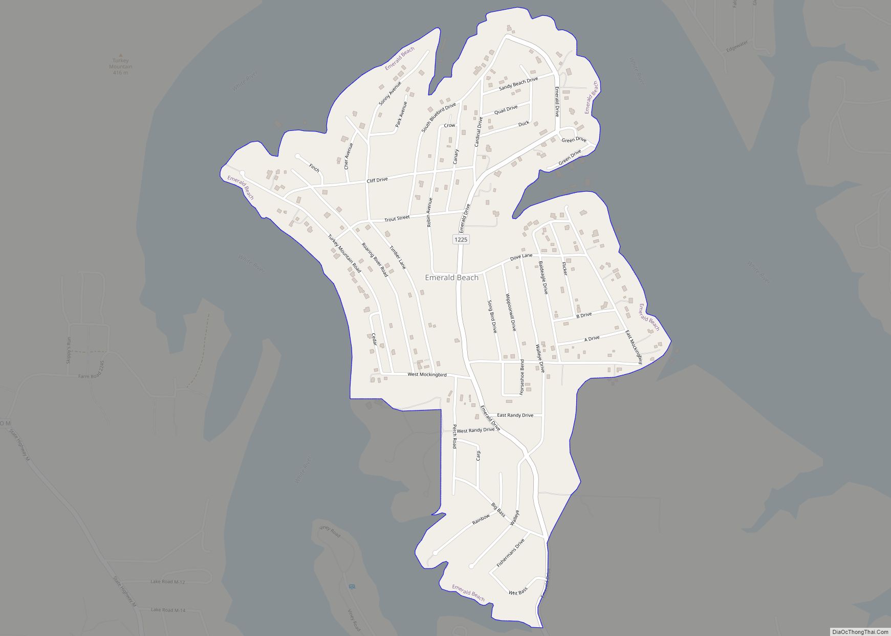
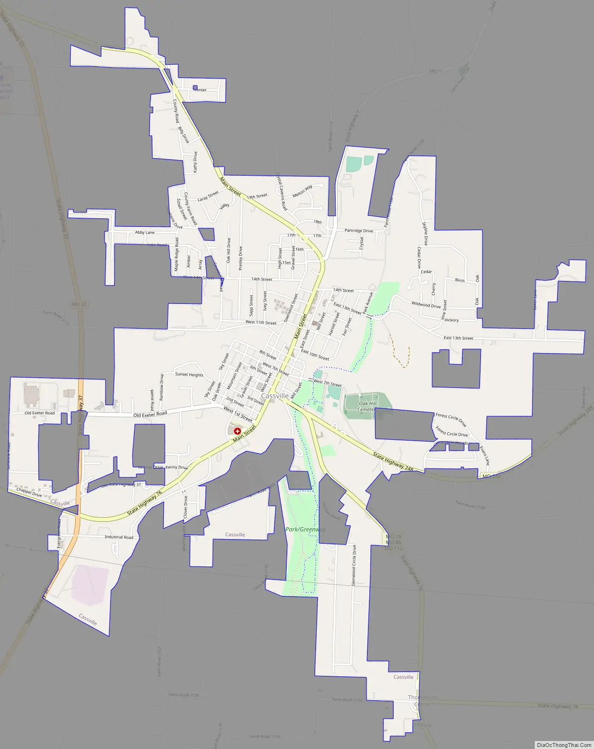
Online Interactive Map
Click on ![]() to view map in "full screen" mode.
to view map in "full screen" mode.
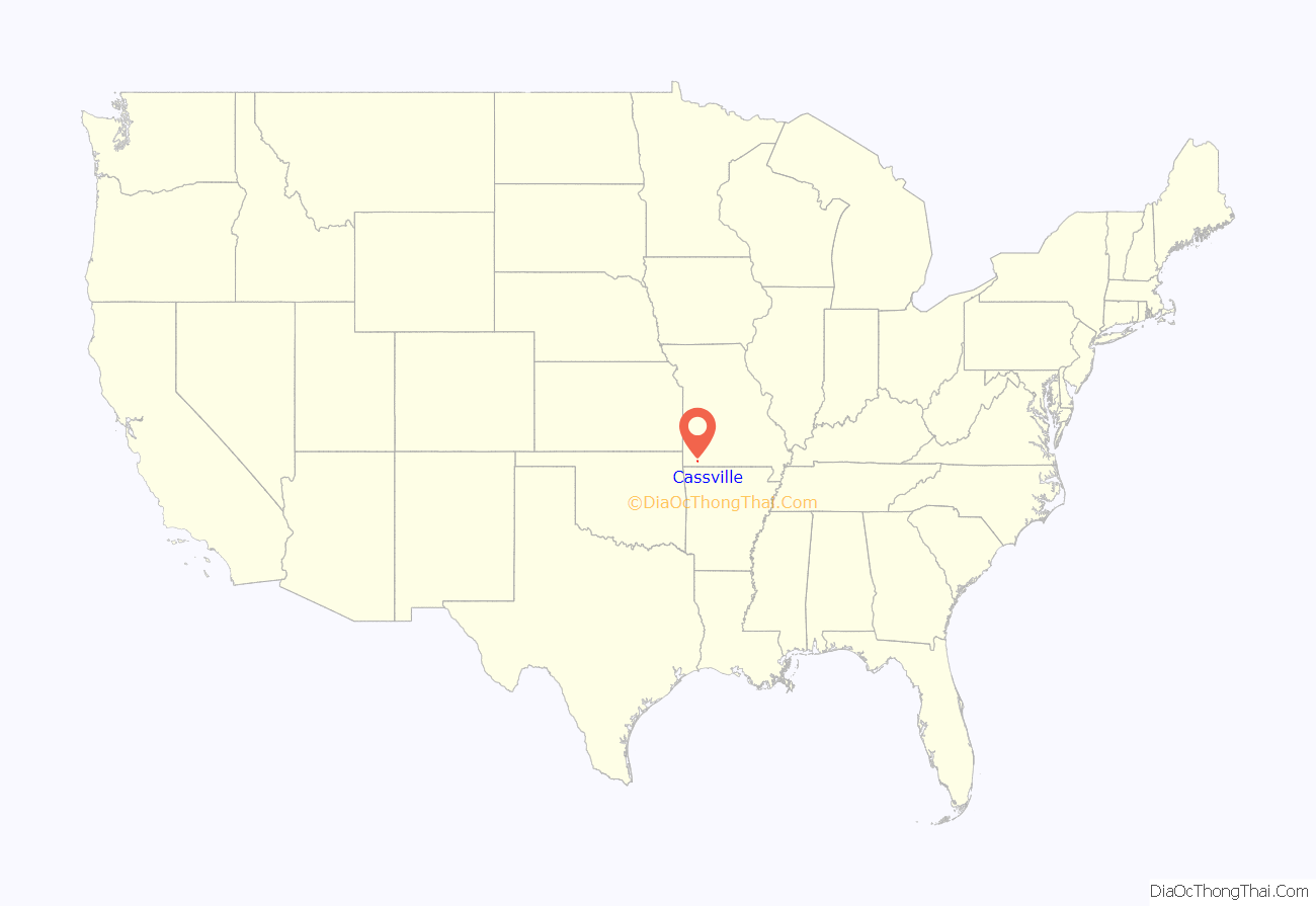
Cassville location map. Where is Cassville city?
History
The land which would be called Cassville was platted in 1845. A post office was set up the same year. The community was named after Lewis Cass, a former United States Senator and Secretary of War. Cassville was incorporated on March 3, 1847.
A group of Cherokee were forced along the northern route of the Trail of Tears. During this forced march, they stopped in Cassville, Missouri. During their stay, multiple Cherokee women were the victims of mass rape by citizens of Cassville.
Cassville served as the Confederate capital of Missouri for one week from October 31 to November 7, 1861. This ended abruptly when the duly elected governor of the State, Claiborne F. Jackson, and his political and military allies were pushed further south by the invading Union army. The Battle of Pea Ridge later secured Missouri for the Union.
The city was connected by rail via the Cassville & Exeter Railroad from July 4, 1896 to September 11, 1956.
The Cassville Ranger Station Historic District, Natural Bridge Archaeological Site, and six sites in Roaring River State Park are listed on the National Register of Historic Places.
Cassville Road Map
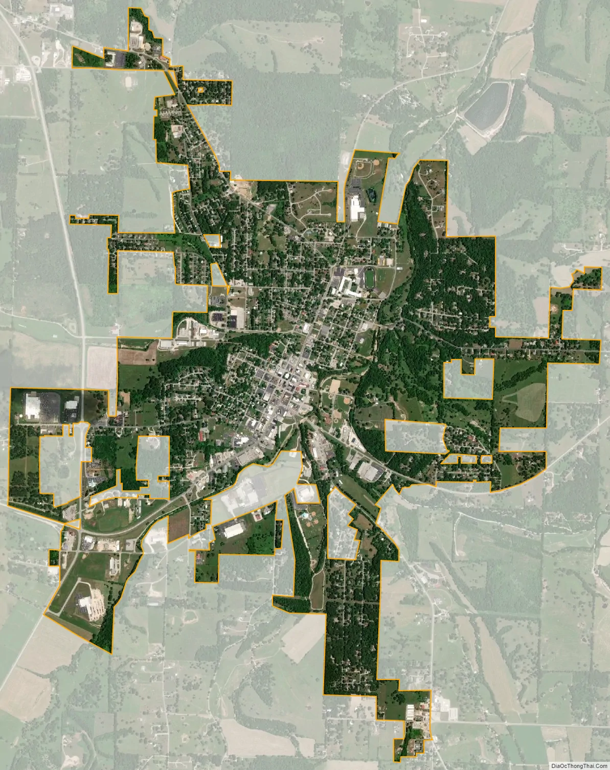
Cassville city Satellite Map
Geography
According to the United States Census Bureau, the city has a total area of 3.22 square miles (8.34 km), all land. Located in the Ozarks, Cassville and its surrounding area have a densely forested hilly terrain. The city, itself, sits on Flat Creek. Located south of Cassville, Roaring River State Park is a popular recreation spot for hiking, fishing, and camping.
Climate
Climate in this area is characterized by relatively high temperatures and evenly distributed precipitation throughout the year. The Köppen Climate Classification subtype for this climate is “Cfa” (Humid Subtropical Climate).
See also
Map of Missouri State and its subdivision:- Adair
- Andrew
- Atchison
- Audrain
- Barry
- Barton
- Bates
- Benton
- Bollinger
- Boone
- Buchanan
- Butler
- Caldwell
- Callaway
- Camden
- Cape Girardeau
- Carroll
- Carter
- Cass
- Cedar
- Chariton
- Christian
- Clark
- Clay
- Clinton
- Cole
- Cooper
- Crawford
- Dade
- Dallas
- Daviess
- De Kalb
- Dent
- Douglas
- Dunklin
- Franklin
- Gasconade
- Gentry
- Greene
- Grundy
- Harrison
- Henry
- Hickory
- Holt
- Howard
- Howell
- Iron
- Jackson
- Jasper
- Jefferson
- Johnson
- Knox
- Laclede
- Lafayette
- Lawrence
- Lewis
- Lincoln
- Linn
- Livingston
- Macon
- Madison
- Maries
- Marion
- McDonald
- Mercer
- Miller
- Mississippi
- Moniteau
- Monroe
- Montgomery
- Morgan
- New Madrid
- Newton
- Nodaway
- Oregon
- Osage
- Ozark
- Pemiscot
- Perry
- Pettis
- Phelps
- Pike
- Platte
- Polk
- Pulaski
- Putnam
- Ralls
- Randolph
- Ray
- Reynolds
- Ripley
- Saint Charles
- Saint Clair
- Saint Francois
- Saint Louis
- Sainte Genevieve
- Saline
- Schuyler
- Scotland
- Scott
- Shannon
- Shelby
- Stoddard
- Stone
- Sullivan
- Taney
- Texas
- Vernon
- Warren
- Washington
- Wayne
- Webster
- Worth
- Wright
- Alabama
- Alaska
- Arizona
- Arkansas
- California
- Colorado
- Connecticut
- Delaware
- District of Columbia
- Florida
- Georgia
- Hawaii
- Idaho
- Illinois
- Indiana
- Iowa
- Kansas
- Kentucky
- Louisiana
- Maine
- Maryland
- Massachusetts
- Michigan
- Minnesota
- Mississippi
- Missouri
- Montana
- Nebraska
- Nevada
- New Hampshire
- New Jersey
- New Mexico
- New York
- North Carolina
- North Dakota
- Ohio
- Oklahoma
- Oregon
- Pennsylvania
- Rhode Island
- South Carolina
- South Dakota
- Tennessee
- Texas
- Utah
- Vermont
- Virginia
- Washington
- West Virginia
- Wisconsin
- Wyoming