Bon Homme County (/ˈbɑːn əm/ BAHN əm; French: Comté de bon homme) is a county in the U.S. state of South Dakota. As of the 2020 census, the population was 7,003. Its county seat is Tyndall.
| Name: | Bon Homme County |
|---|---|
| FIPS code: | 46-009 |
| State: | South Dakota |
| Founded: | April 5, 1862 |
| Named for: | Bon Homme Island |
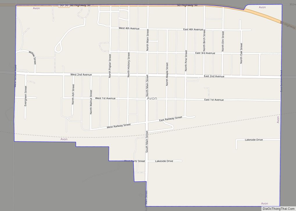
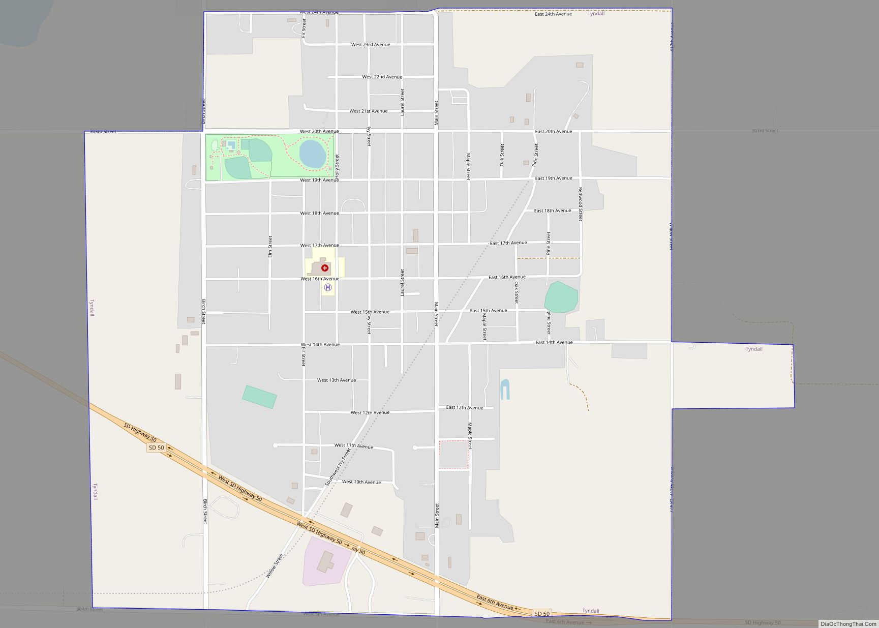
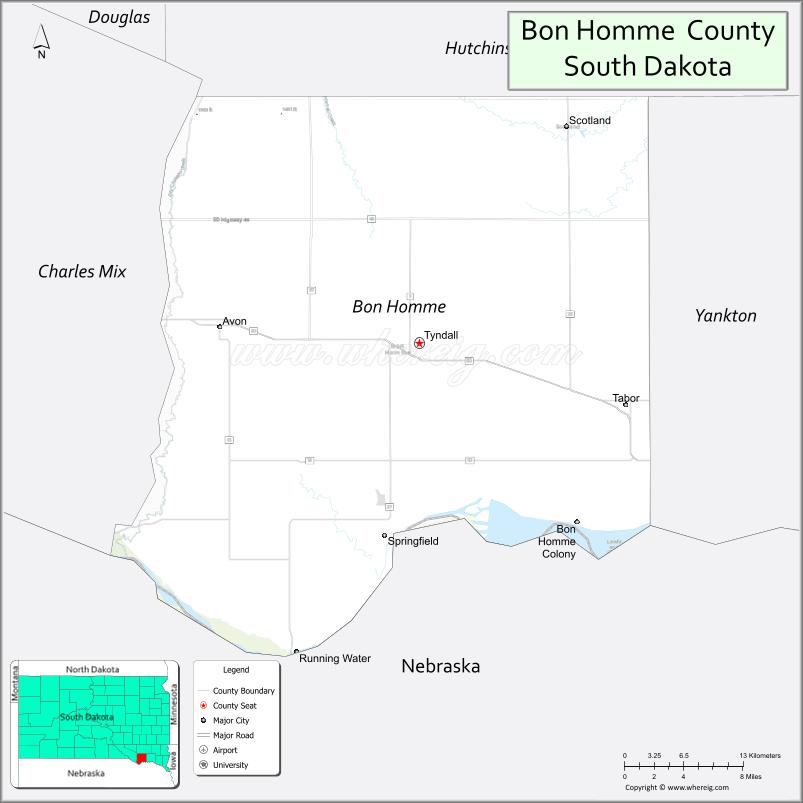
| Seat: | Tyndall |
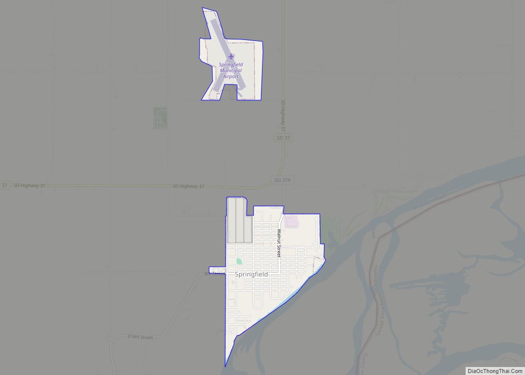
| Largest city: | Springfield |
| Total Area: | 582 sq mi (1,510 km²) |
| Land Area: | 564 sq mi (1,460 km²) |
| Total Population: | 7,003 |
| Population Density: | 12/sq mi (4.6/km²) |
| Time zone: | UTC−6 (Central) |
| Summer Time Zone (DST): | UTC−5 (CDT) |
| Website: | bonhomme.sdcounties.org |
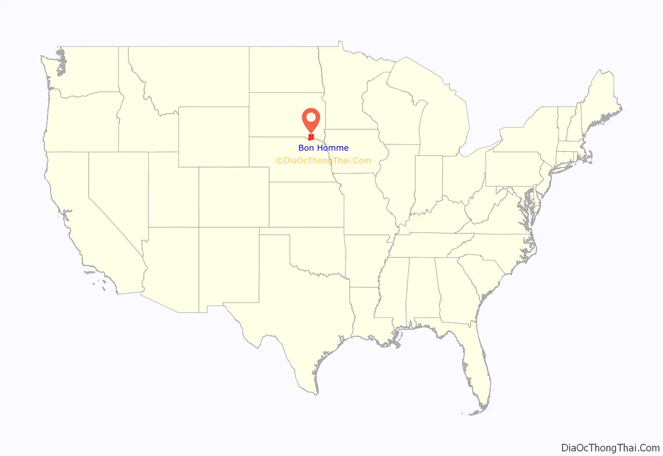
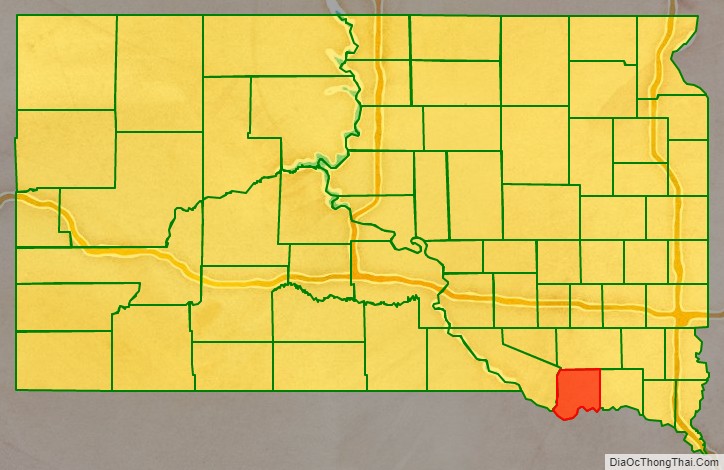
Bon Homme County location map. Where is Bon Homme County?
History
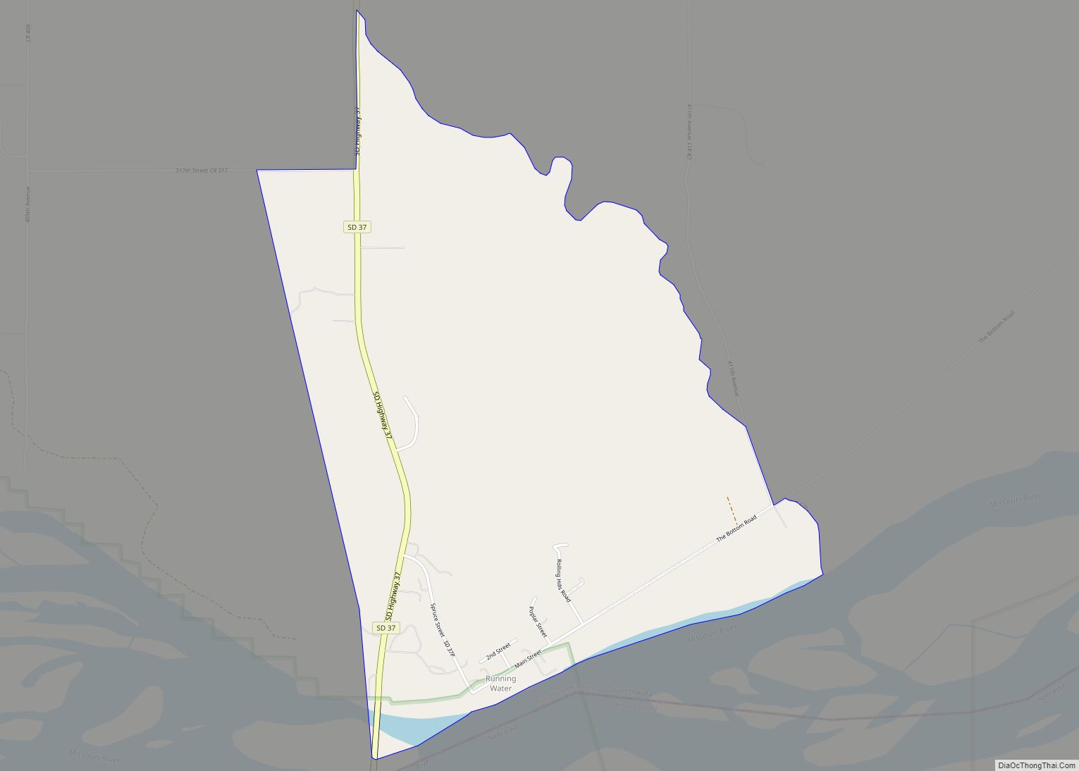
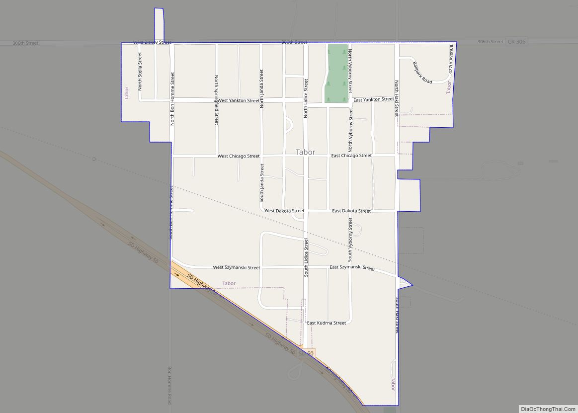
Bon Homme County was created in 1862. “Bon Homme” was first used by Lewis and Clark in 1804 as the name for a 2,000 acre island in the Missouri River. When settlers arrived in the late 1850s they borrowed the name, and when the county was created it was named for the village of Bon Homme. A proposal to change the county name to “Jefferson” in 1865 was rejected. The French word “bonhomme” means “good man.” The original island is now submerged under Lewis and Clark Lake. The village of Bon Homme was the original county seat until 1885, when it moved to Tyndall.
Bon Homme County is the point of origin for the Siberian alien, Kali tragus, a type of tumbleweed, first reported here in 1877, probably introduced in a shipment of flax seed from Ukraine.
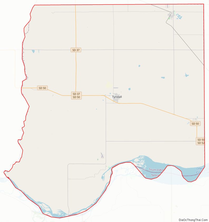
Bon Homme County Road Map
Geography
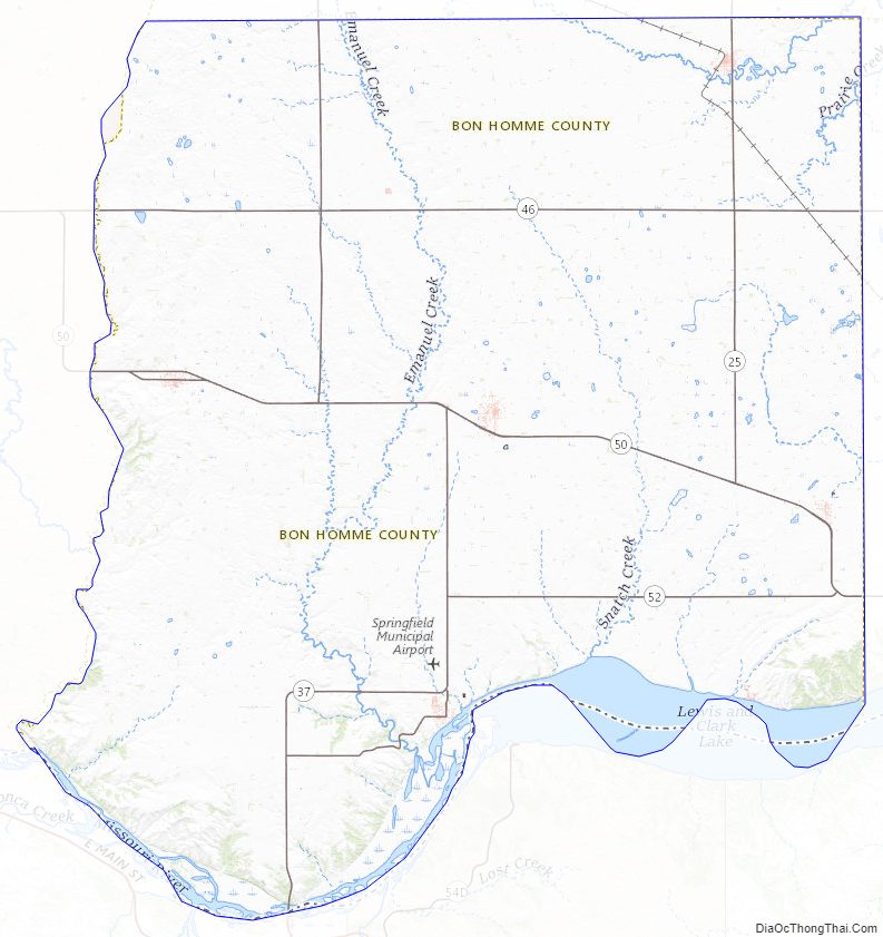
Bon Homme County lies on the south line of South Dakota. Its south boundary line abuts the north boundary line of the state of Nebraska (across the Missouri River). The west boundary line of the county is roughly defined by Choteau Creek, which flows southward to discharge in the river. The county terrain consists of low rolling hills, sloping to the river valley; most of the area is devoted to agriculture. The terrain’s highest point is the county’s NW corner, at 1,883′ (574m) ASL.
The county has a total area of 582 square miles (1,510 km), of which 564 square miles (1,460 km) is land and 18 square miles (47 km) (3.1%) is water.
Major highways
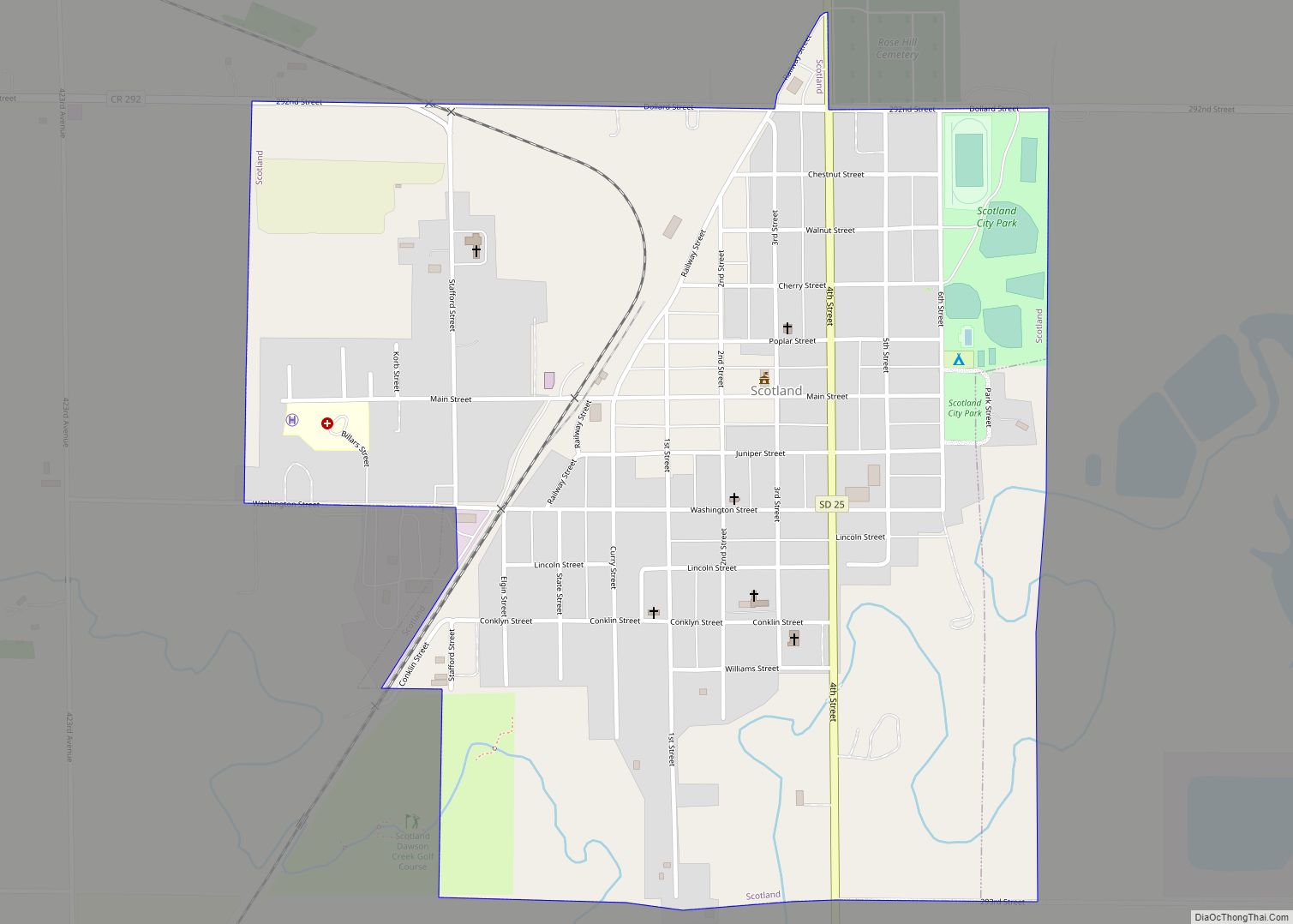
- South Dakota Highway 25
- South Dakota Highway 37
- South Dakota Highway 46
- South Dakota Highway 50
- South Dakota Highway 52
Adjacent counties
- Hutchinson County – north
- Yankton County – east
- Knox County, Nebraska – south
- Charles Mix County – west
Protected area
- Bucholz Waterfowl Production Area
- Charley Creek Unit
- Cosby Waterfowl Production Area
- Missouri National Recreational River (part)
- Sand Creek Recreation Area
- Schaefer Waterfowl Production Area
- Scheffel Waterfowl Production Area
- Snatch Creek Recreation Area
- South Bon Homme State Shooting Area
- Springfield State Recreation Area
- Tabor State Lakeside Use Area
Lakes
- Lake Henry
- Hruska Lake
- Kloucek Lake
- Lewis and Clark Lake (part)
- Meiers Lake
Bon Homme County Topographic Map
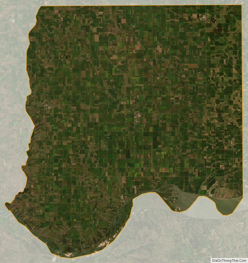
Bon Homme County Satellite Map
Bon Homme County Outline Map