Springfield is a city in Bon Homme County, South Dakota, United States. The population was 1,914 at the 2020 census. As of 2012, about 1,200 of the residents were inmates at Mike Durfee State Prison.
Springfield was named on account of there being numerous natural springs in the area.
| Name: | Springfield city |
|---|---|
| LSAD Code: | 25 |
| LSAD Description: | city (suffix) |
| State: | South Dakota |
| County: | Bon Homme County |
| Incorporated: | 1881 |
| Elevation: | 1,299 ft (396 m) |
| Total Area: | 1.03 sq mi (2.67 km²) |
| Land Area: | 1.03 sq mi (2.67 km²) |
| Water Area: | 0.00 sq mi (0.00 km²) |
| Total Population: | 1,914 |
| Population Density: | 1,856.45/sq mi (716.83/km²) |
| ZIP code: | 57062 |
| Area code: | 605 |
| FIPS code: | 4660660 |
| GNISfeature ID: | 1258297 |
| Website: | http://www.springfieldsd.com/ |
Online Interactive Map
Click on ![]() to view map in "full screen" mode.
to view map in "full screen" mode.
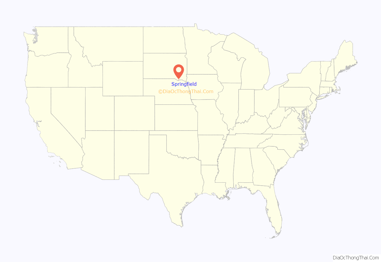
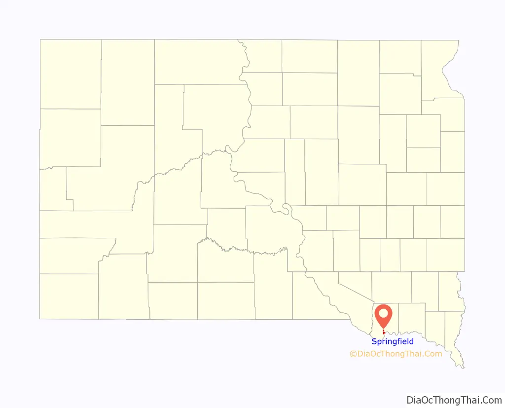
Springfield location map. Where is Springfield city?
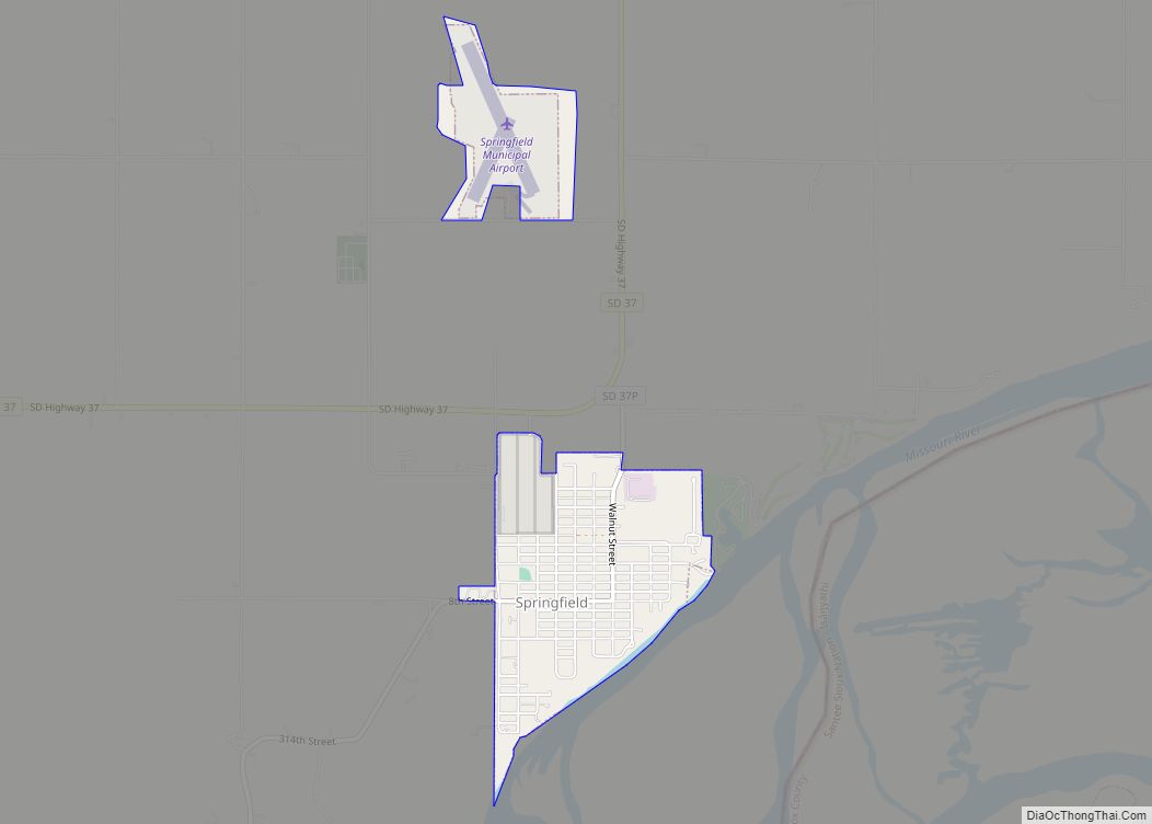
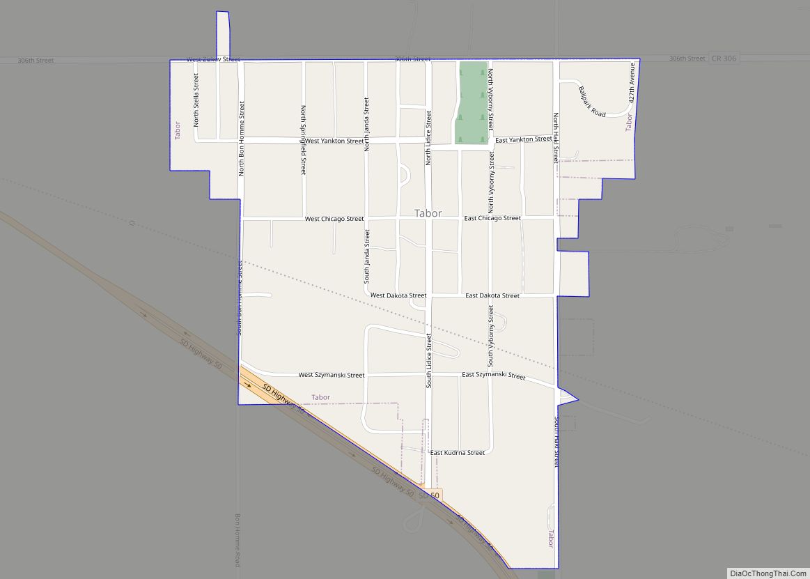
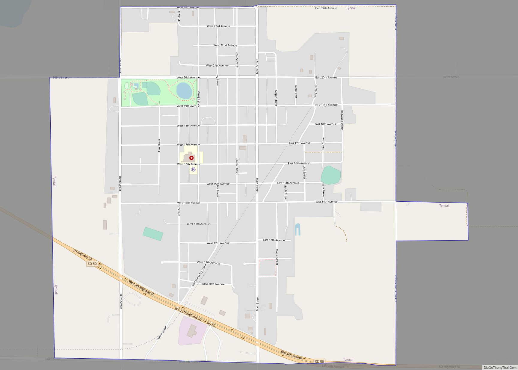
Springfield Road Map

Springfield city Satellite Map

Geography
Springfield is located at 42°51′17″N 97°53′41″W / 42.85472°N 97.89472°W / 42.85472; -97.89472 (42.854763, -97.894814).
According to the United States Census Bureau, the city has a total area of 1.01 square miles (2.62 km), all land.
Springfield has been assigned the ZIP code 57062 and the FIPS place code 60660.
Springfield is located on the north shore of Lewis and Clark Lake, a 31,000-acre impoundment of the Missouri River.
See also
Map of South Dakota State and its subdivision:- Aurora
- Beadle
- Bennett
- Bon Homme
- Brookings
- Brown
- Brule
- Buffalo
- Butte
- Campbell
- Charles Mix
- Clark
- Clay
- Codington
- Corson
- Custer
- Davison
- Day
- Deuel
- Dewey
- Douglas
- Edmunds
- Fall River
- Faulk
- Grant
- Gregory
- Haakon
- Hamlin
- Hand
- Hanson
- Harding
- Hughes
- Hutchinson
- Hyde
- Jackson
- Jerauld
- Jones
- Kingsbury
- Lake
- Lawrence
- Lincoln
- Lyman
- Marshall
- McCook
- McPherson
- Meade
- Mellette
- Miner
- Minnehaha
- Moody
- Pennington
- Perkins
- Potter
- Roberts
- Sanborn
- Shannon
- Spink
- Stanley
- Sully
- Todd
- Tripp
- Turner
- Union
- Walworth
- Yankton
- Ziebach
- Alabama
- Alaska
- Arizona
- Arkansas
- California
- Colorado
- Connecticut
- Delaware
- District of Columbia
- Florida
- Georgia
- Hawaii
- Idaho
- Illinois
- Indiana
- Iowa
- Kansas
- Kentucky
- Louisiana
- Maine
- Maryland
- Massachusetts
- Michigan
- Minnesota
- Mississippi
- Missouri
- Montana
- Nebraska
- Nevada
- New Hampshire
- New Jersey
- New Mexico
- New York
- North Carolina
- North Dakota
- Ohio
- Oklahoma
- Oregon
- Pennsylvania
- Rhode Island
- South Carolina
- South Dakota
- Tennessee
- Texas
- Utah
- Vermont
- Virginia
- Washington
- West Virginia
- Wisconsin
- Wyoming