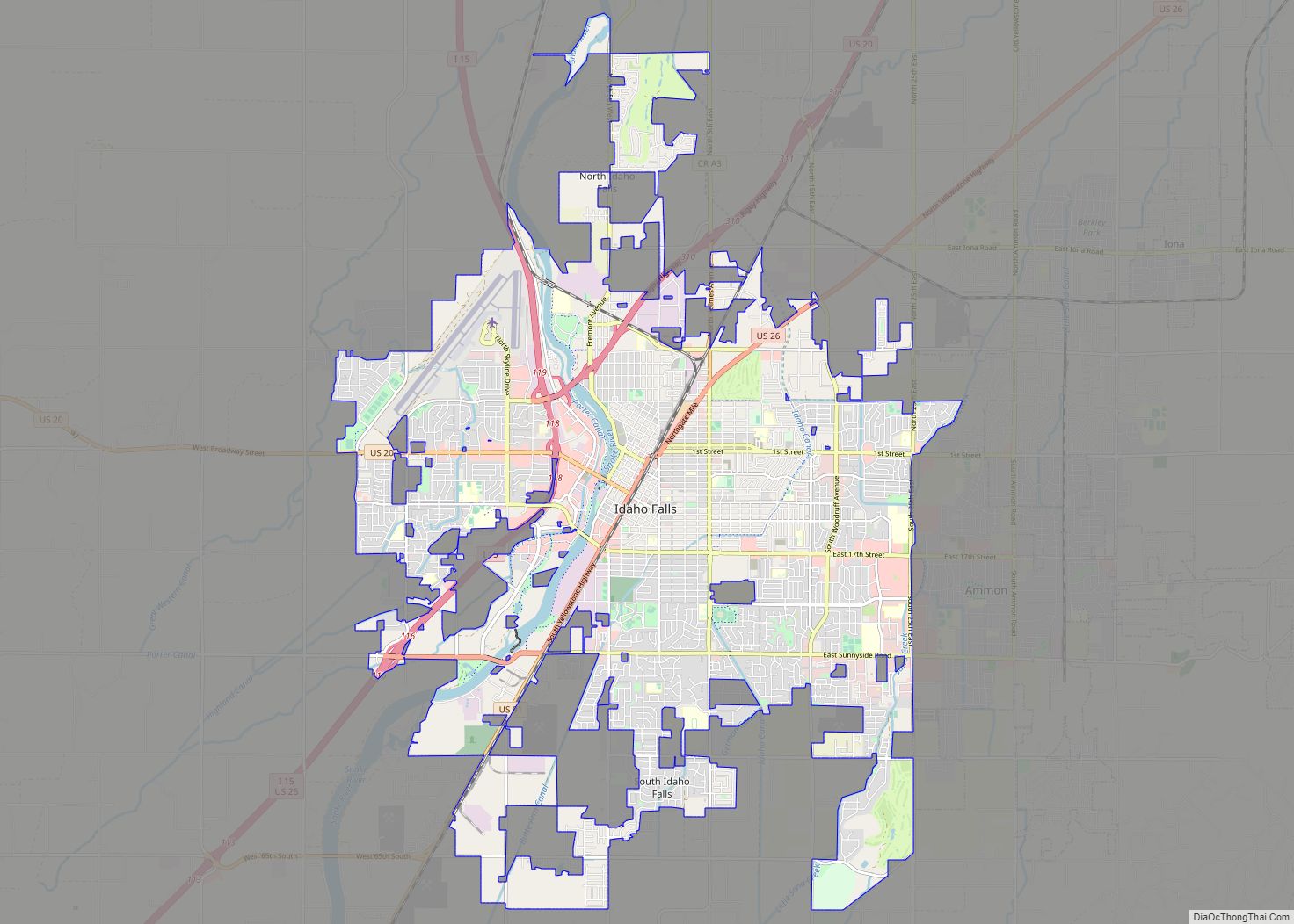
Ammon, the city “Where Tomorrow Begins,” is a suburb city located directly between the Ammon foothills on the east and the city of Idaho Falls on the west, in Bonneville County, Idaho, United States. As of the 2010 US Census, the population of Ammon was 13,816. By the 2020 census, Ammon’s population had grown to 17,694.
Ammon was one of Idaho’s fastest growing cities from 2000 to 2010. The city experienced a 123.3% growth rate from 2000 to 2010 based on the 2010 US Census. Ammon is the 15th largest city in Idaho.
| Name: | Ammon city |
|---|---|
| LSAD Code: | 25 |
| LSAD Description: | city (suffix) |
| State: | Idaho |
| County: | Bonneville County |
| Incorporated: | 1905 |
| Elevation: | 4,715 ft (1,437 m) |
| Total Area: | 7.61 sq mi (19.70 km²) |
| Land Area: | 7.59 sq mi (19.67 km²) |
| Water Area: | 0.01 sq mi (0.03 km²) |
| Total Population: | 13,816 |
| Population Density: | 2,253.75/sq mi (870.17/km²) |
| ZIP code: | 83406 |
| FIPS code: | 1601990 |
| GNISfeature ID: | 0396038 |
| Website: | www.ci.ammon.id.us |
Online Interactive Map
Click on ![]() to view map in "full screen" mode.
to view map in "full screen" mode.
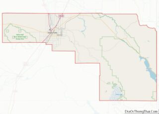
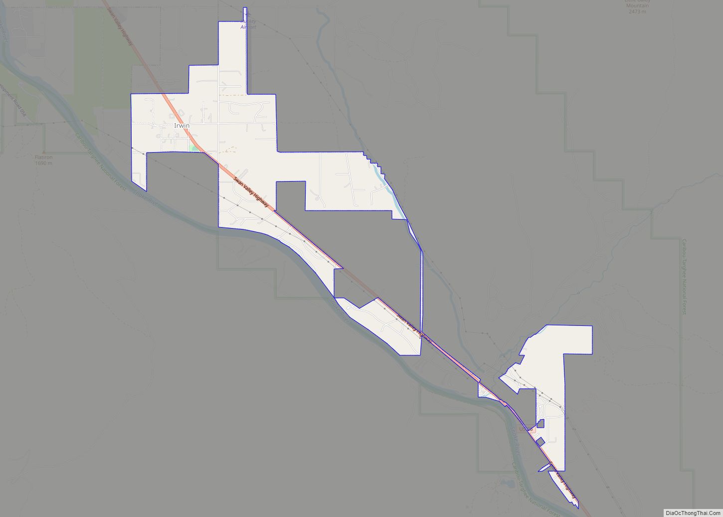
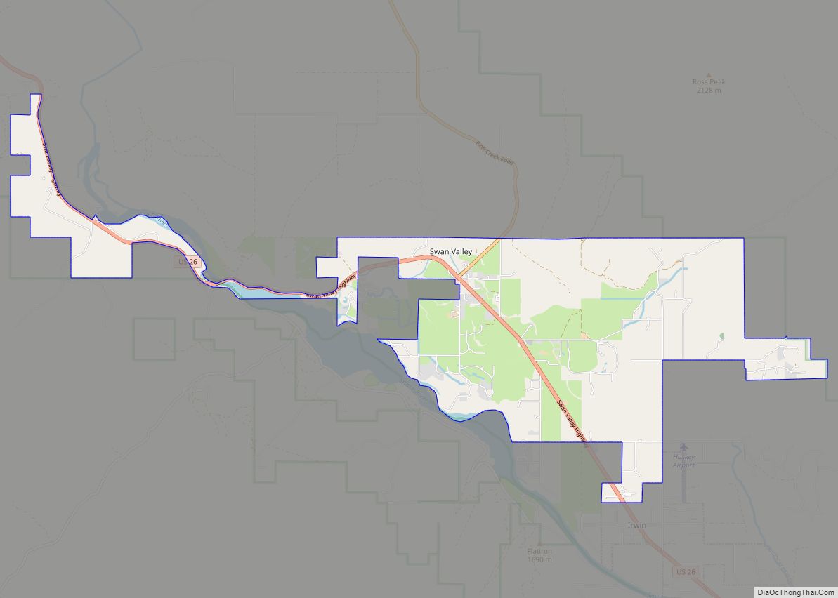
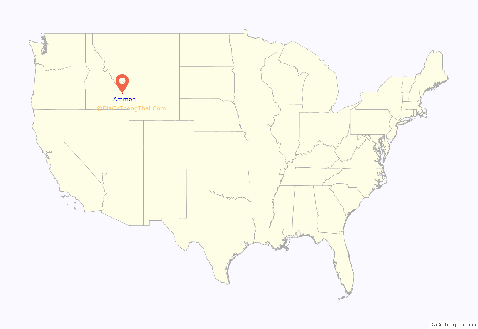
Ammon location map. Where is Ammon city?

History
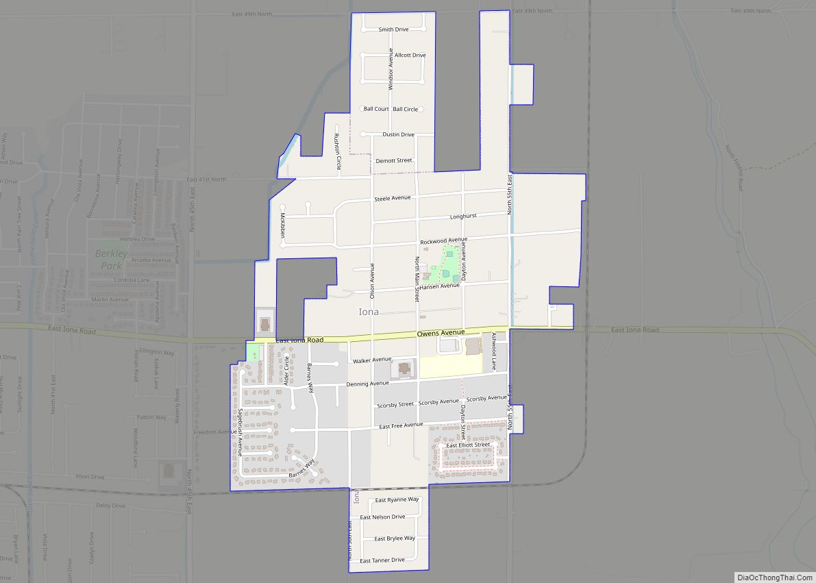
Ammon was founded by members of the Church of Jesus Christ of Latter-day Saints in 1888. It was originally called South Iona because it was the dependent branch in the south end of the Iona, Idaho ward. The area was made a ward in the church in 1889 with Arthur M. Rawson as bishop, who renamed the town in honor of Ammon, a figure in the LDS book of scripture, the Book of Mormon. Since it was now independent of the Iona Ward, a new name seemed appropriate. On February 9, 1893, the name of the town was changed from South Iona Ward to Ammon.
By 1930 the village of Ammon had 270 inhabitants, but the total district of Ammon, which is how the name is usually used and is closer to the modern borders, had a population of about 1100.
Ammon was an early agricultural center and later was home to several general stores, a grain elevator and a brickyard. The city was officially incorporated on October 10, 1905. It became a Second Class City under Idaho law in 1963. In the early 1900s a spur line was built by the Union Pacific Railroad to the Ammon Elevator. Beginning in the 1940s housing divisions have aided the city’s growth and it has become a suburb for the adjacent city of Idaho Falls. Building boomed in the 1990s in both the business and housing sectors, and the city was one of the fastest growing in Idaho from 2000 to 2010.
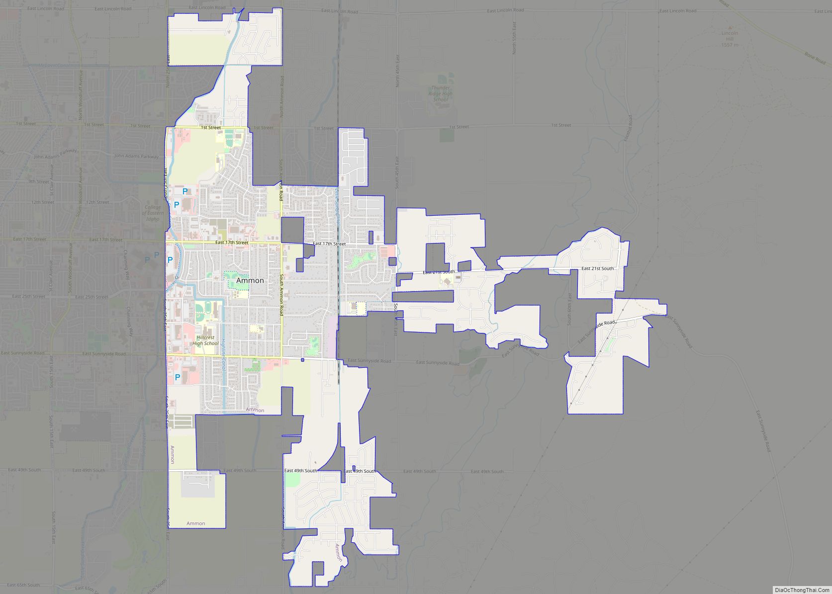
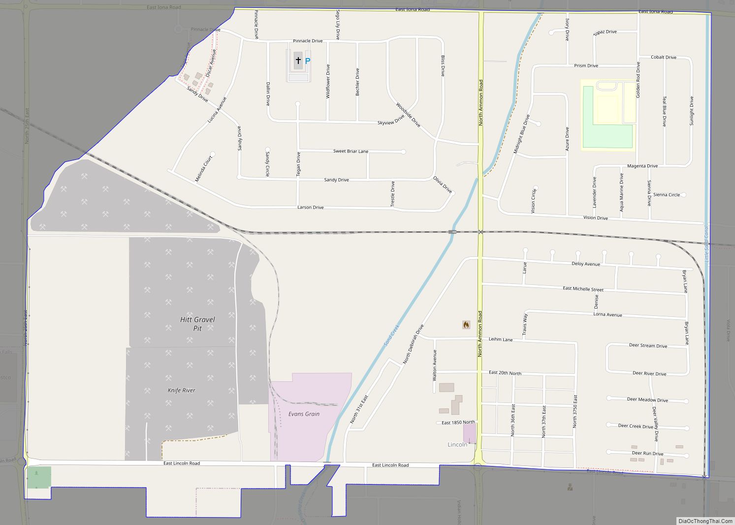
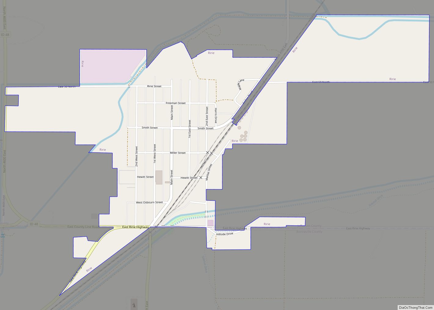
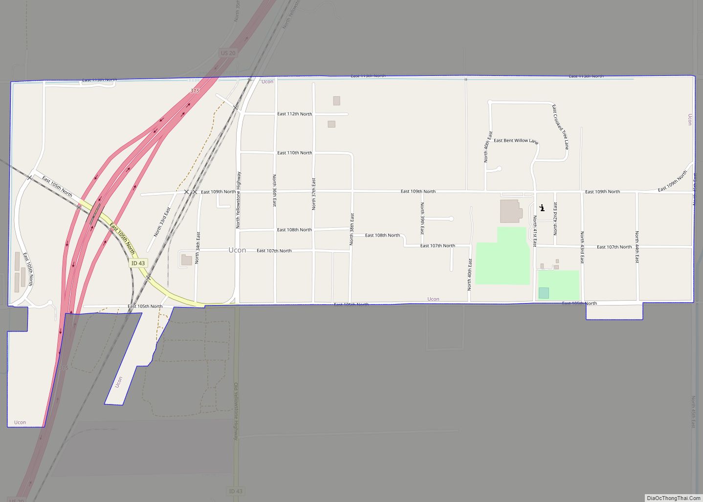
Ammon Road Map

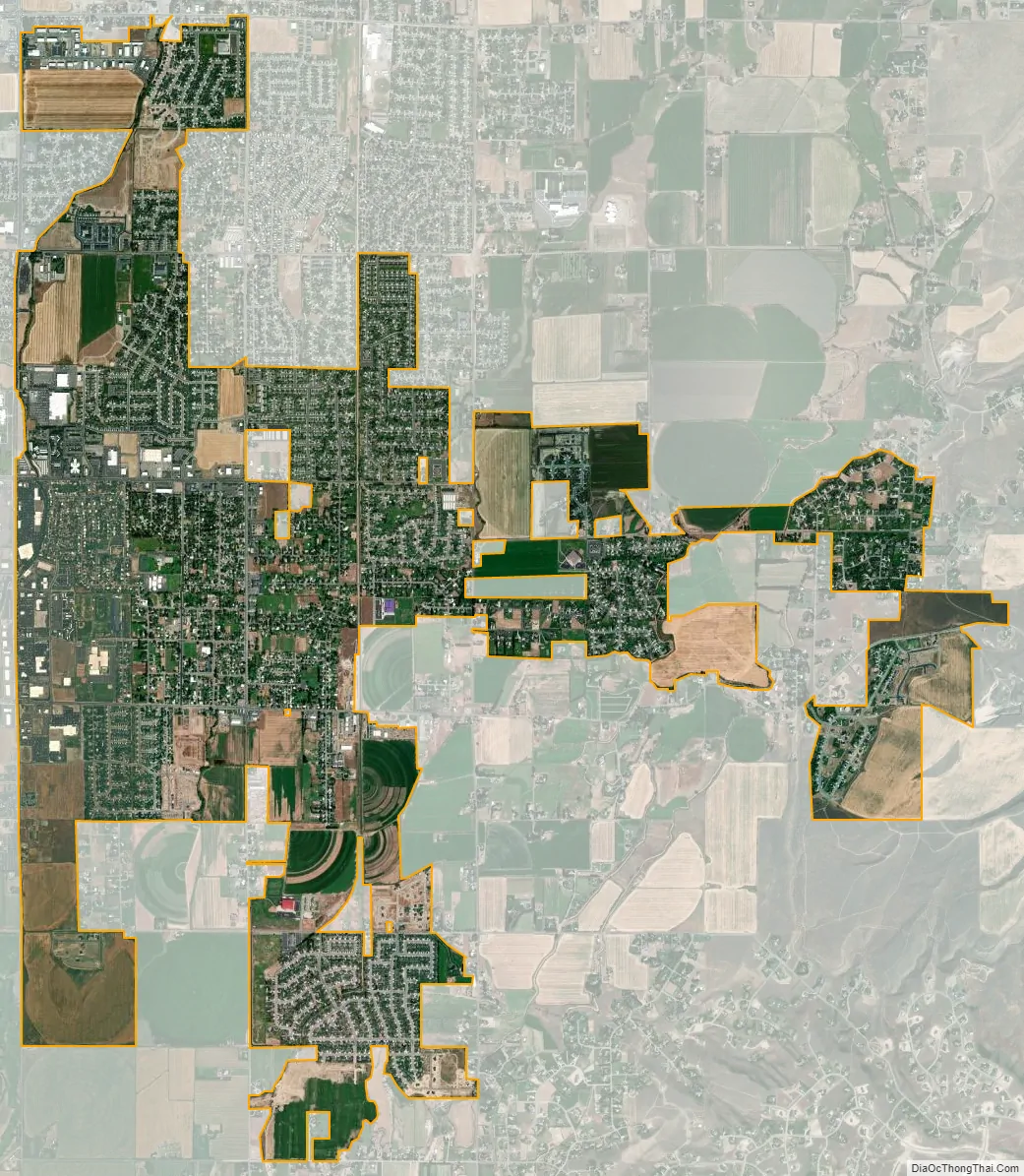
Ammon city Satellite Map
Geography
Ammon is located at 43°28′35″N 111°58′5″W / 43.47639°N 111.96806°W / 43.47639; -111.96806 (43.476268, -111.967964).
According to the United States Census Bureau, the city has a total area of 7.27 square miles (18.83 km), of which, 7.26 square miles (18.80 km) is land and 0.01 square miles (0.03 km) is water.
See also
Map of Idaho State and its subdivision:- Ada
- Adams
- Bannock
- Bear Lake
- Benewah
- Bingham
- Blaine
- Boise
- Bonner
- Bonneville
- Boundary
- Butte
- Camas
- Canyon
- Caribou
- Cassia
- Clark
- Clearwater
- Custer
- Elmore
- Franklin
- Fremont
- Gem
- Gooding
- Idaho
- Jefferson
- Jerome
- Kootenai
- Latah
- Lemhi
- Lewis
- Lincoln
- Madison
- Minidoka
- Nez Perce
- Oneida
- Owyhee
- Payette
- Power
- Shoshone
- Teton
- Twin Falls
- Valley
- Washington
- Alabama
- Alaska
- Arizona
- Arkansas
- California
- Colorado
- Connecticut
- Delaware
- District of Columbia
- Florida
- Georgia
- Hawaii
- Idaho
- Illinois
- Indiana
- Iowa
- Kansas
- Kentucky
- Louisiana
- Maine
- Maryland
- Massachusetts
- Michigan
- Minnesota
- Mississippi
- Missouri
- Montana
- Nebraska
- Nevada
- New Hampshire
- New Jersey
- New Mexico
- New York
- North Carolina
- North Dakota
- Ohio
- Oklahoma
- Oregon
- Pennsylvania
- Rhode Island
- South Carolina
- South Dakota
- Tennessee
- Texas
- Utah
- Vermont
- Virginia
- Washington
- West Virginia
- Wisconsin
- Wyoming