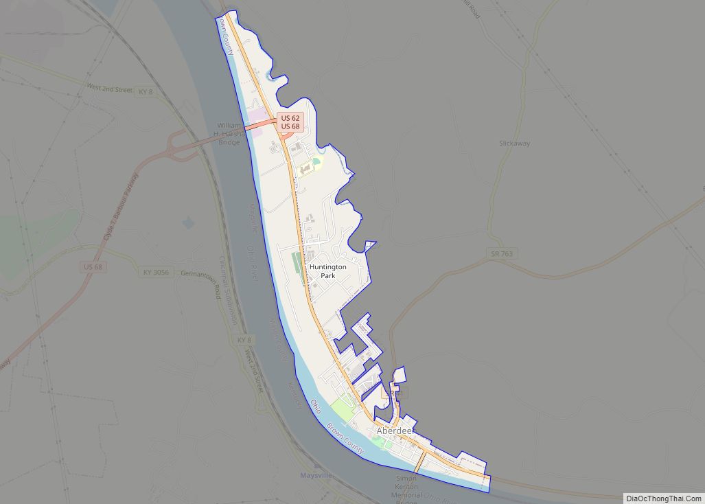
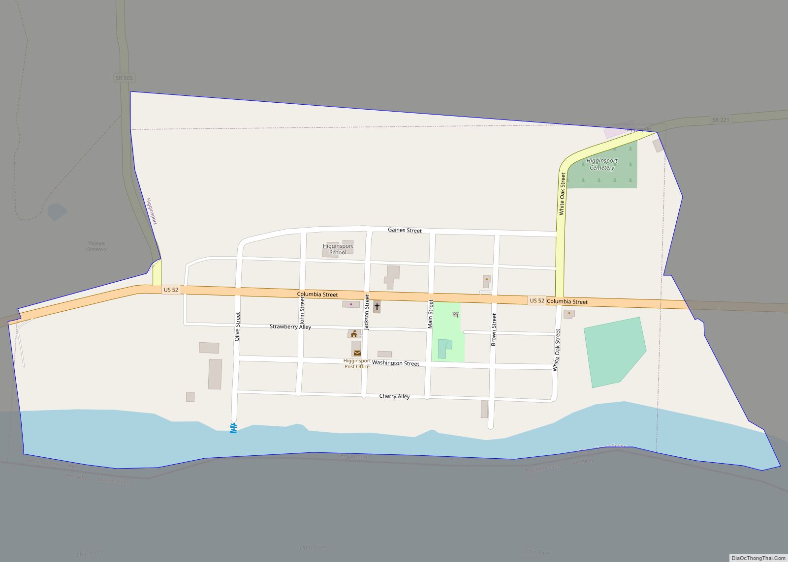
Higginsport is a village in Lewis Township, Brown County, Ohio, United States, along the Ohio River. The population was 251 at the 2010 census.
| Name: | Higginsport village |
|---|---|
| LSAD Code: | 47 |
| LSAD Description: | village (suffix) |
| State: | Ohio |
| County: | Brown County |
| Elevation: | 512 ft (156 m) |
| Total Area: | 0.29 sq mi (0.76 km²) |
| Land Area: | 0.25 sq mi (0.65 km²) |
| Water Area: | 0.04 sq mi (0.11 km²) |
| Total Population: | 213 |
| Population Density: | 848.61/sq mi (327.88/km²) |
| ZIP code: | 45131 |
| Area code: | 937 And 326 |
| FIPS code: | 3935168 |
| GNISfeature ID: | 1064835 |
Online Interactive Map
Click on ![]() to view map in "full screen" mode.
to view map in "full screen" mode.
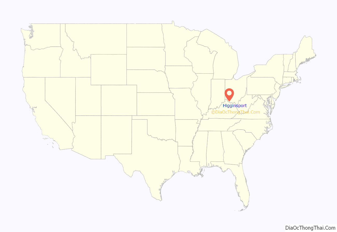
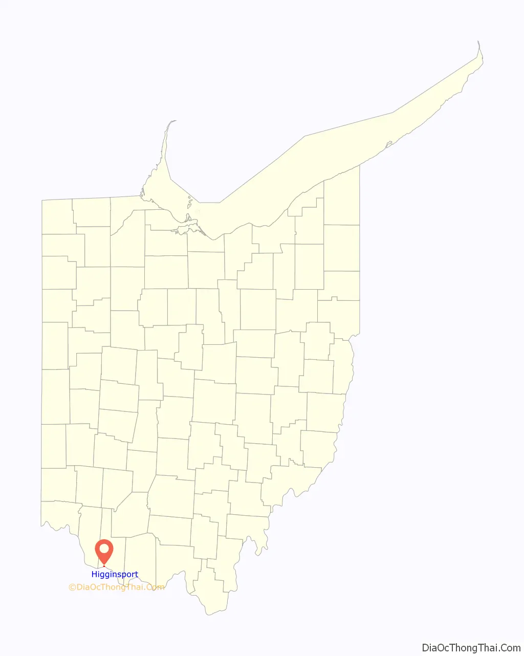
Higginsport location map. Where is Higginsport village?
History
Col. Robert Higgins was a Revolutionary War officer who had received 1,000 acres (400 ha) of land in Brown County, Ohio for his service to his country. He and his family first moved onto the land in 1799, building a small crude cabin near what is now Higginsport. On September 1, 1804, Higgins started surveying a new community named White Haven on his land, and that same month it was platted and recorded in Williamsburg. The community never grew, and after a number of years, was abandoned. On February 28, 1816, Higgins again replatted the community, this time with 114 lots, and renamed it Higginsport. The street layout mostly followed the original White Haven lines. Higgins also donated a small cemetery (his wife the first person buried here) to the town, as well as land in the center of town for a public park, and about 15 acres (6.1 ha) on the edge of town called White Oak Bottom. The first church was organized in 1818, and by 1819, there were 6 cabins here and a population of 6, but the community was growing. In 1828, a small store opened, which was expanded in 1832. In 1835, the first brick house was built in town, by Jesse Dugan, then owner of the store. Located at the corner of Water and Brown Streets, it was still standing in 2013. The Higgingsport Post Office was established on January 24, 1829, with a Mr. Roberts, the town tailor, as Post Master. Two more stores were opened in town in 1835 and 1839.
In 1880, the population was 862, and as of 1883, the community was described as a “thriving village”, containing in total five general stores, one clothing store, two drug stores, two tin shops, one hardware store, four fancy stores, one tobacco store, several grocery stores, two blacksmiths, one wagon-maker, one tavern, a grist mill, a distillery, five doctors, and two hotels.
White burley tobacco was first grown near Higginsport in 1864 from seed brought from Kentucky, and by the 1880s, the local economy was largely based on it. In 1883, there were seventeen tobacco warehouses and 32 different tobacco buyers, shipping approx. 2 million pounds annually down the Ohio River to New Orleans.
Two centuries of fires and floods have taken their toll on the communities original homes and businesses along the river front.
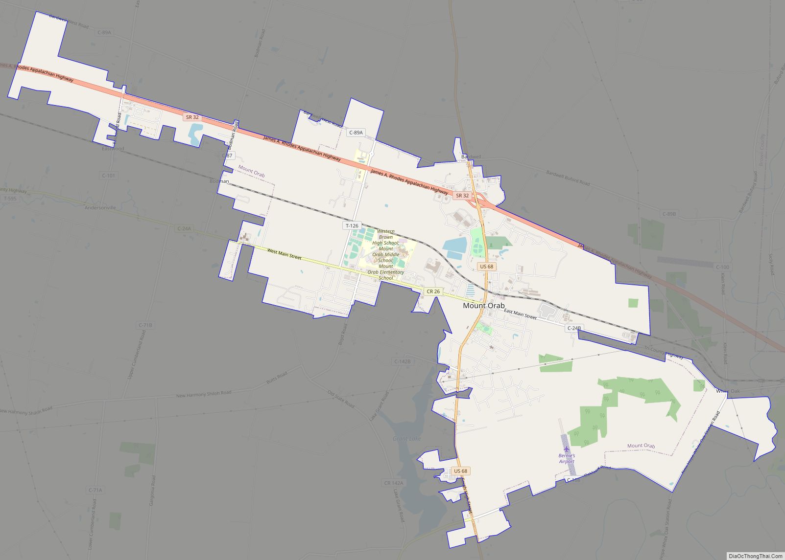
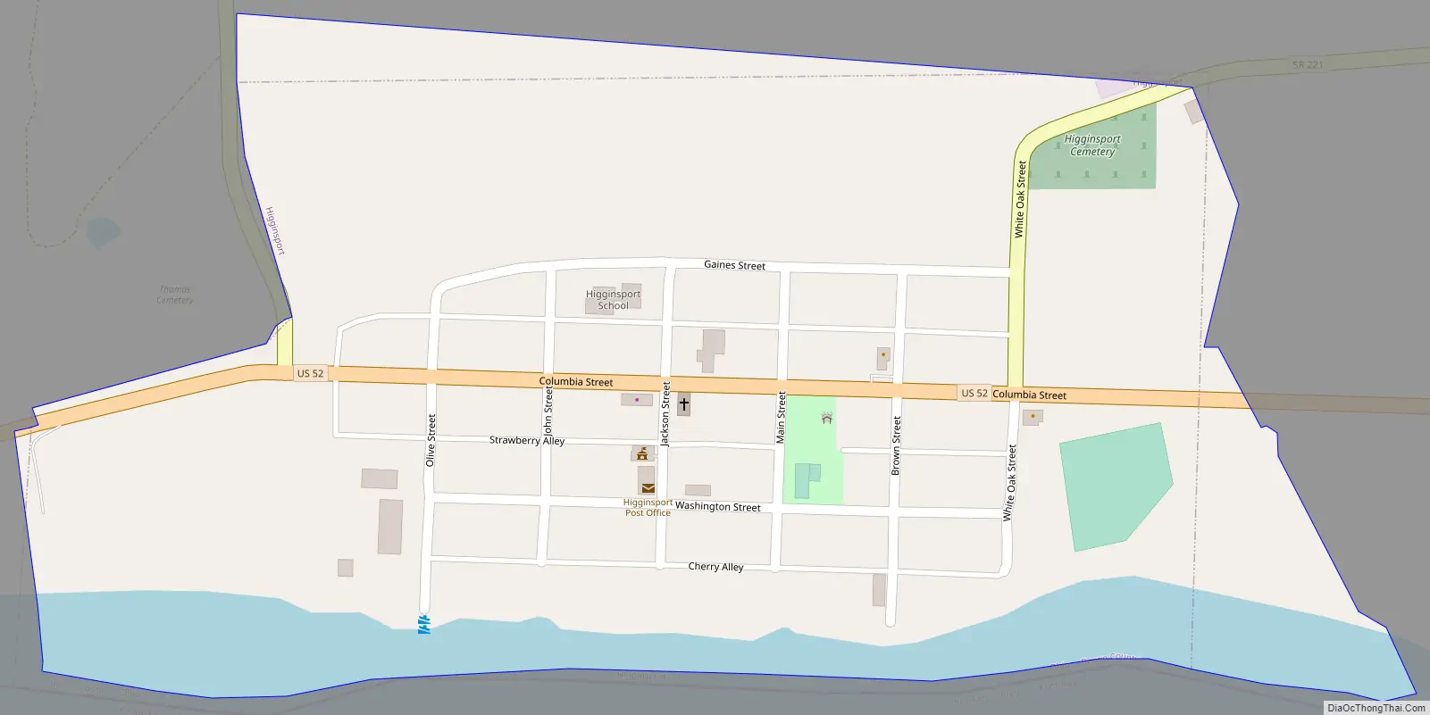
Higginsport Road Map
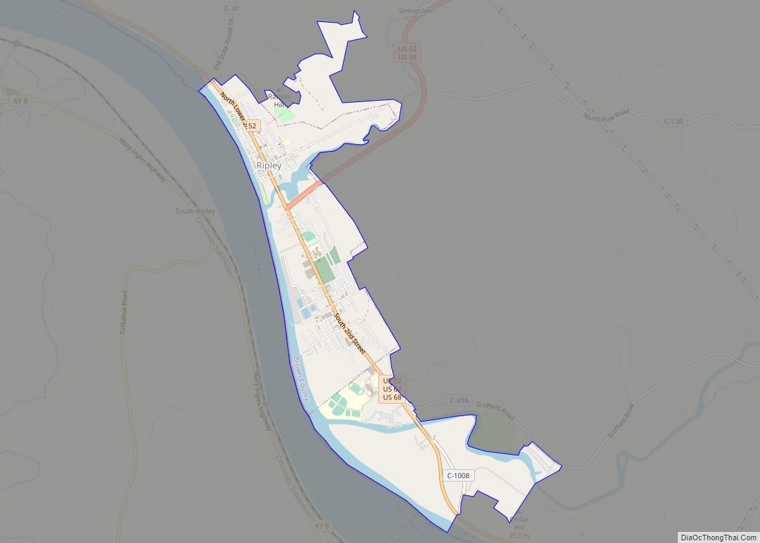
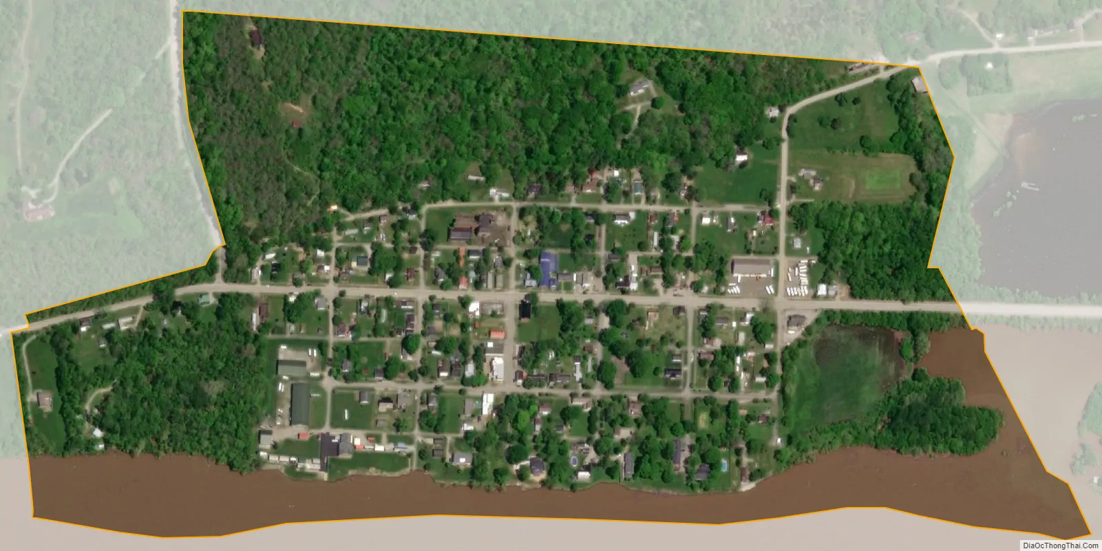
Higginsport city Satellite Map
Geography
Higginsport is located in the southeastern part of Lewis Township near the mouth of White Oak Creek, at 38°47′23″N 83°58′1″W / 38.78972°N 83.96694°W / 38.78972; -83.96694 (38.789585, -83.967055).
According to the United States Census Bureau, the village has a total area of 0.29 square miles (0.75 km), of which 0.25 square miles (0.65 km) is land and 0.04 square miles (0.10 km) is water.
See also
Map of Ohio State and its subdivision:- Adams
- Allen
- Ashland
- Ashtabula
- Athens
- Auglaize
- Belmont
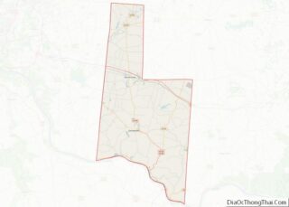
- Brown
- Butler
- Carroll
- Champaign
- Clark
- Clermont
- Clinton
- Columbiana
- Coshocton
- Crawford
- Cuyahoga
- Darke
- Defiance
- Delaware
- Erie
- Fairfield
- Fayette
- Franklin
- Fulton
- Gallia
- Geauga
- Greene
- Guernsey
- Hamilton
- Hancock
- Hardin
- Harrison
- Henry
- Highland
- Hocking
- Holmes
- Huron
- Jackson
- Jefferson
- Knox
- Lake
- Lake Erie
- Lawrence
- Licking
- Logan
- Lorain
- Lucas
- Madison
- Mahoning
- Marion
- Medina
- Meigs
- Mercer
- Miami
- Monroe
- Montgomery
- Morgan
- Morrow
- Muskingum
- Noble
- Ottawa
- Paulding
- Perry
- Pickaway
- Pike
- Portage
- Preble
- Putnam
- Richland
- Ross
- Sandusky
- Scioto
- Seneca
- Shelby
- Stark
- Summit
- Trumbull
- Tuscarawas
- Union
- Van Wert
- Vinton
- Warren
- Washington
- Wayne
- Williams
- Wood
- Wyandot
- Alabama
- Alaska
- Arizona
- Arkansas
- California
- Colorado
- Connecticut
- Delaware
- District of Columbia
- Florida
- Georgia
- Hawaii
- Idaho
- Illinois
- Indiana
- Iowa
- Kansas
- Kentucky
- Louisiana
- Maine
- Maryland
- Massachusetts
- Michigan
- Minnesota
- Mississippi
- Missouri
- Montana
- Nebraska
- Nevada
- New Hampshire
- New Jersey
- New Mexico
- New York
- North Carolina
- North Dakota
- Ohio
- Oklahoma
- Oregon
- Pennsylvania
- Rhode Island
- South Carolina
- South Dakota
- Tennessee
- Texas
- Utah
- Vermont
- Virginia
- Washington
- West Virginia
- Wisconsin
- Wyoming