Cleveland County (formerly Dorsey County) is a county located in the U.S. state of Arkansas. Its population was 7,550 at the 2020 U.S. census. The county seat and largest city is Rison.
Cleveland County is included in the Pine Bluff, AR Metropolitan Statistical Area, which is also included in the Little Rock–North Little Rock, AR Combined Statistical Area.
| Name: | Cleveland County |
|---|---|
| FIPS code: | 05-025 |
| State: | Arkansas |
| Founded: | April 17, 1873 |
| Named for: | Grover Cleveland |
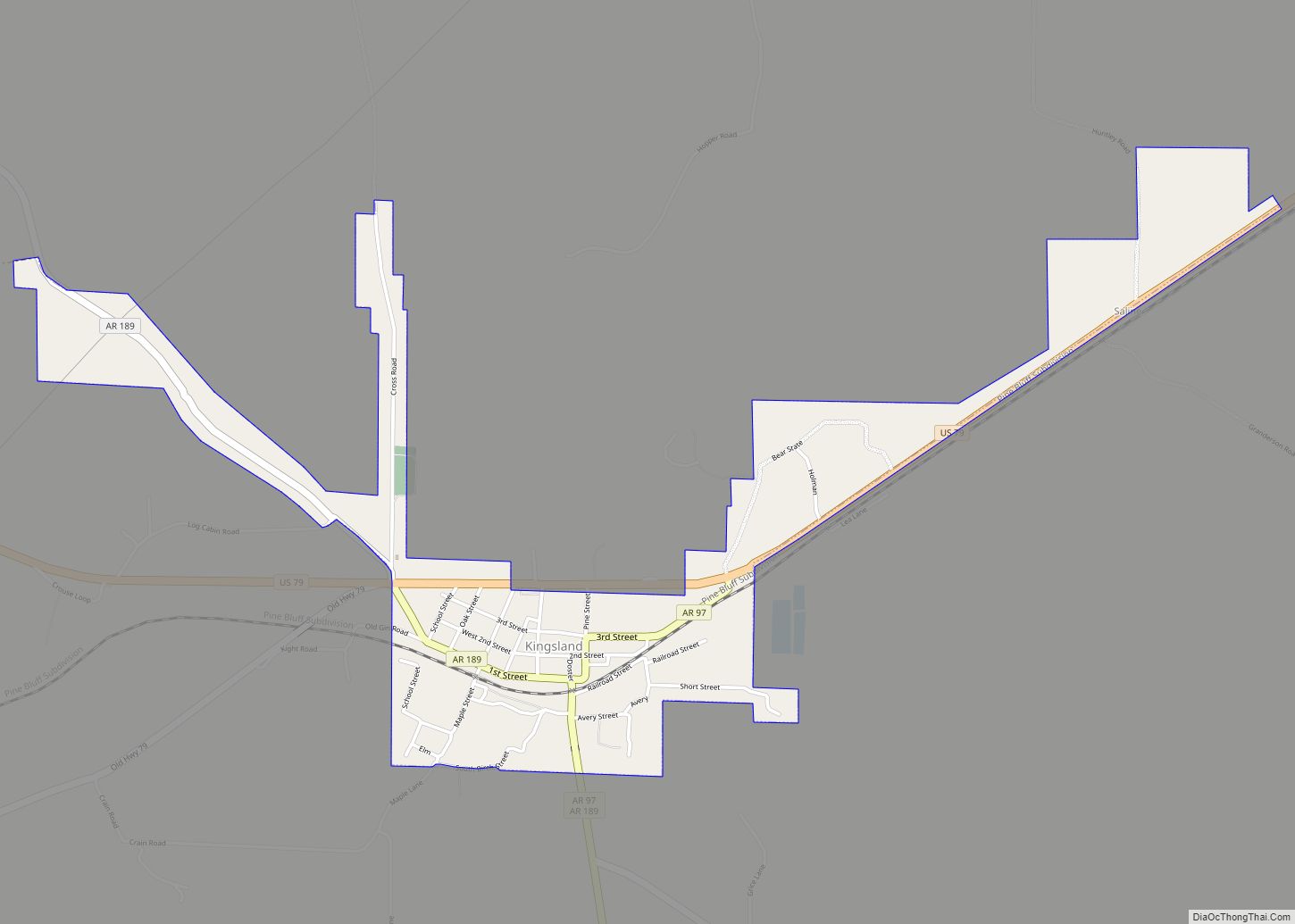
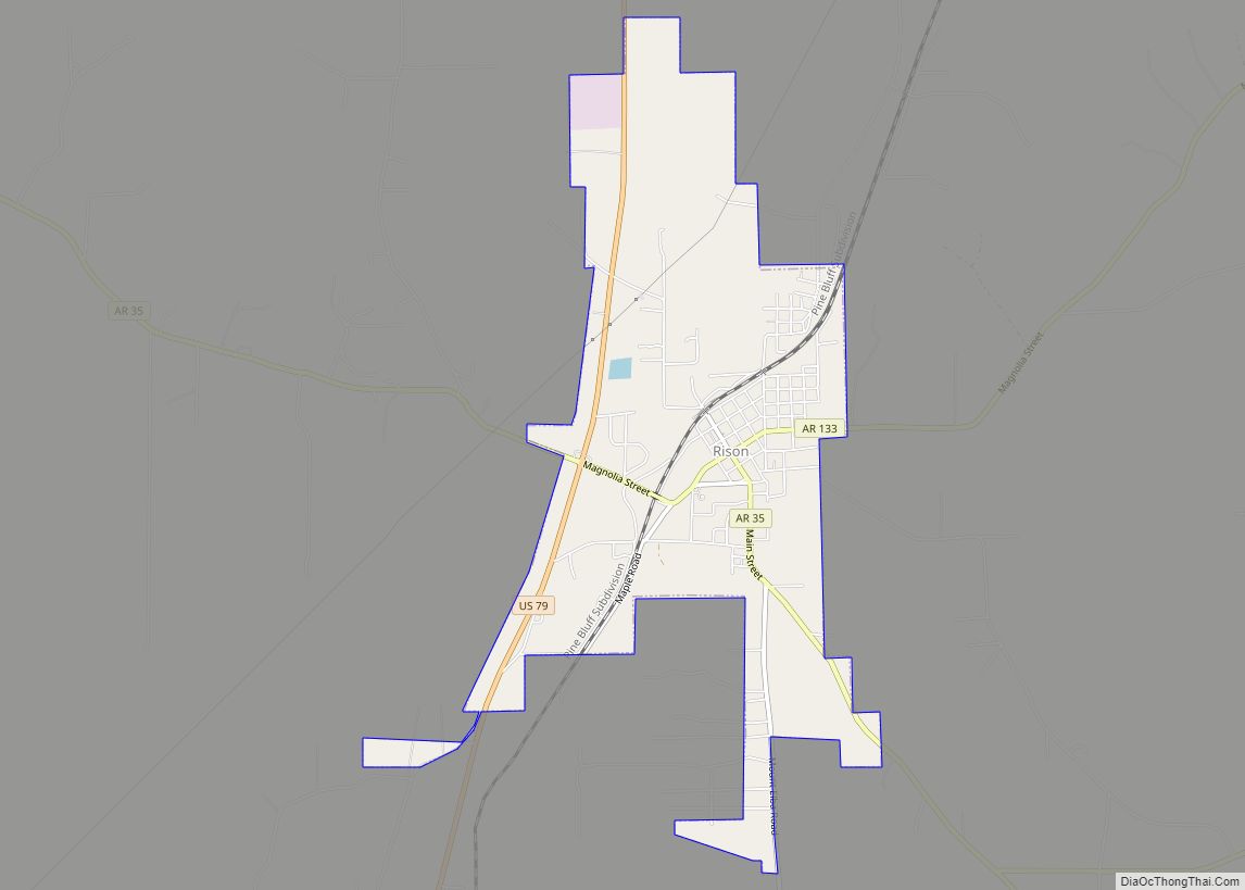
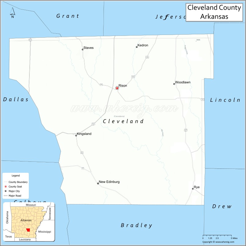
| Seat: | Rison |
| Largest city: | Rison |
| Total Area: | 599 sq mi (1,550 km²) |
| Land Area: | 598 sq mi (1,550 km²) |
| Total Population: | 7,550 |
| Population Density: | 13/sq mi (4.9/km²) |
| Time zone: | UTC−6 (Central) |
| Summer Time Zone (DST): | UTC−5 (CDT) |
| Website: | clevelandcounty.arkansas.gov |
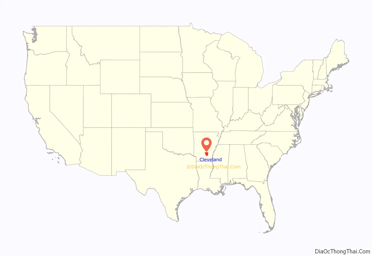
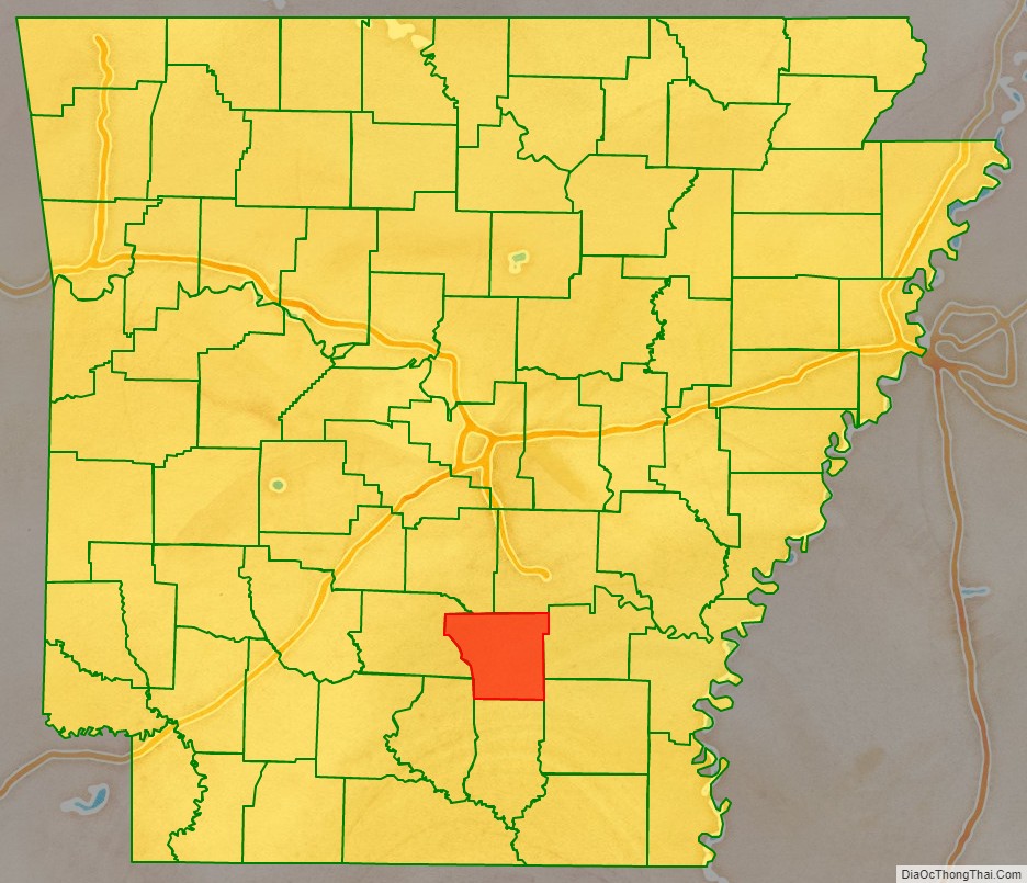
Cleveland County location map. Where is Cleveland County?
History
The Arkansas legislature established Dorsey County as Arkansas’s 71st county on April 17, 1873, naming it for Stephen W. Dorsey, the U.S. Senator from Arkansas. When he was indicted for defrauding the Post Office, they renamed it on March 5, 1885, for Grover Cleveland, the newly elected President of the United States.
The Battle of Mark’s Mills, the pivotal engagement in the Union Army’s ill-fated Camden Expedition during the U.S. Civil War, took place in what is now Cleveland County. This engagement resulted in a crushing victory for Confederate forces, though the victory ultimately proved to be hollow when Federal General Frederick Steele and the rest of his army managed to escape from Camden to Little Rock.
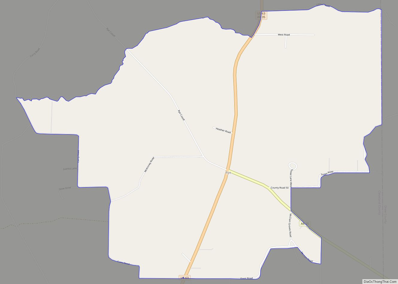
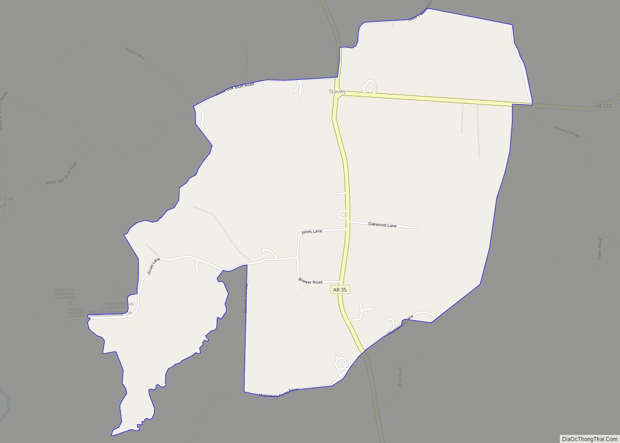
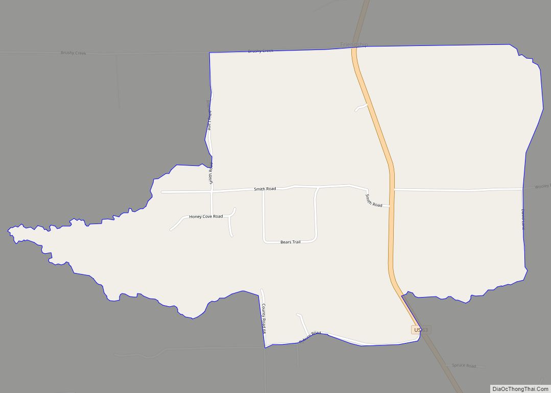
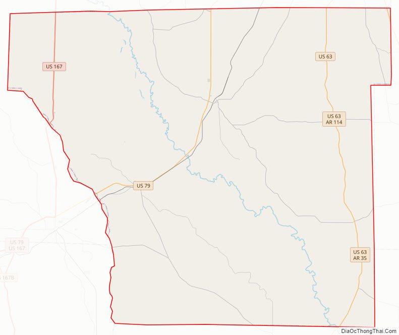
Cleveland County Road Map
Geography
According to the U.S. Census Bureau, the county has a total area of 599 square miles (1,550 km), of which 598 square miles (1,550 km) is land and 1.0 square mile (2.6 km) (0.2%) is water.
Major highways
- U.S. Highway 63
- U.S. Highway 79
- U.S. Highway 167
- Highway 8
- Highway 11
- Highway 15 (now US 63)
- Highway 35
- Highway 54
- Highway 97
- Highway 114
- Highway 133
- Highway 189
- Highway 212
Adjacent counties
- Grant County (northwest)
- Jefferson County (northeast)
- Lincoln County (east)
- Drew County (southeast)
- Bradley County (south)
- Calhoun County (southwest)
- Dallas County (west)
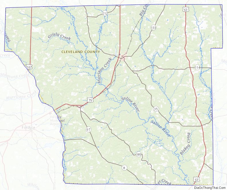
Cleveland County Topographic Map
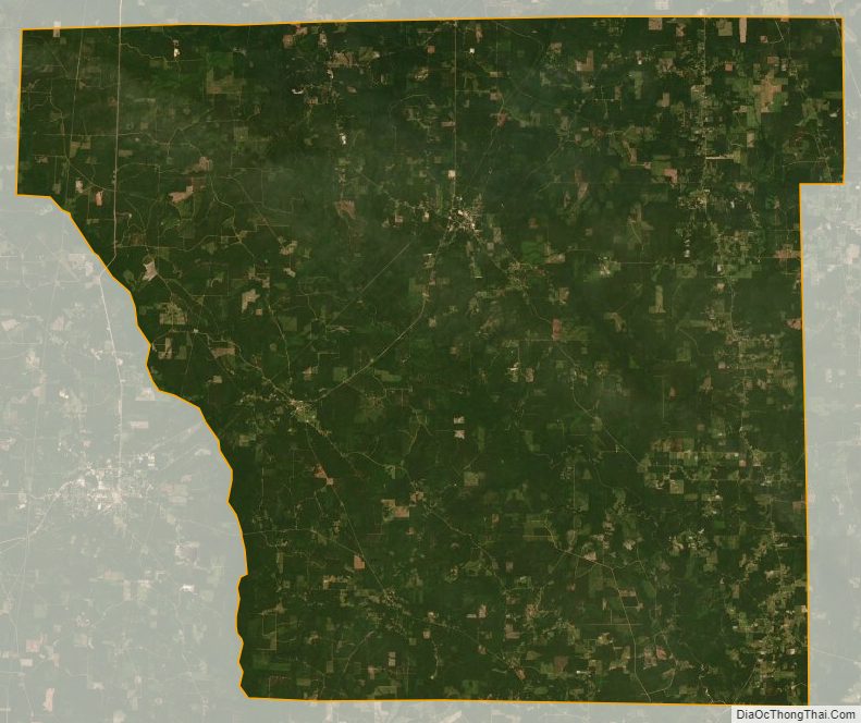
Cleveland County Satellite Map
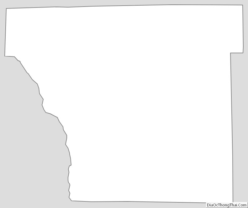
Cleveland County Outline Map