Opelousas (French: Les Opélousas; Spanish: Los Opeluzás) is a small city and the parish seat of St. Landry Parish, Louisiana, United States. Interstate 49 and U.S. Route 190 were constructed with a junction here. According to the 2020 census, Opelousas has a population of 15,786, a 6.53 percent decline since the 2010 census, which had recorded a population of 16,634. Opelousas is the principal city for the Opelousas-Eunice Micropolitan Statistical Area, which had an estimated population of 80,808 in 2020. Opelousas is also the fourth largest city in the Lafayette-Acadiana Combined Statistical Area, which has a population of 537,947.
Historically an area of settlement by French and Spanish Creoles, Creoles of color, and Acadians, Opelousas is the center of zydeco music. It celebrates its heritage at the Creoles of Color Heritage Folklife Center, one of the destinations on the new Louisiana African-American Heritage Trail. It is also the location of the Evangeline Downs Racetrack and Casino.
The city calls itself “the spice capital of the world”, with production and sale of seasonings such as Tony Chachere’s products, Targil Seasonings, Savoie’s cajun meats and products, and LouAna Cooking Oil.
During the tenure of Sheriff Cat Doucet, from 1936 to 1940 and again from 1952 to 1968, the section of Opelousas along Highway 190 was a haven of gambling and prostitution, the profits from which he skimmed a take.
| Name: | Opelousas city |
|---|---|
| LSAD Code: | 25 |
| LSAD Description: | city (suffix) |
| State: | Louisiana |
| County: | St. Landry Parish |
| Incorporated: | 1821 |
| Elevation: | 69 ft (21 m) |
| Total Area: | 9.68 sq mi (25.06 km²) |
| Land Area: | 9.67 sq mi (25.05 km²) |
| Water Area: | 0.00 sq mi (0.01 km²) |
| Total Population: | 15,786 |
| Population Density: | 1,632.13/sq mi (630.18/km²) |
| ZIP code: | 70570 |
| Area code: | 337 |
| FIPS code: | 2258045 |
| Website: | http://www.cityofopelousas.com |
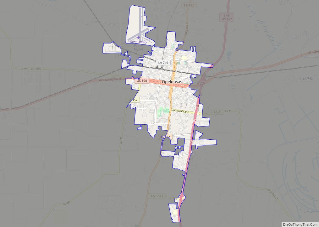
Online Interactive Map
Click on ![]() to view map in "full screen" mode.
to view map in "full screen" mode.
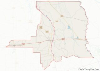
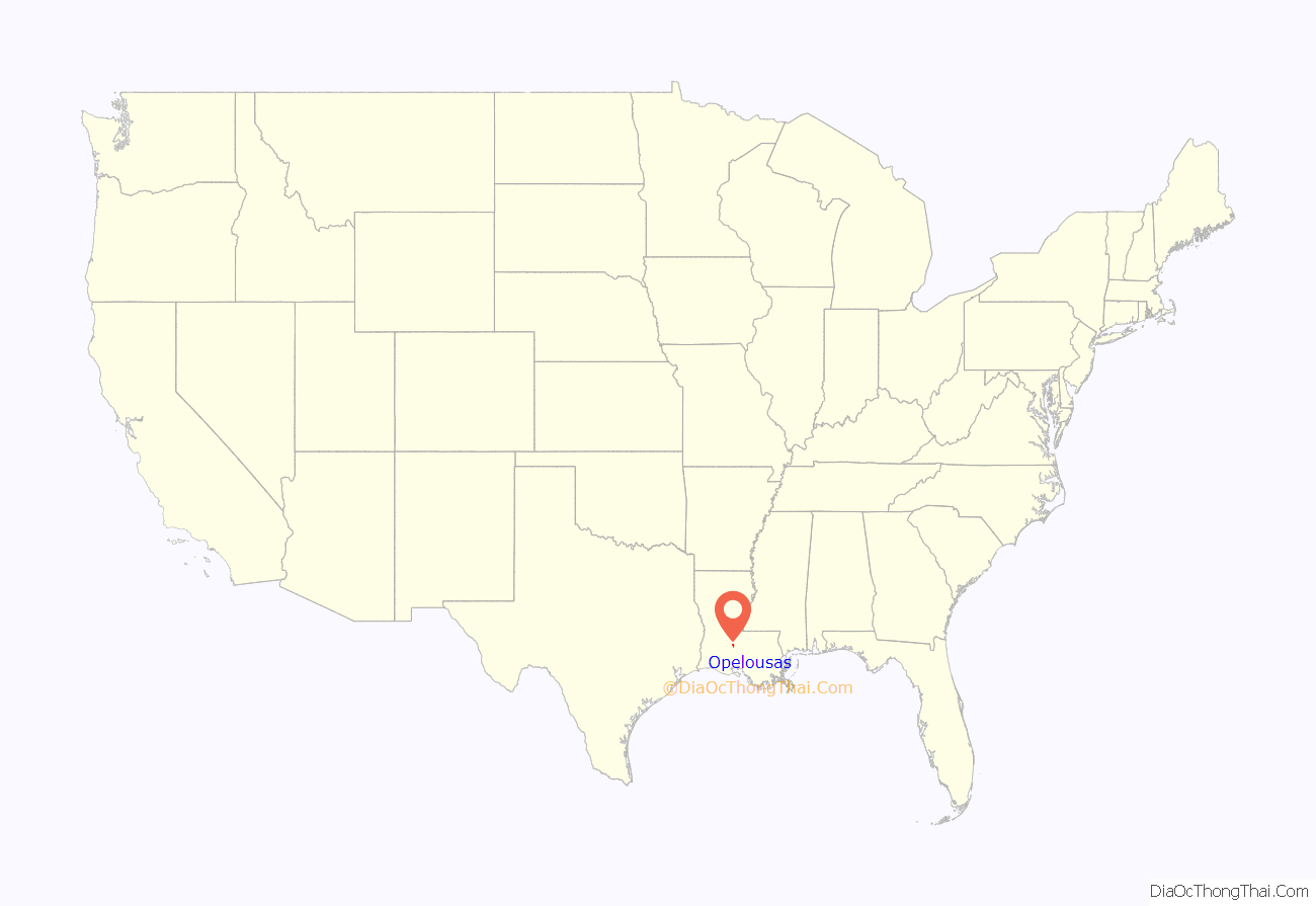
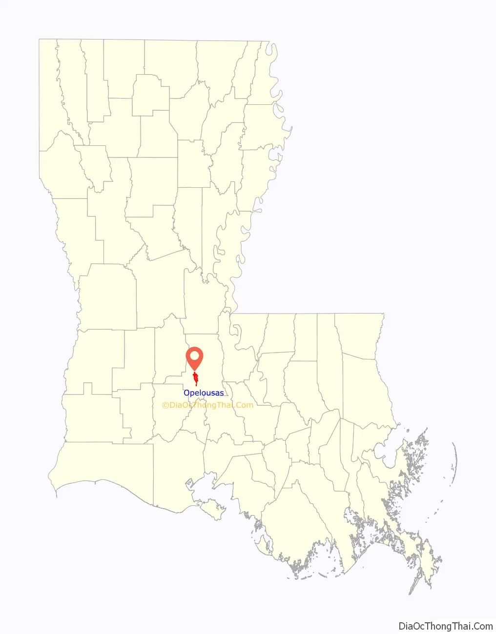
Opelousas location map. Where is Opelousas city?
History
Early years
Opelousas takes its name from the Native American tribe Opelousa who had occupied the area before European contact.
French traders, called coureur de bois (trapper and hunter), arrived in the Opelousas area in the early 1740s to trade with the Opelousas Indians. The French encouraged immigration to the Opelousas Post before they ceded Louisiana to Spain in 1762. An official post was established in 1764; Frenchman Louis Gérard Pellerin served as first commandant. By 1766, Saint Landry Catholic Church was built. In 1769, about 100 families, mostly French, were living in the post. Don Alejandro O’Reilly, Spanish governor of Louisiana, issued a land ordinance to allow settlers in the frontier of the Opelousas Territory to acquire land grants. However, O’Reilly forbade Acadians from settling in the Opelousas area until his successor, Luis de Unzaga, nullified that order and allowed Acadians to settle at the Opelousas. The first official land grant was made in 1782. Numerous settlers: French, Spanish, Creoles, and Acadians – mainly from the Attakapas Territory – came to the Opelousas Territory and acquired land grants. By the mid-1780s, land was granted at the site of contemporary Opelousas. (Some people confuse the name of this Indian tribe and territory, Opelousas, with that of the Appaloosa horse. But there is no connection; the name for the Appaloosa breed is derived from Palouse, a river named by the Nez Perce Northwestern Plains Indians.)
After the Louisiana Purchase of 1803, settlers continued to migrate here from St. Martinville. LeBon, Prejean, Thibodaux, Esprit, Nezat, Hebert, Babineaux, Mouton, and Provost were some of the early Creole families. (This use of Creole meant ethnic French and Spanish people who were born in Louisiana. Later Louisiana Creole was a term applied to anyone with French, Spanish, and Canadian ancestry. Creoles of color were mostly assigned to mixed-race people, descended primarily from Native Americans, African-Americans, and ethnic French, with other heritage in more recent years.) Other early French Creole families were Roy, Barre, Guenard, Decuir, and Bail. In 1820, Alex Charles Barre, also a French Creole, founded Port Barre. His ancestors came from the French West Indies, probably after the revolution in which Haiti (St. Domingue) became independent. Jim Bowie and his family were said to have settled in the area circa 1813.
In 1805, Opelousas became the seat of the newly formed St. Landry Parish – named after the church located there and in honor of Saint Landry – the parish was also known as the Imperial Parish of Louisiana. The year 1806 marked the beginning of significant construction in Opelousas. The first courthouse was constructed in the middle of the town. Later in 1806, Louisiana Memorial United Methodist Church was founded, the first Methodist church in Louisiana. Five years later, the first St. Landry Parish Police Jury met in Opelousas, keeping minutes in the two official languages of English and French. The city was incorporated by legislative act on February 14, 1821.
American Civil War
European and American settlement was based on plantation agriculture, and both groups brought or purchased numerous enslaved Africans and African Americans to work as laborers in cotton cultivation. African Americans influenced all cultures as the people created a creolized cuisine and music. The long decline of cotton prices throughout the 19th century created economic problems, worsened by the lack of employment diversity.
In 1862, after Baton Rouge fell to the Union troops during the Civil War, Opelousas was designated the state capital for nine months. The governor’s mansion in Opelousas, which was the oldest remaining governor’s mansion in Louisiana, was the victim of arson on July 14, 2016, and the structure was reduced to a chimney and its foundation. The one-story mansion was located on the corner of Liberty and Grolee Streets, just west of the heart of town. An observation tower was removed from the top of the residence in the early 1900s, but the remainder of the exterior was identical to its original construction in the 1850s. The entire roof section of heavy rafters was held in place by thousands of wooden pegs; not one nail could be found in the attic. Plans had been made to restore the building to some of its former splendor. The capital was moved again in 1863, this time to Shreveport, when Union troops occupied Opelousas. During Reconstruction, the state government operated from New Orleans.
Reconstruction
After the defeat of the South and emancipation of slaves, many whites had difficulty accepting the changed conditions, especially as economic problems and dependence on agriculture slowed the South’s recovery. Social tensions were high during Reconstruction. In 1868, in what is known as the Opelousas Massacre, whites killed 27 African Americans in a mass execution; they had been captured in a protest. Whites continued to attack blacks on sight for days. An estimated additional 23 to 200-300 freedmen were killed during this period. This series of murders comprised one of the single worst instances of Reconstruction violence in south Louisiana.
Following this, Opelousas in 1872 enacted ordinances that greatly restricted the freedoms of black Americans. These codes required blacks to have a written pass from their employer to enter the town and to state the duration of their visit. Blacks were not allowed on the streets after a 10 pm curfew; they could neither own a house nor reside in the town, unless they were employed by a white person, and they were not allowed in the town after 3 pm on Sundays. Like the Black Codes, such police regulations restricted the freedoms and personal autonomy of freedmen after the Civil War in the South.
Refugee era and beyond
In 1880, the railroad reached Opelousas. In the late 19th century, New York City social services agencies arranged for resettlement of Catholic orphan children by sending them to western rural areas, including Opelousas, in Louisiana and other states. At least three Orphan Trains reached this city before 1929. Opelousas is the heart of a traditional Catholic region of French, Spanish, Canadian, and French West Indian ancestry. Catholic families in Louisiana took in more than 2,000 mostly Catholic orphans to live in their rural farming communities.
In the year 1920, segregation at St Landry Catholic Church led local Black Catholics to establish their own parish, Holy Ghost. It has since grown to become the largest Black parish in the United States.
In May 1927, Opelousas accepted thousands of refugees following the Great Mississippi Flood of 1927 in the Mississippi Delta. Heavy rains in northern and midwestern areas caused intense flooding in areas of Mississippi, Arkansas, and Louisiana downstream, especially after levées near Moreauville, Cecilia, and Melville collapsed.
More than 81% of St. Landry Parish suffered some flooding, with 77% of the inhabitants directly affected. People in more southern areas of Louisiana, especially those communities along Bayou Teche, were forced to flee their homes for areas that suffered less damage. By May 20, over 5,700 refugees were registered in Opelousas, which had a population of only 6,000 people. Many of the refugees later returned to their homes and began the rebuilding process.
During the tenure of Parish Sheriff Cat Doucet from 1936 to 1940 and 1952 to 1968, the section of Opelousas along Highway 190 was a haven of gambling and prostitution. Doucet told historian Michael Kurtz that, with the return of Earl Long to the governorship in 1956, Doucet could bring back brothels and casinos and get a take of the proceeds.
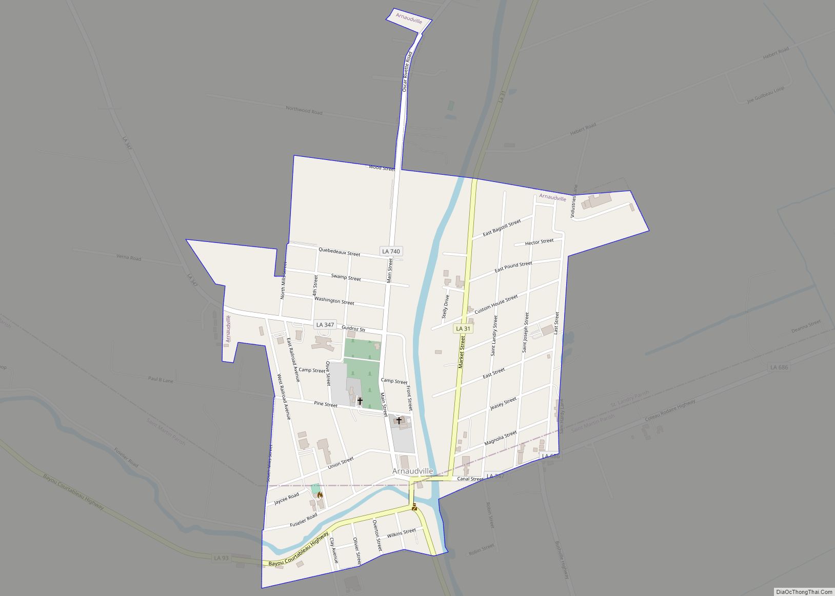
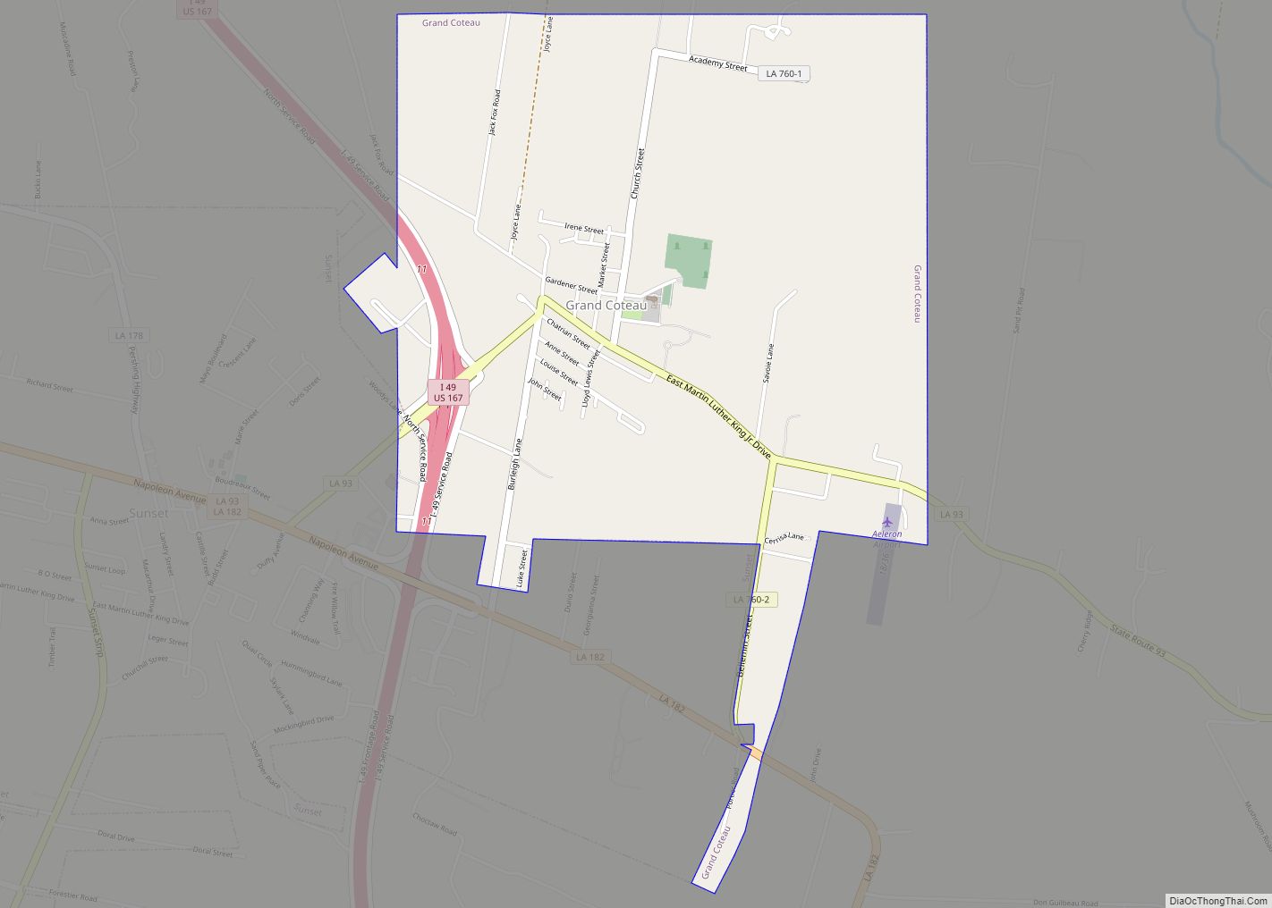
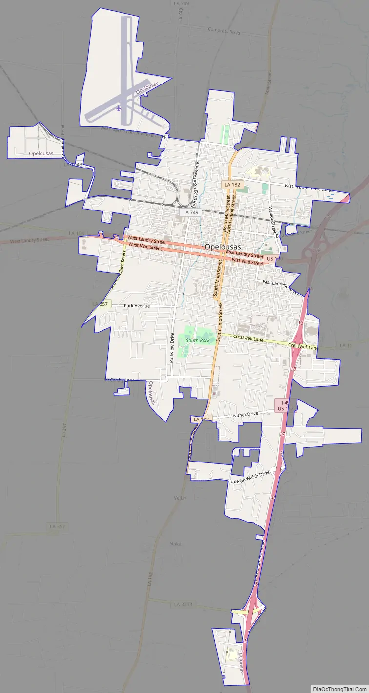
Opelousas Road Map
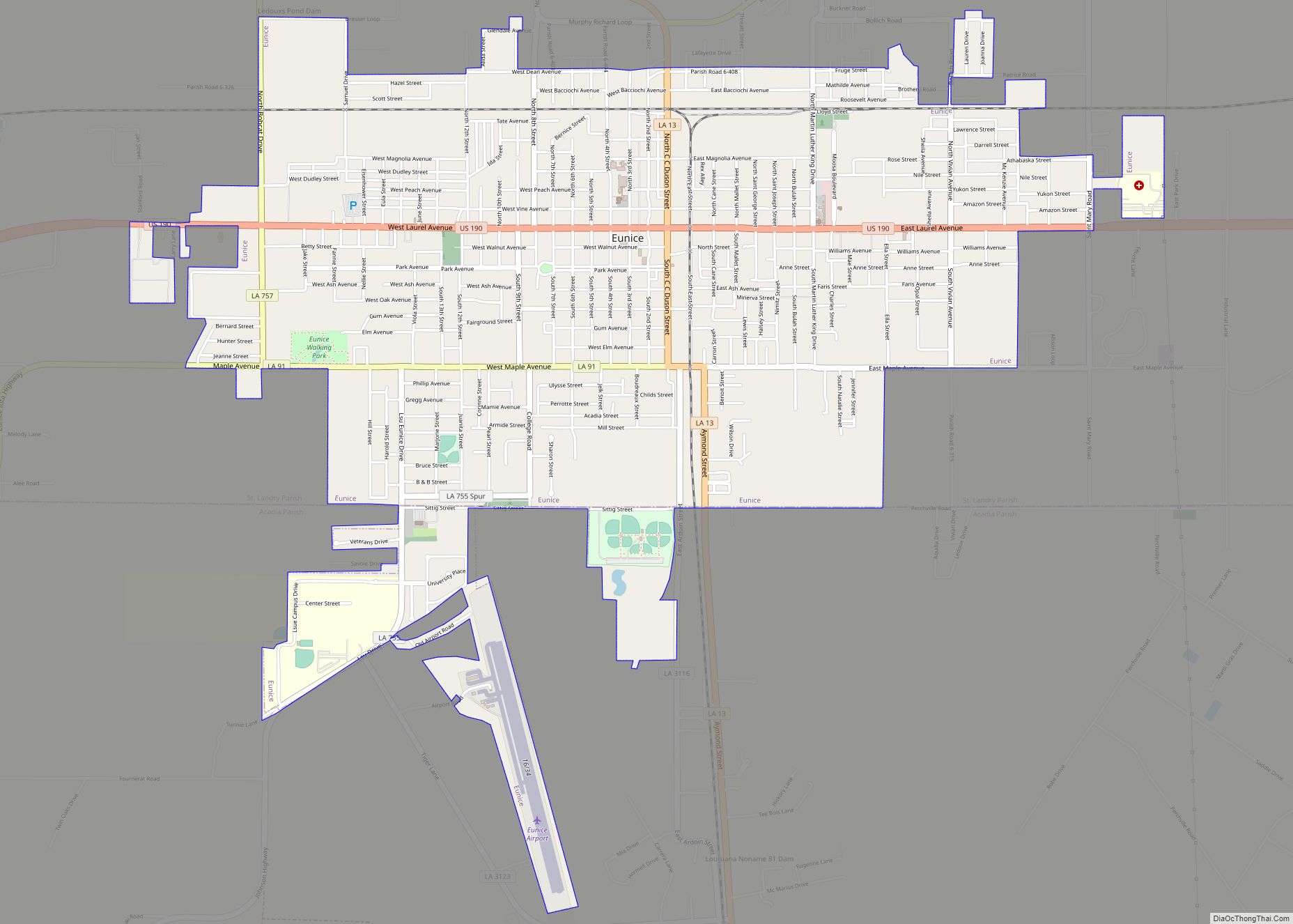
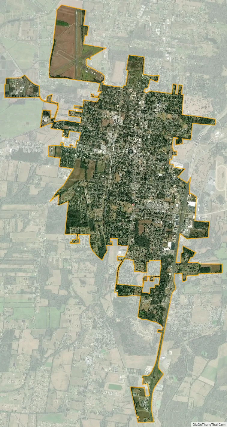
Opelousas city Satellite Map
See also
Map of Louisiana State and its subdivision:- Acadia
- Allen
- Ascension
- Assumption
- Avoyelles
- Beauregard
- Bienville
- Bossier
- Caddo
- Calcasieu
- Caldwell
- Cameron
- Catahoula
- Claiborne
- Concordia
- De Soto
- East Baton Rouge
- East Carroll
- East Feliciana
- Evangeline
- Franklin
- Grant
- Iberia
- Iberville
- Jackson
- Jefferson
- Jefferson Davis
- La Salle
- Lafayette
- Lafourche
- Lincoln
- Livingston
- Madison
- Morehouse
- Natchitoches
- Orleans
- Ouachita
- Plaquemines
- Pointe Coupee
- Rapides
- Red River
- Richland
- Sabine
- Saint Bernard
- Saint Charles
- Saint Helena
- Saint James
- Saint John the Baptist
- Saint Landry
- Saint Martin
- Saint Mary
- Saint Tammany
- Tangipahoa
- Tensas
- Terrebonne
- Union
- Vermilion
- Vernon
- Washington
- Webster
- West Baton Rouge
- West Carroll
- West Feliciana
- Winn
- Alabama
- Alaska
- Arizona
- Arkansas
- California
- Colorado
- Connecticut
- Delaware
- District of Columbia
- Florida
- Georgia
- Hawaii
- Idaho
- Illinois
- Indiana
- Iowa
- Kansas
- Kentucky
- Louisiana
- Maine
- Maryland
- Massachusetts
- Michigan
- Minnesota
- Mississippi
- Missouri
- Montana
- Nebraska
- Nevada
- New Hampshire
- New Jersey
- New Mexico
- New York
- North Carolina
- North Dakota
- Ohio
- Oklahoma
- Oregon
- Pennsylvania
- Rhode Island
- South Carolina
- South Dakota
- Tennessee
- Texas
- Utah
- Vermont
- Virginia
- Washington
- West Virginia
- Wisconsin
- Wyoming