College Station is a city in Brazos County, Texas, situated in East-Central Texas in the heart of the Brazos Valley, towards the eastern edge of the region known as the Texas Triangle. It is 83 miles (130 kilometers) northwest of Houston and 87 miles (140 km) east-northeast of Austin. As of the 2020 census, College Station had a population of 120,511. College Station and Bryan make up the Bryan-College Station metropolitan area, the 13th-largest metropolitan area in Texas with 273,101 people as of 2019.
College Station is home to the main campus of Texas A&M University, the flagship institution of the Texas A&M University System. The city owes its name and existence to the university’s location along a railroad. Texas A&M’s triple designation as a Land-, Sea-, and Space-Grant institution reflects the broad scope of the research endeavors it brings to the city, with ongoing projects funded by agencies such as NASA, the National Institutes of Health, the National Science Foundation, and the Office of Naval Research.
| Name: | College Station city |
|---|---|
| LSAD Code: | 25 |
| LSAD Description: | city (suffix) |
| State: | Texas |
| County: | Brazos County |
| Elevation: | 289 ft (88 m) |
| Land Area: | 51.16 sq mi (132.50 km²) |
| Water Area: | 0.14 sq mi (0.37 km²) |
| Population Density: | 2,304.79/sq mi (889.88/km²) |
| ZIP code: | 77840-77845 |
| Area code: | 979 |
| FIPS code: | 4815976 |
| GNISfeature ID: | 2410193 |
| Website: | www.cstx.gov |
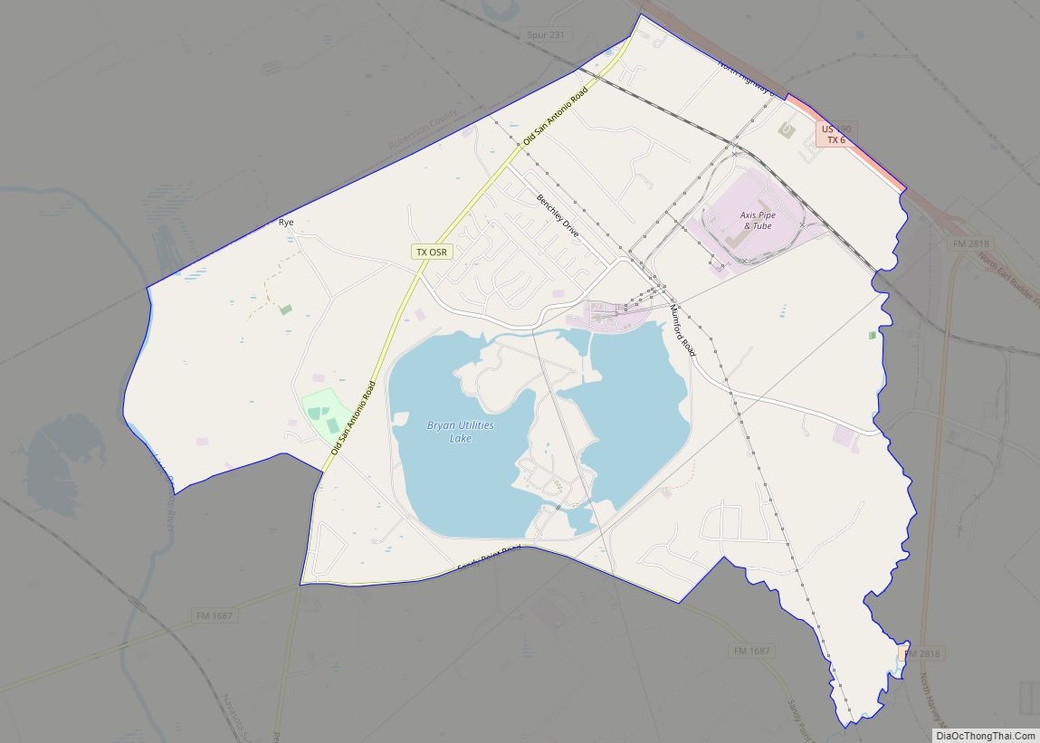
Online Interactive Map
Click on ![]() to view map in "full screen" mode.
to view map in "full screen" mode.
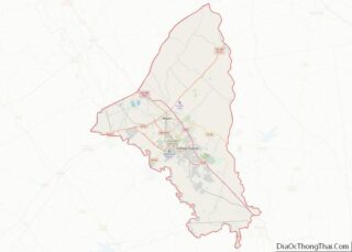
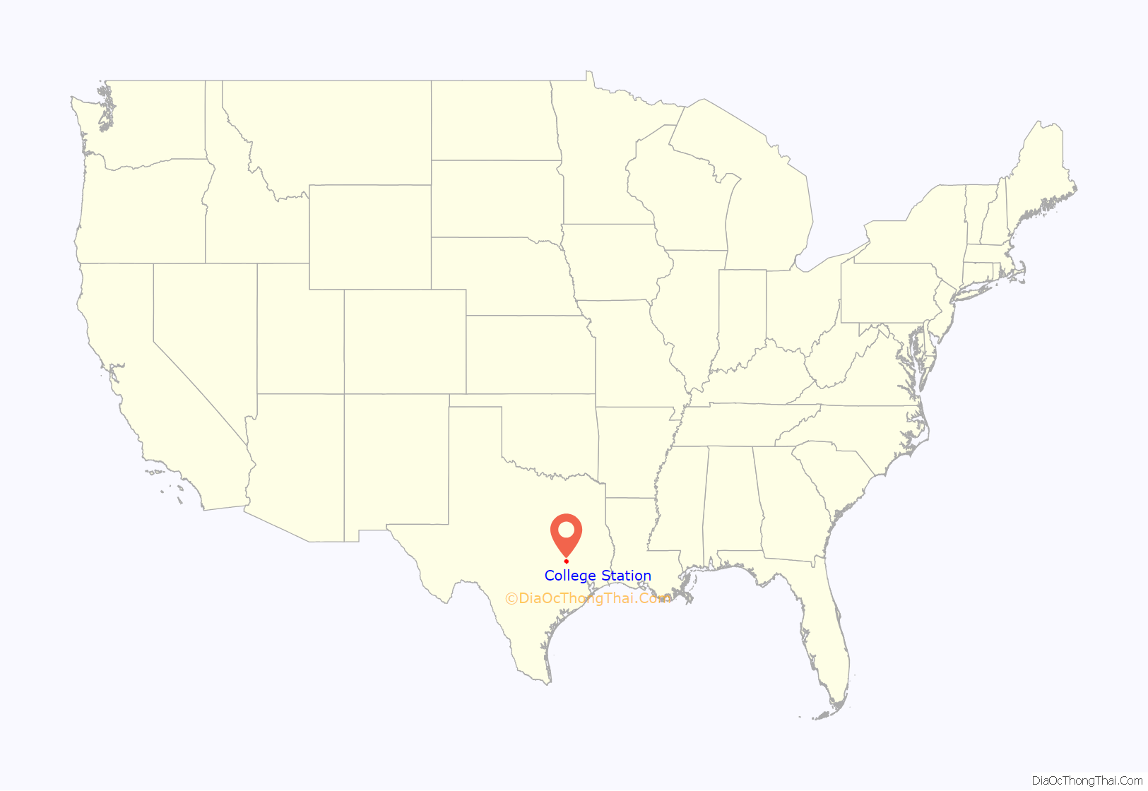
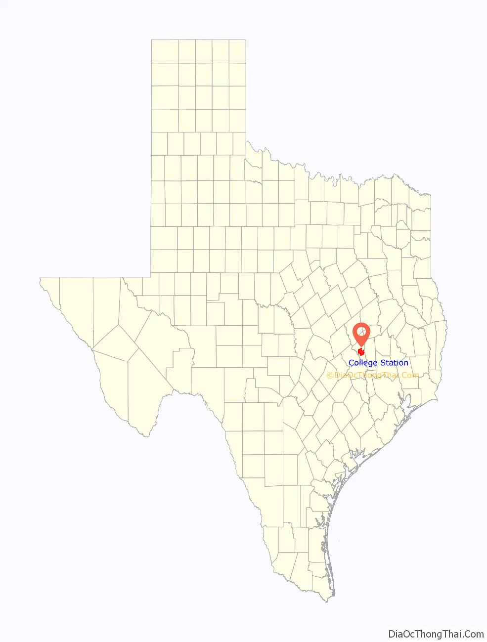
College Station location map. Where is College Station city?
History
College Station’s origins date from 1860, when the Houston and Texas Central Railway began to build through the region. Eleven years later, the site was chosen as the location for the proposed Agricultural and Mechanical College of Texas, a land-grant school. In 1876, as the nation celebrated its centennial, the school (renamed Texas A&M University in 1963) opened its doors as the first public institution of higher education in the state of Texas.
College Station’s population grew slowly, reaching 350 in 1884 and 391 at the turn of the century. However, during this time, transportation improvements took place in the town. In 1900, the I&GN Railroad was extended to College Station (the Missouri Pacific Railroad Company abandoned the line in 1965), and 10 years later, electric interurban service was established between Texas A&M and the neighboring town of Bryan. A city bus system replaced the interurban in the 1920s.
In 1930, the community to the north of College Station, known as North Oakwood, was incorporated as part of Bryan. College Station did not incorporate until 1938, with John H. Binney as the first mayor. Within a year, the city established a zoning commission, and by 1940, the population had reached 2,184.
The city grew under the leadership of Ernest Langford, called by some the “Father of College Station”, who began a 26-year stretch as mayor in 1942. Early in his first term, the city adopted a council-manager system of city government.
Population growth accelerated following World War II as the nonstudent population reached 7,898 in 1950, 11,396 in 1960, 17,676 in 1970, 30,449 in 1980, 52,456 in 1990, and 67,890 in 2000. The Bryan-College Station metropolitan area’s population crossed 270,000 people in 2018.
In the 1990s, College Station and Texas A&M University drew national attention when the George Bush Presidential Library opened in 1997. Attention was drawn again in 1999, when 12 people were killed and 27 injured when the Aggie Bonfire collapsed while being constructed.
In 2022, it became one of the first areas served by Amazon’s Prime Air drone delivery service, along with Lockeford, California.
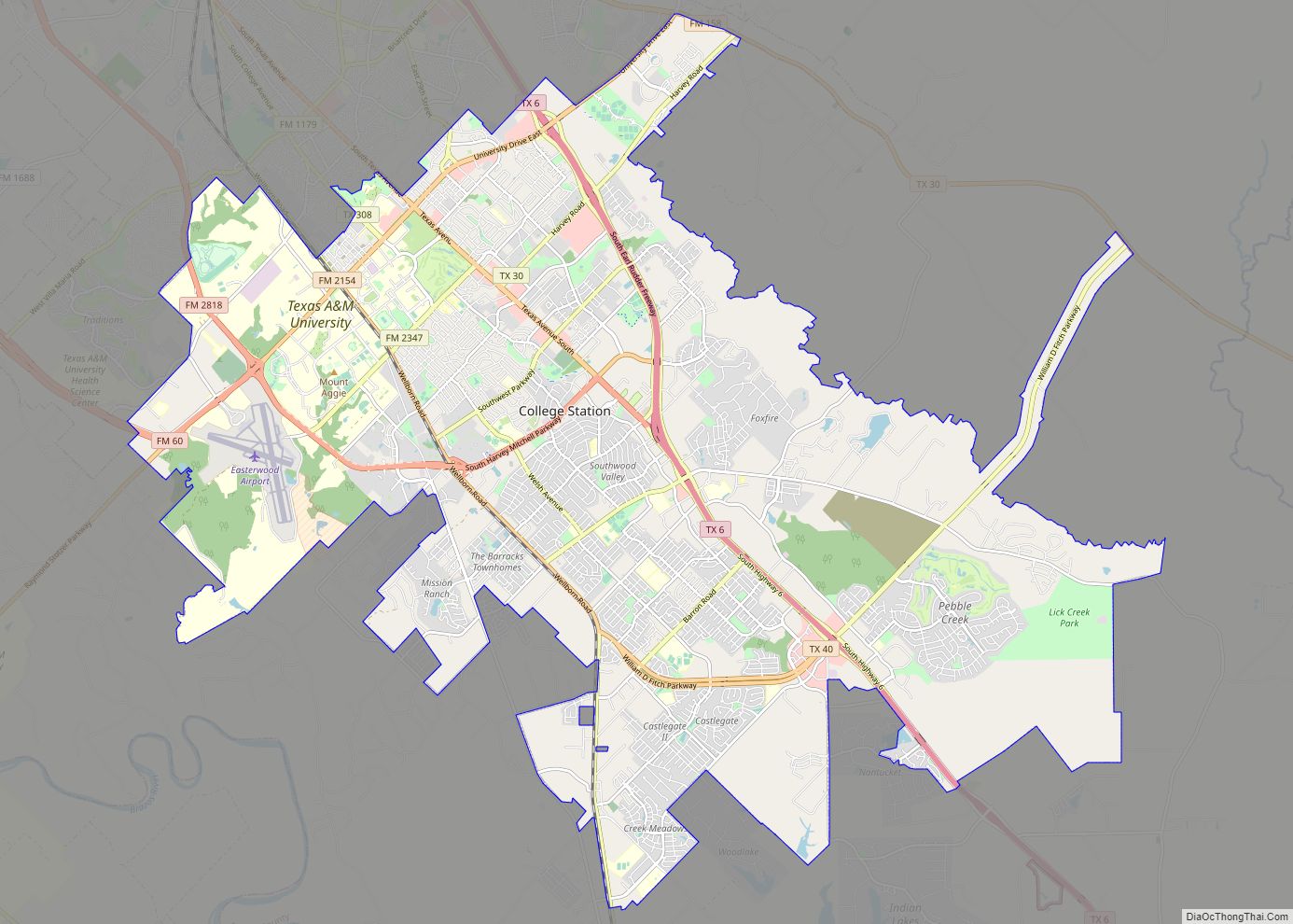
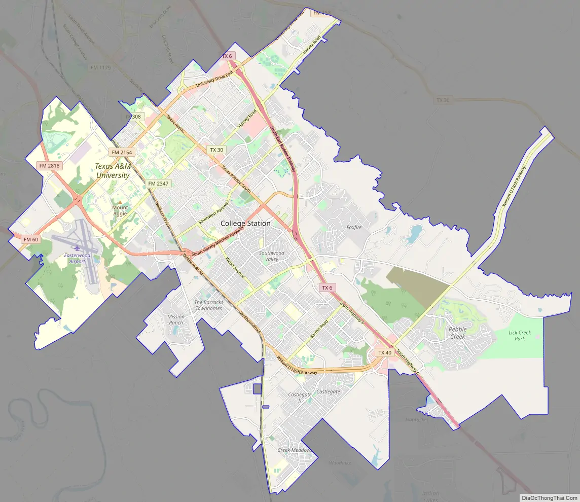
College Station Road Map
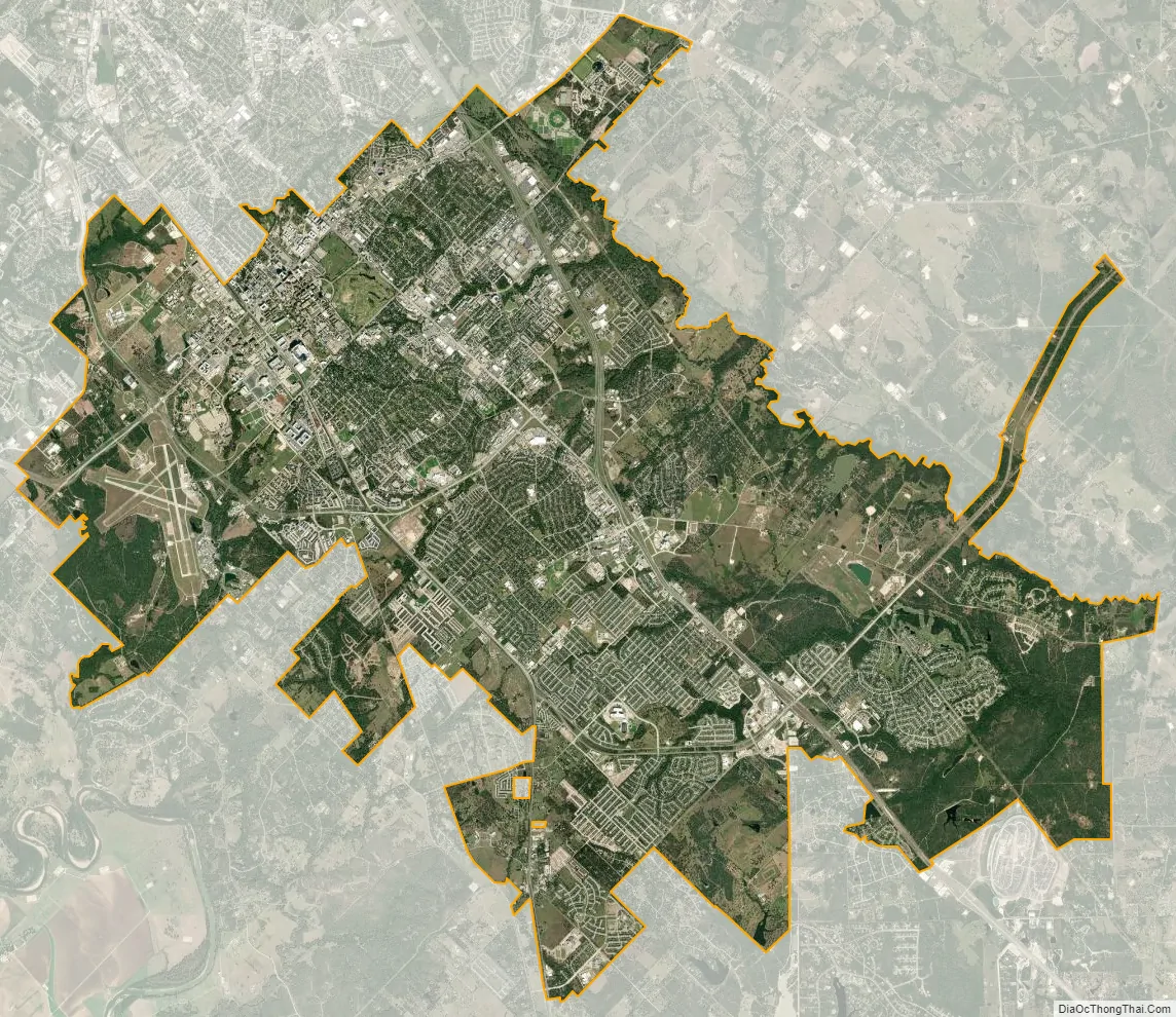
College Station city Satellite Map
Geography
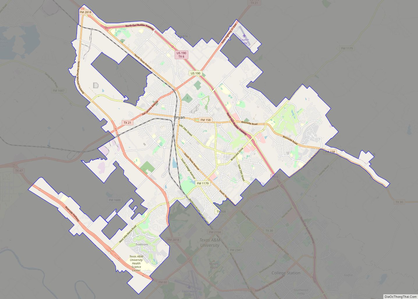
College Station is south of the center of Brazos County at 30°36′5″N 96°18′52″W / 30.60139°N 96.31444°W / 30.60139; -96.31444 (30.601433, –96.314464). It is bordered by the city of Bryan to the northwest.
According to the United States Census Bureau, the city has an area of 49.6 sq mi (128.5 km), of which 49.4 sq mi (128.0 km) is land and 0.19 sq mi (0.5 km), or 0.35%, is covered by water.
Climate
The local climate is subtropical and winters are mild with periods of low temperatures usually lasting less than two months, while summers are hot and humid.
Snow and ice are rare; most recently, College Station received 4.5 inches (11 cm) of snowfall on January 10, 2021.
Summers are hot and humid with occasional showers being the only real variation in weather.
- Average annual rainfall: 39 in (1000 mm)
- Average elevation: 367 ft (112 m) above sea level
- Average Temperature: 69.0 °F (20.6 °C)
- Agricultural Resources: Cattle, corn, cotton, eggs, hay, sorghum
- Mineral Resources: Sand, gravel, lignite, gas, oil
See also
Map of Texas State and its subdivision:- Anderson
- Andrews
- Angelina
- Aransas
- Archer
- Armstrong
- Atascosa
- Austin
- Bailey
- Bandera
- Bastrop
- Baylor
- Bee
- Bell
- Bexar
- Blanco
- Borden
- Bosque
- Bowie
- Brazoria
- Brazos
- Brewster
- Briscoe
- Brooks
- Brown
- Burleson
- Burnet
- Caldwell
- Calhoun
- Callahan
- Cameron
- Camp
- Carson
- Cass
- Castro
- Chambers
- Cherokee
- Childress
- Clay
- Cochran
- Coke
- Coleman
- Collin
- Collingsworth
- Colorado
- Comal
- Comanche
- Concho
- Cooke
- Coryell
- Cottle
- Crane
- Crockett
- Crosby
- Culberson
- Dallam
- Dallas
- Dawson
- Deaf Smith
- Delta
- Denton
- Dewitt
- Dickens
- Dimmit
- Donley
- Duval
- Eastland
- Ector
- Edwards
- El Paso
- Ellis
- Erath
- Falls
- Fannin
- Fayette
- Fisher
- Floyd
- Foard
- Fort Bend
- Franklin
- Freestone
- Frio
- Gaines
- Galveston
- Garza
- Gillespie
- Glasscock
- Goliad
- Gonzales
- Gray
- Grayson
- Gregg
- Grimes
- Guadalupe
- Hale
- Hall
- Hamilton
- Hansford
- Hardeman
- Hardin
- Harris
- Harrison
- Hartley
- Haskell
- Hays
- Hemphill
- Henderson
- Hidalgo
- Hill
- Hockley
- Hood
- Hopkins
- Houston
- Howard
- Hudspeth
- Hunt
- Hutchinson
- Irion
- Jack
- Jackson
- Jasper
- Jeff Davis
- Jefferson
- Jim Hogg
- Jim Wells
- Johnson
- Jones
- Karnes
- Kaufman
- Kendall
- Kenedy
- Kent
- Kerr
- Kimble
- King
- Kinney
- Kleberg
- Knox
- La Salle
- Lamar
- Lamb
- Lampasas
- Lavaca
- Lee
- Leon
- Liberty
- Limestone
- Lipscomb
- Live Oak
- Llano
- Loving
- Lubbock
- Lynn
- Madison
- Marion
- Martin
- Mason
- Matagorda
- Maverick
- McCulloch
- McLennan
- McMullen
- Medina
- Menard
- Midland
- Milam
- Mills
- Mitchell
- Montague
- Montgomery
- Moore
- Morris
- Motley
- Nacogdoches
- Navarro
- Newton
- Nolan
- Nueces
- Ochiltree
- Oldham
- Orange
- Palo Pinto
- Panola
- Parker
- Parmer
- Pecos
- Polk
- Potter
- Presidio
- Rains
- Randall
- Reagan
- Real
- Red River
- Reeves
- Refugio
- Roberts
- Robertson
- Rockwall
- Runnels
- Rusk
- Sabine
- San Augustine
- San Jacinto
- San Patricio
- San Saba
- Schleicher
- Scurry
- Shackelford
- Shelby
- Sherman
- Smith
- Somervell
- Starr
- Stephens
- Sterling
- Stonewall
- Sutton
- Swisher
- Tarrant
- Taylor
- Terrell
- Terry
- Throckmorton
- Titus
- Tom Green
- Travis
- Trinity
- Tyler
- Upshur
- Upton
- Uvalde
- Val Verde
- Van Zandt
- Victoria
- Walker
- Waller
- Ward
- Washington
- Webb
- Wharton
- Wheeler
- Wichita
- Wilbarger
- Willacy
- Williamson
- Wilson
- Winkler
- Wise
- Wood
- Yoakum
- Young
- Zapata
- Zavala
- Alabama
- Alaska
- Arizona
- Arkansas
- California
- Colorado
- Connecticut
- Delaware
- District of Columbia
- Florida
- Georgia
- Hawaii
- Idaho
- Illinois
- Indiana
- Iowa
- Kansas
- Kentucky
- Louisiana
- Maine
- Maryland
- Massachusetts
- Michigan
- Minnesota
- Mississippi
- Missouri
- Montana
- Nebraska
- Nevada
- New Hampshire
- New Jersey
- New Mexico
- New York
- North Carolina
- North Dakota
- Ohio
- Oklahoma
- Oregon
- Pennsylvania
- Rhode Island
- South Carolina
- South Dakota
- Tennessee
- Texas
- Utah
- Vermont
- Virginia
- Washington
- West Virginia
- Wisconsin
- Wyoming