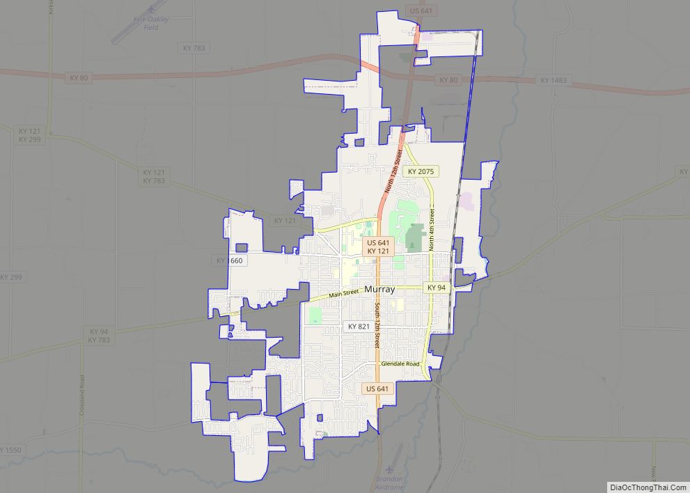
Murray is a home rule-class city in Calloway County, Kentucky, United States. It is the seat of Calloway County and the 19th-largest city in Kentucky. The city’s population was 17,741 during the 2010 U.S. census, and its micropolitan area’s population is 37,191. Murray is a college town and is the home of Murray State University.
| Name: | Murray city |
|---|---|
| LSAD Code: | 25 |
| LSAD Description: | city (suffix) |
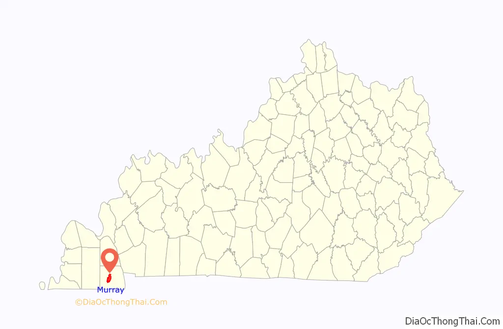
| State: | Kentucky |
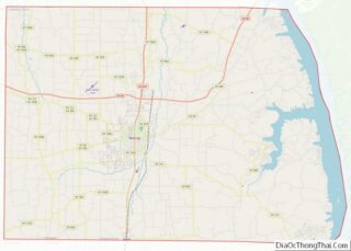
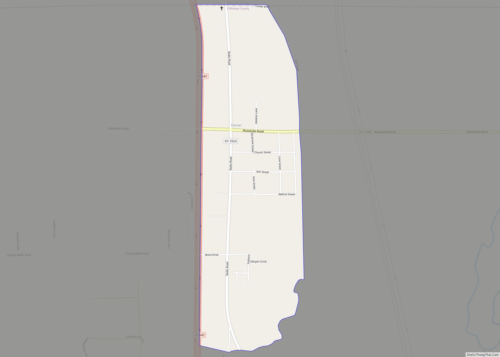
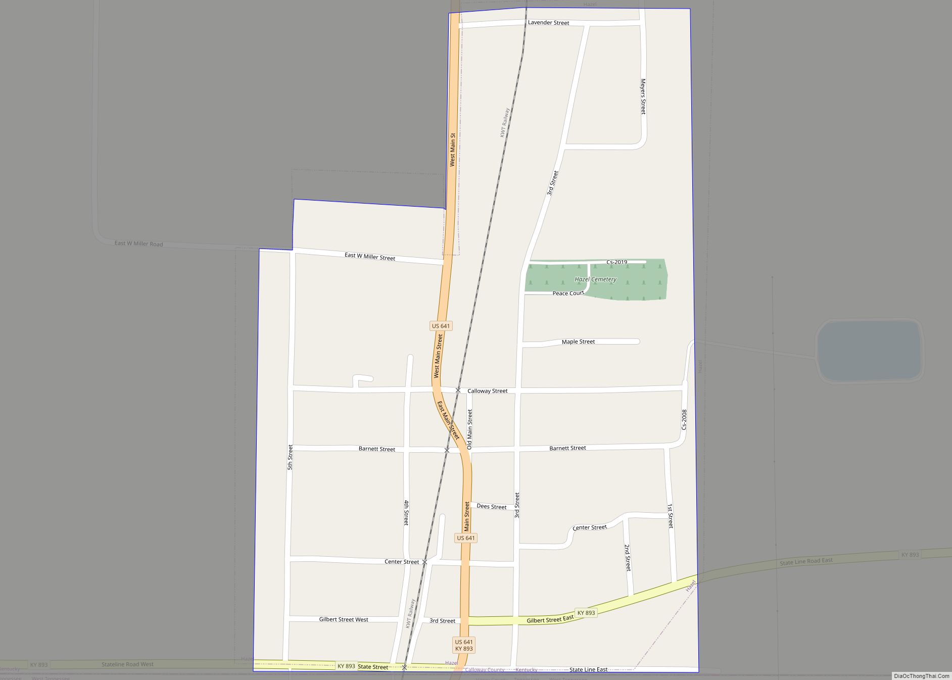
| County: | Calloway County |
| Founded: | c. 1822 |
| Incorporated: | January 17, 1844 |
| Elevation: | 535 ft (163 m) |
| Land Area: | 11.65 sq mi (30.17 km²) |
| Water Area: | 0.03 sq mi (0.07 km²) |
| Population Density: | 1,485.58/sq mi (573.57/km²) |
| ZIP code: | 42071 |
| Area code: | 270 & 364 |
| FIPS code: | 2154642 |
| GNISfeature ID: | 0499118 |
| Website: | www.murrayky.gov |
Online Interactive Map
Click on ![]() to view map in "full screen" mode.
to view map in "full screen" mode.
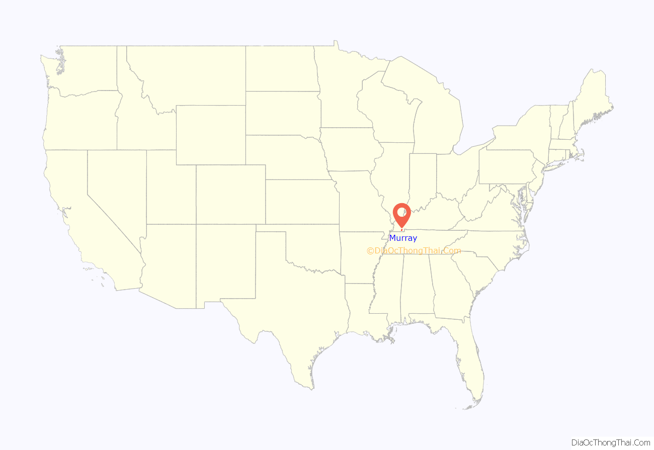
Murray location map. Where is Murray city?
History
Early history
The city now known as Murray began as a post office and trading center sometime in the early 1820s. It was at first called “Williston” in honor of James Willis, an early settler. Later, the name was changed to “Pooltown” after Robert Pool, a local merchant. The name was changed again to “Pleasant Springs” before its incorporation on January 17, 1844, when the present name was adopted to honor Rep. John Murray.
Murray was not the first county seat, which was at Wadesboro. Calloway County was then much larger than today. In 1842, however, the state legislature divided the area, creating Marshall County. It was felt that a more centrally located county seat was needed, and as the village of Murray was at the geographic center, it was chosen. A new courthouse was built along with a jail, and the town Murray was laid out on an 80-acre (320,000 m) plot subdivided into 137 business and residential lots divided by eight streets.
The Civil War era
Kentucky did not officially secede from the Union during the Civil War, instead declaring its neutrality, but both Murray and Calloway County were strongly pro-Confederate. No major battles were fought near the town, but guerrilla warfare sometimes took place nearby. In the spring of 1862, a Union force stationed in Paducah marched across the county to the Tennessee River, taking anything it wanted from the inhabitants without paying. Also, parts of Murray were burned on several occasions. Once, part of the town was burned by the Union Army in retaliation for its presumed support for the Confederate guerrillas. A diary kept by Josh Ellison of Murray tells that one night during the winter of 1864-65, a detachment of Union soldiers from Paducah torched every building on the east side of the court square, and three days later burned all those north of the square.
An estimated 800 men from the area joined in the Confederate Army, either as infantry in the Kentucky Orphan Brigade or in the cavalry. About 200 sided with the Union. Calloway County’s Confederate veterans are honored by a monument on the northeast side of the court house square. The Confederate Monument was donated by the United Daughters of the Confederacy and has been subject to calls for removal most recently in 2020. The courthouse grounds on which the statue stands belongs to Calloway County and the County Court voted unanimously in 2020 to keep the statue rather than relocate it from courthouse grounds.
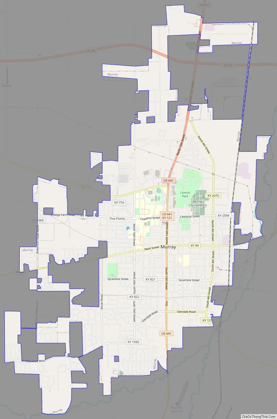
Murray Road Map
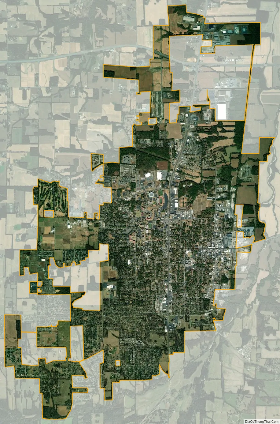
Murray city Satellite Map
See also
Map of Kentucky State and its subdivision:- Adair
- Allen
- Anderson
- Ballard
- Barren
- Bath
- Bell
- Boone
- Bourbon
- Boyd
- Boyle
- Bracken
- Breathitt
- Breckinridge
- Bullitt
- Butler
- Caldwell
- Calloway
- Campbell
- Carlisle
- Carroll
- Carter
- Casey
- Christian
- Clark
- Clay
- Clinton
- Crittenden
- Cumberland
- Daviess
- Edmonson
- Elliott
- Estill
- Fayette
- Fleming
- Floyd
- Franklin
- Fulton
- Gallatin
- Garrard
- Grant
- Graves
- Grayson
- Green
- Greenup
- Hancock
- Hardin
- Harlan
- Harrison
- Hart
- Henderson
- Henry
- Hickman
- Hopkins
- Jackson
- Jefferson
- Jessamine
- Johnson
- Kenton
- Knott
- Knox
- Larue
- Laurel
- Lawrence
- Lee
- Leslie
- Letcher
- Lewis
- Lincoln
- Livingston
- Logan
- Lyon
- Madison
- Magoffin
- Marion
- Marshall
- Martin
- Mason
- McCracken
- McCreary
- McLean
- Meade
- Menifee
- Mercer
- Metcalfe
- Monroe
- Montgomery
- Morgan
- Muhlenberg
- Nelson
- Nicholas
- Ohio
- Oldham
- Owen
- Owsley
- Pendleton
- Perry
- Pike
- Powell
- Pulaski
- Robertson
- Rockcastle
- Rowan
- Russell
- Scott
- Shelby
- Simpson
- Spencer
- Taylor
- Todd
- Trigg
- Trimble
- Union
- Warren
- Washington
- Wayne
- Webster
- Whitley
- Wolfe
- Woodford
- Alabama
- Alaska
- Arizona
- Arkansas
- California
- Colorado
- Connecticut
- Delaware
- District of Columbia
- Florida
- Georgia
- Hawaii
- Idaho
- Illinois
- Indiana
- Iowa
- Kansas
- Kentucky
- Louisiana
- Maine
- Maryland
- Massachusetts
- Michigan
- Minnesota
- Mississippi
- Missouri
- Montana
- Nebraska
- Nevada
- New Hampshire
- New Jersey
- New Mexico
- New York
- North Carolina
- North Dakota
- Ohio
- Oklahoma
- Oregon
- Pennsylvania
- Rhode Island
- South Carolina
- South Dakota
- Tennessee
- Texas
- Utah
- Vermont
- Virginia
- Washington
- West Virginia
- Wisconsin
- Wyoming