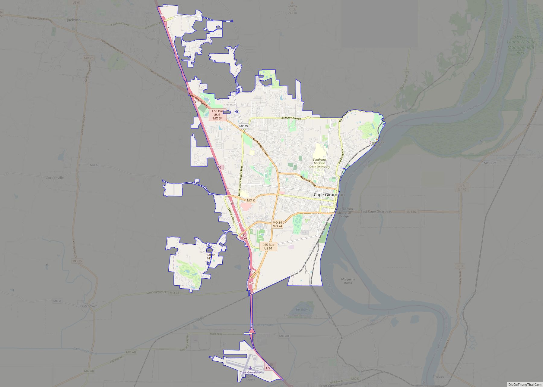
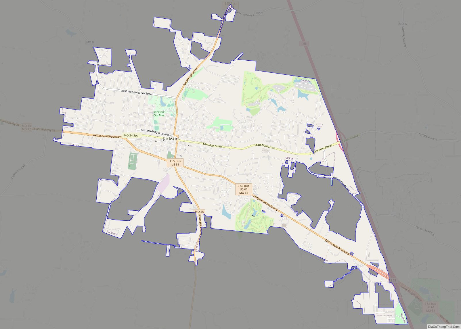
Jackson is a city in and the county seat of Cape Girardeau County, Missouri, United States. It is a principal city of the Cape Girardeau–Jackson, MO-IL Metropolitan Statistical Area. The population of Jackson was 15,481 at the 2020 census.
| Name: | Jackson city |
|---|---|
| LSAD Code: | 25 |
| LSAD Description: | city (suffix) |
| State: | Missouri |
| County: | Cape Girardeau County |
| Elevation: | 466 ft (142 m) |
| Total Area: | 10.76 sq mi (27.87 km²) |
| Land Area: | 10.75 sq mi (27.83 km²) |
| Water Area: | 0.01 sq mi (0.04 km²) |
| Total Population: | 15,481 |
| Population Density: | 1,440.63/sq mi (556.24/km²) |
| ZIP code: | 63755 |
| Area code: | 573 |
| FIPS code: | 2935648 |
| GNISfeature ID: | 0720202 |
Online Interactive Map
Click on ![]() to view map in "full screen" mode.
to view map in "full screen" mode.
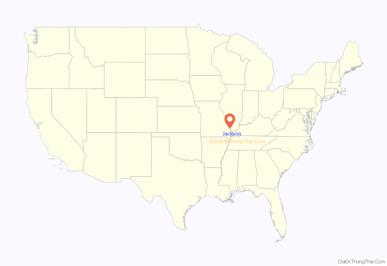
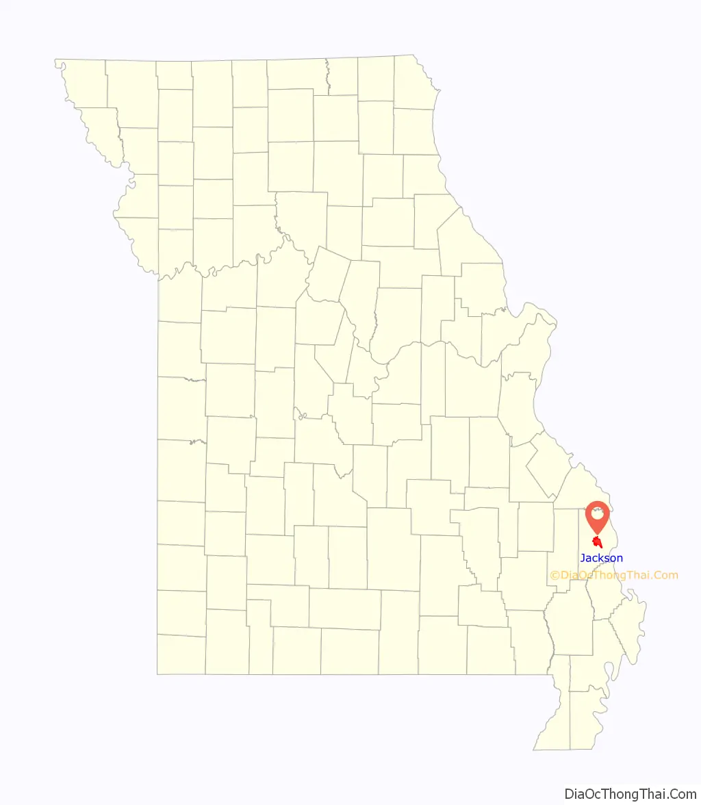
Jackson location map. Where is Jackson city?
History
In 1813, Cape Girardeau County succeeded Cape Girardeau District, and the Court of Common Pleas and the Court of General Quarter-Sessions of the Peace in Cape Girardeau were superseded by the Court of Common Pleas, leading to a new seat of justice. The seat of the county and the courts were at first held on the plantation of Thomas Bull about one and one-half mile south of present-day Jackson. Land was then purchased along Hubble Creek for the county seat in 1814.
The first post office was established in 1814 when the area was called Birdstown. The name was changed to Jackson on August 31, 1819, named for Andrew Jackson, a general popular for his role in the War of 1812. It was the first town to be named after Andrew Jackson. The town was platted in 1815. The Missouri Herald, the third newspaper in state, was established here on June 25, 1819. In 1818, the town already had a population of 300. The first county courthouse was built in 1818 on Jackson’s public square.
Although its initial growth was rapid, the economy of the City of Jackson developed conservatively. The town suffered a setback in June, 1833, when Cholera spread killing 128. Cholera struck again on June 10, 1852, causing all abled bodies to flee the town until the epidemic had run its course. In 1841, a bank was established. A flour mill was constructed in 1855 and another in 1873. But the community could not escape the impact of the American Civil War; on June 24, 1861, a military skirmish took place near Jackson between units of the Union Army and the Confederate Army.
In 1877, Jackson was linked to Cape Girardeau by the first long-distance railway service line in Missouri. By 1884, the population of the City of Jackson had grown to 2,105, and the town supported 50 businesses. In 1884, by popular vote, it was decided to incorporate Jackson as a city of the fourth class. The courthouse built in 1818 burned down in 1870. The current courthouse was built in 1908 and is “on the square” in the center of Uptown Jackson where Jones Drug Store still runs and serves the community since 1871.
The Big Hill Farmstead Historic District, Abraham Byrd House, Frizel-Welling House, Jackson Uptown Commercial Historic District, and McKendree Chapel are listed on the National Register of Historic Places.
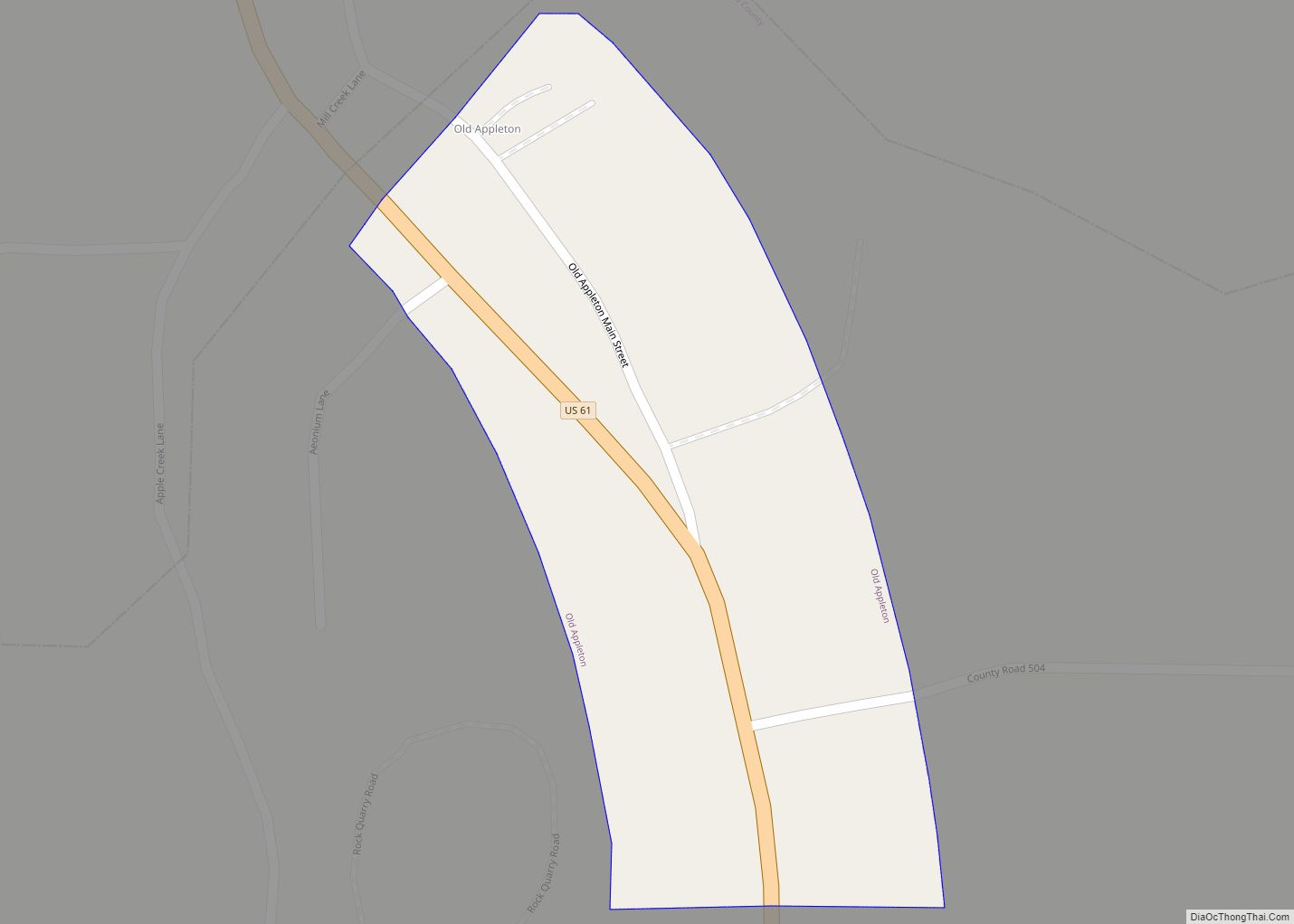
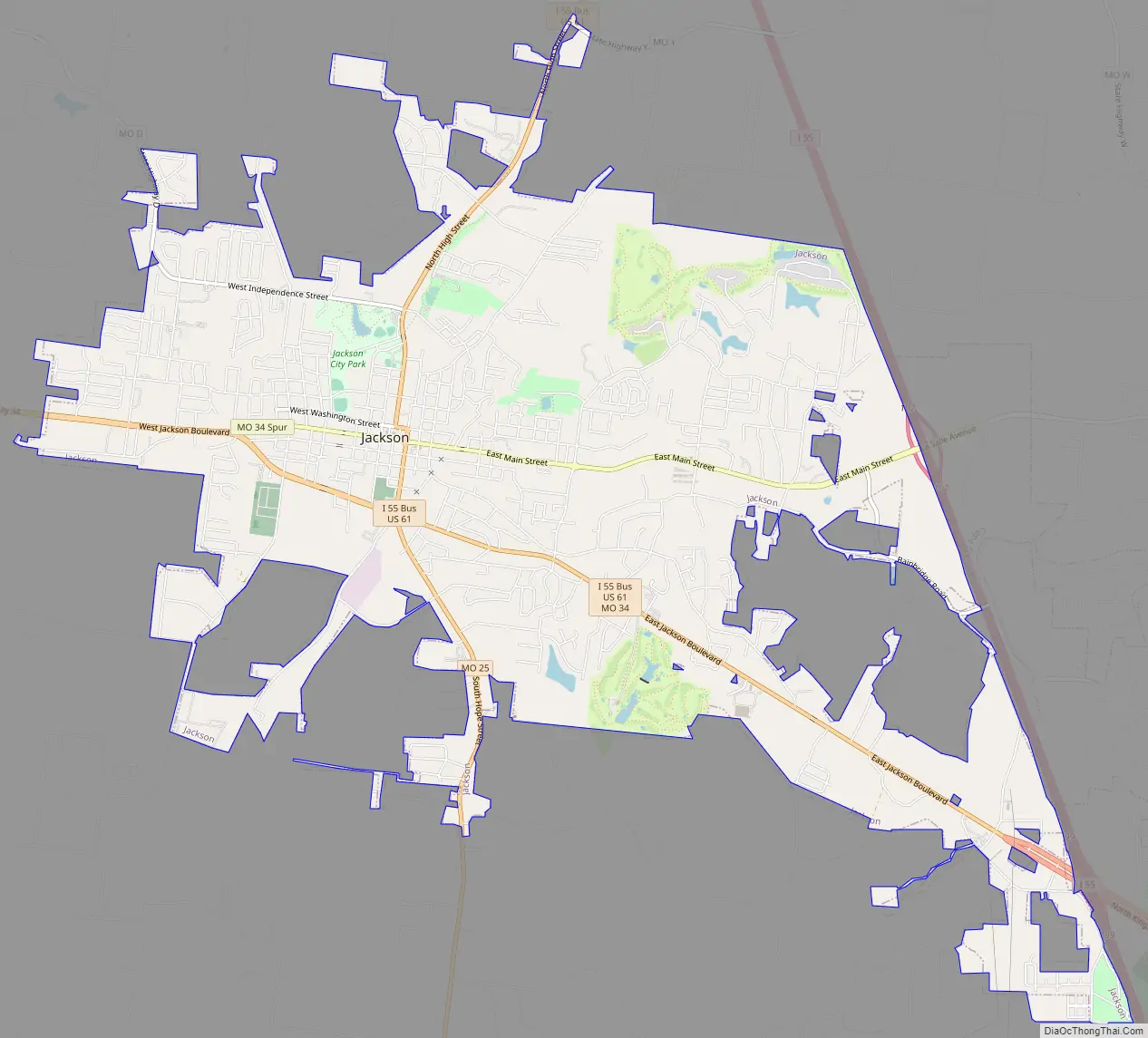
Jackson Road Map
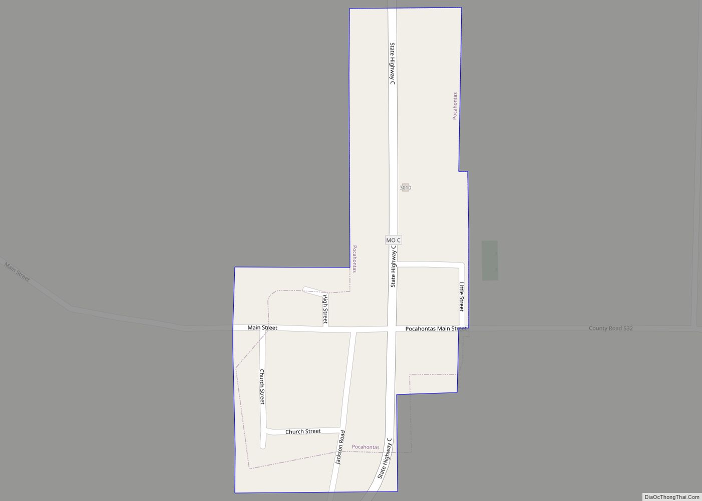
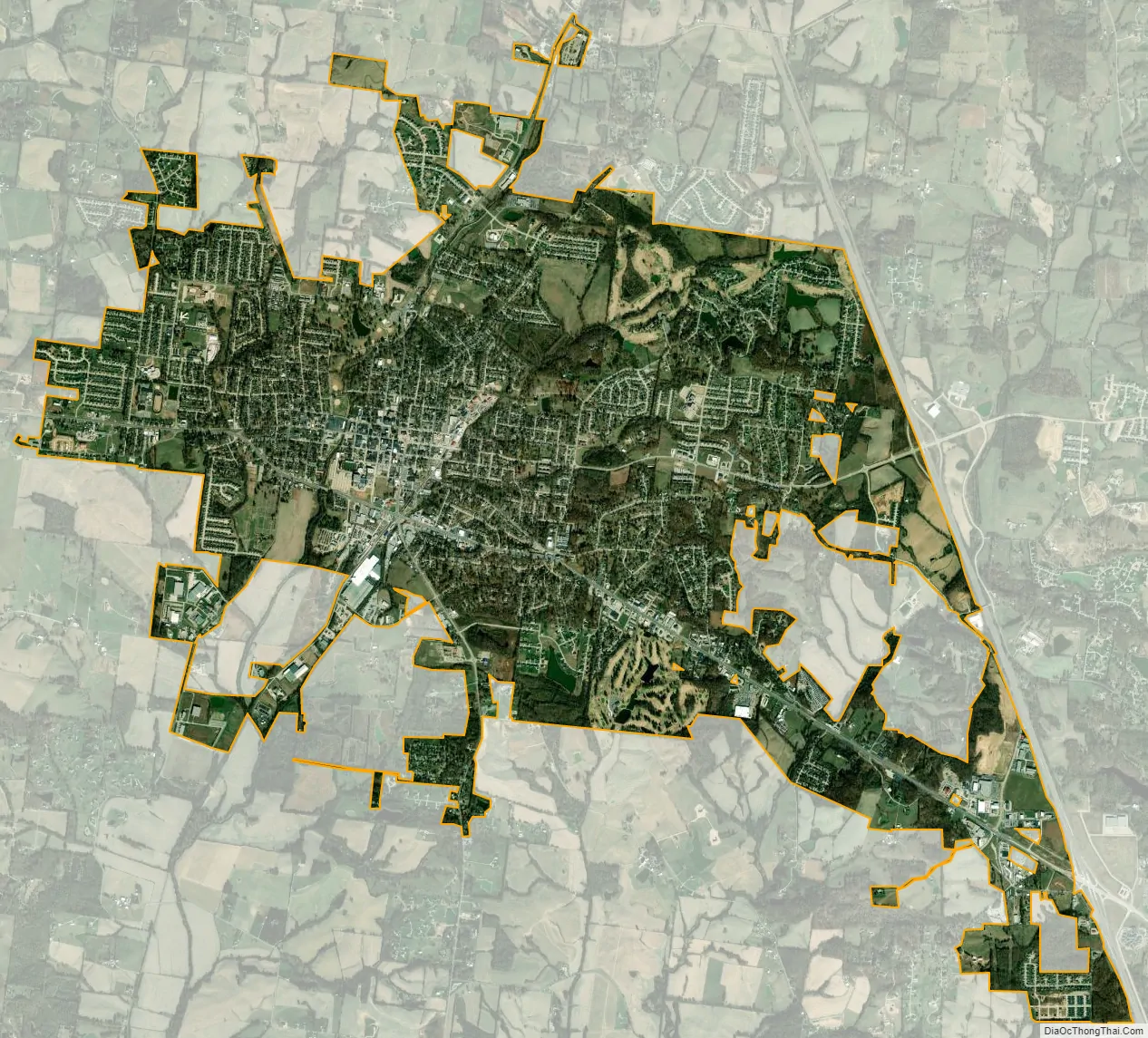
Jackson city Satellite Map
Geography
Jackson is located on US Route 61 approximately seven miles northwest of Cape Girardeau. Hubble Creek and its tributary Goose Creek flow through the city.
According to the United States Census Bureau, the city has a total area of 10.96 square miles (28.39 km), of which 10.94 square miles (28.33 km) is land and 0.02 square miles (0.05 km) is water.
Climate
See also
Map of Missouri State and its subdivision:- Adair
- Andrew
- Atchison
- Audrain
- Barry
- Barton
- Bates
- Benton
- Bollinger
- Boone
- Buchanan
- Butler
- Caldwell
- Callaway
- Camden
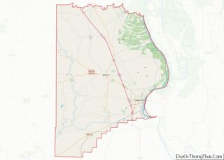
- Cape Girardeau
- Carroll
- Carter
- Cass
- Cedar
- Chariton
- Christian
- Clark
- Clay
- Clinton
- Cole
- Cooper
- Crawford
- Dade
- Dallas
- Daviess
- De Kalb
- Dent
- Douglas
- Dunklin
- Franklin
- Gasconade
- Gentry
- Greene
- Grundy
- Harrison
- Henry
- Hickory
- Holt
- Howard
- Howell
- Iron
- Jackson
- Jasper
- Jefferson
- Johnson
- Knox
- Laclede
- Lafayette
- Lawrence
- Lewis
- Lincoln
- Linn
- Livingston
- Macon
- Madison
- Maries
- Marion
- McDonald
- Mercer
- Miller
- Mississippi
- Moniteau
- Monroe
- Montgomery
- Morgan
- New Madrid
- Newton
- Nodaway
- Oregon
- Osage
- Ozark
- Pemiscot
- Perry
- Pettis
- Phelps
- Pike
- Platte
- Polk
- Pulaski
- Putnam
- Ralls
- Randolph
- Ray
- Reynolds
- Ripley
- Saint Charles
- Saint Clair
- Saint Francois
- Saint Louis
- Sainte Genevieve
- Saline
- Schuyler
- Scotland
- Scott
- Shannon
- Shelby
- Stoddard
- Stone
- Sullivan
- Taney
- Texas
- Vernon
- Warren
- Washington
- Wayne
- Webster
- Worth
- Wright
- Alabama
- Alaska
- Arizona
- Arkansas
- California
- Colorado
- Connecticut
- Delaware
- District of Columbia
- Florida
- Georgia
- Hawaii
- Idaho
- Illinois
- Indiana
- Iowa
- Kansas
- Kentucky
- Louisiana
- Maine
- Maryland
- Massachusetts
- Michigan
- Minnesota
- Mississippi
- Missouri
- Montana
- Nebraska
- Nevada
- New Hampshire
- New Jersey
- New Mexico
- New York
- North Carolina
- North Dakota
- Ohio
- Oklahoma
- Oregon
- Pennsylvania
- Rhode Island
- South Carolina
- South Dakota
- Tennessee
- Texas
- Utah
- Vermont
- Virginia
- Washington
- West Virginia
- Wisconsin
- Wyoming