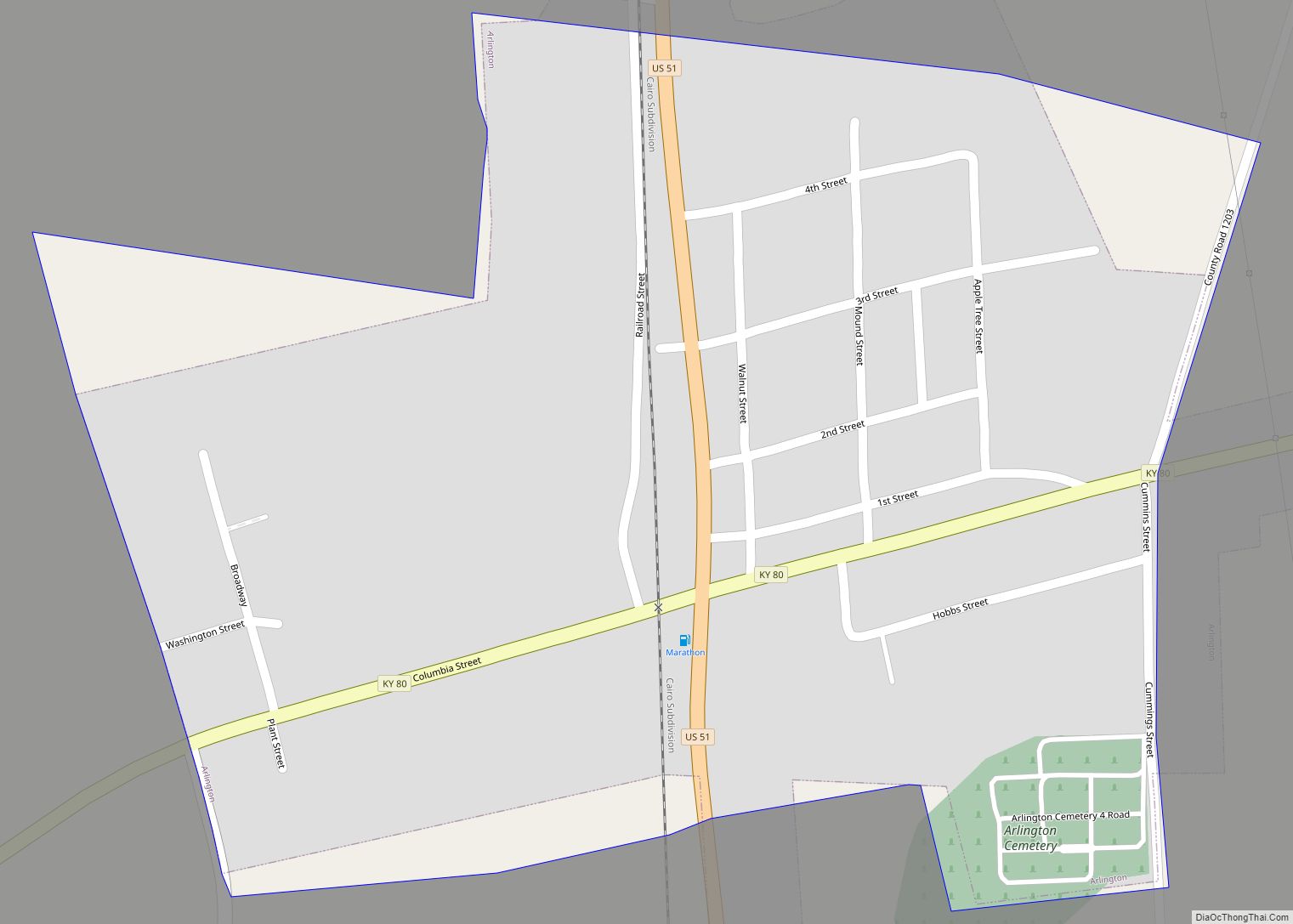
Arlington is a home rule-class city in Carlisle County, Kentucky, in the United States. The population was 324 at the 2010 census, a drop from 395 in 2000. It was formally incorporated by the state assembly in 1876.
| Name: | Arlington city |
|---|---|
| LSAD Code: | 25 |
| LSAD Description: | city (suffix) |
| State: | Kentucky |
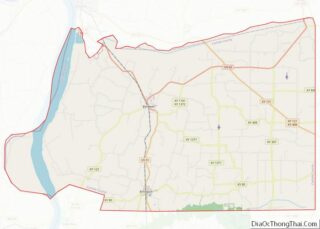
| County: | Carlisle County |
| Elevation: | 351 ft (107 m) |
| Total Area: | 0.38 sq mi (0.97 km²) |
| Land Area: | 0.38 sq mi (0.97 km²) |
| Water Area: | 0.00 sq mi (0.00 km²) |
| Total Population: | 264 |
| Population Density: | 702.13/sq mi (270.93/km²) |
| ZIP code: | 42021 |
| FIPS code: | 2102044 |
| GNISfeature ID: | 0486029 |
Online Interactive Map
Click on ![]() to view map in "full screen" mode.
to view map in "full screen" mode.
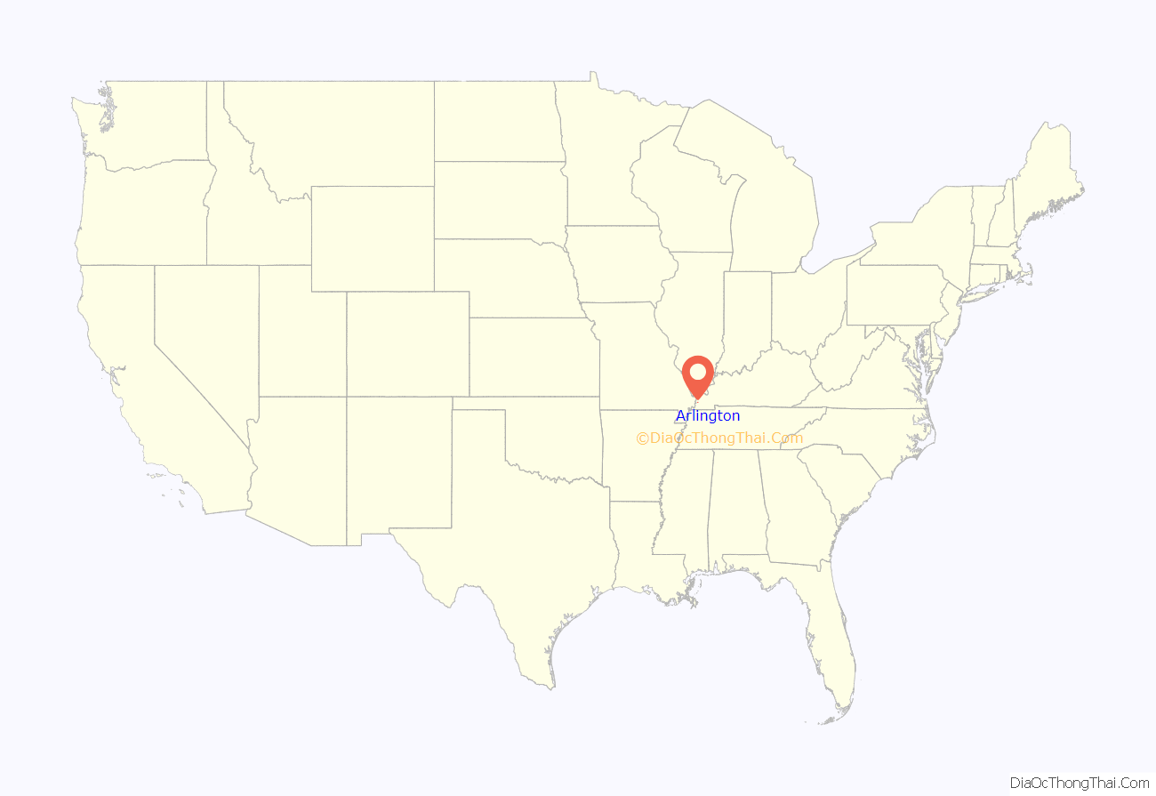
Arlington location map. Where is Arlington city?

History
Arlington was founded in 1873 as a stop along a predecessor line of the Illinois Central Railroad. The new city was initially known as “Neville” after Robert Buckner Neville, who owned the land on which it was established. Several developers wanted to rename the city “Holtsville” after local store owner Tom Holt. To prevent a dispute, the railroad settled on the name “Arlington” after Arlington Heights, Virginia, the hometown of a railroad official. The new city was incorporated in 1876.
When Carlisle County was created in 1886, Arlington was initially selected as the seat of the new county. The nearby city of Bardwell challenged this, however, noting its more central location within the county. County officials agreed, and moved the seat to Bardwell shortly afterward.
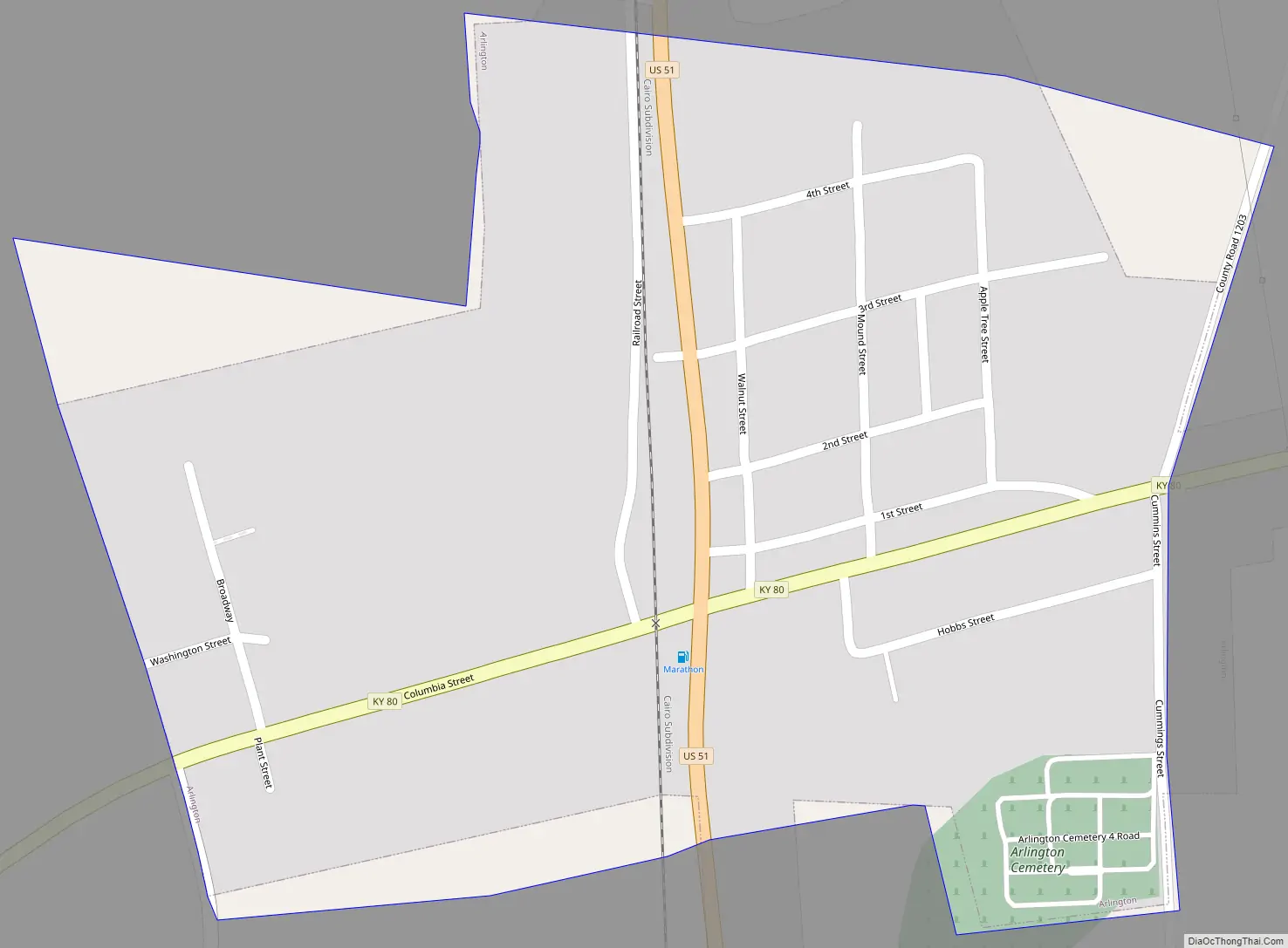
Arlington Road Map
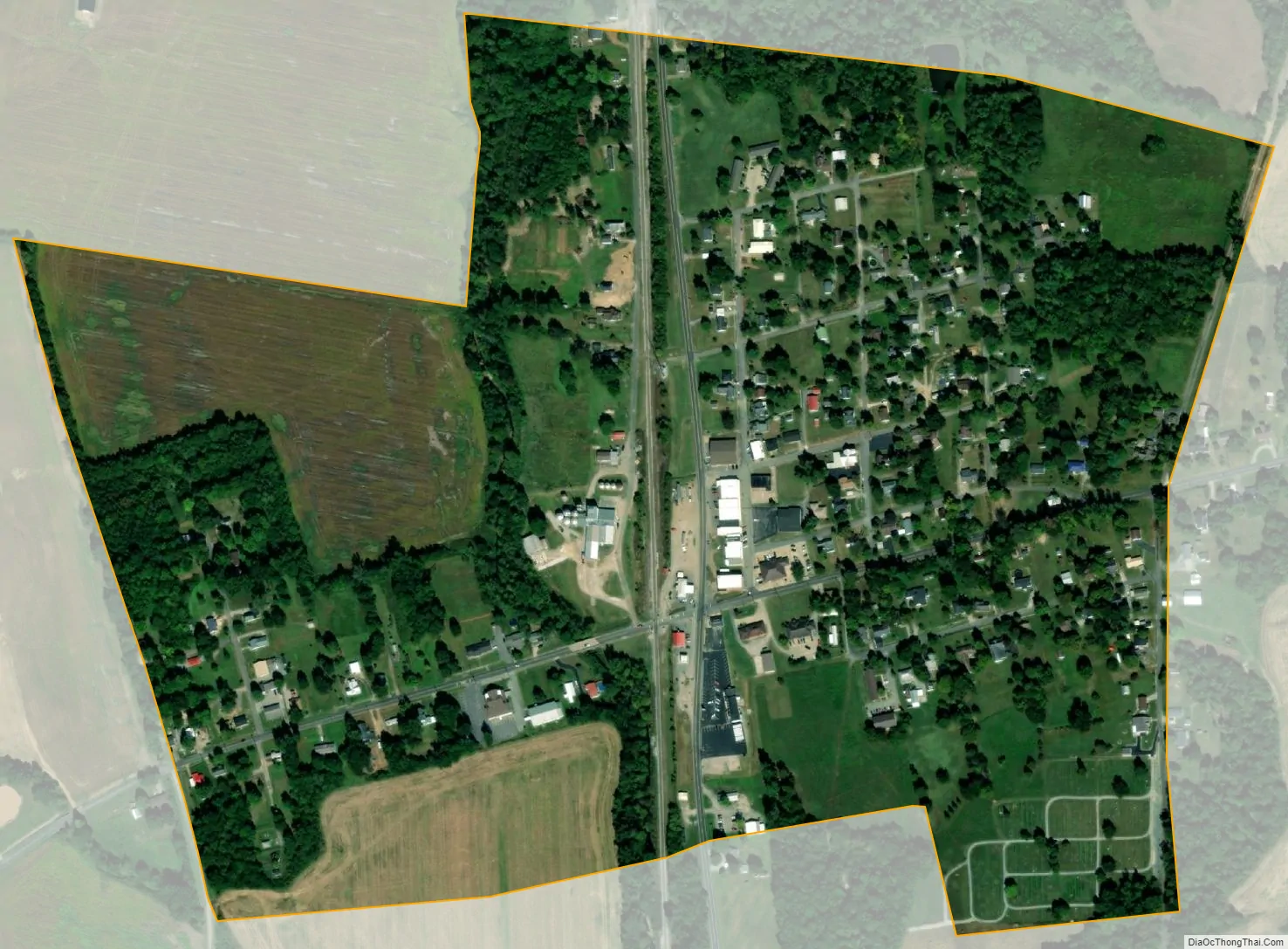
Arlington city Satellite Map
Geography
Arlington is located in southern Carlisle County at 36°47′29″N 89°00′41″W / 36.791299°N 89.011398°W / 36.791299; -89.011398. U.S. Route 51 and Kentucky Route 80 intersect in the city. US 51 leads north 6 miles (10 km) to Bardwell, Kentucky, and 21 miles (34 km) to Cairo, Illinois, while leading south 23 miles (37 km) to Fulton on the Tennessee line. KY 80 leads west 6 miles (10 km) to Columbus on the Mississippi River and east 23 miles (37 km) to Mayfield.
According to the United States Census Bureau, Arlington has a total area of 0.4 square miles (1.0 km), all of it land.
See also
Map of Kentucky State and its subdivision:- Adair
- Allen
- Anderson
- Ballard
- Barren
- Bath
- Bell
- Boone
- Bourbon
- Boyd
- Boyle
- Bracken
- Breathitt
- Breckinridge
- Bullitt
- Butler
- Caldwell
- Calloway
- Campbell
- Carlisle
- Carroll
- Carter
- Casey
- Christian
- Clark
- Clay
- Clinton
- Crittenden
- Cumberland
- Daviess
- Edmonson
- Elliott
- Estill
- Fayette
- Fleming
- Floyd
- Franklin
- Fulton
- Gallatin
- Garrard
- Grant
- Graves
- Grayson
- Green
- Greenup
- Hancock
- Hardin
- Harlan
- Harrison
- Hart
- Henderson
- Henry
- Hickman
- Hopkins
- Jackson
- Jefferson
- Jessamine
- Johnson
- Kenton
- Knott
- Knox
- Larue
- Laurel
- Lawrence
- Lee
- Leslie
- Letcher
- Lewis
- Lincoln
- Livingston
- Logan
- Lyon
- Madison
- Magoffin
- Marion
- Marshall
- Martin
- Mason
- McCracken
- McCreary
- McLean
- Meade
- Menifee
- Mercer
- Metcalfe
- Monroe
- Montgomery
- Morgan
- Muhlenberg
- Nelson
- Nicholas
- Ohio
- Oldham
- Owen
- Owsley
- Pendleton
- Perry
- Pike
- Powell
- Pulaski
- Robertson
- Rockcastle
- Rowan
- Russell
- Scott
- Shelby
- Simpson
- Spencer
- Taylor
- Todd
- Trigg
- Trimble
- Union
- Warren
- Washington
- Wayne
- Webster
- Whitley
- Wolfe
- Woodford
- Alabama
- Alaska
- Arizona
- Arkansas
- California
- Colorado
- Connecticut
- Delaware
- District of Columbia
- Florida
- Georgia
- Hawaii
- Idaho
- Illinois
- Indiana
- Iowa
- Kansas
- Kentucky
- Louisiana
- Maine
- Maryland
- Massachusetts
- Michigan
- Minnesota
- Mississippi
- Missouri
- Montana
- Nebraska
- Nevada
- New Hampshire
- New Jersey
- New Mexico
- New York
- North Carolina
- North Dakota
- Ohio
- Oklahoma
- Oregon
- Pennsylvania
- Rhode Island
- South Carolina
- South Dakota
- Tennessee
- Texas
- Utah
- Vermont
- Virginia
- Washington
- West Virginia
- Wisconsin
- Wyoming