| Name: | Cascade County |
|---|---|
| FIPS code: | 30-013 |
| State: | Montana |
| Founded: | 1887 |
| Named for: | Great Falls of the Missouri River |
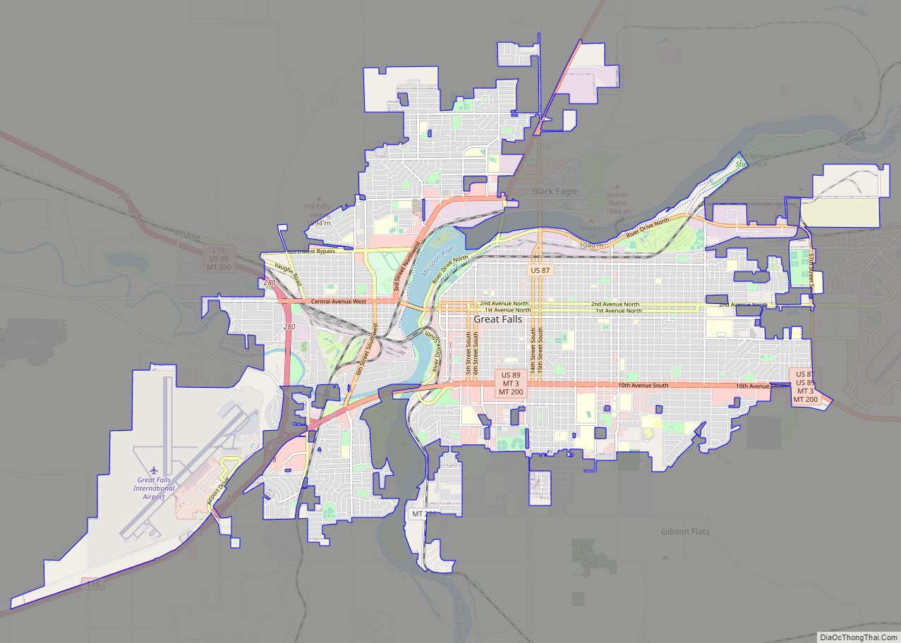
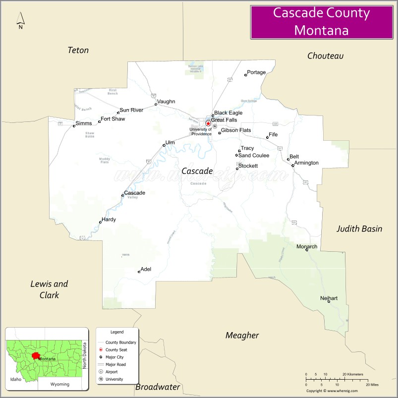
| Seat: | Great Falls |
| Largest city: | Great Falls |
| Total Area: | 2,711 sq mi (7,020 km²) |
| Land Area: | 2,698 sq mi (6,990 km²) |
| Total Population: | 84,414 |
| Population Density: | 31/sq mi (12/km²) |
| Time zone: | UTC−7 (Mountain) |
| Summer Time Zone (DST): | UTC−6 (MDT) |
| Website: | www.cascadecountymt.gov/index.php |
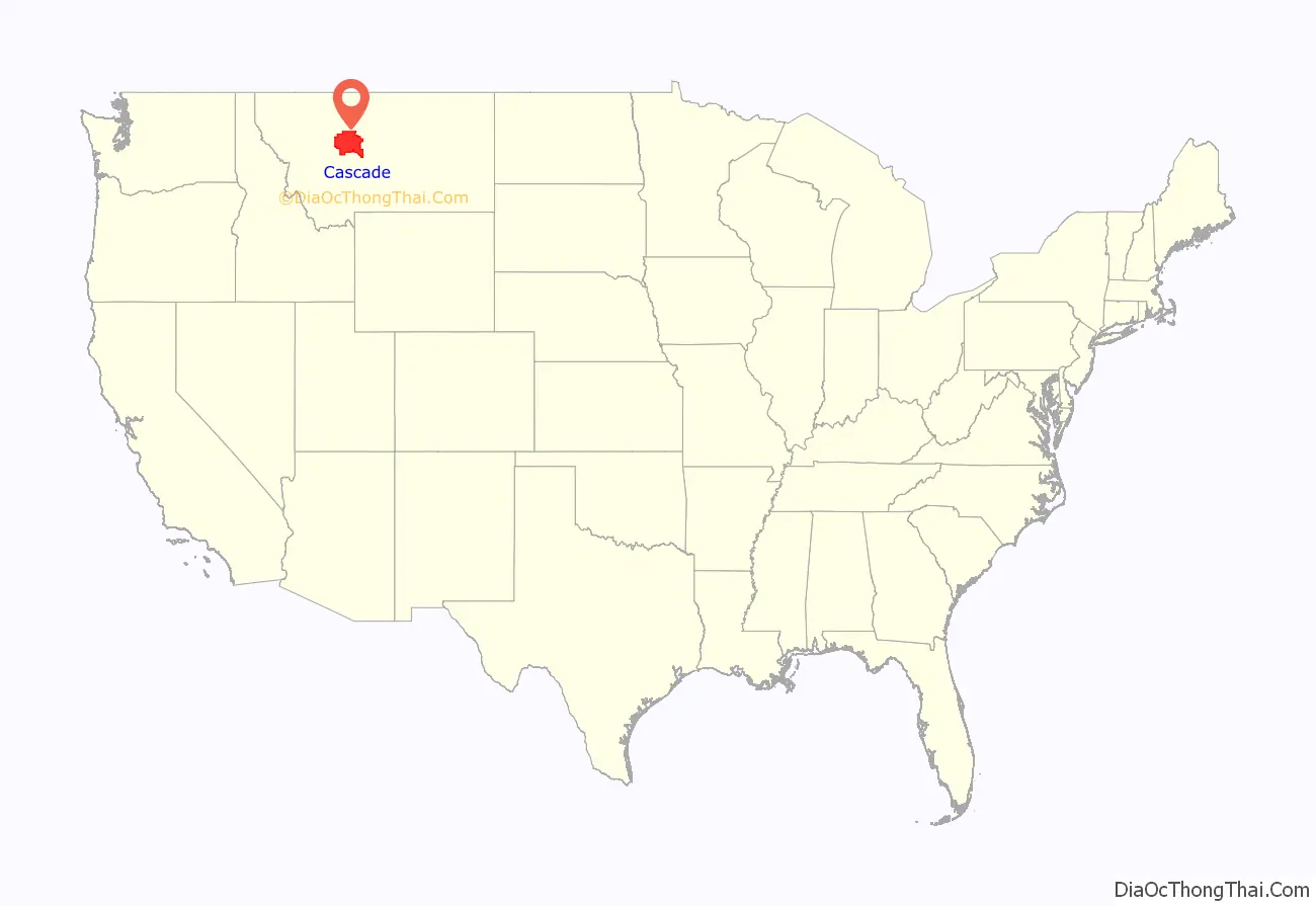
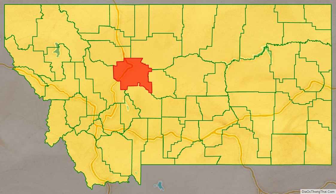
Cascade County location map. Where is Cascade County?
History
At the time of the Lewis and Clark Expedition, Cascade County was the territory of the Blackfeet. The county was named for the falls on the Missouri River.
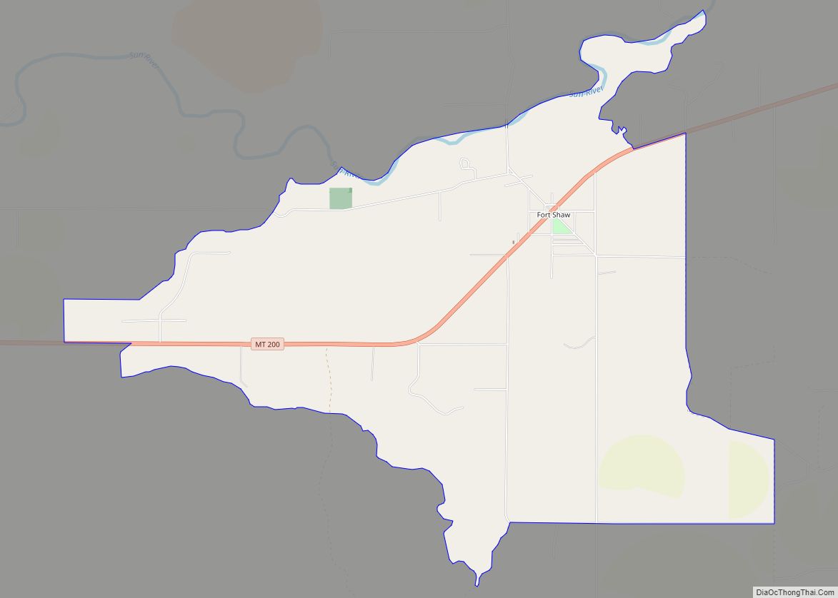
The United States Army at one time had Fort Shaw as an outpost in the northwest part of the county. Only a small settlement is left by that name, a CDP.
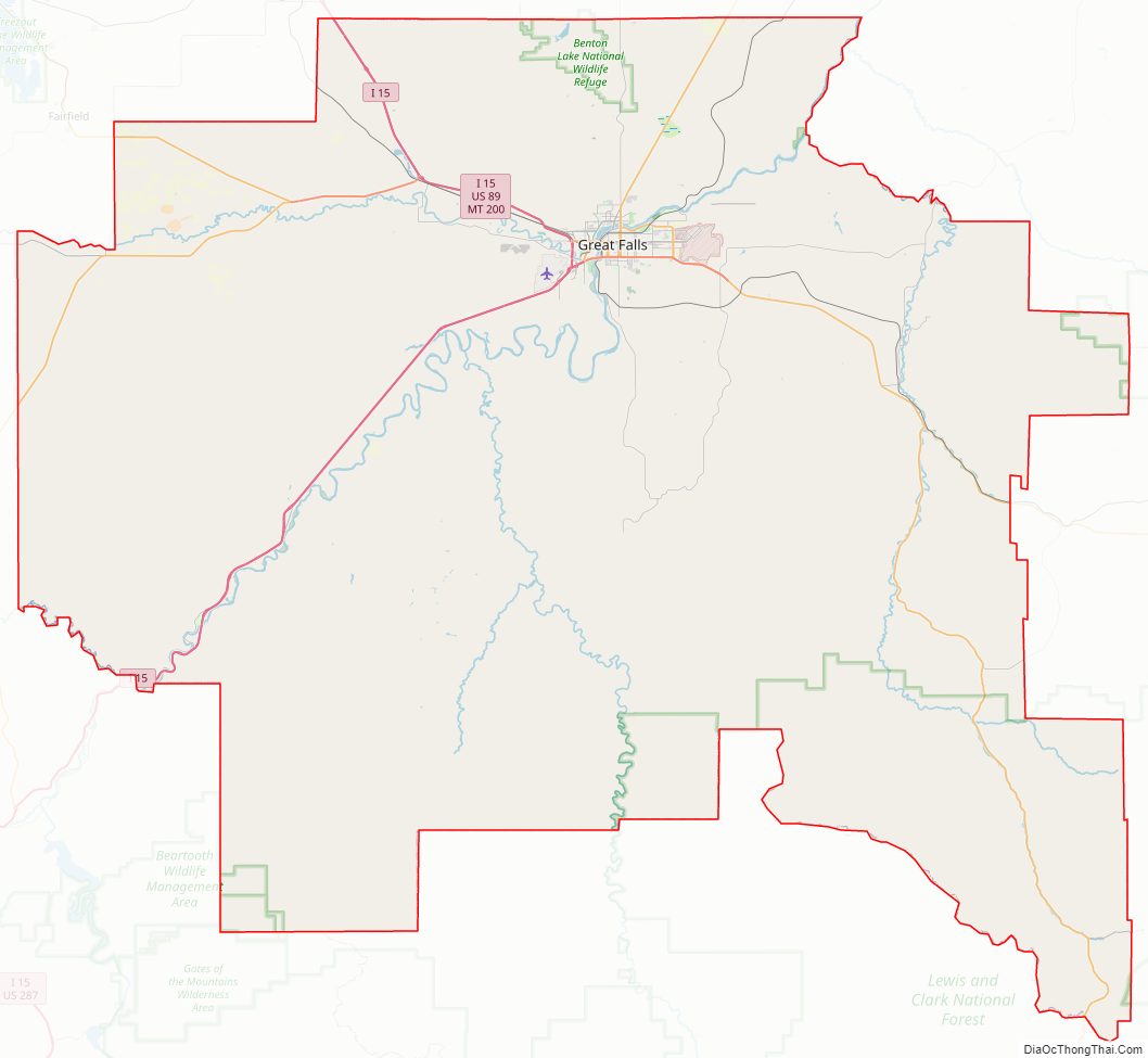
Cascade County Road Map
Geography
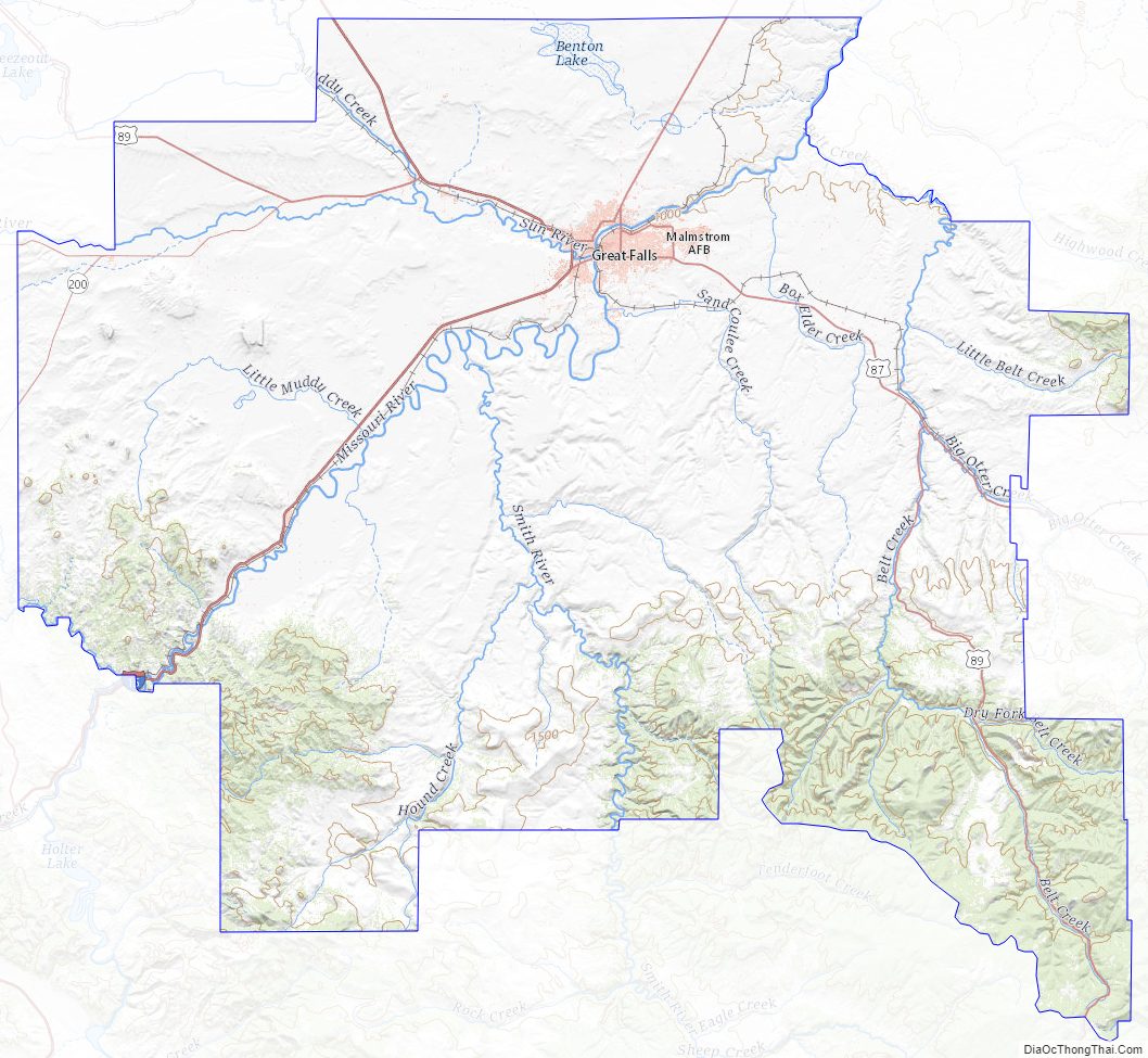
According to the United States Census Bureau, the county has a total area of 2,711 square miles (7,020 km), of which 2,698 square miles (6,990 km) is land and 13 square miles (34 km) (0.5%) is water. The Missouri River and the Sun River flow through the county, and meet at the city of Great Falls. A portion of the Adel Mountains Volcanic Field is in the southwest corner of the county. The Rocky Mountains are in the western part of the county with the Little Belt and Highwood Mountains in the southeast.
Adjacent counties
- Teton County – northwest
- Chouteau County – northeast
- Judith Basin County – east
- Meagher County – south
- Lewis and Clark County – west
National protected areas
- Benton Lake National Wildlife Refuge
- Lewis and Clark National Forest (part)
Cascade County Topographic Map
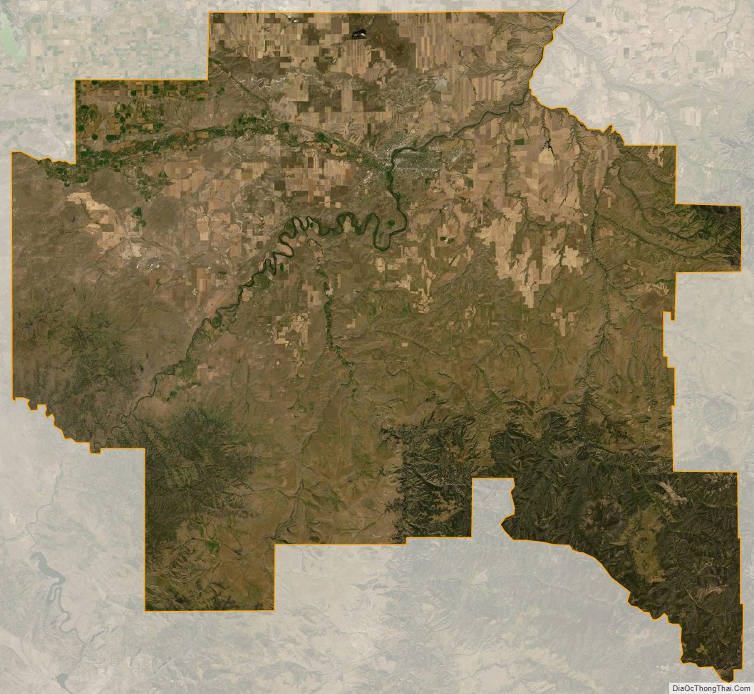
Cascade County Satellite Map
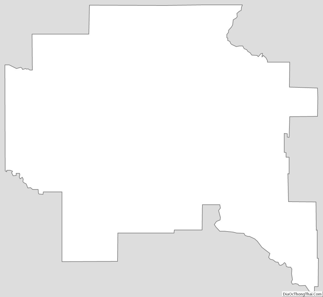
Cascade County Outline Map