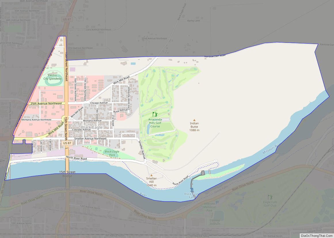
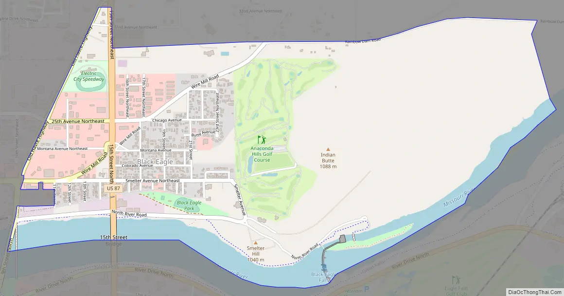
Black Eagle is a census-designated place (CDP) in Cascade County, Montana, United States. The population was 904 at the 2010 census. It is a suburb of Great Falls.
| Name: | Black Eagle CDP |
|---|---|
| LSAD Code: | 57 |
| LSAD Description: | CDP (suffix) |
| State: | Montana |
| County: | Cascade County |
| Elevation: | 3,379 ft (1,030 m) |
| Total Area: | 1.73 sq mi (4.48 km²) |
| Land Area: | 1.54 sq mi (3.99 km²) |
| Water Area: | 0.19 sq mi (0.49 km²) |
| Total Population: | 949 |
| Population Density: | 615.83/sq mi (237.71/km²) |
| ZIP code: | 59414 |
| Area code: | 406 |
| FIPS code: | 3007150 |
| GNISfeature ID: | 0802039 |
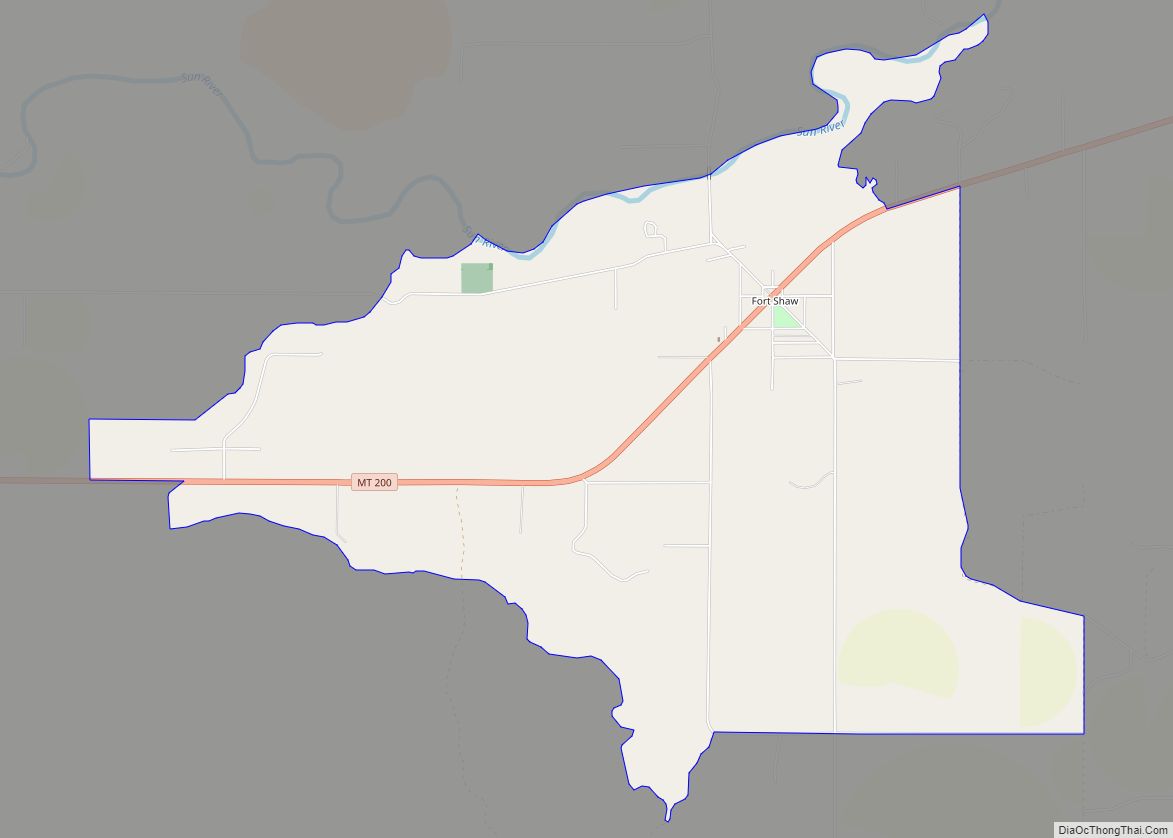
Online Interactive Map
Click on ![]() to view map in "full screen" mode.
to view map in "full screen" mode.
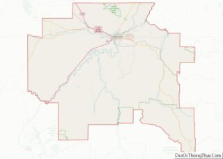
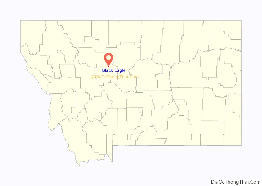
Black Eagle location map. Where is Black Eagle CDP?

History
With early activity from smelters and refineries, Black Eagle was first called “Little Chicago”. This was a reference to the industrialized nature of the town. When the post office was established in 1917, the name of the town officially became Black Eagle. It was named for the Black Eagle Falls on the Missouri River, which were named by Capt. Meriwether Lewis.
Construction of the Boston & Montana smelter, which formed the town’s skyline, began in 1891. It was demolished on September 18, 1982.
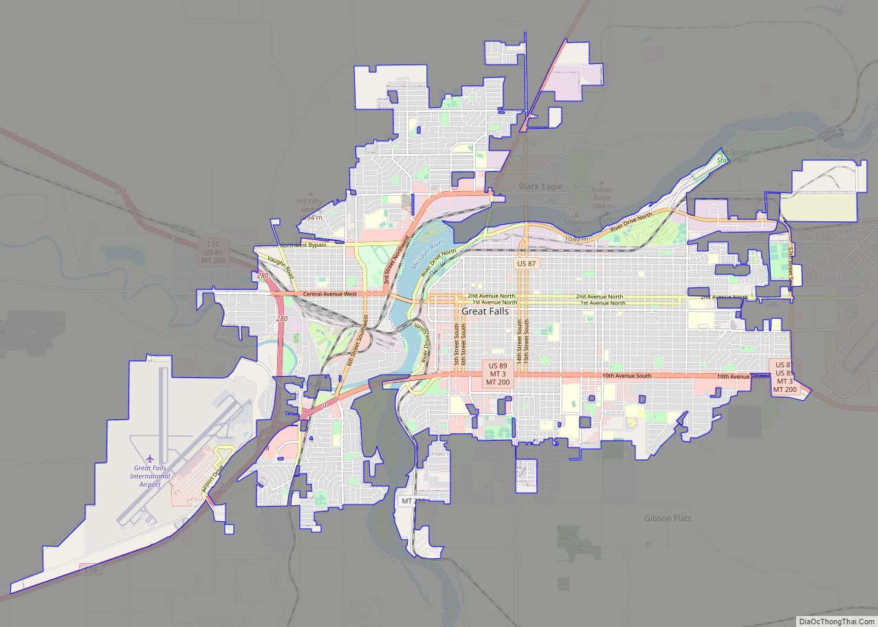
Black Eagle Road Map
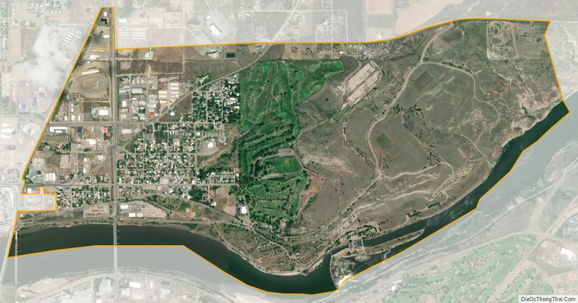
Black Eagle city Satellite Map
Geography
Black Eagle is located at 47°31′35″N 111°16′42″W / 47.52639°N 111.27833°W / 47.52639; -111.27833 (47.526385, -111.278459). It is near Giant Springs State Park.
According to the United States Census Bureau, the CDP has a total area of 1.7 square miles (4.4 km), of which 1.5 square miles (3.9 km) is land and 0.1 square miles (0.26 km) (8.33%) is water.
See also
Map of Montana State and its subdivision:- Beaverhead
- Big Horn
- Blaine
- Broadwater
- Carbon
- Carter
- Cascade
- Chouteau
- Custer
- Daniels
- Dawson
- Deer Lodge
- Fallon
- Fergus
- Flathead
- Gallatin
- Garfield
- Glacier
- Golden Valley
- Granite
- Hill
- Jefferson
- Judith Basin
- Lake
- Lewis and Clark
- Liberty
- Lincoln
- Madison
- McCone
- Meagher
- Mineral
- Missoula
- Musselshell
- Park
- Petroleum
- Phillips
- Pondera
- Powder River
- Powell
- Prairie
- Ravalli
- Richland
- Roosevelt
- Rosebud
- Sanders
- Sheridan
- Silver Bow
- Stillwater
- Sweet Grass
- Teton
- Toole
- Treasure
- Valley
- Wheatland
- Wibaux
- Yellowstone
- Alabama
- Alaska
- Arizona
- Arkansas
- California
- Colorado
- Connecticut
- Delaware
- District of Columbia
- Florida
- Georgia
- Hawaii
- Idaho
- Illinois
- Indiana
- Iowa
- Kansas
- Kentucky
- Louisiana
- Maine
- Maryland
- Massachusetts
- Michigan
- Minnesota
- Mississippi
- Missouri
- Montana
- Nebraska
- Nevada
- New Hampshire
- New Jersey
- New Mexico
- New York
- North Carolina
- North Dakota
- Ohio
- Oklahoma
- Oregon
- Pennsylvania
- Rhode Island
- South Carolina
- South Dakota
- Tennessee
- Texas
- Utah
- Vermont
- Virginia
- Washington
- West Virginia
- Wisconsin
- Wyoming