Charlotte County is a United States county located in the south central part of the Commonwealth of Virginia. Its county seat is the town of Charlotte Court House. As of the 2020 census, the county population was 11,529. Charlotte County is predominantly rural with a population density of only 26.5 persons per square mile.
| Name: | Charlotte County |
|---|---|
| FIPS code: | 51-037 |
| State: | Virginia |
| Founded: | 1764 |
| Named for: | Queen Charlotte |
| Seat: | Charlotte Court House |
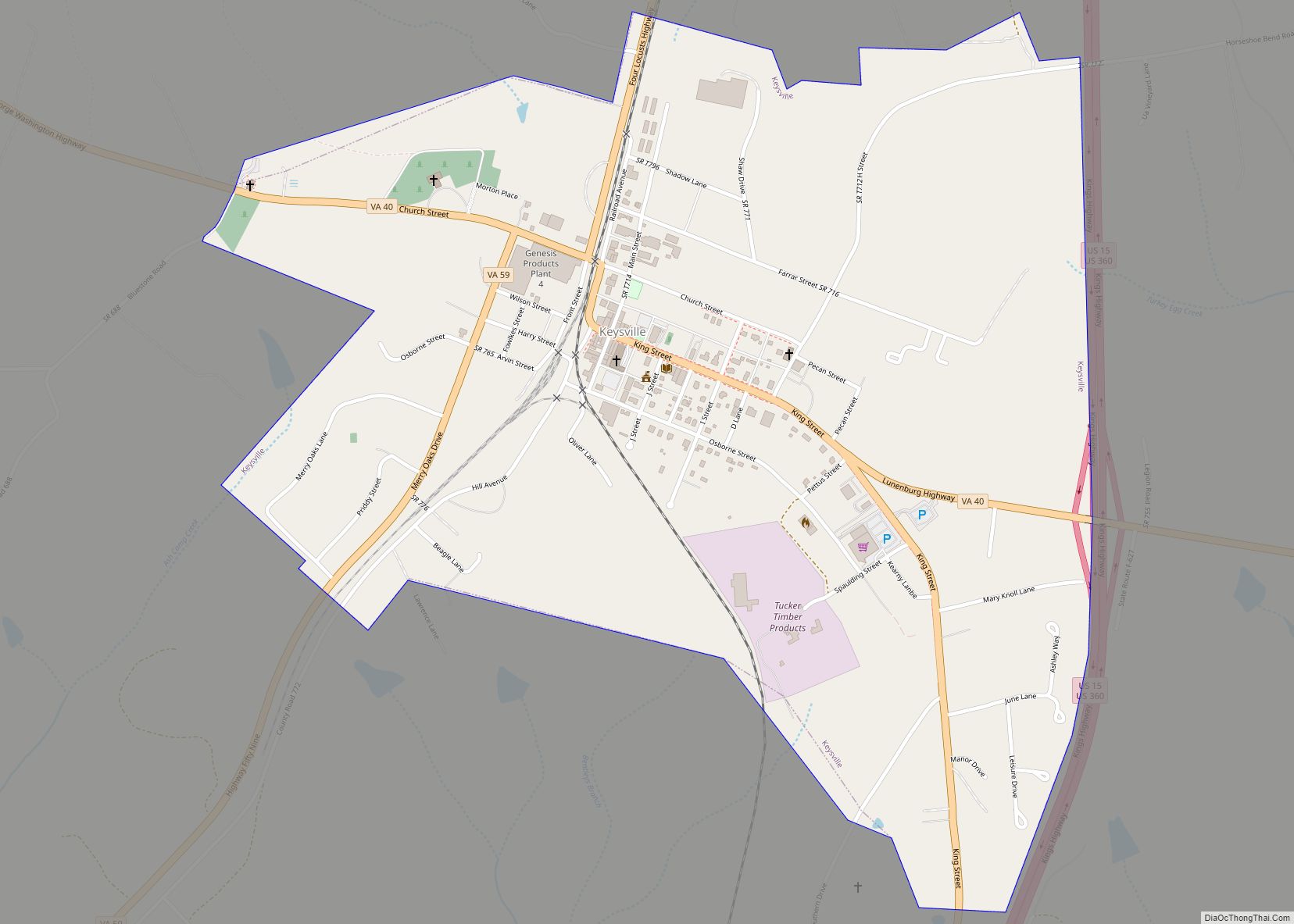
| Largest town: | Keysville |
| Total Area: | 478 sq mi (1,240 km²) |
| Land Area: | 475 sq mi (1,230 km²) |
| Total Population: | 11,529 |
| Population Density: | 24/sq mi (9.3/km²) |
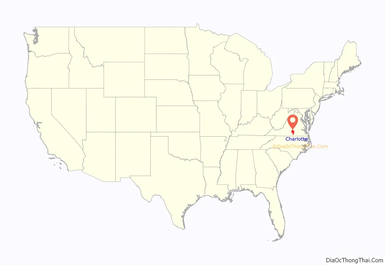
Charlotte County location map. Where is Charlotte County?

History
European settlement of the future county began in the early 18th century, and early settlers included mostly English people, with some French Huguenots, and Scotch-Irish., and a modest population of Germans. After approximately fifty years of European settlement, the House of Burgesses established and incorporated Charlotte County in 1764 from part of Lunenburg County. The new county was named in honor of Charlotte of Mecklenburg-Strelitz, the Queen and wife of King George III of Great Britain. The county residents later became staunch supporters of independence and the American Revolution, and Founding Father Patrick Henry was one of its most famous residents. His grave and the national memorial dedicated to him are located in Charlotte County. Residents of Charlotte County were heavily involved in the American Revolution. County delegates supported resolutions against the Stamp Act of 1765, and the county government was the second governing body to declare independence from English rule. In addition, Charlotte militia units fought under General Robert Lawson during the Yorktown campaign, which effectively led to the end of the American War of Independence. Finally, the final resting place and national memorial to revolutionary hero Patrick Henry is at Red Hill Plantation.
Charlotte County has also played a role in other wars on American soil. An artillery company from Charlotte played a key role in the Battle of Craney Island during the War of 1812. Also, a significant battle in the American Civil War occurred in Charlotte and Halifax counties during the Battle of Staunton River Bridge, which resulted in a victory for the Confederacy.
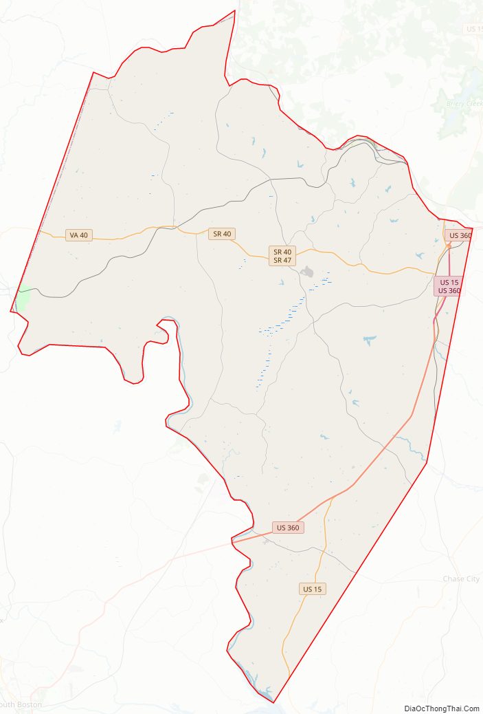
Charlotte County Road Map
Geography
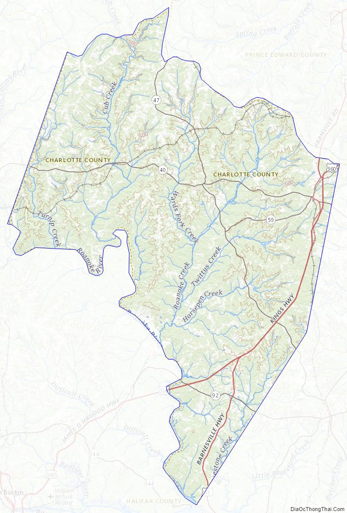
According to the U.S. Census Bureau, the county has a total area of 478 square miles (1,240 km), of which 475 square miles (1,230 km) is land and 2.2 square miles (5.7 km) (0.5%) is water. The county is bounded on the southwest by the Roanoke River, locally known as the “Staunton River”. The terrain is hilly.
Adjacent counties
- Prince Edward County – north
- Lunenburg County – east
- Mecklenburg County – southeast
- Halifax County – southwest
- Campbell County – west
- Appomattox County – northwest
Major highways
- US 15 (Farmville Rd on the extreme northside of the county; joins US 360 in Keysville and separates in Wylliesburg
- US 360 (Kings Hwy)
- SR 40 (Lunenburg County Rd on the extreme eastside; Front St & Church St in Keysville; George Washington Hwy; joins SR 47 in Charlotte Court House and becomes David Bruce Ave; Patrick Henry Hwy)
- SR 47 (Thomas Jefferson Hwy; forks from SR 40 and becomes LeGrande Ave; Tollhouse Hwy; Drakes Main St in Drakes Branch; Craftons Gate Hwy
- SR 59 (Highway Fifty-Nine)
- SR 92 (Jeb Stuart Hwy)
Charlotte County Topographic Map
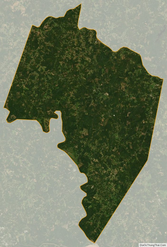
Charlotte County Satellite Map
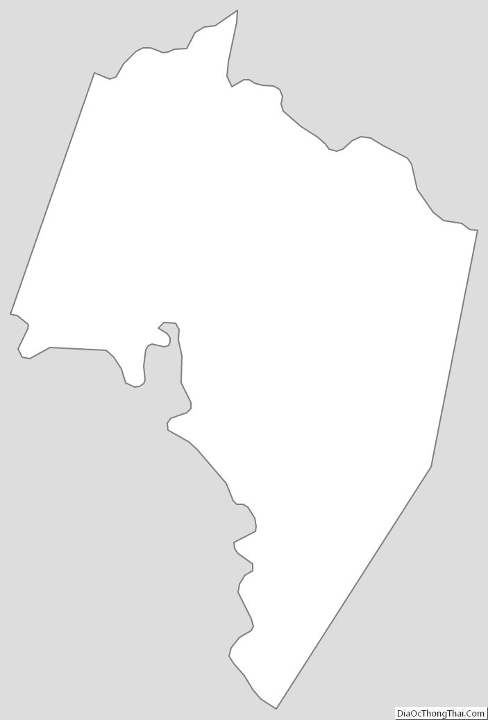
Charlotte County Outline Map