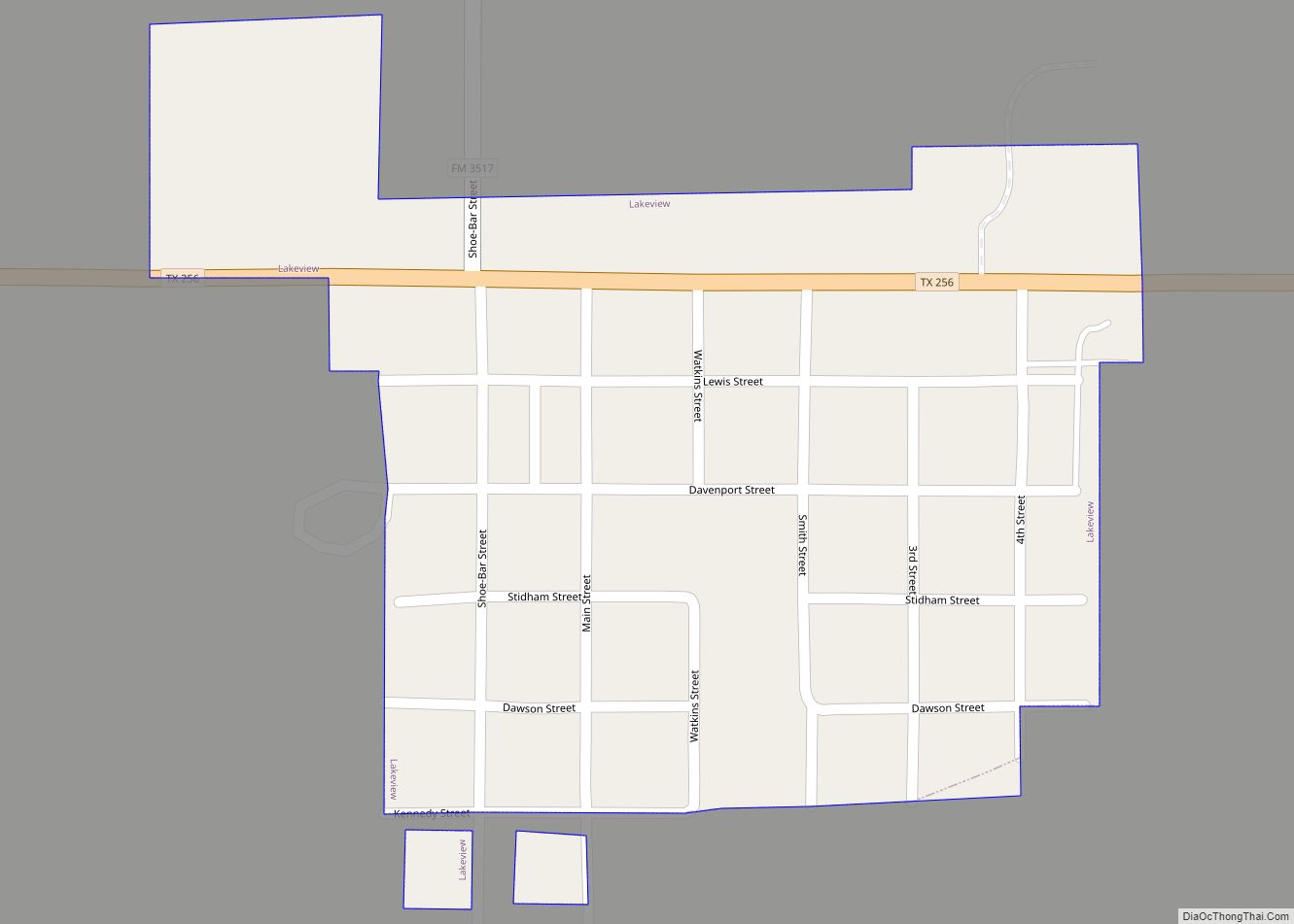
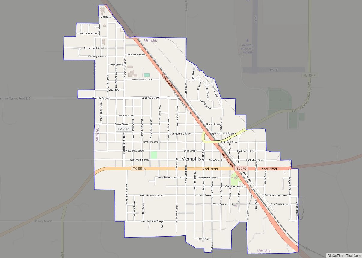
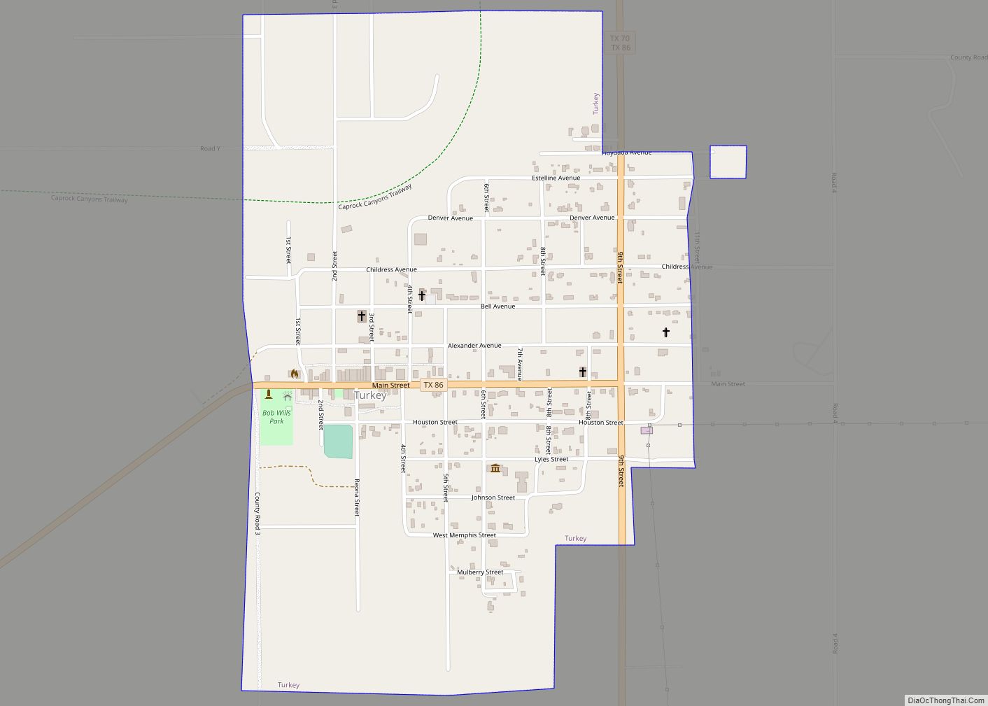
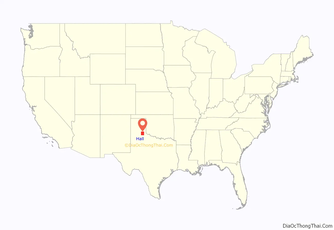
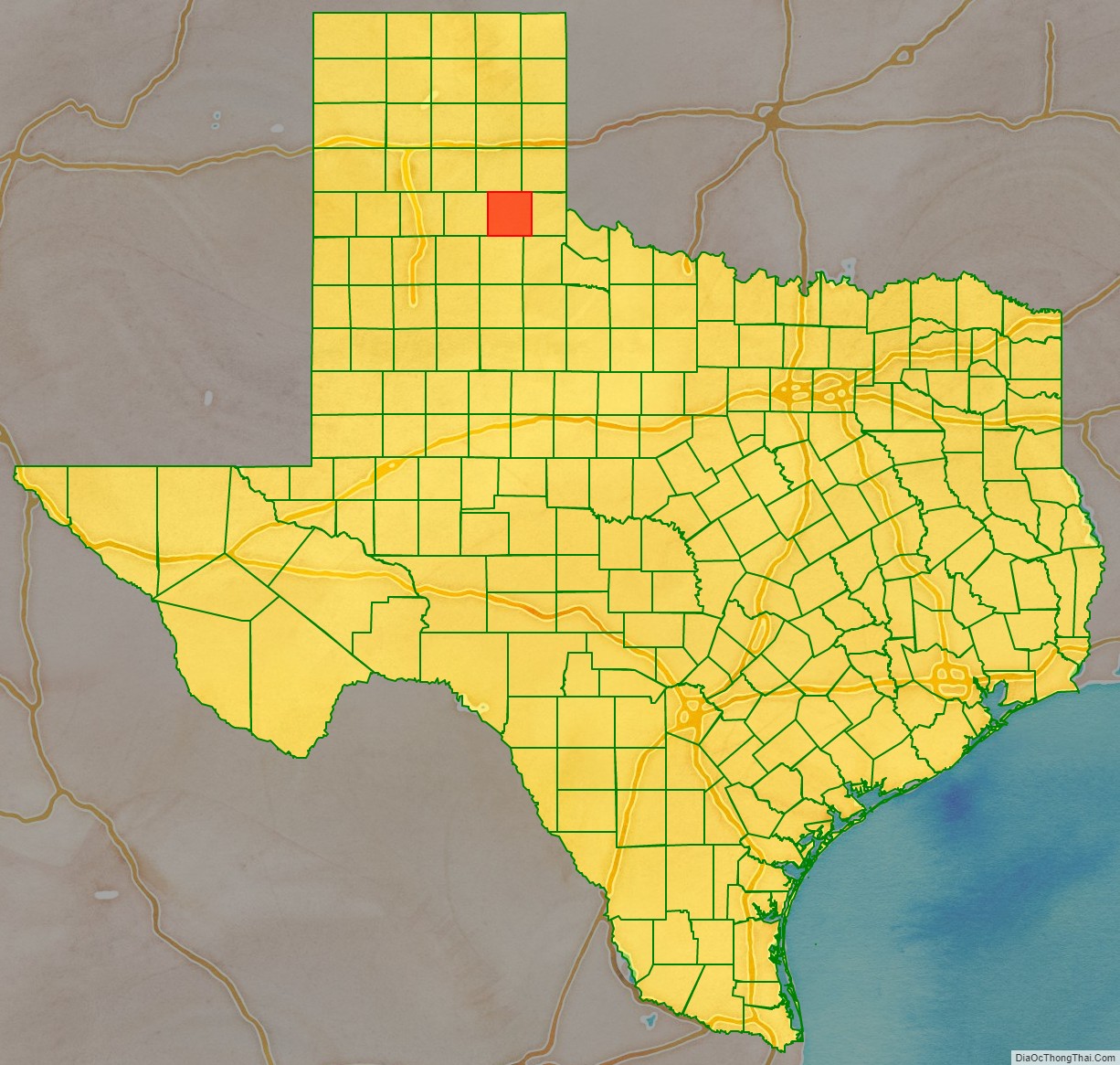
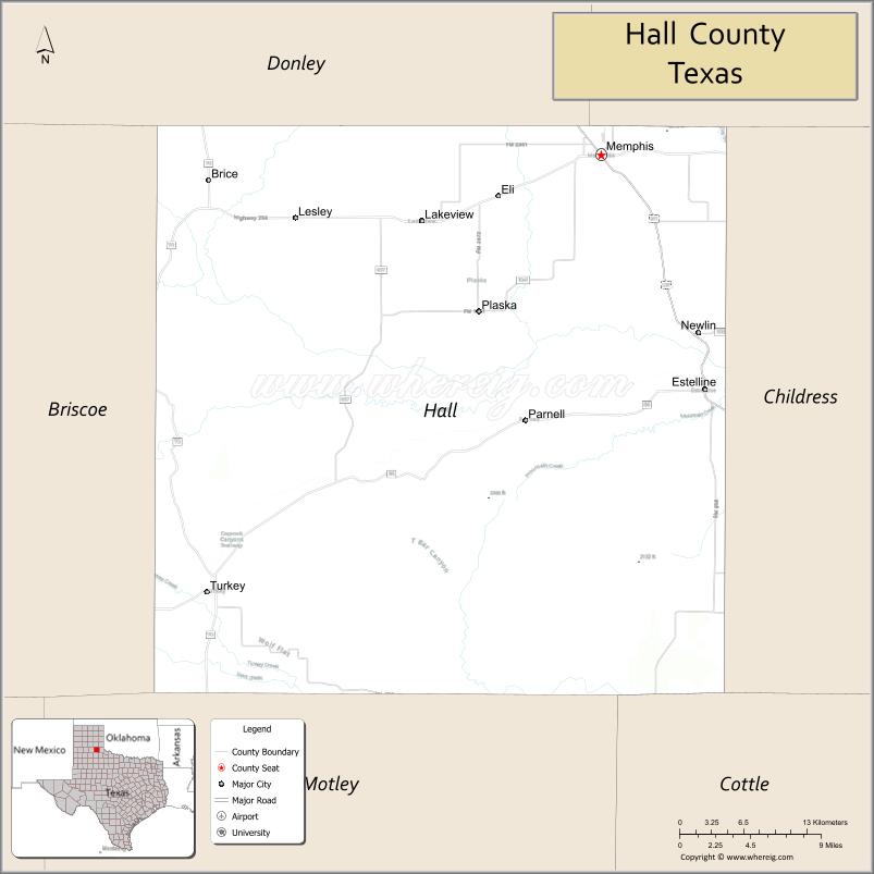
Hall County is a county located in the U.S. state of Texas. As of the 2020 census, the population is 2,825. Its county seat is Memphis. The county was created in 1876 and later organized in 1890. It is named for Warren D. C. Hall, a secretary of war for the Republic of Texas.
| Name: | Hall County |
|---|---|
| FIPS code: | 48-191 |
| State: | Texas |
| Founded: | 1890 |
| Named for: | Warren D. C. Hall |
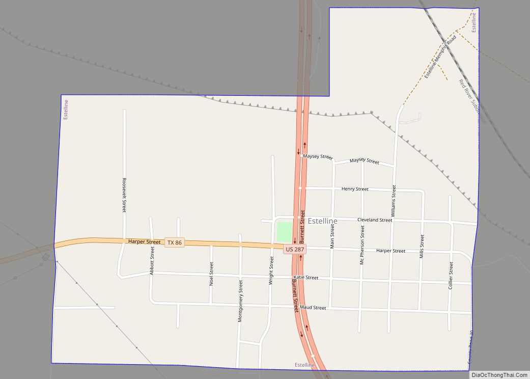
| Seat: | Memphis |
| Largest city: | Memphis |
| Total Area: | 904 sq mi (2,340 km²) |
| Land Area: | 883 sq mi (2,290 km²) |
| Total Population: | 2,825 |
| Population Density: | 3.1/sq mi (1.2/km²) |
| Time zone: | UTC−6 (Central) |
| Summer Time Zone (DST): | UTC−5 (CDT) |
Hall County location map. Where is Hall County?
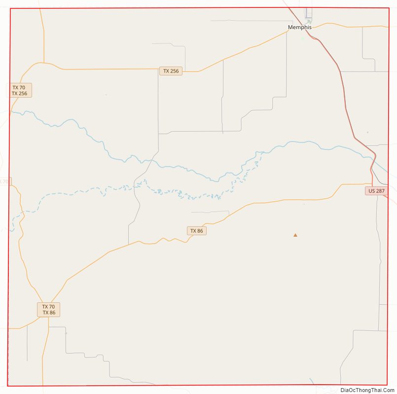
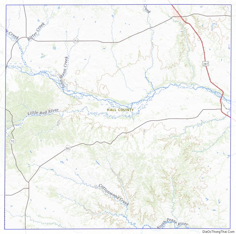
Hall County Road Map
Geography
According to the U.S. Census Bureau, the county has a total area of 904 square miles (2,340 km), of which 883 square miles (2,290 km) are land and 21 square miles (54 km) (3.8%) are covered by water.
Major highways
- U.S. Highway 287
- State Highway 70
- State Highway 86
- State Highway 256
Adjacent counties
- Donley County (north)
- Collingsworth County (northeast)
- Childress County (east)
- Cottle County (southeast)
- Motley County (south)
- Briscoe County (west)
Hall County Topographic Map
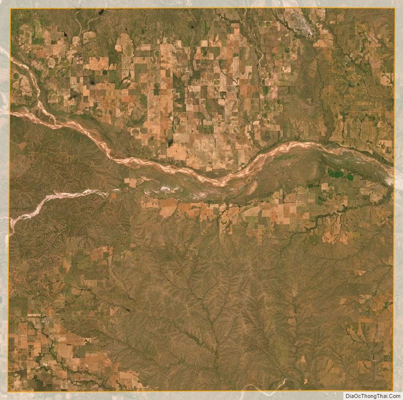
Hall County Satellite Map
Hall County Outline Map