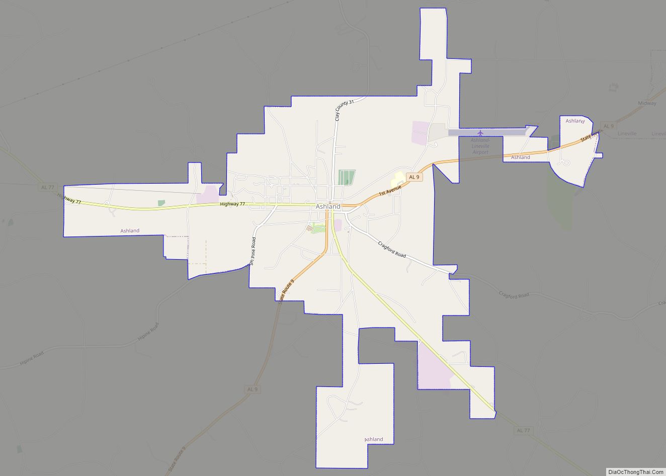
Ashland is a city in Clay County, Alabama, United States. The population was 2,037 at the 2010 census. The city is the county seat of Clay County.
| Name: | Ashland town |
|---|---|
| LSAD Code: | 43 |
| LSAD Description: | town (suffix) |
| State: | Alabama |
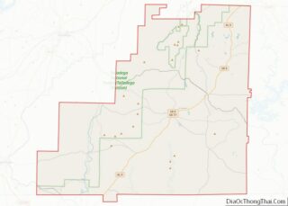
| County: | Clay County |
| Incorporated: | 1871 |
| Elevation: | 1,119 ft (341 m) |
| Total Area: | 7.38 sq mi (19.11 km²) |
| Land Area: | 7.35 sq mi (19.03 km²) |
| Water Area: | 0.03 sq mi (0.09 km²) |
| Total Population: | 1,984 |
| Population Density: | 270.08/sq mi (104.28/km²) |
| ZIP code: | 36251 |
| Area code: | 256 |
| FIPS code: | 0102860 |
| GNISfeature ID: | 0159091 |
| Website: | http://www.cityofashland.net/ |
Online Interactive Map
Click on ![]() to view map in "full screen" mode.
to view map in "full screen" mode.
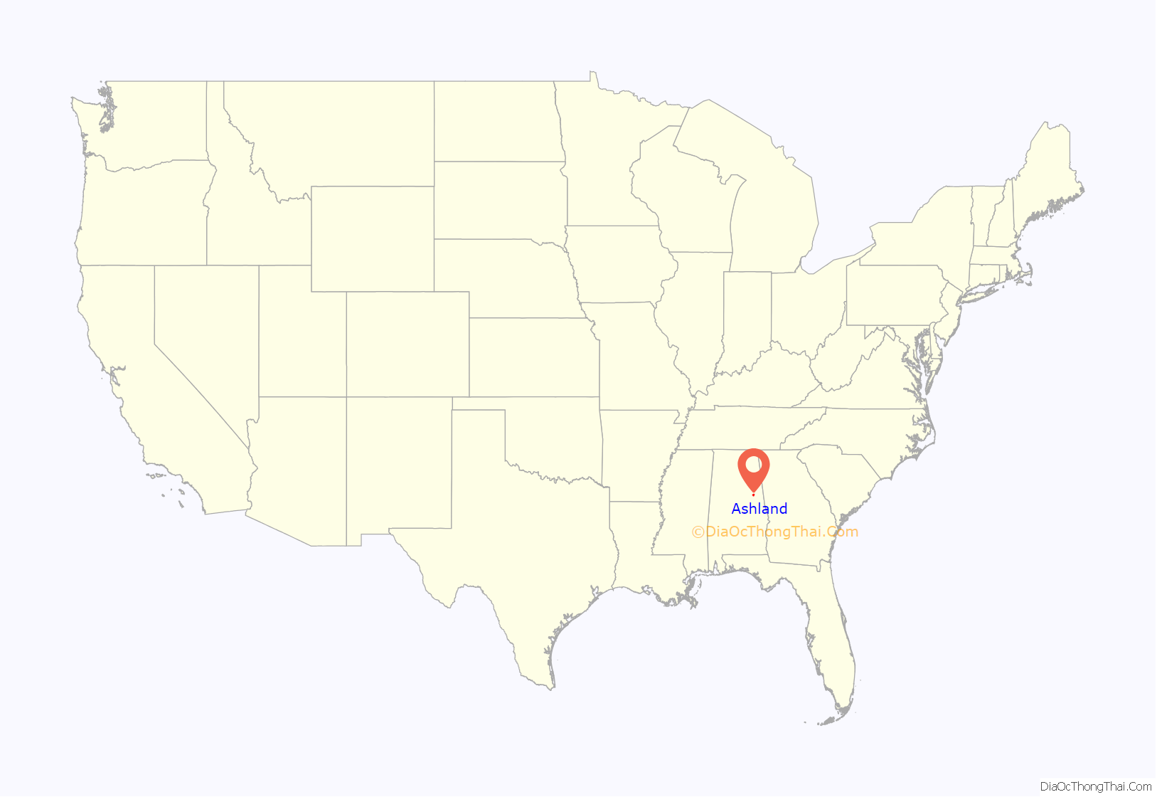
Ashland location map. Where is Ashland town?

History
Clay County was formed by an act of the Alabama General Assembly on December 7, 1866. Less than a year later, Ashland was established as the county seat on land donated by Hollingsworth Watts for the construction of a courthouse. In 1871 Ashland was incorporated and named for 19th century statesman Henry Clay’s Kentucky estate home.
During the early years, the town grew very rapidly. The town continued to grow with the opening of Alabama’s first graphite mine in 1899. When World War I ended, the market for graphite dropped drastically, thus ending the town’s growth phase.
The 1930s brought the Great Depression and boll weevil to Ashland that destroyed the cotton industry. Farmers were forced to abandon what had been the community’s major industry. Timber, poultry, and cabinet making became the dominant industries by the beginning of the 21st century.
Ashland Road Map
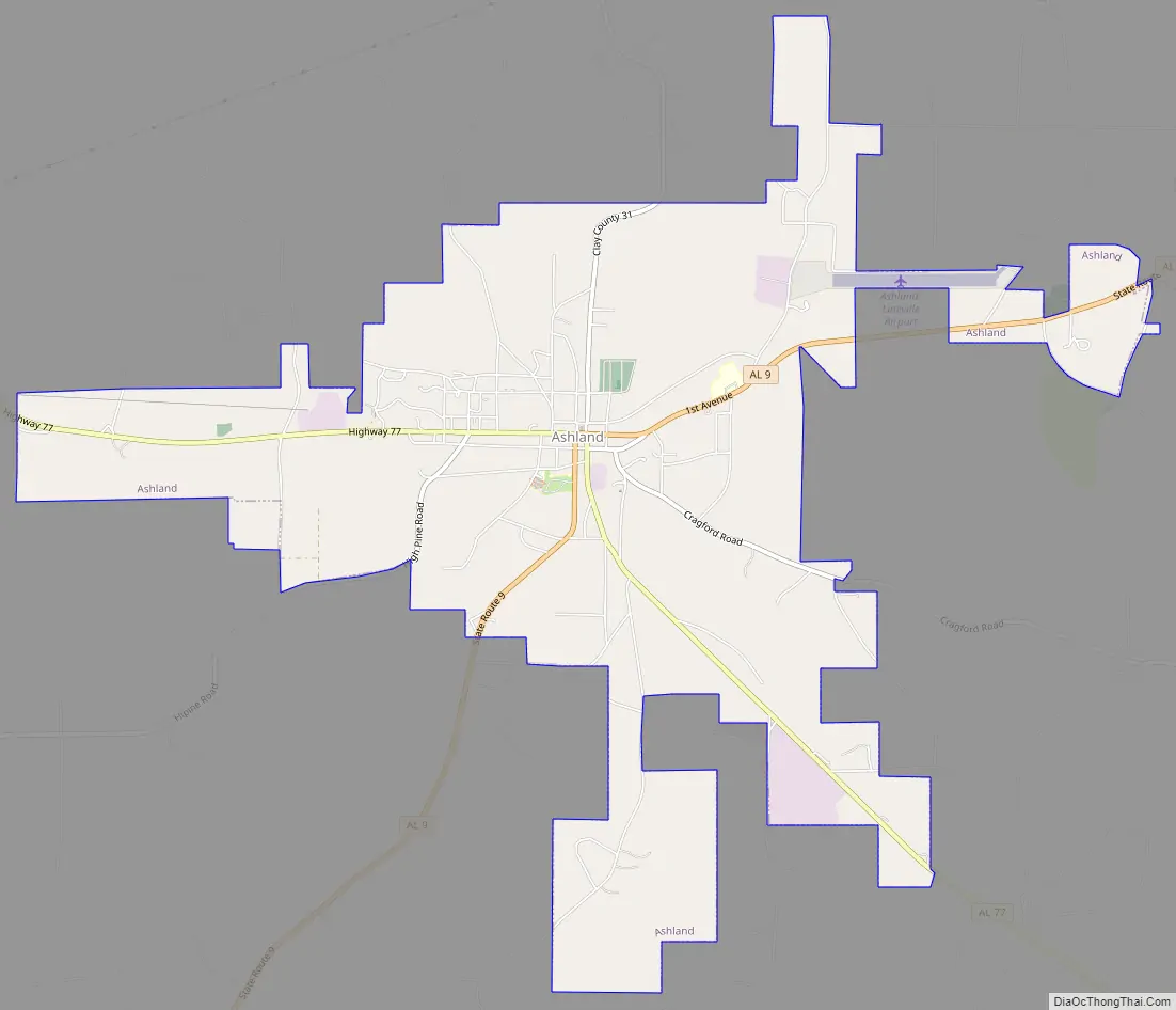
Ashland city Satellite Map

Geography
Ashland is located at 33°16′20″N 85°50′13″W / 33.27222°N 85.83694°W / 33.27222; -85.83694 (33.272206, −85.836925).
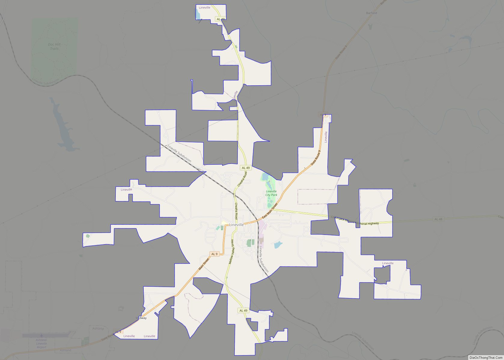
Alabama State Routes 9 and 77 are the main routes through the city. AL-9 runs through the downtown area, leading northeast 6 mi (9.7 km) to Lineville and southwest 20 mi (32 km) to Goodwater. AL-77 meets AL-9 in the downtown area, and leads northwest 24 mi (39 km) to Talladega and southeast 21 mi (34 km) to Wadley.
According to the U.S. Census Bureau, the city had a total area of 7.3 square miles (19 km), of which 7.2 square miles (19 km) is land and 0.04 square miles (0.10 km) (0.41%) is water.
At 1,130 feet (340 m), Ashland is Alabama’s highest elevated county seat.
Climate
The climate in this area is characterized by hot, humid summers and generally mild to cool winters. According to the Köppen Climate Classification system, Ashland has a humid subtropical climate, abbreviated “Cfa” on climate maps.
See also
Map of Alabama State and its subdivision:- Autauga
- Baldwin
- Barbour
- Bibb
- Blount
- Bullock
- Butler
- Calhoun
- Chambers
- Cherokee
- Chilton
- Choctaw
- Clarke
- Clay
- Cleburne
- Coffee
- Colbert
- Conecuh
- Coosa
- Covington
- Crenshaw
- Cullman
- Dale
- Dallas
- De Kalb
- Elmore
- Escambia
- Etowah
- Fayette
- Franklin
- Geneva
- Greene
- Hale
- Henry
- Houston
- Jackson
- Jefferson
- Lamar
- Lauderdale
- Lawrence
- Lee
- Limestone
- Lowndes
- Macon
- Madison
- Marengo
- Marion
- Marshall
- Mobile
- Monroe
- Montgomery
- Morgan
- Perry
- Pickens
- Pike
- Randolph
- Russell
- Saint Clair
- Shelby
- Sumter
- Talladega
- Tallapoosa
- Tuscaloosa
- Walker
- Washington
- Wilcox
- Winston
- Alabama
- Alaska
- Arizona
- Arkansas
- California
- Colorado
- Connecticut
- Delaware
- District of Columbia
- Florida
- Georgia
- Hawaii
- Idaho
- Illinois
- Indiana
- Iowa
- Kansas
- Kentucky
- Louisiana
- Maine
- Maryland
- Massachusetts
- Michigan
- Minnesota
- Mississippi
- Missouri
- Montana
- Nebraska
- Nevada
- New Hampshire
- New Jersey
- New Mexico
- New York
- North Carolina
- North Dakota
- Ohio
- Oklahoma
- Oregon
- Pennsylvania
- Rhode Island
- South Carolina
- South Dakota
- Tennessee
- Texas
- Utah
- Vermont
- Virginia
- Washington
- West Virginia
- Wisconsin
- Wyoming