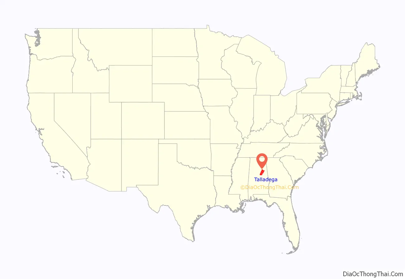
Talladega County (pronounced Talla-dig-a) is one of the sixty-seven counties located in the east central portion of the U.S. state of Alabama. As of the 2020 census, the population was 82,149. Its county seat is Talladega.
Talladega County is included in the Talladega-Sylacauga, AL Micropolitan Statistical Area, which is also included in the Birmingham–Hoover-Talladega, AL Combined Statistical Area.
| Name: | Talladega County |
|---|---|
| FIPS code: | 01-121 |
| State: | Alabama |
| Founded: | December 18, 1832 |
| Named for: | Creek for “Border Town” |
| Seat: | Talladega |
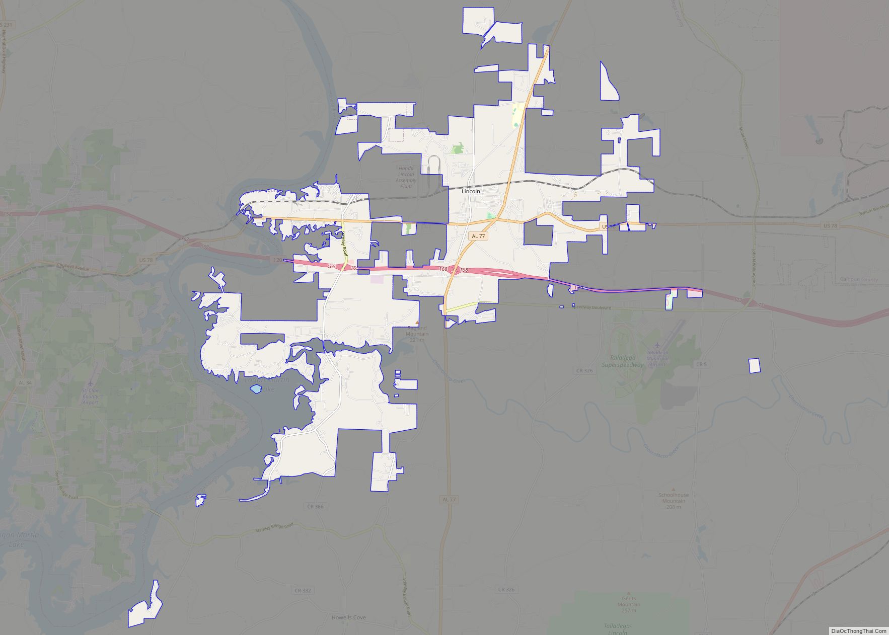
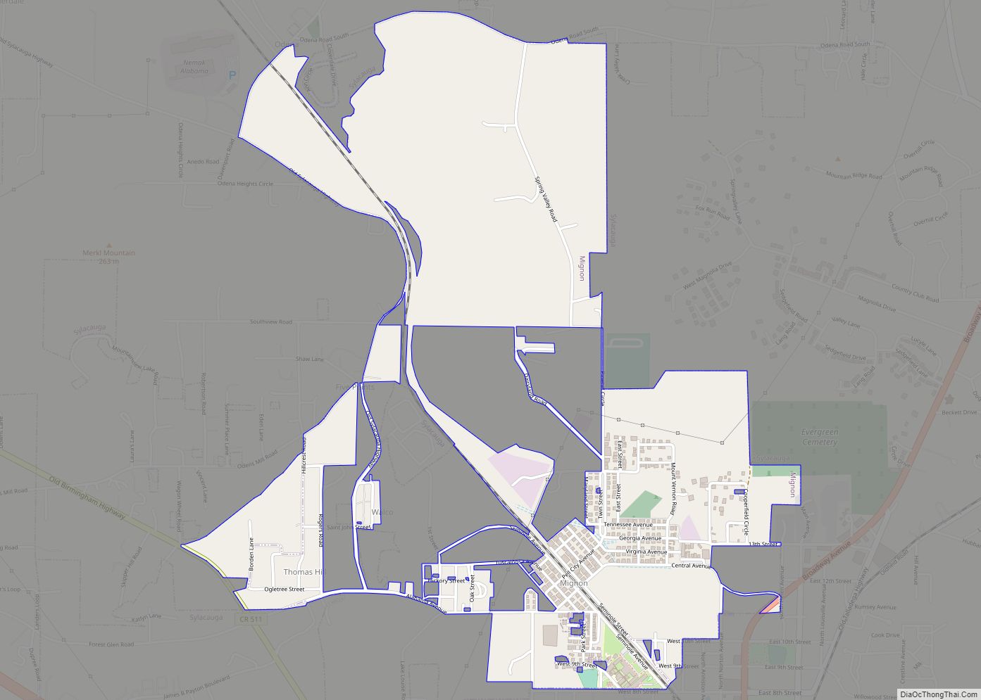
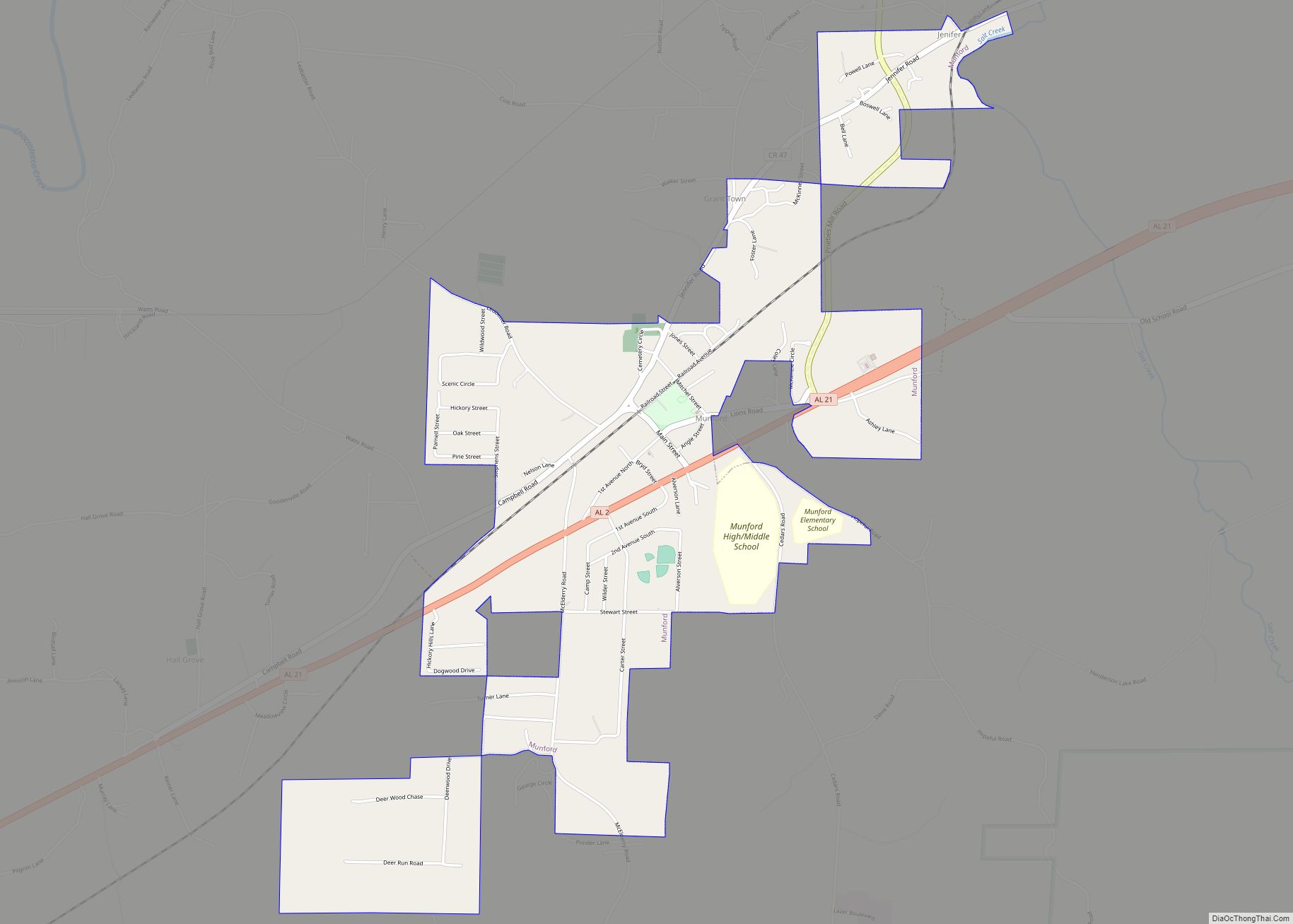
| Largest city: | Talladega |
| Total Area: | 760 sq mi (2,000 km²) |
| Land Area: | 737 sq mi (1,910 km²) |
| Total Population: | 82,149 |
| Population Density: | 110/sq mi (42/km²) |
| Time zone: | UTC−6 (Central) |
| Summer Time Zone (DST): | UTC−5 (CDT) |
| Website: | TalladegaCountyAL.org |
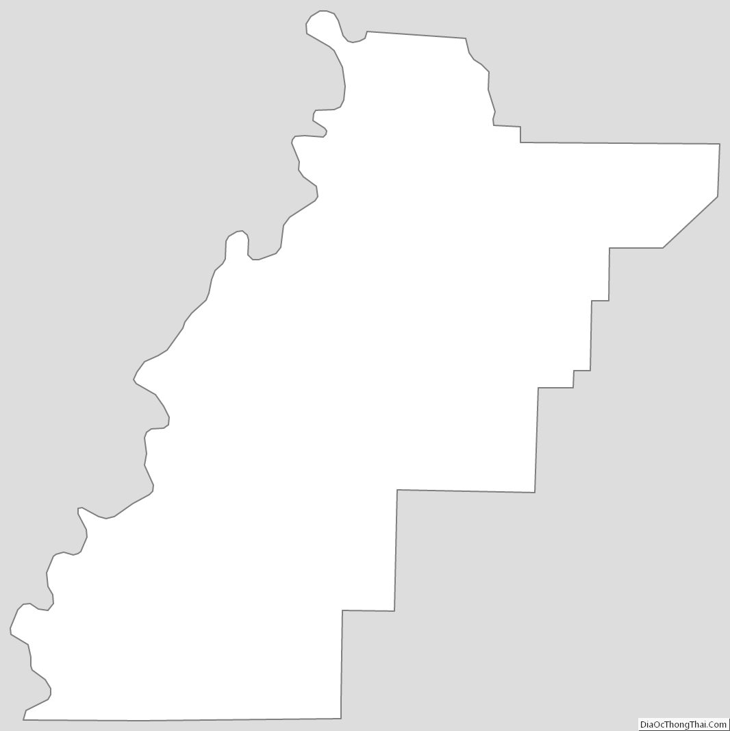
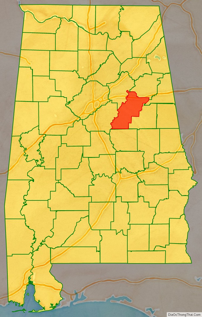
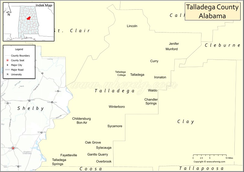
Talladega County location map. Where is Talladega County?
History
Prior to Euro-American settlement in this area, it was occupied by the Abihka tribe of the Creek Confederacy. The United States forced the Creek to agree to treaties by which they ceded their land to the US, ultimately resulting in Indian Removal to west of the Mississippi River, to Indian Territory.
Talladega County was established on December 18, 1832, from land ceded by the Creek Indians near the state’s geographic center. The county seat was established at Talladega in 1834.
The name Talladega is derived from a Muscogee (Creek) Native American word Tvlvteke, from the Creek tålwa, meaning “town”, and åtigi, or “border” — “Border Town”—a town indicating its location on the boundary between the lands of the Creek tribe and those of the Cherokee and Chickasaw.
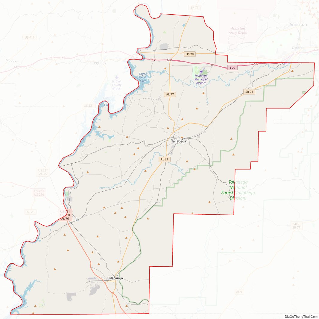
Talladega County Road Map
Geography
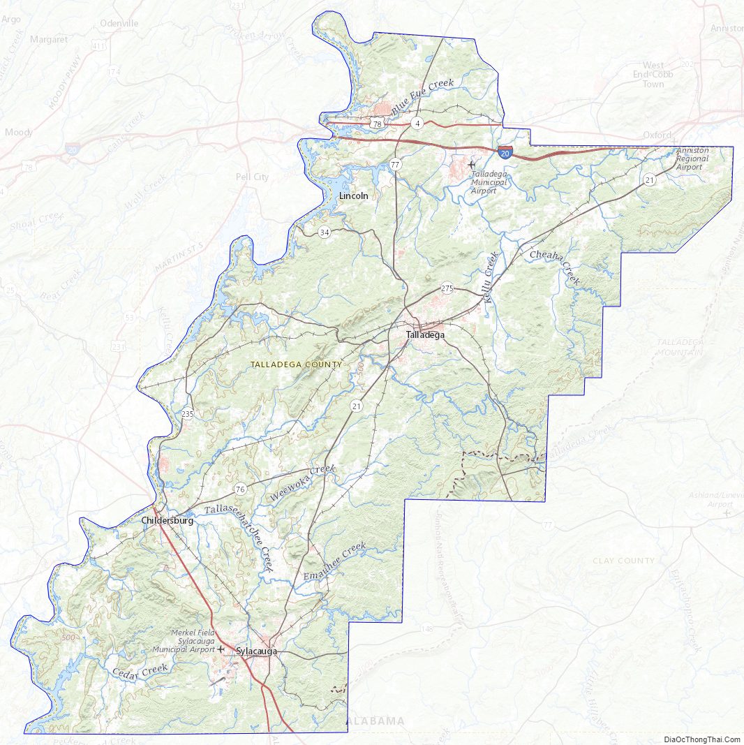
According to the United States Census Bureau, the county has a total area of 760 square miles (2,000 km), of which 737 square miles (1,910 km) is land and 24 square miles (62 km) (3.1%) is water. It is drained by Choccolocco Creek (archaic spelling: Chockolocko) and other streams. The county is located within the Coosa River Valley and the Ridge-and-Valley Appalachians, with the state’s highest point, Mount Cheaha, being located on its northeastern border with Cleburne County.
Adjacent counties
- Calhoun County – north
- Cleburne County – northeast
- Clay County – east
- Coosa County – south
- Shelby County – southwest
- St. Clair County – northwest
National protected area
- Talladega National Forest (part)
Talladega County Topographic Map
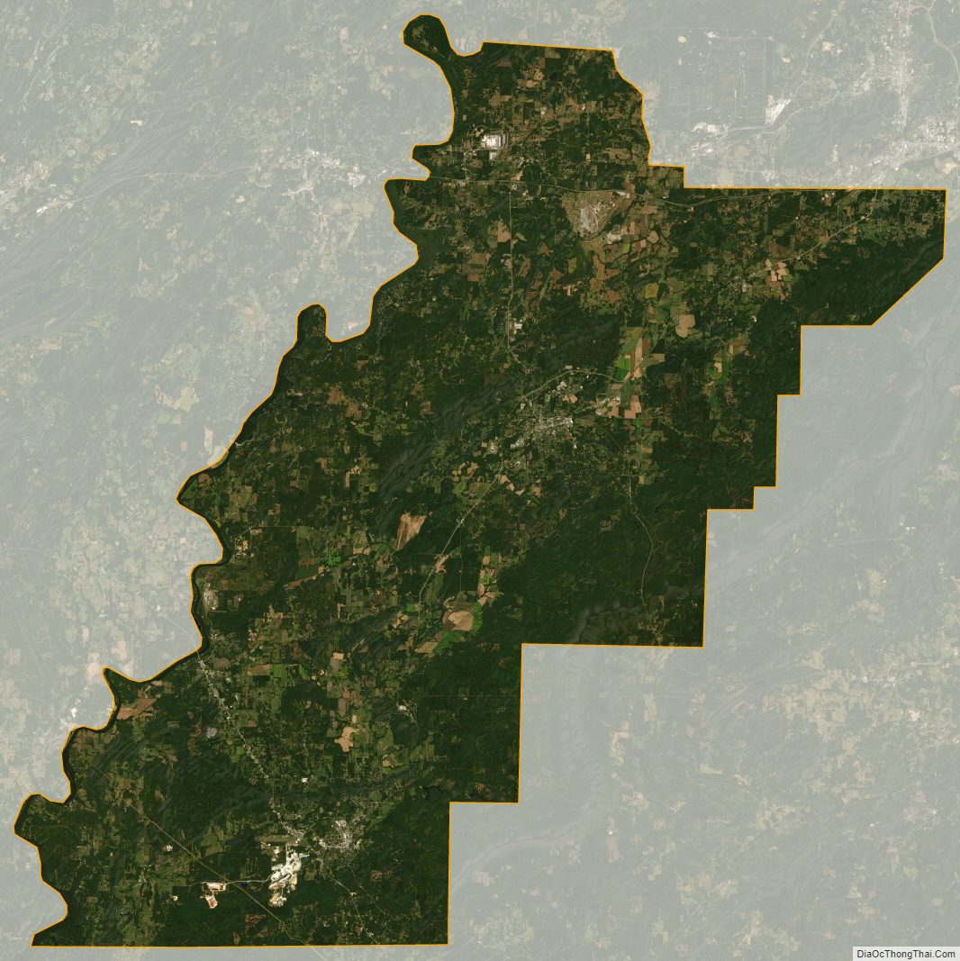
Talladega County Satellite Map
Talladega County Outline Map