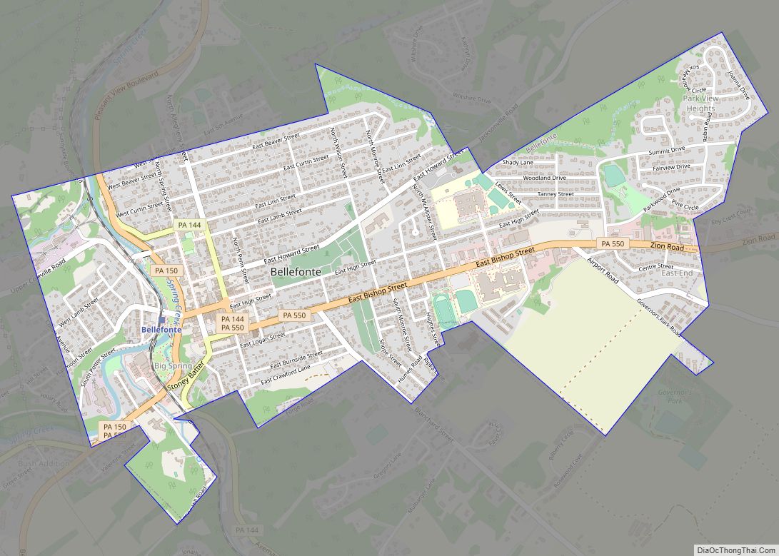
Centre County is a county in the Commonwealth of Pennsylvania. As of the 2020 census, the population was 158,172. Its county seat is Bellefonte. Centre County comprises the State College, PA Metropolitan Statistical Area.
| Name: | Centre County |
|---|---|
| FIPS code: | 42-027 |
| State: | Pennsylvania |
| Founded: | February 13, 1800 |
| Named for: | Centre Furnace, the first industrial facility in the area |
| Seat: | Bellefonte |
| Total Area: | 1,113 sq mi (2,880 km²) |
| Land Area: | 1,110 sq mi (2,900 km²) |
| Total Population: | 158,172 |
| Population Density: | 147/sq mi (57/km²) |
| Time zone: | UTC−5 (Eastern) |
| Summer Time Zone (DST): | UTC−4 (EDT) |
| Website: | www.centrecountypa.gov |
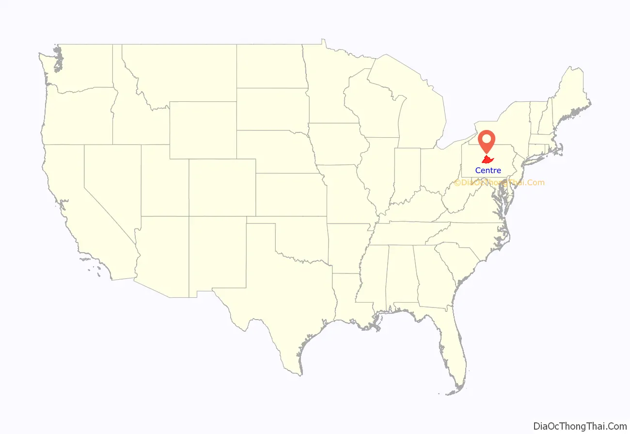
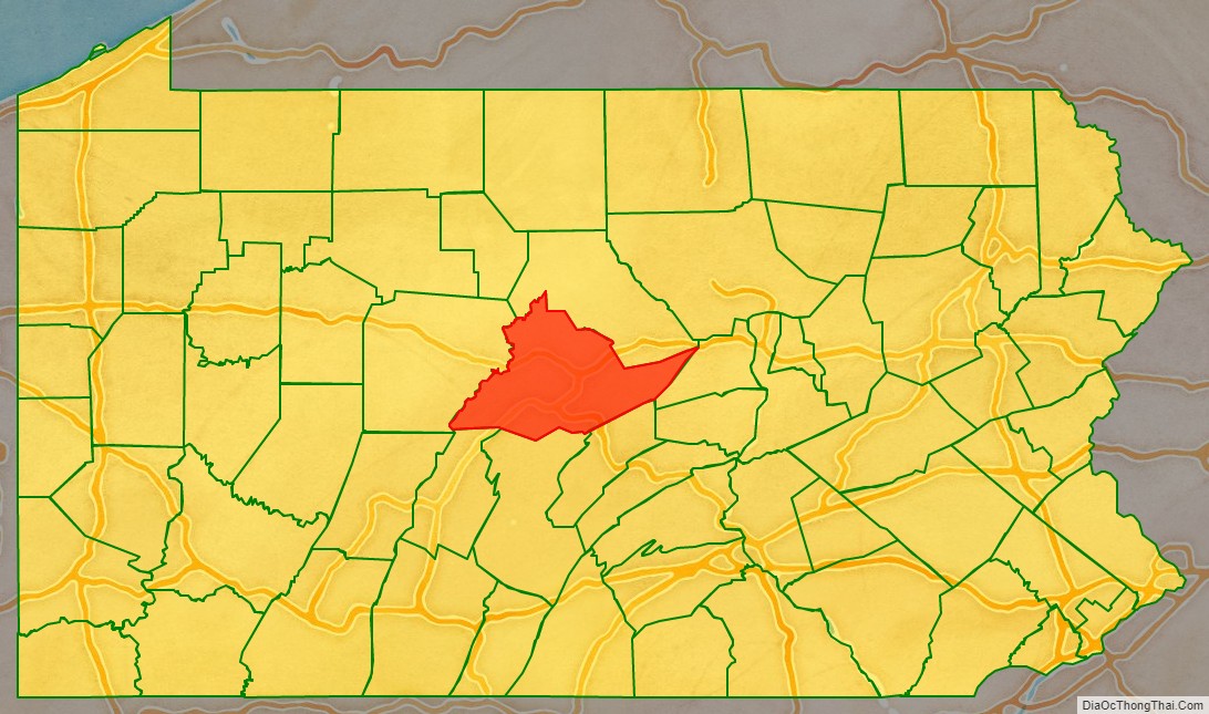
Centre County location map. Where is Centre County?
History
The lands of the future Centre County were first recorded by James Potter in 1764. Potter, having reached the top of Nittany Mountain, and “….seeing the prairies and noble forest beneath him, cried out to his attendant, ‘By heavens, Thompson, I have discovered an empire!'” After the American Revolutionary War, Centre County was created on February 13, 1800, from parts of Huntingdon, Lycoming, Mifflin, and Northumberland counties; it was named for its central location in the state.
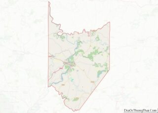
Centre County Road Map
Geography
According to the U.S. Census Bureau, the county has a total area of 1,113 square miles (2,880 km), of which 1,110 square miles (2,900 km) is land and 3.0 square miles (7.8 km) (0.3%) is water. It is the fifth-largest county in Pennsylvania by area and uses area code 814.
Centre has a humid continental climate which is warm-summer (Dfb) except near the Bald Eagle Creek from Wingate downstream where it is hot-summer (Dfa). Average temperatures in downtown State College range from 26.0 °F (−3.3 °C) in January to 70.7 °F (21.5 °C) in July, while in Milesburg they range from 26.4 °F (−3.1 °C) in January to 71.7 °F (22.1 °C) in July and in Snow Shoe they range from 23.8 °F (−4.6 °C) in January to 68.0 °F (20.0 °C) in July.
Features
- Bald Eagle Valley
- Bald Eagle Mountain
- Nittany Valley
- Mount Nittany
- Penns Valley
- Tussey Mountain
Adjacent counties
- Clinton County (north)
- Union County (east)
- Mifflin County (southeast)
- Huntingdon County (south)
- Blair County (south)
- Clearfield County (west)
