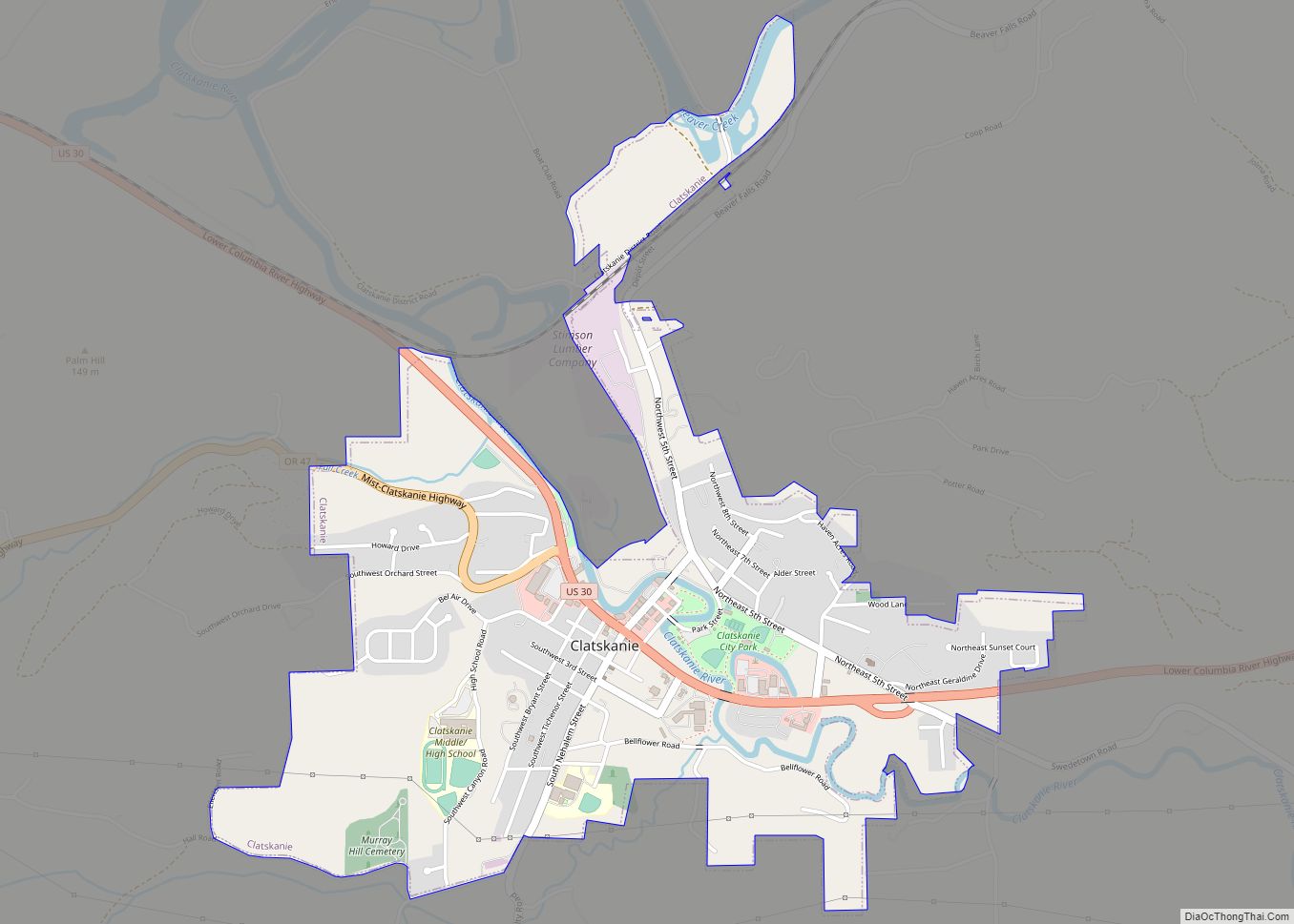
Clatskanie /ˈklætskɪnaɪ/ is a city in Columbia County, Oregon, United States. It was named for the Tlatskanai Native American tribe, and the Clatskanie River which flows through the town and empties into the Columbia River about four miles to the north. The population was 1,737 at the 2010 census.
| Name: | Clatskanie city |
|---|---|
| LSAD Code: | 25 |
| LSAD Description: | city (suffix) |
| State: | Oregon |
| County: | Columbia County |
| Incorporated: | 1891 |
| Elevation: | 59 ft (17.98 m) |
| Total Area: | 1.30 sq mi (3.36 km²) |
| Land Area: | 1.30 sq mi (3.36 km²) |
| Water Area: | 0.00 sq mi (0.00 km²) |
| Total Population: | 1,716 |
| Population Density: | 1,324.07/sq mi (511.32/km²) |
| ZIP code: | 97016 |
| Area code: | 503 and 971 |
| FIPS code: | 4113750 |
| GNISfeature ID: | 1118980 |
| Website: | www.cityofclatskanie.com |
Online Interactive Map
Click on ![]() to view map in "full screen" mode.
to view map in "full screen" mode.
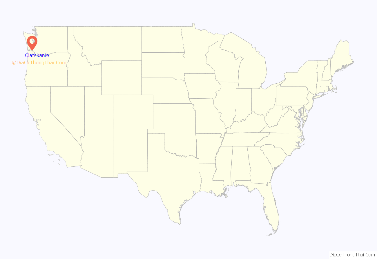
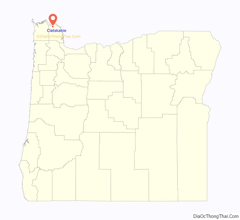
Clatskanie location map. Where is Clatskanie city?
History
The town was originally called Bryantville after the large family who were among the first filers of Donation Land Claims in the area in 1852-53. However, the first postmaster, Enoch Conyers, who was married to one of the Bryant daughters, changed the name to Clatskanie after the Tlatskanai Native American tribe.
According to the Clatsop County pioneer Silas B. Smith, Tlatskanai was a point in the Nehalem River that was reached from the Columbia River by way of the Youngs River or by way of the Clatskanie River. The native inhabitants, who were not in the habit of naming streams, did not use the word Tlatskanai for the streams they would follow in order to get to that point, but the white men who settled here later did apply the name to the streams.
Many of Clatskanie’s inhabitants are of Nordic heritage, specifically Finnish, Swedish, and Norwegian.
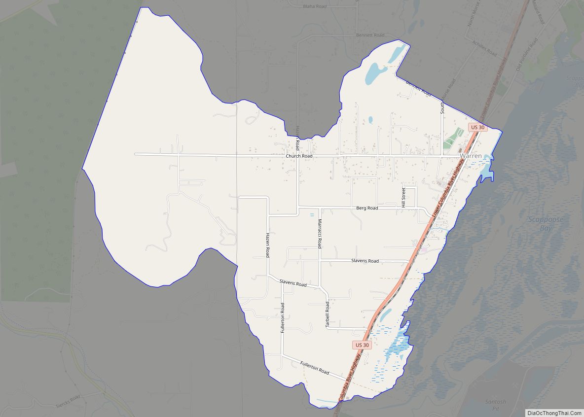
Clatskanie Road Map
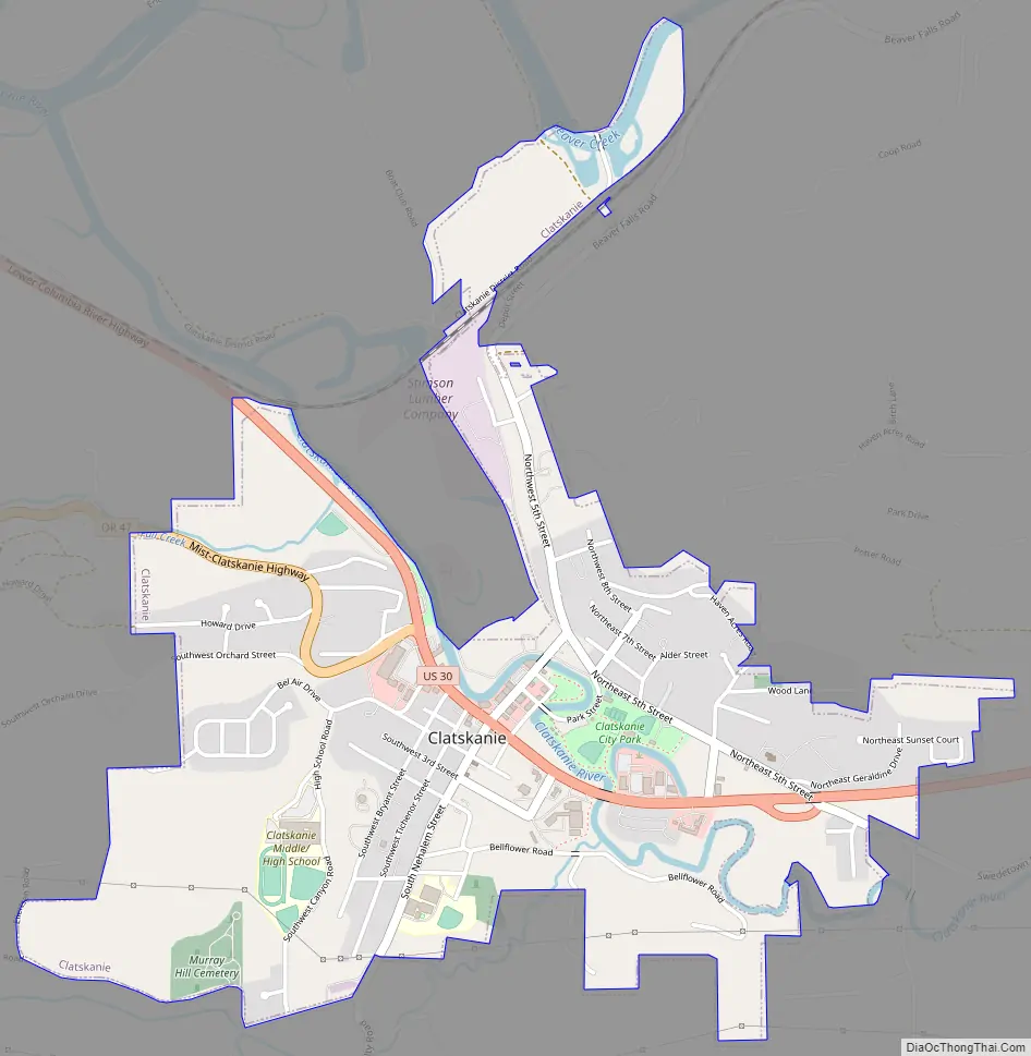
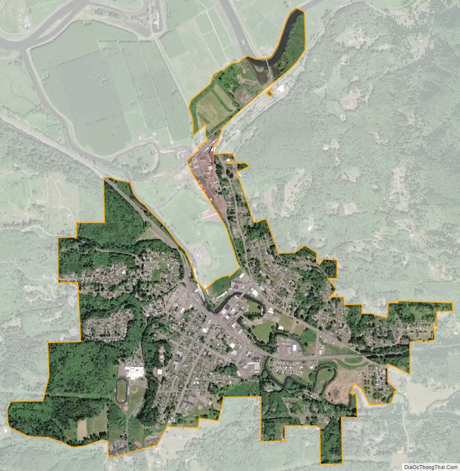
Clatskanie city Satellite Map
Geography
According to the United States Census Bureau, the city has a total area of 1.19 square miles (3.08 km), all of it land.
Climate
According to the Köppen Climate Classification system, Clatskanie has a warm-summer Mediterranean climate, abbreviated “Csb” on climate maps.
See also
Map of Oregon State and its subdivision: Map of other states:- Alabama
- Alaska
- Arizona
- Arkansas
- California
- Colorado
- Connecticut
- Delaware
- District of Columbia
- Florida
- Georgia
- Hawaii
- Idaho
- Illinois
- Indiana
- Iowa
- Kansas
- Kentucky
- Louisiana
- Maine
- Maryland
- Massachusetts
- Michigan
- Minnesota
- Mississippi
- Missouri
- Montana
- Nebraska
- Nevada
- New Hampshire
- New Jersey
- New Mexico
- New York
- North Carolina
- North Dakota
- Ohio
- Oklahoma
- Oregon
- Pennsylvania
- Rhode Island
- South Carolina
- South Dakota
- Tennessee
- Texas
- Utah
- Vermont
- Virginia
- Washington
- West Virginia
- Wisconsin
- Wyoming