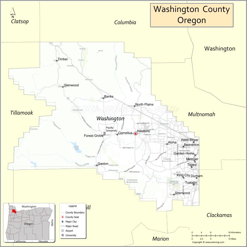
Washington County is one of 36 counties in the U.S. state of Oregon and part of the Portland metropolitan area. The 2020 census recorded the population as 600,372, making it the second most populous county in the state and most populous “Washington County” in the United States. Hillsboro is the county seat and largest city, while other major cities include Beaverton, Tigard, Cornelius, Banks, Gaston, Sherwood, North Plains, and Forest Grove, the county’s oldest city. Originally named Twality when created in 1843, the Oregon Territorial Legislature renamed it for the nation’s first president in 1849 and included the entire northwest corner of Oregon before new counties were created in 1854. The Tualatin River and its drainage basin lie almost entirely within the county, which shares its boundaries with the Tualatin Valley. It is bordered on the west and north by the Northern Oregon Coast Range, on the south by the Chehalem Mountains, and on the north and east by the Tualatin Mountains, or West Hills.
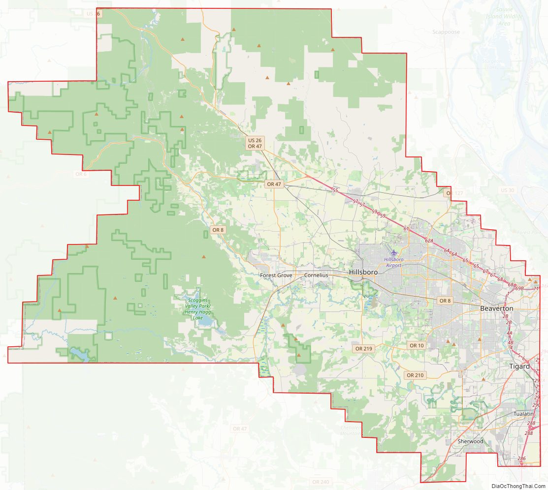
Major roads include sections of Interstate 5 and 205, the Sunset Highway, Oregon Route 217, 47, 10, 6 and 8. Public transportation is primarily operated by TriMet and includes buses, the Westside Express Service commuter rail, and MAX Light Rail. Other transportation includes air travel at Hillsboro Airport, private airfields and heliports, and heavy rail cargo on rail lines.
| Name: | Washington County |
|---|---|
| FIPS code: | 41-067 |
| State: | Oregon |
| Founded: | 1843 |
| Named for: | George Washington |
| Seat: | Hillsboro |
| Largest city: | Hillsboro |
| Total Area: | 726 sq mi (1,880 km²) |
| Land Area: | 724 sq mi (1,880 km²) |
| Total Population: | 600,372 |
| Population Density: | 830/sq mi (320/km²) |
| Time zone: | UTC−8 (Pacific) |
| Summer Time Zone (DST): | UTC−7 (PDT) |
| Website: | www.washingtoncountyor.gov |
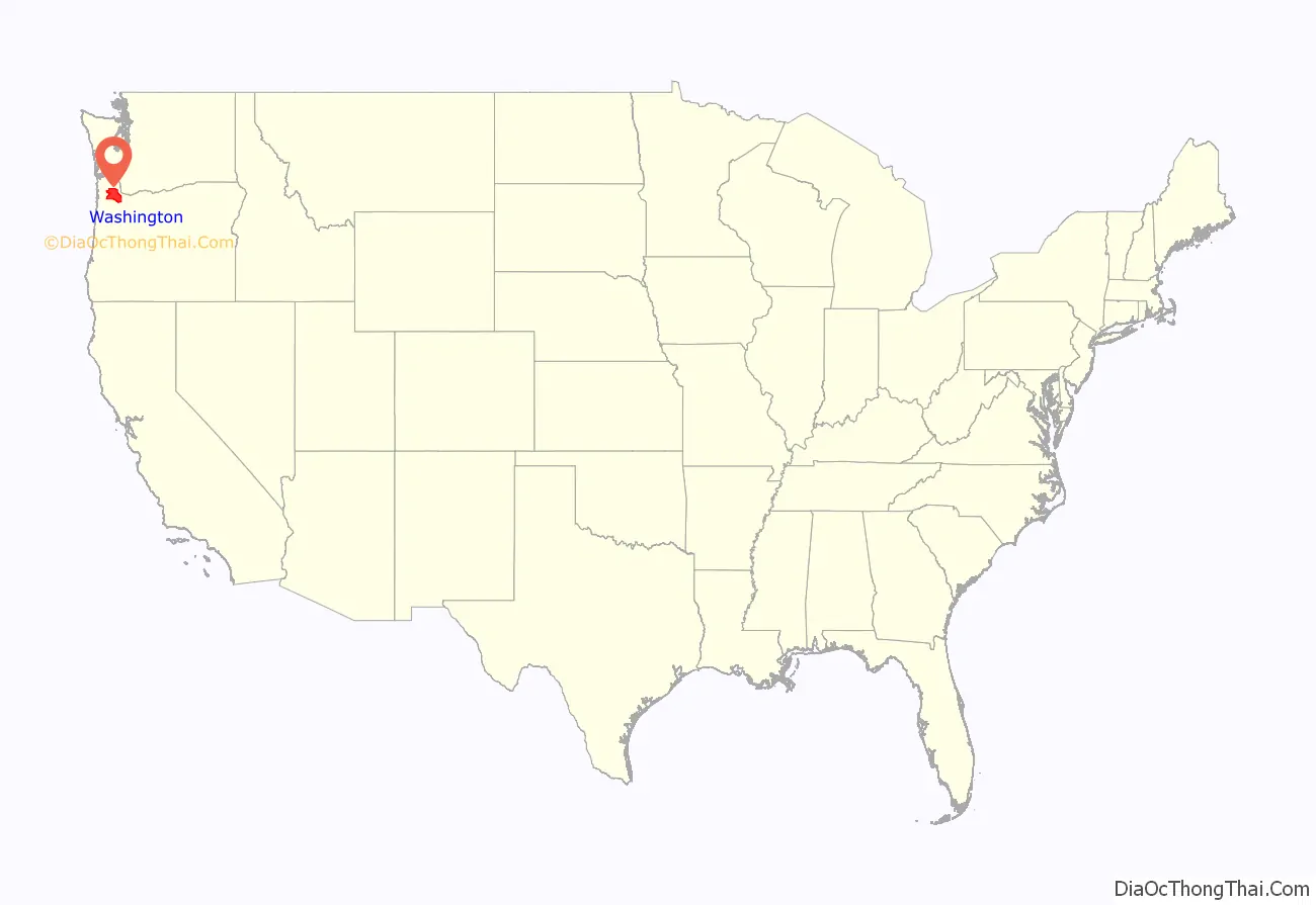
Washington County location map. Where is Washington County?
History
The Provisional Legislature of Oregon created the county as Twality District on July 5, 1843. Twality was one of the original four districts of the Provisional Government of Oregon in Oregon Country along with Clackamas, Champooick (later Marion), and Yamhill counties. Columbia, later known as Hillsboro, was selected as the county seat in 1850. Washington County lost significant portions of its original area when Columbia and Multnomah counties were created in 1854. The county area was increased by 160 acres (65 ha) in 2014 when a section of Multnomah County was attached to Washington. The area was returned to Washington County to allow for property development.
The construction of Canyon Road to Beaverton helped Portland to consolidate its position as the primary port of Oregon, and defeat the rival efforts of settlements such as Oregon City and Milwaukie.
In November 2004, the County and the City of Beaverton agreed to a plan where the city would annex both unincorporated residential neighborhoods as well as high-value areas of land. This would result with Cedar Hills, Garden Home, Raleigh Hills, West Slope being incorporated by 2010, and the communities of Aloha, Bethany, and Cedar Mill at some point after that.
Those plans have since been put on hold after Beaverton attempted to annex Nike, Inc.’s World Headquarters, which would have increased Nike’s taxes substantially. Nike successfully lobbied the legislature for a law that would prohibit their annexation for 99 years. Since that decision, annexation plans have been halted, and Washington County started urban planning to provide city-level services to the unincorporated urban areas in the county.
Washington County Road Map
Geography
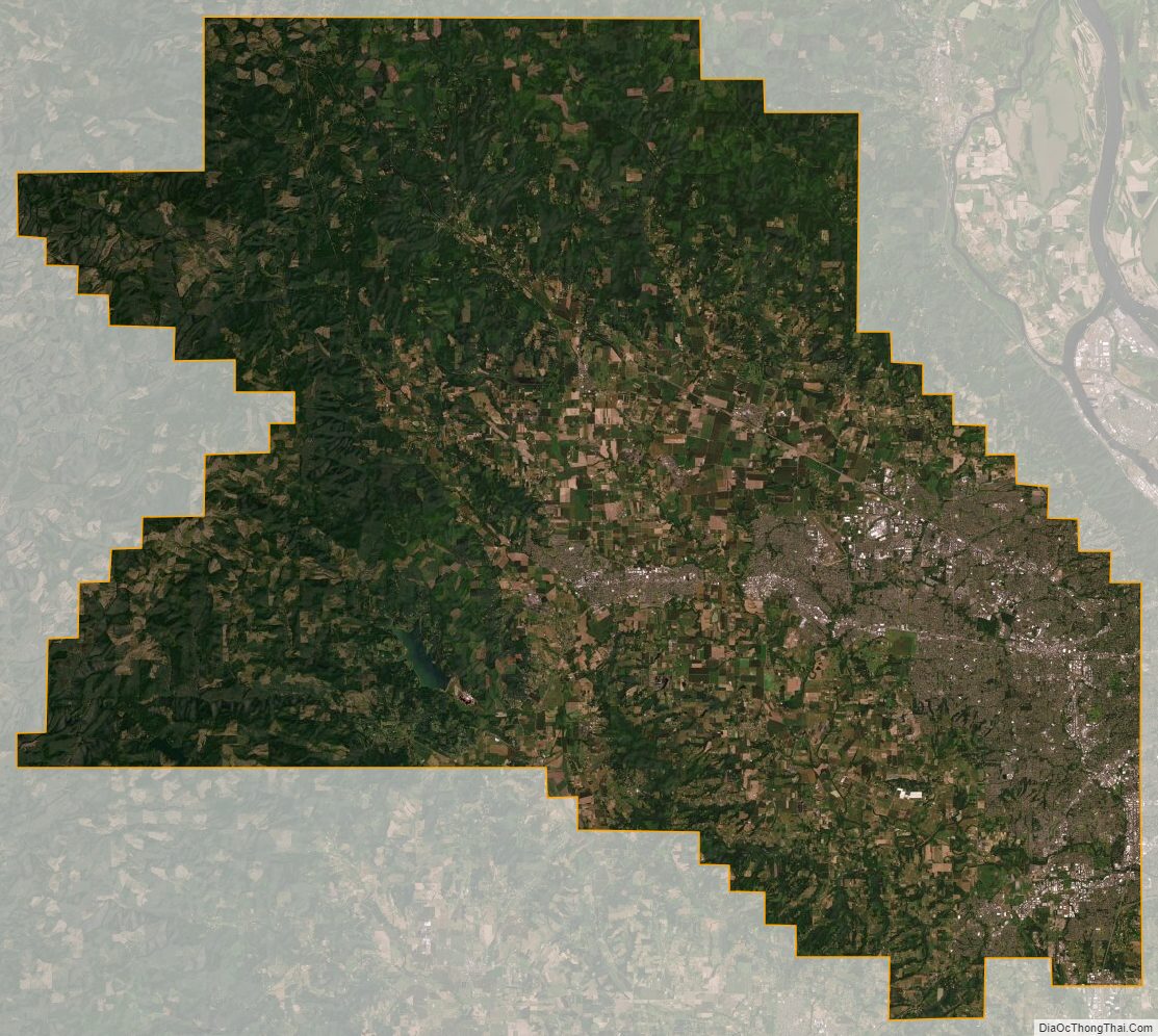
According to the United States Census Bureau, the county has a total area of 726 square miles (1,880 km), of which 724 square miles (1,880 km) is land and 2.2 square miles (5.7 km) (0.3%) is water. It is located approximately 20 miles (32 km) to the west of Portland. The Portland Metro Urban Growth Boundary (UGB) bisects the county. The county’s highest point is South Saddle Mountain at 3,464 feet (1,056 m) above sea level in the Northern Oregon Coast Range.
Most of the county is in the Tualatin Valley, formed by the Tualatin Mountains to the east and north, the Chehalem Mountains to the south, and the Northern Oregon Coast Range to the west and north. The Tualatin River, located almost entriely within the county, flows through the Tualatin Plains. The northern and western portions of the county are forested, while the remainder of the county includes urban areas, agricultural lands, and floodplains.
Waterways
The Tualatin River is the main river in Washington County. Henry Hagg Lake, southwest of Forest Grove, is the largest lake. The Willamette River lies to the east, the Columbia River to the northeast, and the Pacific Ocean to the west of the county.
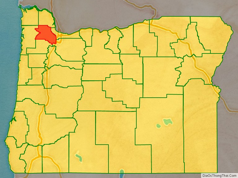
Adjacent counties
- Clatsop County – northwest
- Columbia County – north
- Multnomah County – east
- Clackamas County – southeast
- Yamhill County – south
- Tillamook County – west
Major highways
- Interstate 5 (freeway)
- Interstate 205 (freeway)
- U.S. Route 26 (freeway for part)
- Oregon Route 6
- Oregon Route 8
- Oregon Route 10
- Oregon Route 47
- Oregon Route 99W
- Oregon Route 210
- Oregon Route 217 (freeway)
- Oregon Route 219
National protected areas
- Tualatin River National Wildlife Refuge (part)
Washington County Topographic Map
Washington County Satellite Map
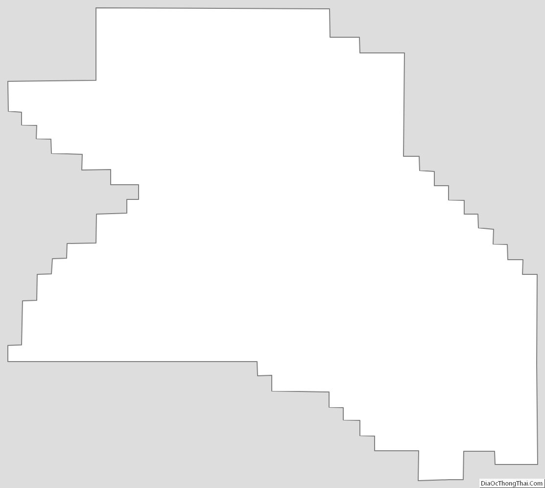
Washington County Outline Map