St. Helens is the county seat of Columbia County, Oregon. It was founded by Captain Henry Montgomery Knighton, a native of New England, in 1845, as “Plymouth”. The name was changed to St. Helens in the latter part of 1850 for its view of Mount St. Helens, roughly 39 miles (63 km) away in Washington. The city is about 28 miles (45 km) northwest of Portland. Its population was 12,883 at the 2010 census.
| Name: | St. Helens city |
|---|---|
| LSAD Code: | 25 |
| LSAD Description: | city (suffix) |
| State: | Oregon |
| County: | Columbia County |
| Incorporated: | 1889 |
| Elevation: | 39 ft (11.9 m) |
| Total Area: | 5.95 sq mi (15.41 km²) |
| Land Area: | 4.83 sq mi (12.51 km²) |
| Water Area: | 1.12 sq mi (2.90 km²) |
| Total Population: | 13,817 |
| Population Density: | 2,860.07/sq mi (1,104.33/km²) |
| FIPS code: | 4164600 |
| GNISfeature ID: | 1126468 |
| Website: | www.ci.st-helens.or.us |
Online Interactive Map
Click on ![]() to view map in "full screen" mode.
to view map in "full screen" mode.
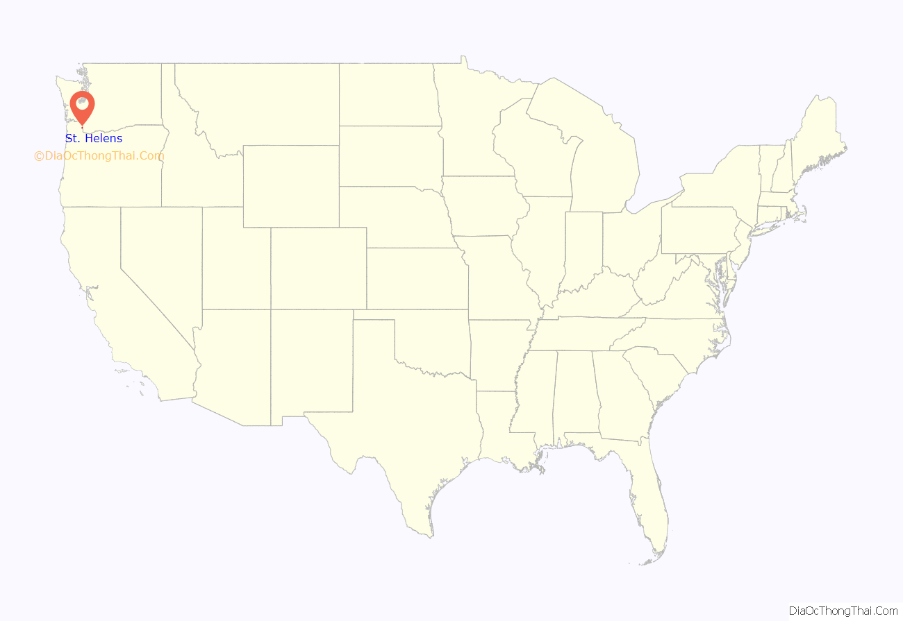
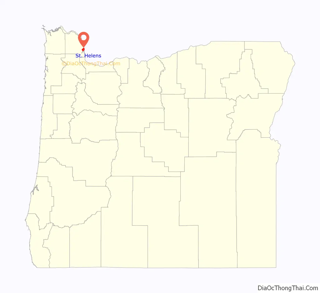
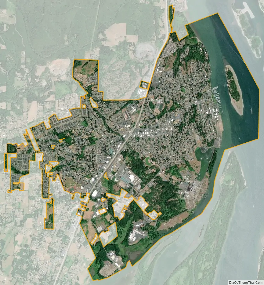
St. Helens location map. Where is St. Helens city?
History
St. Helens was established as a river port on the Columbia River in the 1840s. The original town was surveyed and platted by Scottish-born Peter Crawford. In 1853, the Pacific Mail Steamship Company tried to make the city their only stop on the Columbia River. Portland’s merchants boycotted this effort, and the San Francisco steamship Peytona helped break the impasse. St. Helens was incorporated as a city in 1889.
The Lewis and Clark Expedition passed through and camped in the area that is now St. Helens on the night of November 5, 1805, while on their way to the Pacific Ocean. While there, the party encountered Native Americans and Clark observed “low rockey clifts”.
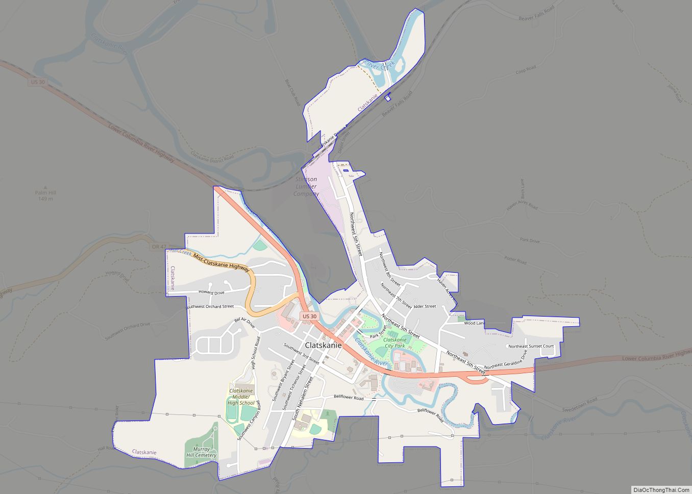
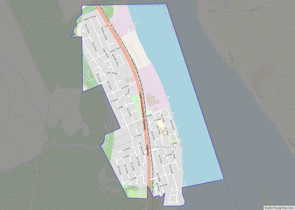
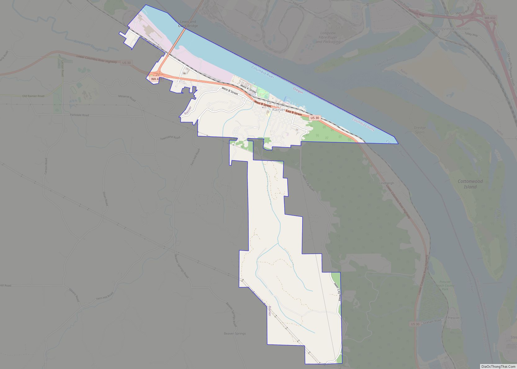
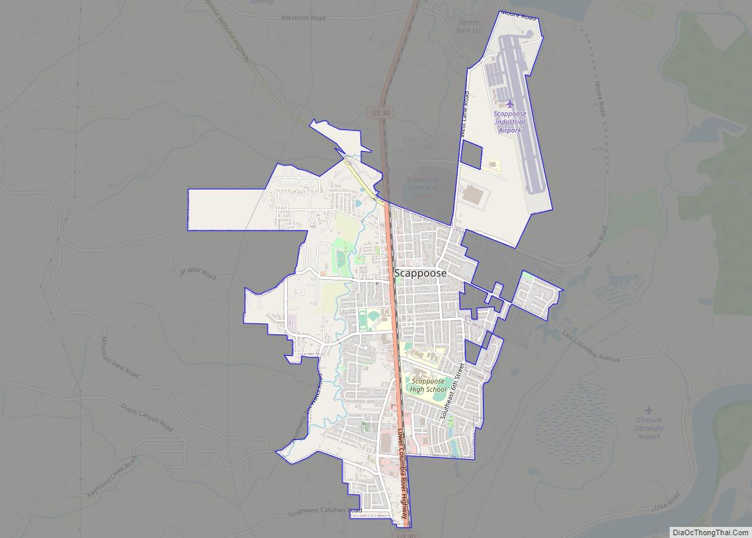
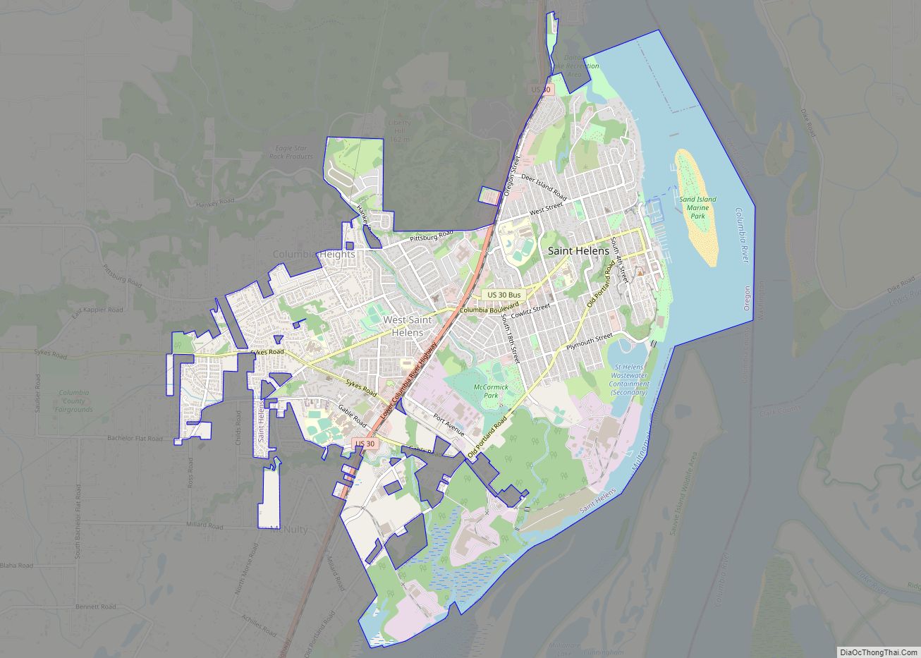
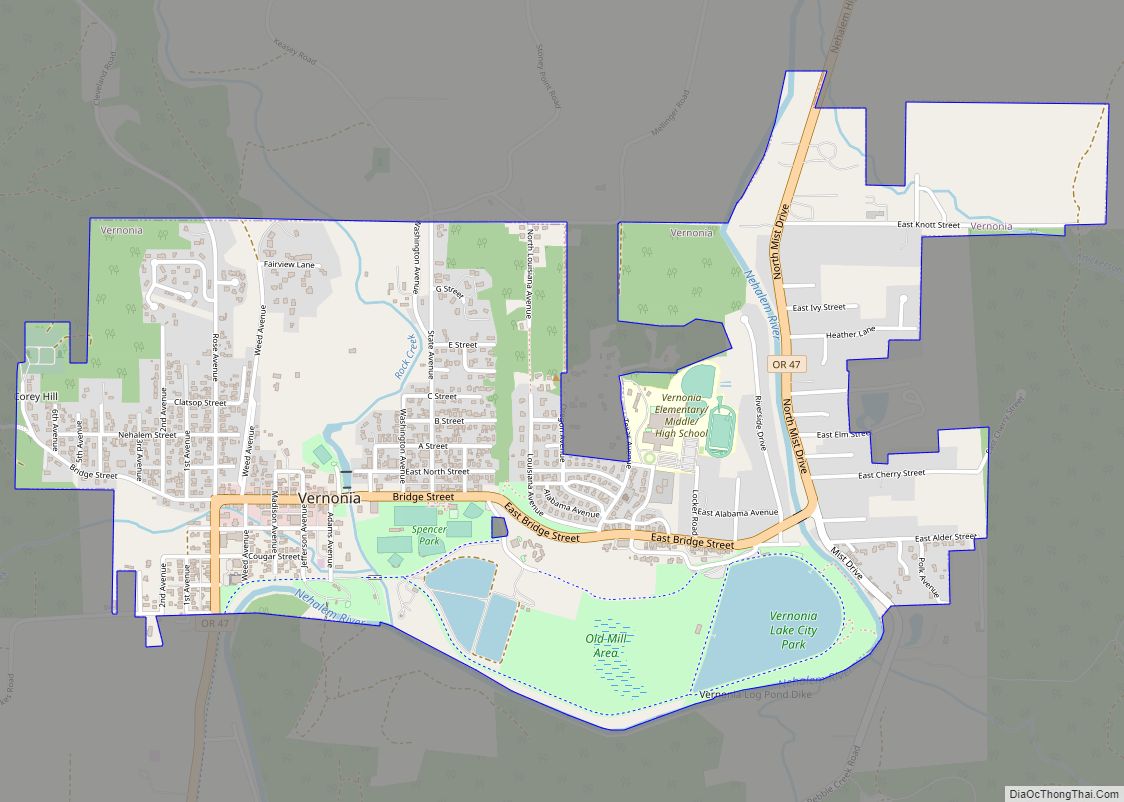
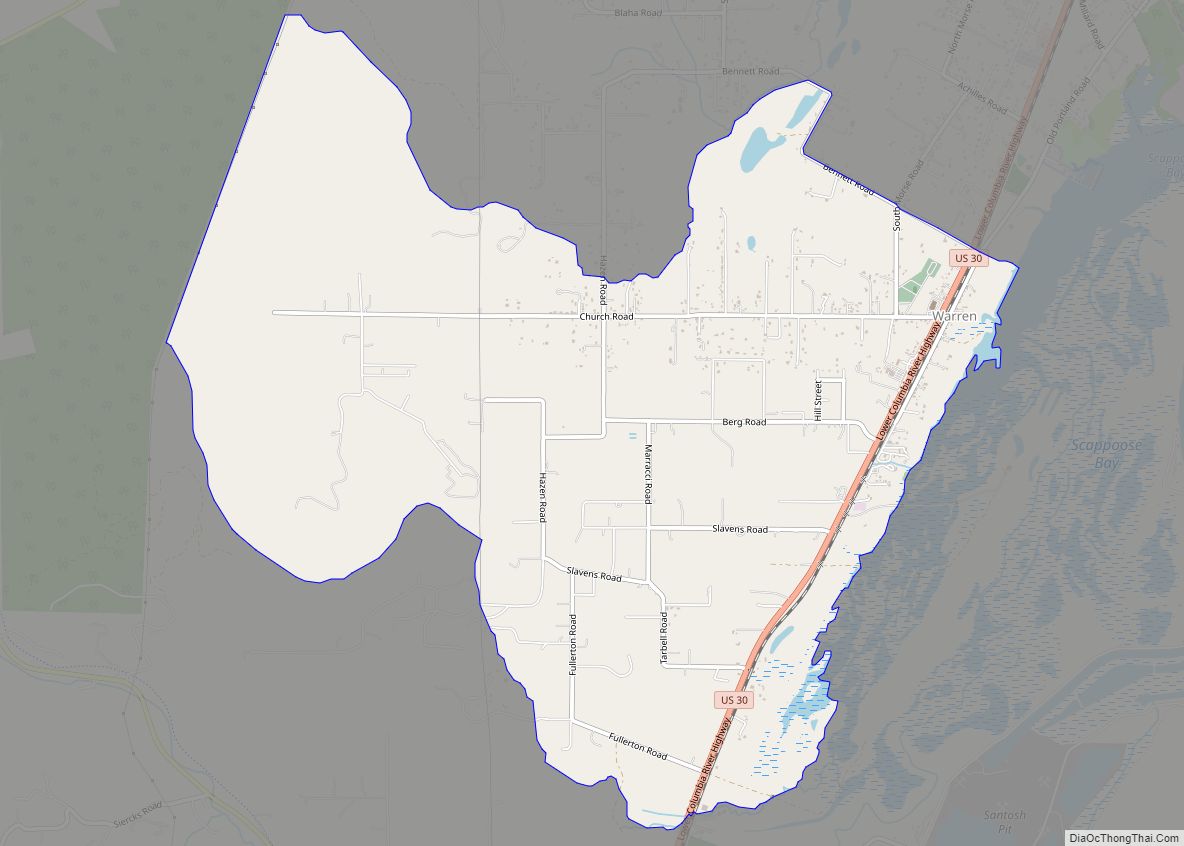
St. Helens Road Map
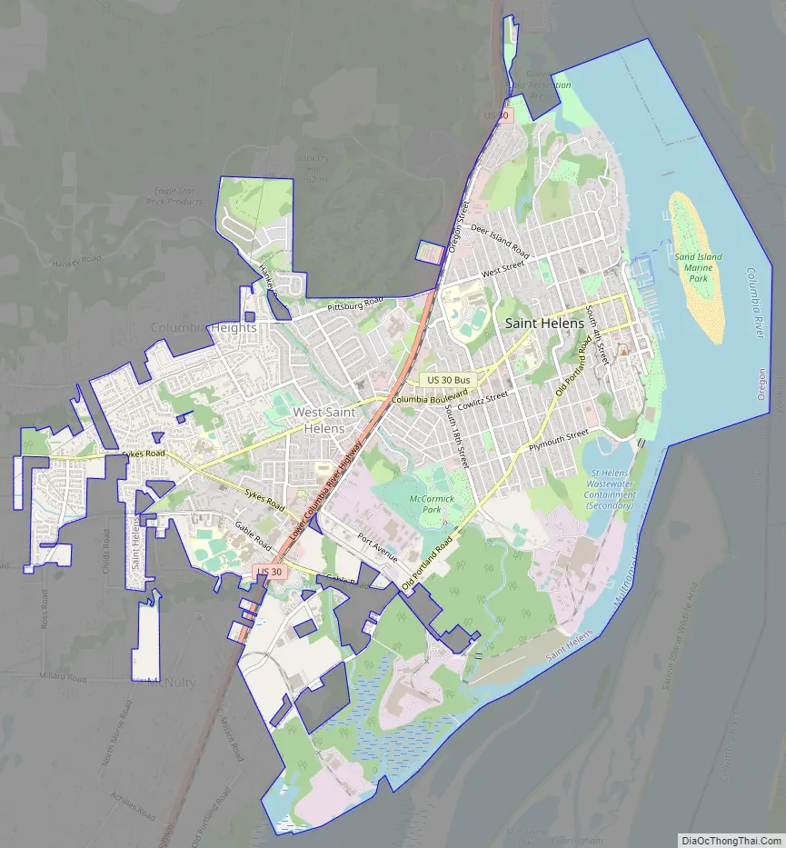
St. Helens city Satellite Map
Geography
U.S. Route 30 passes through the city. It is located along the west bank of the Columbia River north of where Multnomah Channel enters it. Milton Creek flows through the town, entering Multnomah Channel via Scappoose Bay.
According to the United States Census Bureau, the city has a total area of 5.51 square miles (14.27 km), of which 4.53 square miles (11.73 km) is land and 0.98 square miles (2.54 km) is covered by water.
See also
Map of Oregon State and its subdivision: Map of other states:- Alabama
- Alaska
- Arizona
- Arkansas
- California
- Colorado
- Connecticut
- Delaware
- District of Columbia
- Florida
- Georgia
- Hawaii
- Idaho
- Illinois
- Indiana
- Iowa
- Kansas
- Kentucky
- Louisiana
- Maine
- Maryland
- Massachusetts
- Michigan
- Minnesota
- Mississippi
- Missouri
- Montana
- Nebraska
- Nevada
- New Hampshire
- New Jersey
- New Mexico
- New York
- North Carolina
- North Dakota
- Ohio
- Oklahoma
- Oregon
- Pennsylvania
- Rhode Island
- South Carolina
- South Dakota
- Tennessee
- Texas
- Utah
- Vermont
- Virginia
- Washington
- West Virginia
- Wisconsin
- Wyoming