New Braunfels (/ˈbrɔːnfəlz/ (listen) BRAWN-fəlz) is a city in Comal and Guadalupe counties in the U.S. state of Texas known for its German Texan heritage. It is the seat of Comal County. The city covers 44.9 square miles (116 km) and had a population of 90,403 as of the 2020 Census. A suburb just north of San Antonio, and part of the Greater San Antonio metropolitan area, it was the third-fastest-growing city in the United States from 2010 to 2020.
| Name: | New Braunfels city |
|---|---|
| LSAD Code: | 25 |
| LSAD Description: | city (suffix) |
| State: | Texas |
| County: | Comal County, Guadalupe County |
| Founded: | 1845 (1845) |
| Elevation: | 630 ft (192 m) |
| Total Area: | 45.57 sq mi (118.02 km²) |
| Land Area: | 45.18 sq mi (117.01 km²) |
| Water Area: | 0.39 sq mi (1.00 km²) |
| Total Population: | 90,403 |
| Population Density: | 1,996.66/sq mi (770.92/km²) |
| Area code: | 830 |
| FIPS code: | 4850820 |
| GNISfeature ID: | 1342440 |
| Website: | newbraunfels.gov |
Online Interactive Map
Click on ![]() to view map in "full screen" mode.
to view map in "full screen" mode.
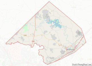
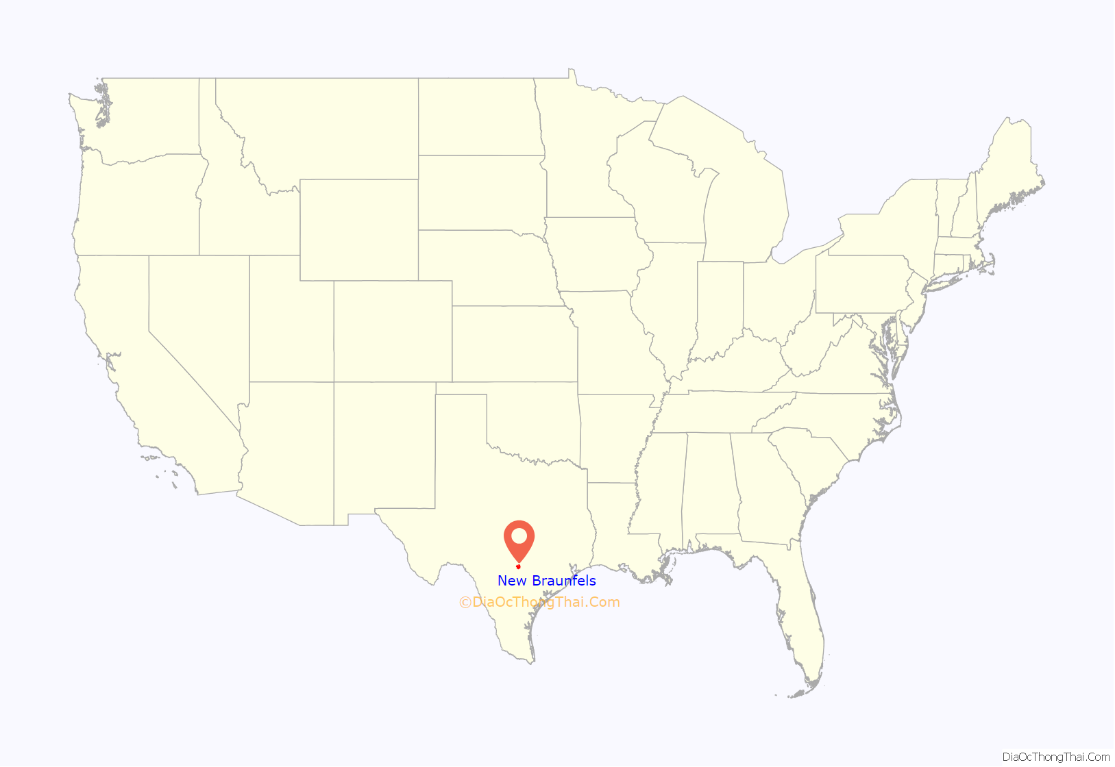
New Braunfels location map. Where is New Braunfels city?
History
New Braunfels was established in 1845 by Prince Carl of Solms-Braunfels, Commissioner General of the Mainzer Adelsverein, also known as the Noblemen’s Society. Prince Carl named the settlement in honor of his home of Solms-Braunfels, Germany.
The Adelsverein organized hundreds of people in Germany to settle in Texas. Immigrants from Germany began arriving at Galveston in July 1844. Most then traveled by ship to Indianola in December 1844, and began the overland journey to the Fisher-Miller land grant purchased by Prince Carl. At the urging of John Coffee Hays, who realized the settlers would not have time to build homes and plant crops further inland before winter, and as the German settlers were traveling inland along the Guadalupe River, they stopped near the Comal Springs. Prince Carl bought two leagues of land from Rafael Garza and Maria Antonio Veramendi Garza for $1,111.00.
The land was located northeast of San Antonio on El Camino Real de los Tejas and had the strong freshwater Comal Springs, known as Las Fontanas, when the Germans arrived. It was about halfway between Indianola and the lower portions of the Fisher-Miller land grant. The first settlers forded the Guadalupe River on Good Friday, March 21, 1845, near the present-day Faust Street bridge.
As the spring of 1845 progressed, the settlers built the “Zinkenburg”, a fort named for Adelsverein civil engineer Nicolaus Zink, divided the land, and began building homes and planting crops. Prince Carl would also lay the cornerstone for the Sophienburg, a permanent fort and center for the immigrant association.
In 1844, Prince Carl was so disillusioned with the logistics of the colonization that he asked the Verein to remove him as commissioner-general and appoint a successor. When John O. Meusebach arrived, the finances were in disarray, due in part to Prince Carl’s lack of business experience and his refusal to keep financial records. To a larger degree, the financial situation happened because the Adelsverein was an organization of noblemen with no practical backgrounds at running businesses. They were on the other side of the world and did not witness the situation with which both Prince Carl and Meusebach were dealing. Henry Francis Fisher had not supplied transport and supplies for which the Verein advanced money to him. Meusebach found Prince Carl in Galveston trying to return to Germany, detained by authorities for unpaid bills. Meusebach made good on the debts, so Prince Carl could depart.
Meusebach discovered that Prince Carl’s choice of the inadequate Carlshafen (Indianola) as a port of entry, as well as the isolated route to New Braunfels, was deliberately chosen to keep the Germans from interacting with any Americans. According to Nicolaus Zink, Prince Carl had planned to establish a German feudal state by secretly bringing in immigrants and placing them in military fortresses. Meusebach, who had renounced his own title of nobility, took a different approach and invited Americans to settle in the Vereins territory.
Prince Carl, being an officer of the Imperial Army of Austria, had kept a uniformed military unit at the ready in Indianola. Meusebach converted the military unit to a more needed work detail. A finance and business structure for the colony was put in place by Meusebach. He also provided for adequate food and shelter for the colonists. On August 11, 1845, Hermann Friedrich Seele became the first teacher for the German-English school in New Braunfels. Meusebach established friendly relations with a local tribe of Waco Indians. Upon seeing his reddish-blonde hair, they called him Ma-be-quo-si-to-mu, “Chief with the burning hair of the head”.
In May 1846, Meusebach received a letter from Count Castell informing him 4,304 emigrants were on their way to Texas. With no funds and no new settlements, the mass of emigrants was stalled at Carlshafen. Meusebach’s requests to the Verein for more money, and his warnings of pending bankruptcy for the Verein, brought no results. As a last resort, Meusebach instructed D.H. Klaener to publish the plight in the German news media. Embarrassed by the publicity, the Verein established a $60,000 letter of credit. The amount was not adequate for sustaining the total number of German emigrants in Texas, but Castell also sent Philip Cappes as special commissioner to observe the situation. Cappes had also been instructed by Castell to observe Meusebach and to secretly report back every detail. By the time Cappes departed in March 1847, he recommended another $200,000 be advanced.
Cappes invited Henry Francis Fisher to New Braunfels, in spite of Fisher not being entirely trustworthy to the Verein. As of February 11, 1845, Fisher had been involved in coercing newly arrived immigrants to sign documents stating their intent to depart from the Verein and align with Fisher’s friend Friedrich Schubbert, also known as Friedrich Strubberg.
Cappes was not in town when Meusebach was breakfast host to Fisher on December 31, 1846. Posters had mysteriously appeared about town maligning Meusebach, saying “Curses upon Meusebach the slave driver”, and inciting colonists to free themselves from his “tyranny”. A group led by Rudolph Iwonski pushed their way into Meusebach’s home, and colonist C. Herber brandished a whip. Herber was an alleged counterfeiter to whom Count Castell had awarded asylum. Meusebach and Herber shared a dislike of one another.
The colonists’ list of demands included Meusebach resigning as commissioner-general and turning the colonization over to Fisher. Meusebach kept his composure, but the group became so heated, they yelled, “Hang him!” When the estimated 120 men dispersed, Fisher was nowhere to be found. The same evening, a different group of individuals assembled and pledged to stand by Meusebach, the next day passing resolutions condemning the actions of the mob. Meusebach himself had considered leaving Texas as early as November 1845, when he wrote to Count Castell and announced his intention to resign and return to Germany. Meusebach did not feel the Adelsverein was organized enough to achieve its goals. After the mob visit in New Braunfels, he again submitted his resignation to accompany a financial report to Castell on January 23, 1847.
Meusebach had arranged with the Torrey Brothers for transporting the emigrants inland, but the United States hired the Torrey Brothers for use in the Mexican–American War.
Meusebach stabilized the community’s finances, and encouraged the settlers to establish additional neighboring communities. The largest of these secondary settlements was Fredericksburg, 80 miles (130 km) to the northwest of New Braunfels.
New Braunfels thrived, and by 1850, it was the fourth-largest city in Texas, with 1,723 people, following only Galveston, San Antonio, and Houston in population. In 1852, the Zeitung newspaper was established, edited by German Texan botanist Ferdinand Lindheimer. The newspaper continues to publish under its current name, the Herald-Zeitung.
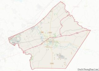
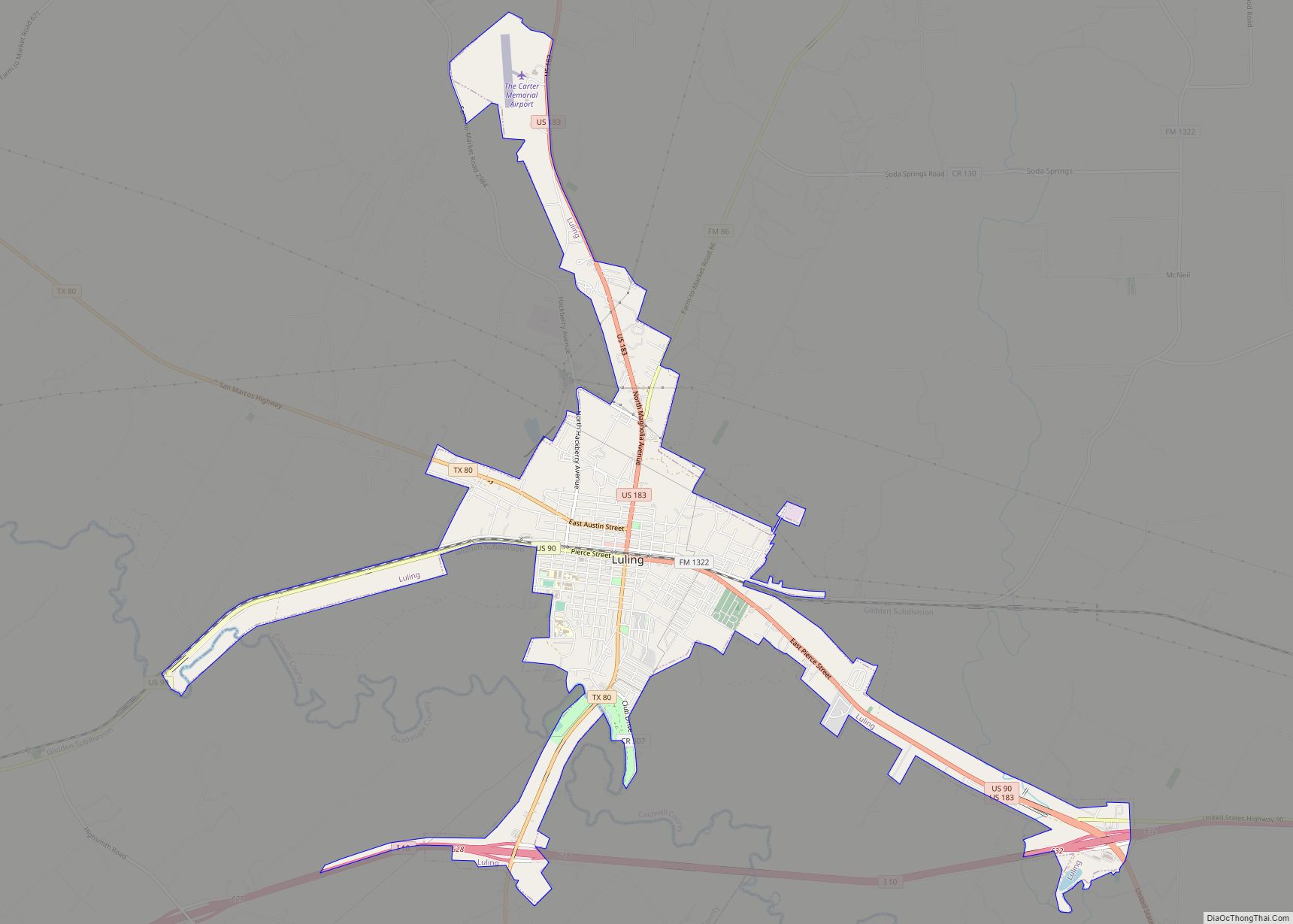
New Braunfels Road Map
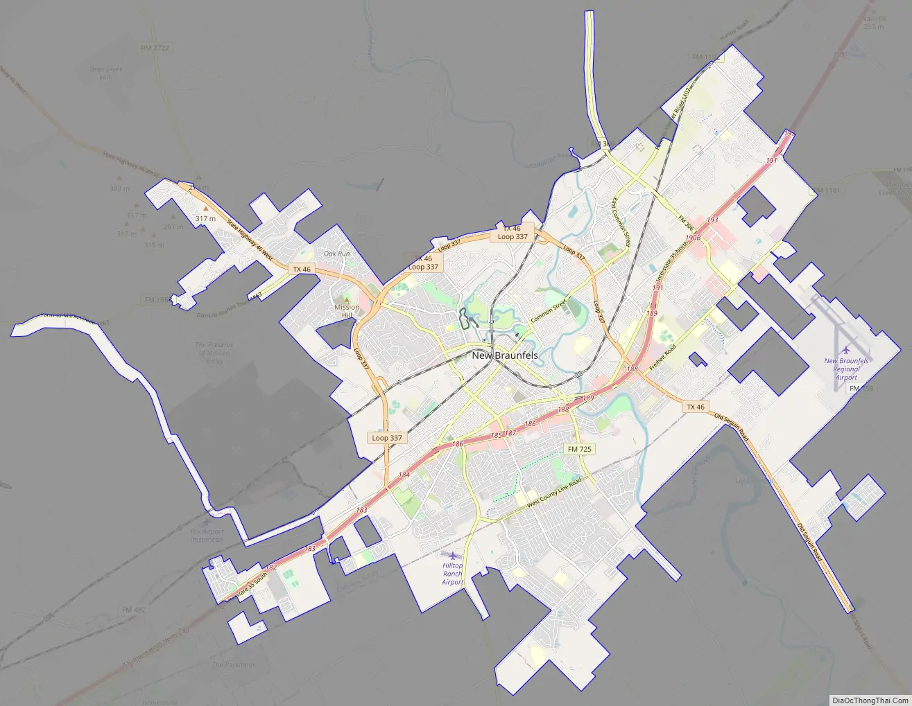
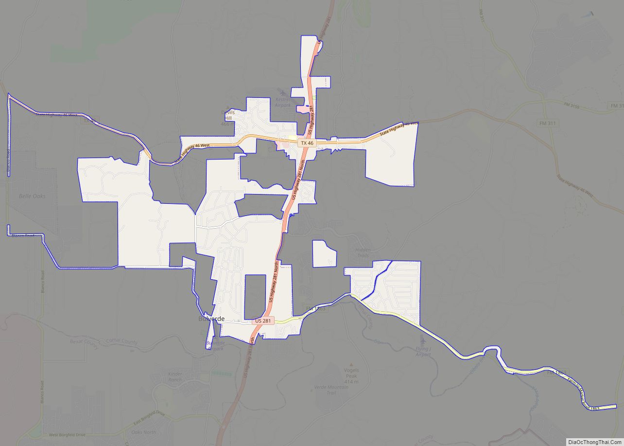
New Braunfels city Satellite Map
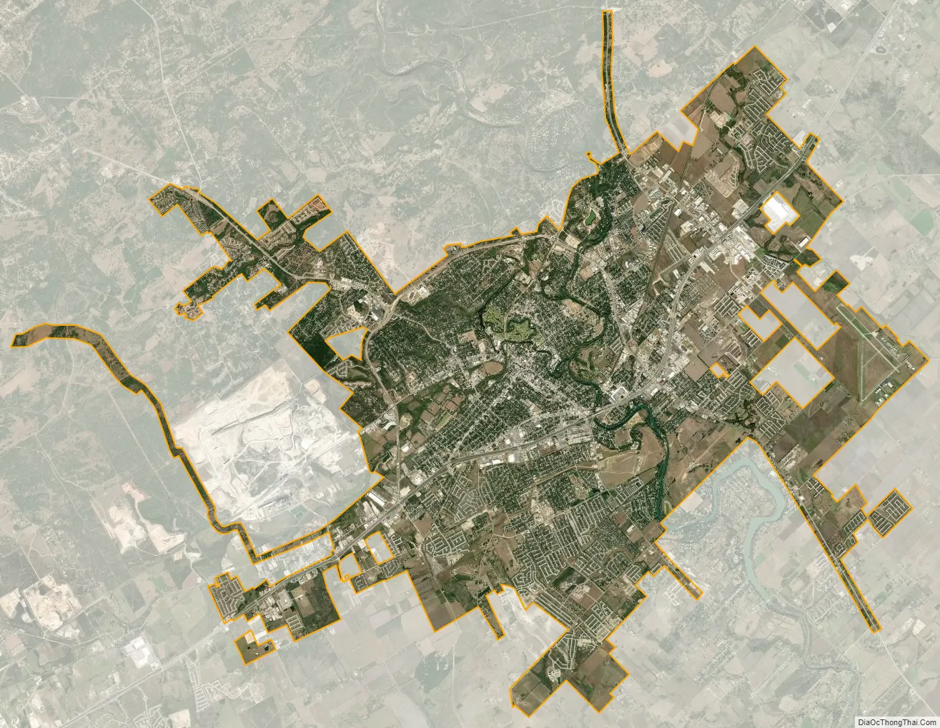
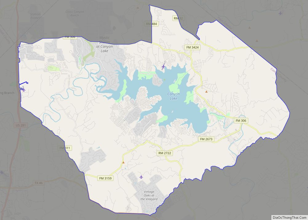
Geography
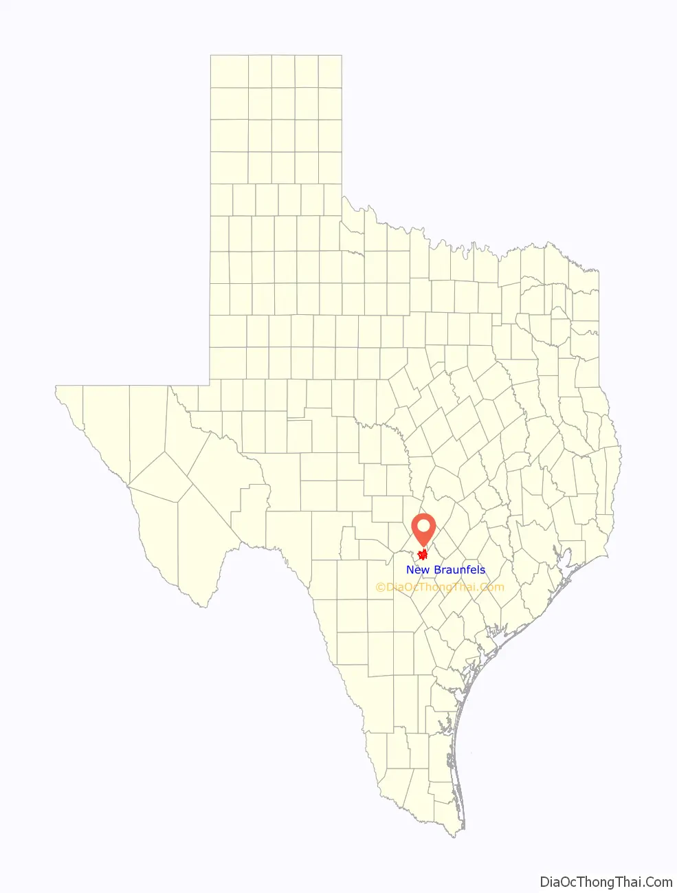
New Braunfels is located in southeastern Comal County. The city is 32 miles (51 km) northeast of Downtown San Antonio, 19 miles (31 km) southwest of San Marcos, and 48 miles (77 km) southwest of Austin.
According to the United States Census Bureau, New Braunfels has a total area of 44.9 square miles (116.4 km), of which 44.4 square miles (115.1 km) is land and 0.5 square miles (1.3 km), or 0.91%, is covered by water. The city is situated along the Balcones Fault, where the Texas Hill Country meets rolling prairie land. Along the fault in the city, a string of artesian springs known as Comal Springs gives rise to the Comal River, which is known as one of the shortest rivers in the world, as it winds 3 miles (5 km) through the city before meeting the Guadalupe River.
Gruene
Gruene Historical District is located within the city limits of New Braunfels. Founded by the sons of settlers Ernst and Antoinette Gruene, the community had a bank, post office, school, general store, lumberyard, gristmill, dance hall, and cotton gin. It also had access to two railways for shipping cotton bales. Its most famous attribute was the dance hall, a family activity in those days. Due to the failure of the cotton crop from boll weevils, and the failure of the banks after 1929, commercial activity slowed to a crawl. This village is now a Nationally Registered Historic District where one can dine in the ruins of the original gristmill or enjoy live music at Gruene Hall.
Climate
New Braunfels experiences a humid subtropical climate, with hot, humid summers and generally mild winters. Temperatures range from 100 °F (27.8 °C) in the summer to 49 °F (9.4 °C) during winter.
The city falls in USDA hardiness zones 8b (15 °F to 20 °F) and 9a (20 °F to 25 °F). New Braunfels and San Antonio, 32 miles (51 km) to the southwest, are some of the most flood-prone regions in North America. The October 1998 Central Texas floods were among the costliest floods in United States history, resulting in $750 million in damage and 32 deaths. In 2002, from June 30 to July 7, 35 in (890 mm) of rain fell in the area, resulting in widespread flooding and 12 fatalities.
In New Braunfels, July and August tie for the average warmest months, with an average high of 95 °F (35 °C). May, June, and October have quite a bit of precipitation. The average annual precipitation has been 35.74 inches (908 mm).
See also
Map of Texas State and its subdivision:- Anderson
- Andrews
- Angelina
- Aransas
- Archer
- Armstrong
- Atascosa
- Austin
- Bailey
- Bandera
- Bastrop
- Baylor
- Bee
- Bell
- Bexar
- Blanco
- Borden
- Bosque
- Bowie
- Brazoria
- Brazos
- Brewster
- Briscoe
- Brooks
- Brown
- Burleson
- Burnet
- Caldwell
- Calhoun
- Callahan
- Cameron
- Camp
- Carson
- Cass
- Castro
- Chambers
- Cherokee
- Childress
- Clay
- Cochran
- Coke
- Coleman
- Collin
- Collingsworth
- Colorado
- Comal
- Comanche
- Concho
- Cooke
- Coryell
- Cottle
- Crane
- Crockett
- Crosby
- Culberson
- Dallam
- Dallas
- Dawson
- Deaf Smith
- Delta
- Denton
- Dewitt
- Dickens
- Dimmit
- Donley
- Duval
- Eastland
- Ector
- Edwards
- El Paso
- Ellis
- Erath
- Falls
- Fannin
- Fayette
- Fisher
- Floyd
- Foard
- Fort Bend
- Franklin
- Freestone
- Frio
- Gaines
- Galveston
- Garza
- Gillespie
- Glasscock
- Goliad
- Gonzales
- Gray
- Grayson
- Gregg
- Grimes
- Guadalupe
- Hale
- Hall
- Hamilton
- Hansford
- Hardeman
- Hardin
- Harris
- Harrison
- Hartley
- Haskell
- Hays
- Hemphill
- Henderson
- Hidalgo
- Hill
- Hockley
- Hood
- Hopkins
- Houston
- Howard
- Hudspeth
- Hunt
- Hutchinson
- Irion
- Jack
- Jackson
- Jasper
- Jeff Davis
- Jefferson
- Jim Hogg
- Jim Wells
- Johnson
- Jones
- Karnes
- Kaufman
- Kendall
- Kenedy
- Kent
- Kerr
- Kimble
- King
- Kinney
- Kleberg
- Knox
- La Salle
- Lamar
- Lamb
- Lampasas
- Lavaca
- Lee
- Leon
- Liberty
- Limestone
- Lipscomb
- Live Oak
- Llano
- Loving
- Lubbock
- Lynn
- Madison
- Marion
- Martin
- Mason
- Matagorda
- Maverick
- McCulloch
- McLennan
- McMullen
- Medina
- Menard
- Midland
- Milam
- Mills
- Mitchell
- Montague
- Montgomery
- Moore
- Morris
- Motley
- Nacogdoches
- Navarro
- Newton
- Nolan
- Nueces
- Ochiltree
- Oldham
- Orange
- Palo Pinto
- Panola
- Parker
- Parmer
- Pecos
- Polk
- Potter
- Presidio
- Rains
- Randall
- Reagan
- Real
- Red River
- Reeves
- Refugio
- Roberts
- Robertson
- Rockwall
- Runnels
- Rusk
- Sabine
- San Augustine
- San Jacinto
- San Patricio
- San Saba
- Schleicher
- Scurry
- Shackelford
- Shelby
- Sherman
- Smith
- Somervell
- Starr
- Stephens
- Sterling
- Stonewall
- Sutton
- Swisher
- Tarrant
- Taylor
- Terrell
- Terry
- Throckmorton
- Titus
- Tom Green
- Travis
- Trinity
- Tyler
- Upshur
- Upton
- Uvalde
- Val Verde
- Van Zandt
- Victoria
- Walker
- Waller
- Ward
- Washington
- Webb
- Wharton
- Wheeler
- Wichita
- Wilbarger
- Willacy
- Williamson
- Wilson
- Winkler
- Wise
- Wood
- Yoakum
- Young
- Zapata
- Zavala
- Alabama
- Alaska
- Arizona
- Arkansas
- California
- Colorado
- Connecticut
- Delaware
- District of Columbia
- Florida
- Georgia
- Hawaii
- Idaho
- Illinois
- Indiana
- Iowa
- Kansas
- Kentucky
- Louisiana
- Maine
- Maryland
- Massachusetts
- Michigan
- Minnesota
- Mississippi
- Missouri
- Montana
- Nebraska
- Nevada
- New Hampshire
- New Jersey
- New Mexico
- New York
- North Carolina
- North Dakota
- Ohio
- Oklahoma
- Oregon
- Pennsylvania
- Rhode Island
- South Carolina
- South Dakota
- Tennessee
- Texas
- Utah
- Vermont
- Virginia
- Washington
- West Virginia
- Wisconsin
- Wyoming