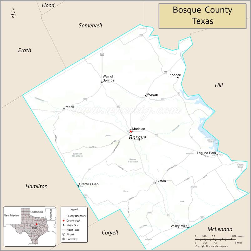
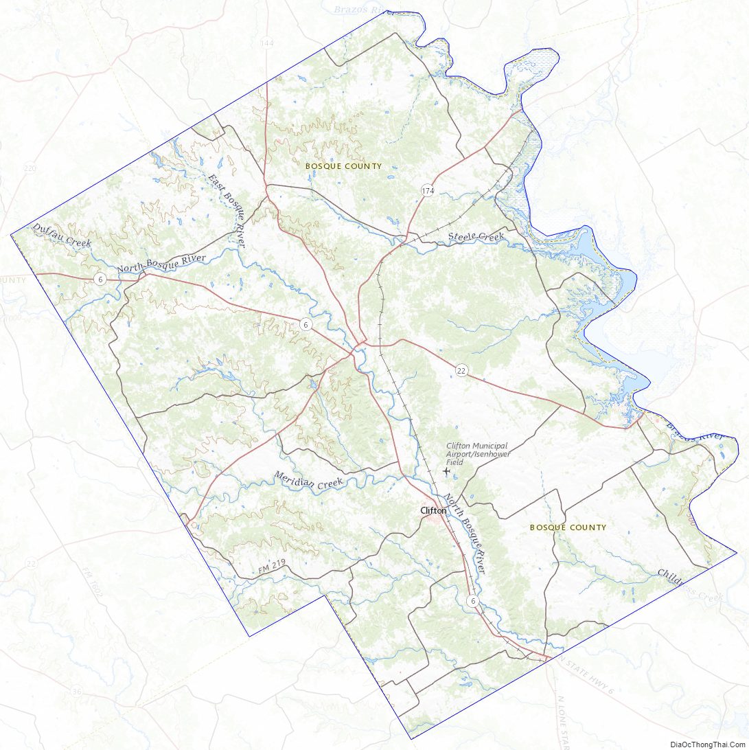
Bosque County (/ˈbɒski/ BOS-kee) is a county located on the Edwards Plateau in the U.S. state of Texas. As of the 2020 census, the population was 18,235. Its county seat is Meridian, while Clifton is the largest city and the cultural/financial center of the county. The county is named for the Bosque River, which runs through the center of the county north to south. The Brazos River makes up the eastern border along with the Lake Whitney reservoir it feeds.
Since 2015, Bosque County has been represented in the Texas House of Representatives by the Republican DeWayne Burns. The previous 10-year representative was the Republican Rob Orr of Burleson.
| Name: | Bosque County |
|---|---|
| FIPS code: | 48-035 |
| State: | Texas |
| Founded: | 1854 |
| Named for: | Bosque River |
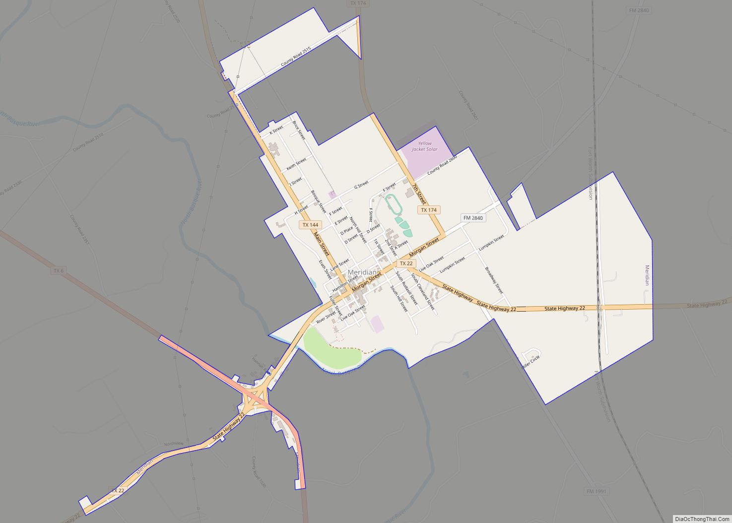
| Seat: | Meridian |
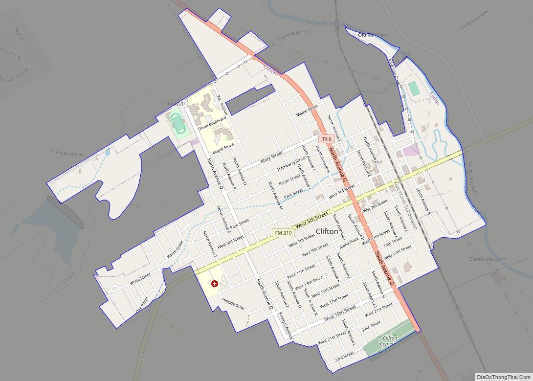
| Largest city: | Clifton |
| Total Area: | 1,003 sq mi (2,600 km²) |
| Land Area: | 983 sq mi (2,550 km²) |
| Total Population: | 18,235 |
| Population Density: | 18/sq mi (7.0/km²) |
| Time zone: | UTC−6 (Central) |
| Summer Time Zone (DST): | UTC−5 (CDT) |
| Website: | www.bosquecounty.us |
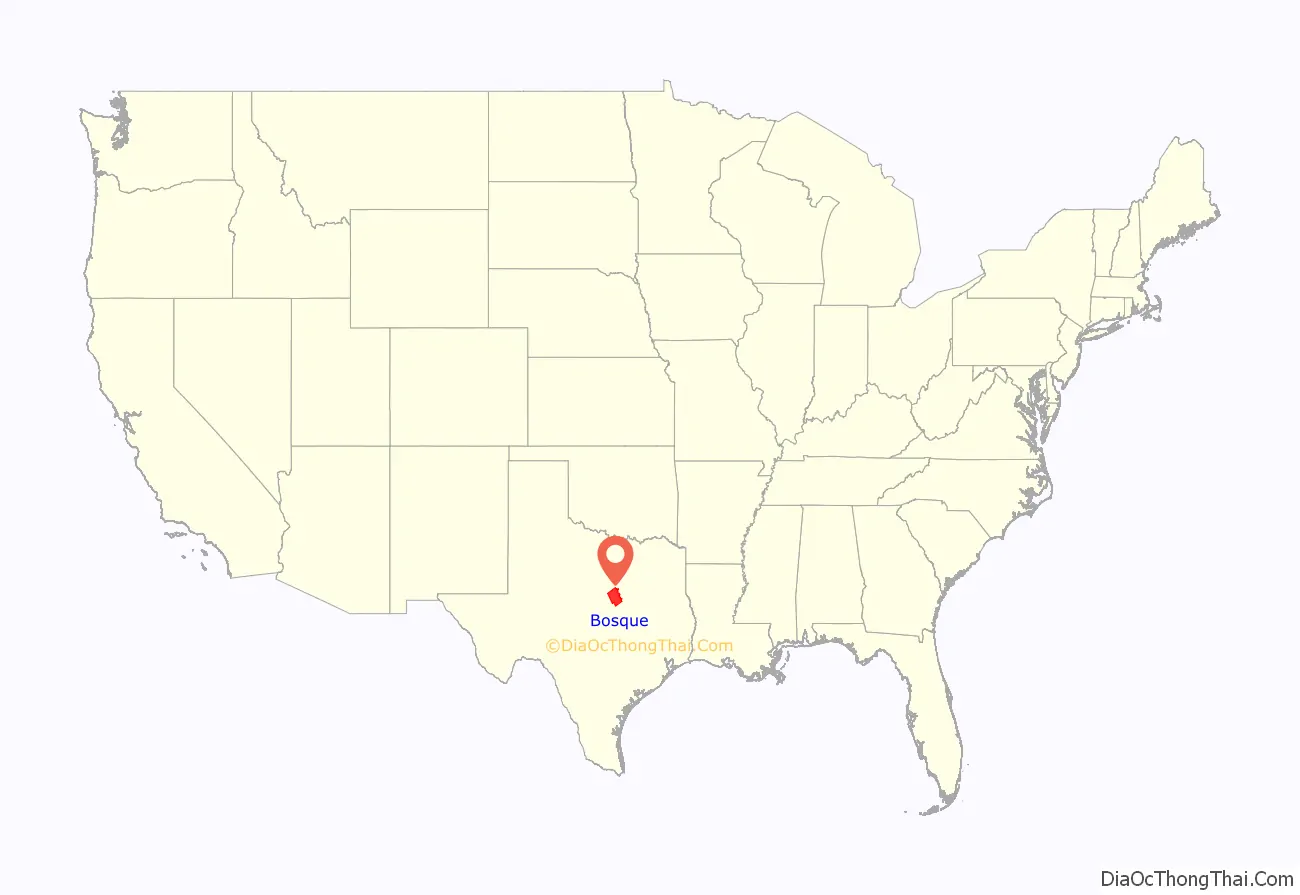
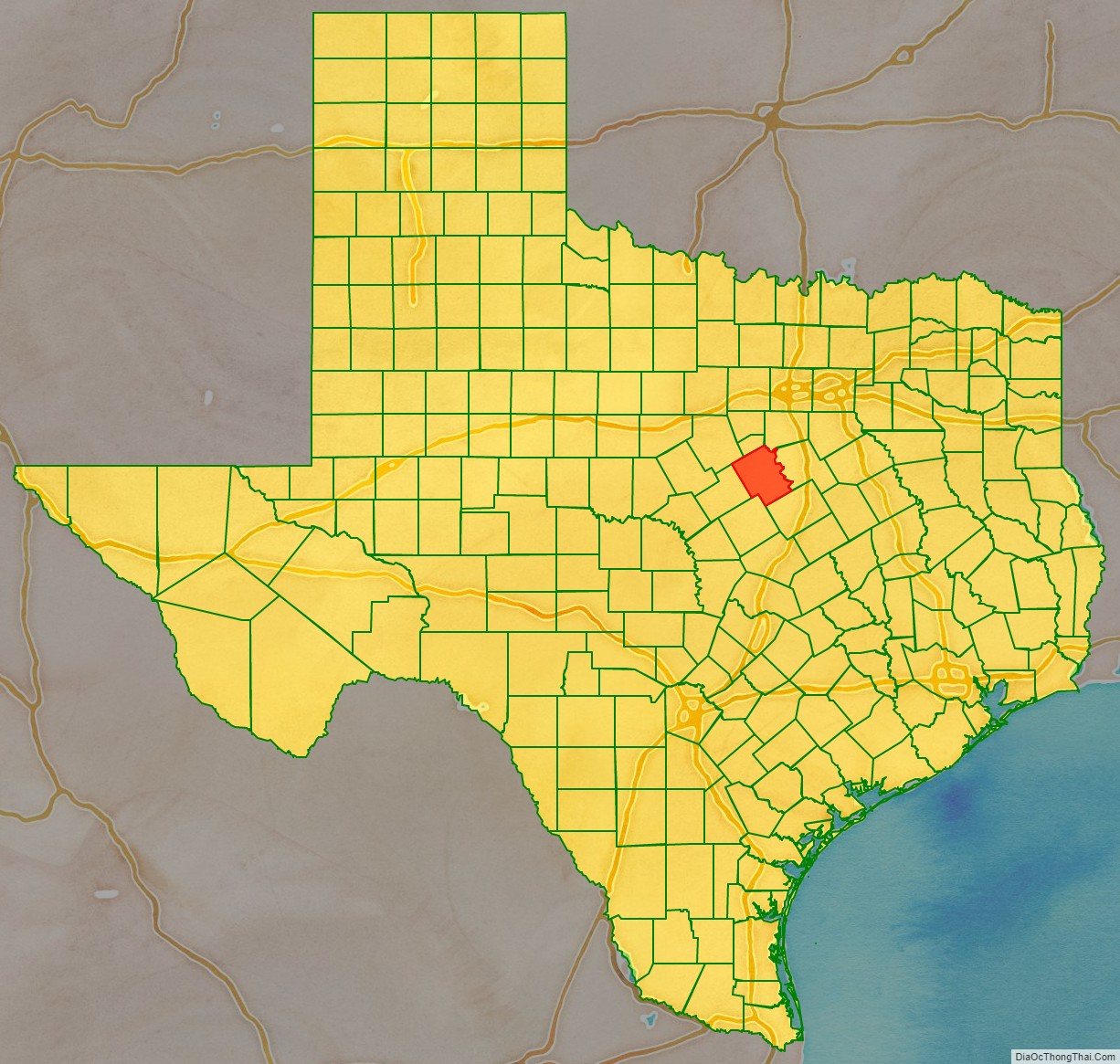
Bosque County location map. Where is Bosque County?
History
In 1721, while traveling from San Antonio de Béxar to a mission in East Texas, the Marqués de San Miguel de Aguayo ventured north from the Old San Antonio Road, and camped along the Brazos River. Near his camp was also a tributary of the Brazos, which he named the Bosque, Spanish for forest. This was the first recorded European expedition through the region.
Until the 1850s, settlement of the region that was to become Bosque County remained sparse. About a decade previous, some members of the ill-fated Texan Santa-Fe Expedition of 1841, which passed through the area, chose to stay. One particularly noteworthy attempt at settlement was the town of Kent. In 1850, the Universal Immigration Company of England purchased land for a townsite on the west side of the Brazos. After several years, 30 families were sent over by the company to settle the land, but the newly established community barely survived the first winter, suffering a number of fatalities. The following spring, the settlers planned to right the course of the settlement by purchasing some cattle and seed corn. This plan, too, would go awry, as the cattle would eat the corn before it could be harvested, because no fence was built around the corn. Eventually, the town of Kent dissolved, with most of the settlers choosing to go elsewhere, including some who returned to England.
Bosque County was officially created in 1854, being separated from McLennan County. The first election included 3 ballot boxes: one at the junction of Steele Creek and the Brazos River, one in Meridian, and another at a live oak between Clifton and Valley Mills. This live oak became known as the Bosque County Oak. Locally the oak is known as the “Election Oak”.
The voters at the first election were L. H. Scrutchfield, J. K. Helton, J. N. Mabray, Capt. Underhill, James Mabray, William Gary, Gafey Gary, Isaac Gary, Matt Gary, John Robertson, John Thomas, F. M. Kell, Archie Kell, William McCurry, Jack McCurry, Lum McCurry, Samuel Locker, Nathaniel Morgan, R. S. Barnes, J. P. Locker. They elected the following county officers: L. H. Scrutchfield, Judge; P. Bryant, Sheriff; J. N. Mabray, Clerk; Isaac Gary, Assessor and Collector; Archabal Kell, Treasurer.
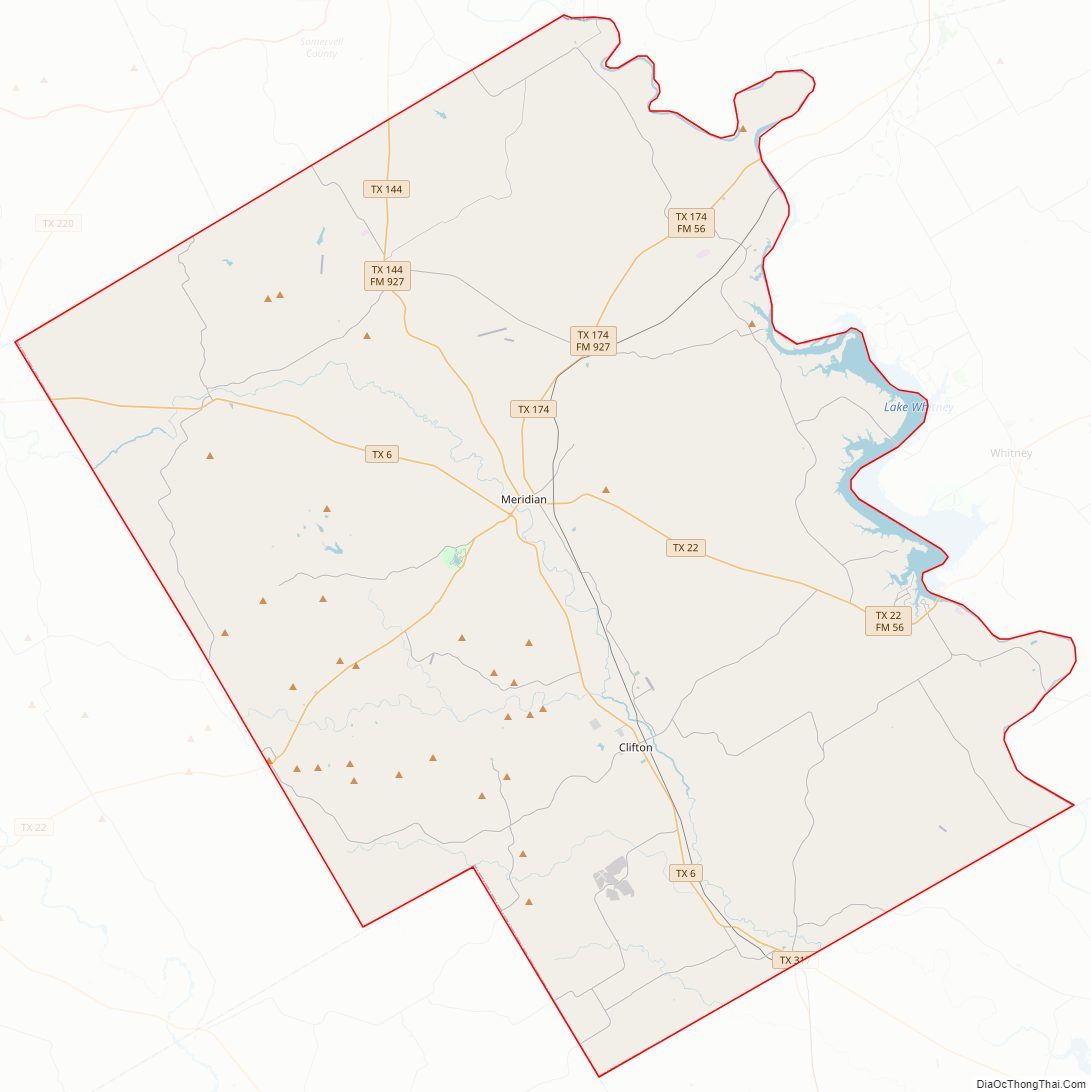
Bosque County Road Map
Geography
According to the U.S. Census Bureau, the county has a total area of 1,003 sq mi (2,600 km), of which 983 sq mi (2,550 km) are land and 20 square miles (52 km) (2.0%) are covered by water.
Major highways
- State Highway 6
- State Highway 22
- State Highway 144
- State Highway 174
Adjacent counties
- Somervell County (north)
- Johnson County (northeast)
- Hill County (east)
- McLennan County (southeast)
- Coryell County (south)
- Hamilton County (west)
- Erath County (northwest)
Bosque County Topographic Map
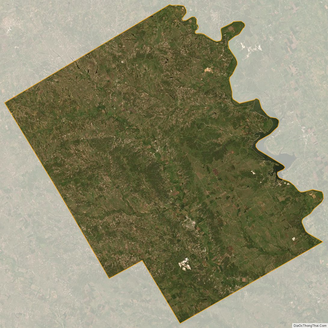
Bosque County Satellite Map
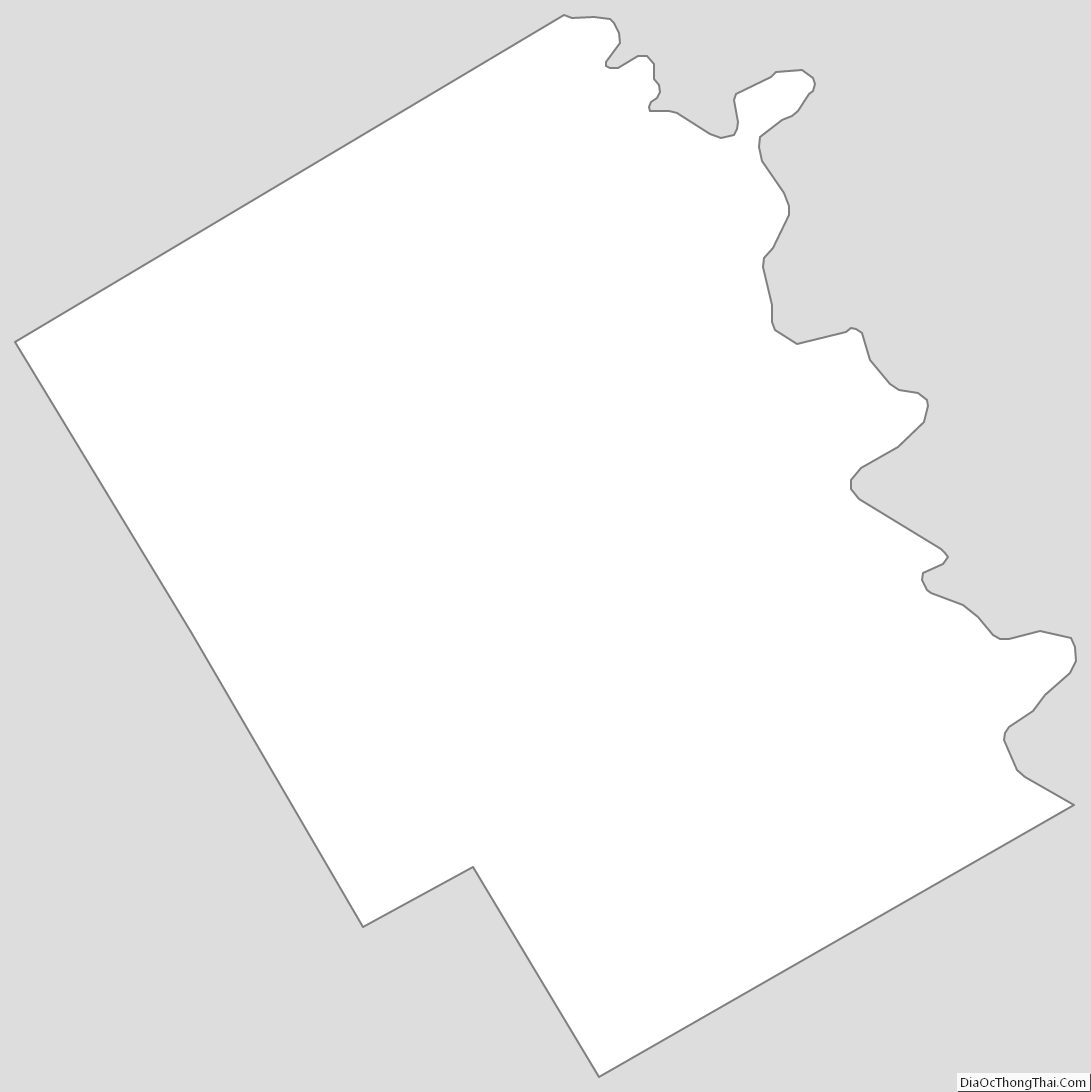
Bosque County Outline Map