Cook County is the easternmost county in the U.S. state of Minnesota. As of the 2020 census, the population was 5,600, making it Minnesota’s seventh-least populous county. Its county seat is Grand Marais. The Grand Portage Indian Reservation is in the county.
| Name: | Cook County |
|---|---|
| FIPS code: | 27-031 |
| State: | Minnesota |
| Founded: | March 9, 1874 |
| Named for: | Michael Cook |
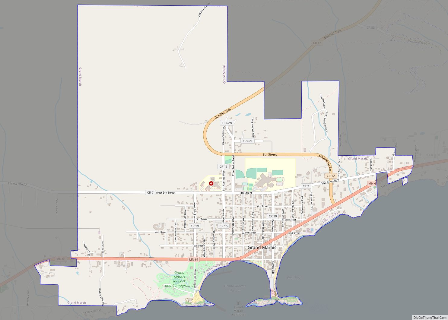
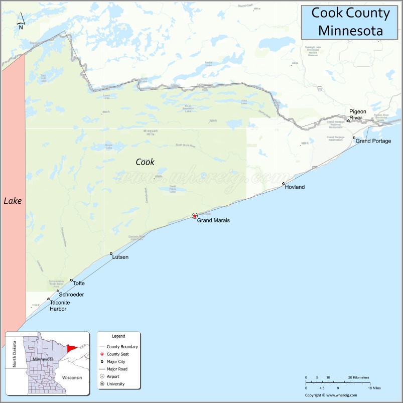
| Seat: | Grand Marais |
| Largest city: | Grand Marais |
| Total Area: | 3,340 sq mi (8,700 km²) |
| Land Area: | 1,452 sq mi (3,760 km²) |
| Total Population: | 5,600 |
| Population Density: | 1.7/sq mi (0.65/km²) |
| Time zone: | UTC−6 (Central) |
| Summer Time Zone (DST): | UTC−5 (CDT) |
| Website: | www.co.cook.mn.us |
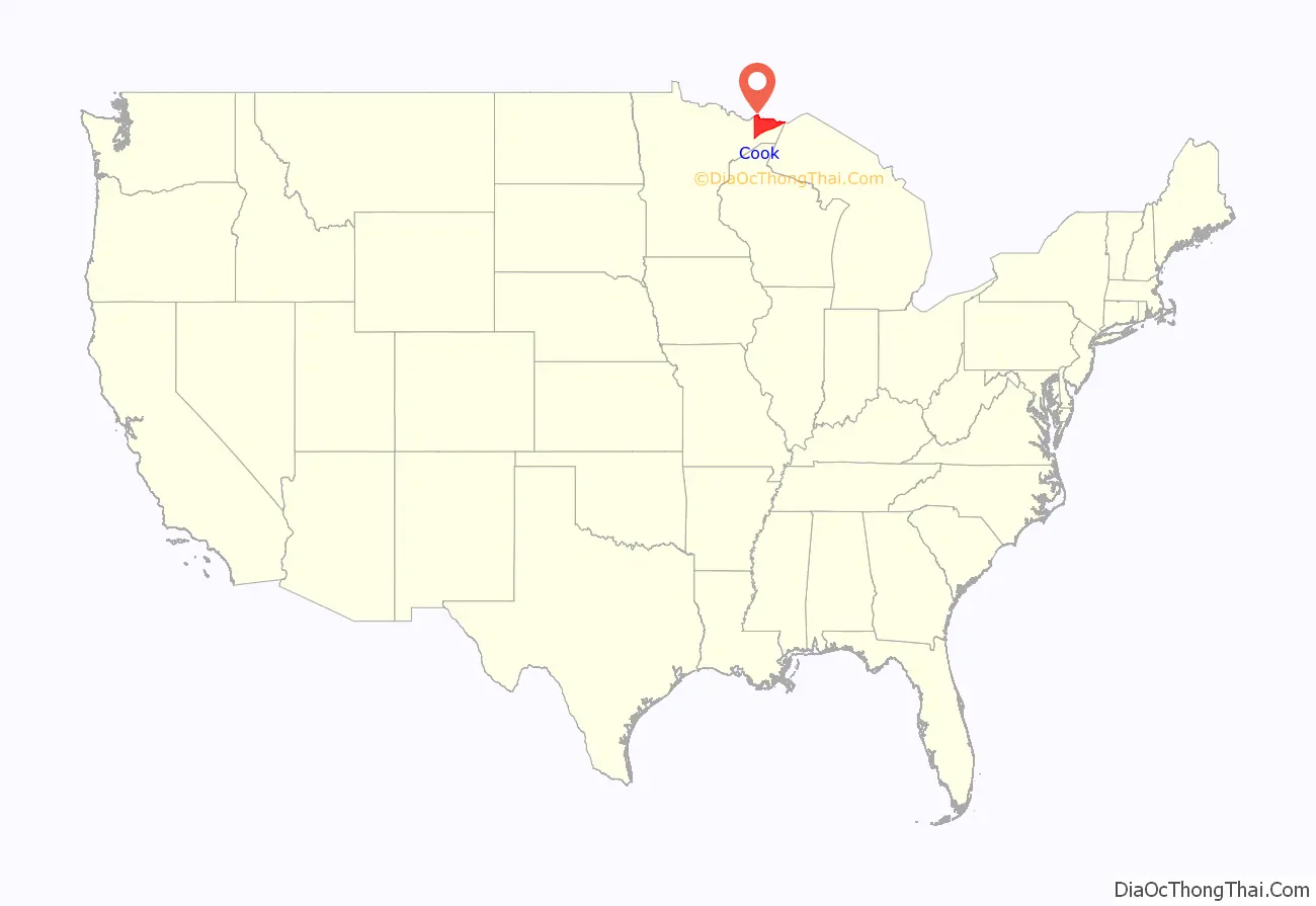
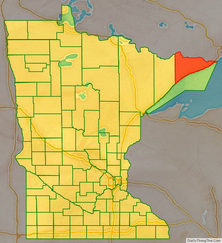
Cook County location map. Where is Cook County?
History
Ojibwe people were early inhabitants of this area. The first non-indigenous people to explore the area were French fur traders, a few of whom settled in the area. By the 1830s, the French population was a few dozen. In the 1830s, settlers began arriving from New England and from upstate New York. Completion of the Erie Canal (1825) and settling of the Black Hawk War (1831) made migration easier.
Most of Cook County’s 1830s settlers came from Orange County, Vermont and Down East Maine (modern day Washington County and Hancock County). Most were fishermen and farmers. By 1845 the future Cook County contained 350 people of European descent; by 1874 there were about 2,000. They were primarily members of the Congregational Church, Methodist, and Baptist churches. By 1900 there were about 3,000 people in Cook County.
The first decade of the 20th century saw a large influx of Europeans from Germany, Scandinavia, and Ireland. These waves introduced Lutheranism and Catholicism to Cook County.
The county was created on March 9, 1874. It was named for Territorial and State Senator Michael Cook.
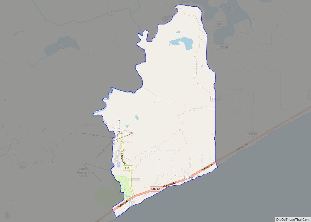
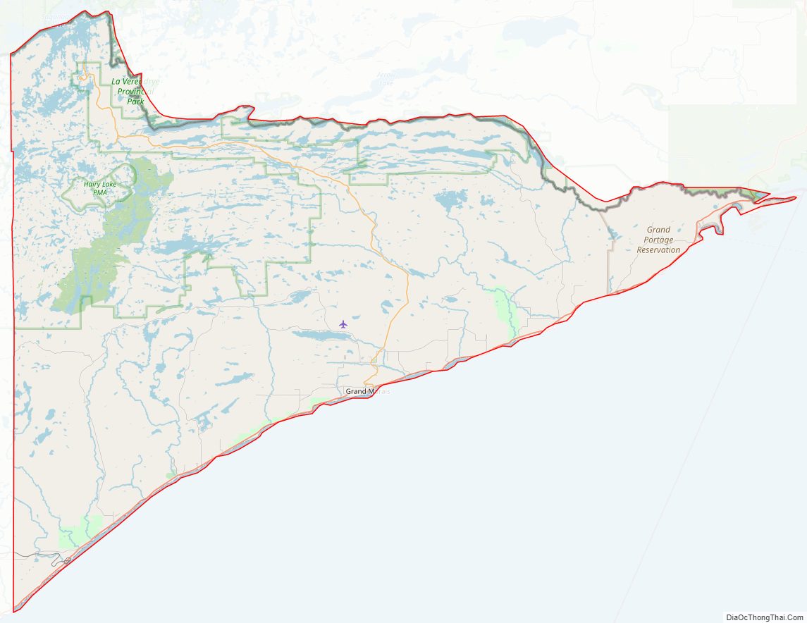
Cook County Road Map
Geography
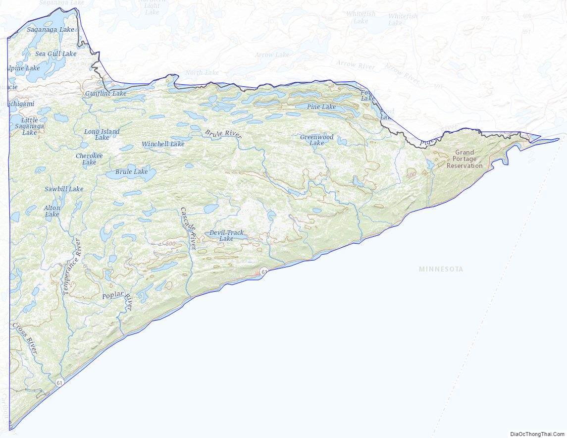
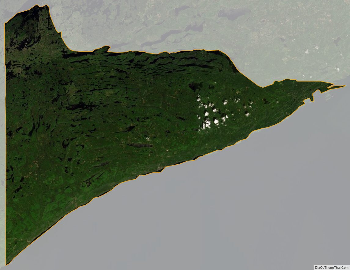
Cook County is a rugged, heavily wooded triangle of land on Minnesota’s northeastern tip. It abuts Canada‘s southern border and is largely surrounded by the northern end of the Great Lakes. It is heavily dotted with lakes, ponds and streams. The state’s highest point is in the county, at 2,301’ (701m) ASL. The county has an area of 3,340 square miles (8,700 km), of which 1,452 square miles (3,760 km) is land and 1,887 square miles (4,890 km) (57%) is water. It is Minnesota’s second-largest county by area. Minnesota’s highest natural point, Eagle Mountain at 2,301 feet (701 m), and highest lake, Lake Abita at 2,048 feet (624 m), are in Cook County. Lake Superior is at the county’s southern border.
Major highways
- Minnesota State Highway 61
- Cook County Road 12 – Gunflint Trail
Adjacent counties
Cook County is in the extreme northeast of the state at the tip of the Arrowhead region; it is adjacent to only one other county by land. Its geographic neighbors are:
- Rainy River District, Ontario Canada – northwest
- Thunder Bay District, Ontario Canada – northeast (EST Border east of the 90th meridian west)
- Lake County – west
- Ashland County, Wisconsin – south
- Keweenaw County, Michigan – east/EST Border
- Ontonagon County, Michigan – southeast/EST Border
Protected areas
- Cascade River State Park
- Grand Portage National Monument
- Judge C. R. Magney State Park
- Kodunce River State Wayside Area
- North Shore State Trail (part)
- Pat Bayle State Forest
- Superior National Forest (part)
- Boundary Waters Canoe Area Wilderness (part)
- Temperance River State Park
Cook County Topographic Map
Cook County Satellite Map
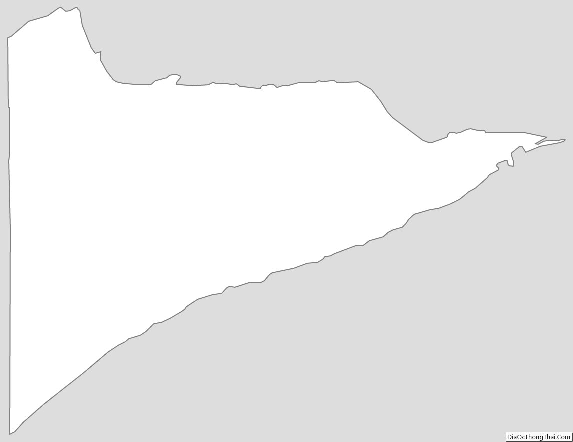
Cook County Outline Map