Coos County (/kuːs/ KOOSS) is one of the 36 counties in the U.S. state of Oregon. As of the 2020 census, the population was 64,929. The county seat is Coquille. The county was formed from the western parts of Umpqua and Jackson counties. It is named after a tribe of Native Americans who live in the region. Coos County comprises the Coos Bay, OR Micropolitan Statistical Area.
| Name: | Coos County |
|---|---|
| FIPS code: | 41-011 |
| State: | Oregon |
| Founded: | December 22, 1853 |
| Named for: | Coos people |
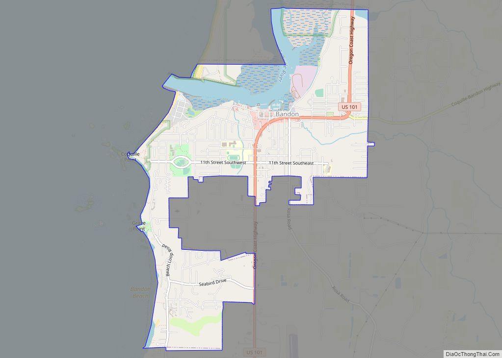
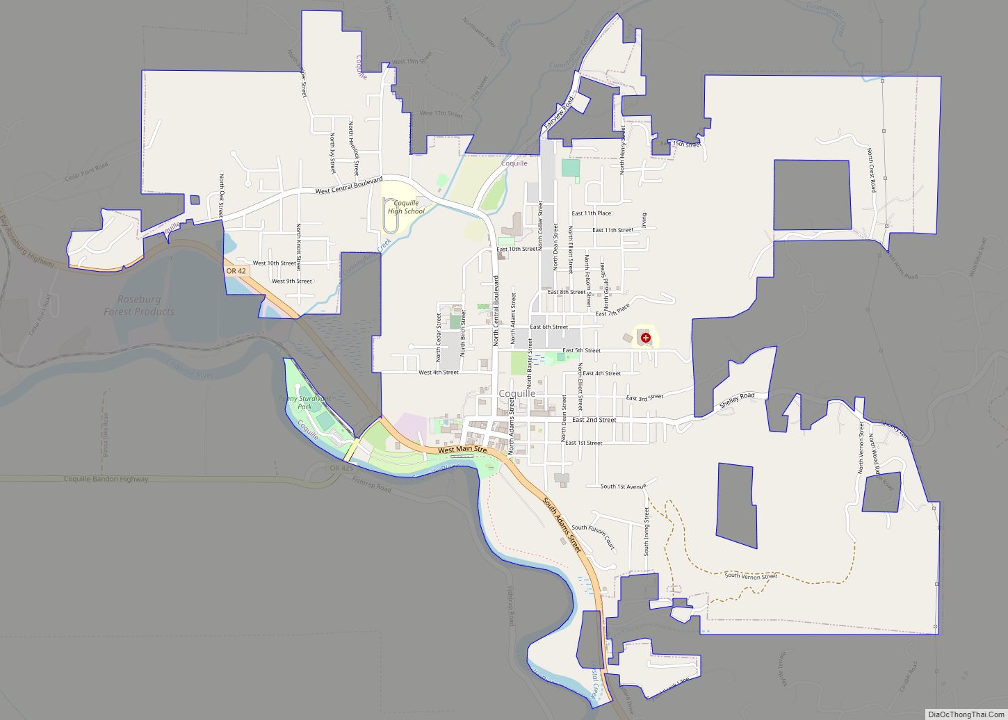
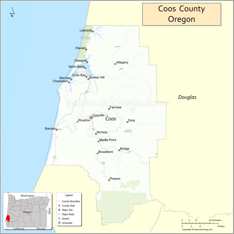
| Seat: | Coquille |
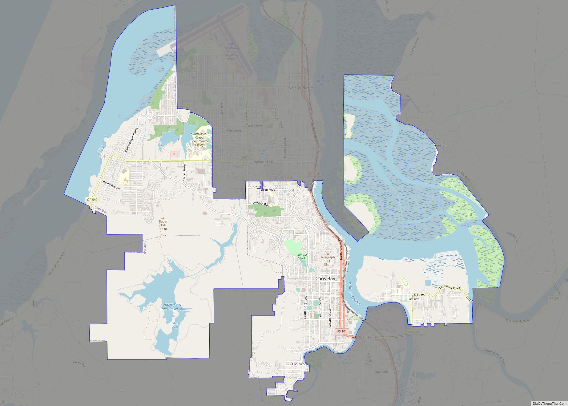
| Largest city: | Coos Bay |
| Total Area: | 1,806 sq mi (4,680 km²) |
| Land Area: | 1,596 sq mi (4,130 km²) |
| Total Population: | 64,929 |
| Population Density: | 39/sq mi (15/km²) |
| Time zone: | UTC−8 (Pacific) |
| Summer Time Zone (DST): | UTC−7 (PDT) |
| Website: | www.co.coos.or.us |
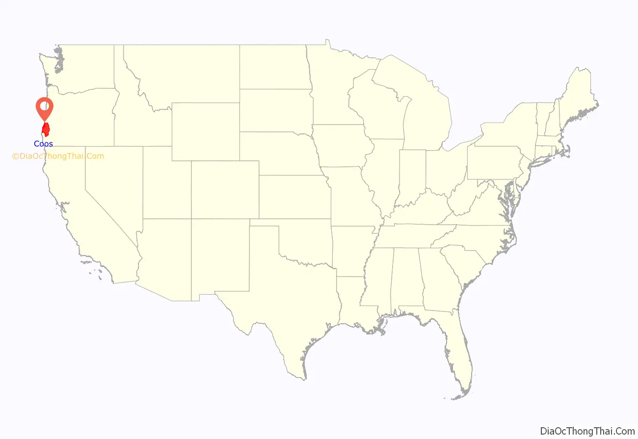
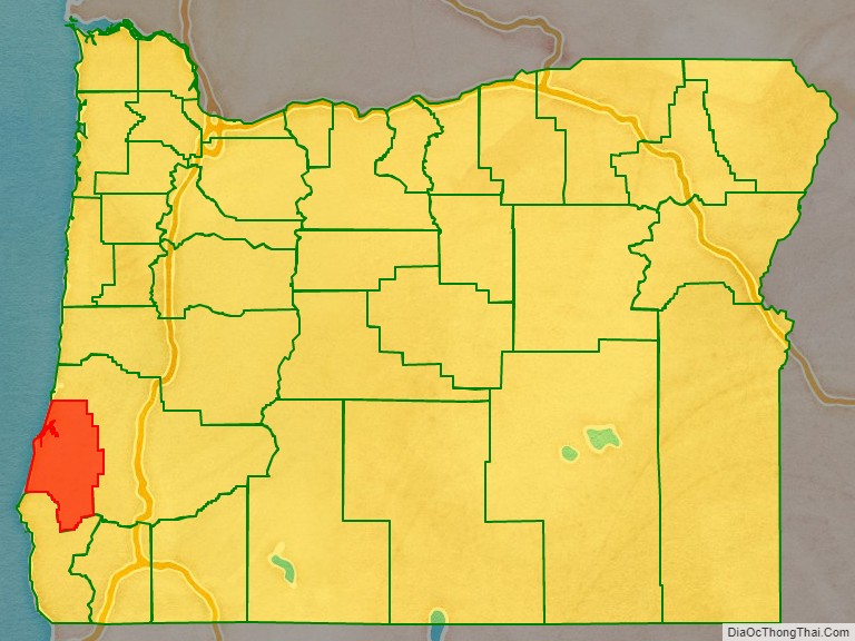
Coos County location map. Where is Coos County?
History
The name Coos originated from the name of the Native American tribe that had settled the area. “Coos” loosely translates to “lake” or “place of pines”. Lewis and Clark noted Cook-koo-oose. Early maps and documents spelled it Kowes, Cowes, Coose, Koos, among others.
Although exploration and trapping in the area occurred as early as 1828, the first European-American settlement was established at Empire City in 1853 by members of the Coos Bay Company; this is now part of Coos Bay, Oregon.
Coos County was created by the Territorial Legislature from parts of Umpqua, and Jackson counties on December 22, 1853. Curry County, Oregon, was created from the southern part in 1855. The county seat was originally at Empire City. In 1895 the legislature permitted the citizens of the county to choose a new county seat. The 1896 vote resulted in moving the seat to Coquille.
The Territorial Legislature granted permission for the development of wagon roads from Coos Bay to Jacksonville, Oregon, in 1854, and to Roseburg, Oregon, in 1857.
Coos County Road Map
Geography
According to the United States Census Bureau, the county has a total area of 1,806 square miles (4,680 km), of which 1,596 square miles (4,130 km) is land and 210 square miles (540 km) (12%) is water.
Adjacent counties
- Douglas County – north and east
- Curry County – south
National protected areas
- Bandon Marsh National Wildlife Refuge
- Oregon Islands National Wildlife Refuge (part)
- Siskiyou National Forest (part)
- Siuslaw National Forest (part)
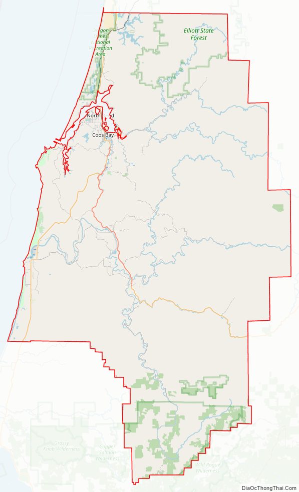
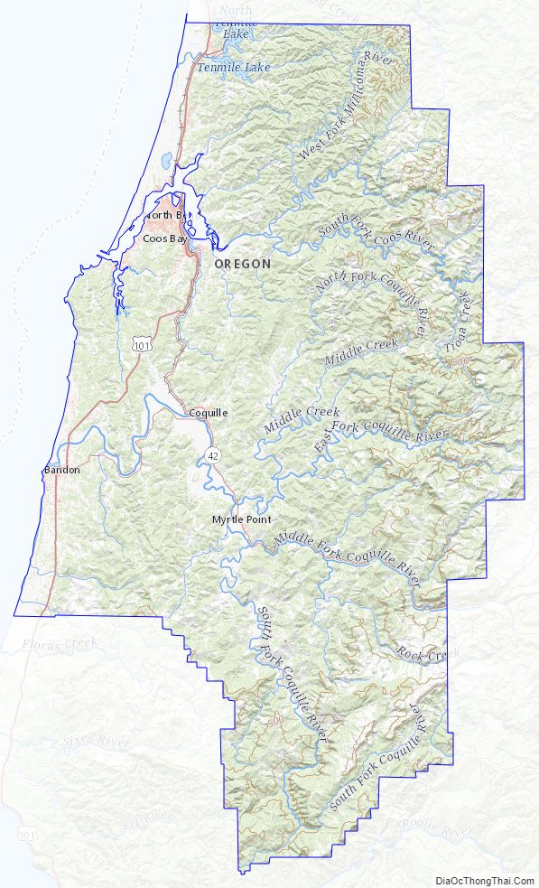
Coos County Topographic Map
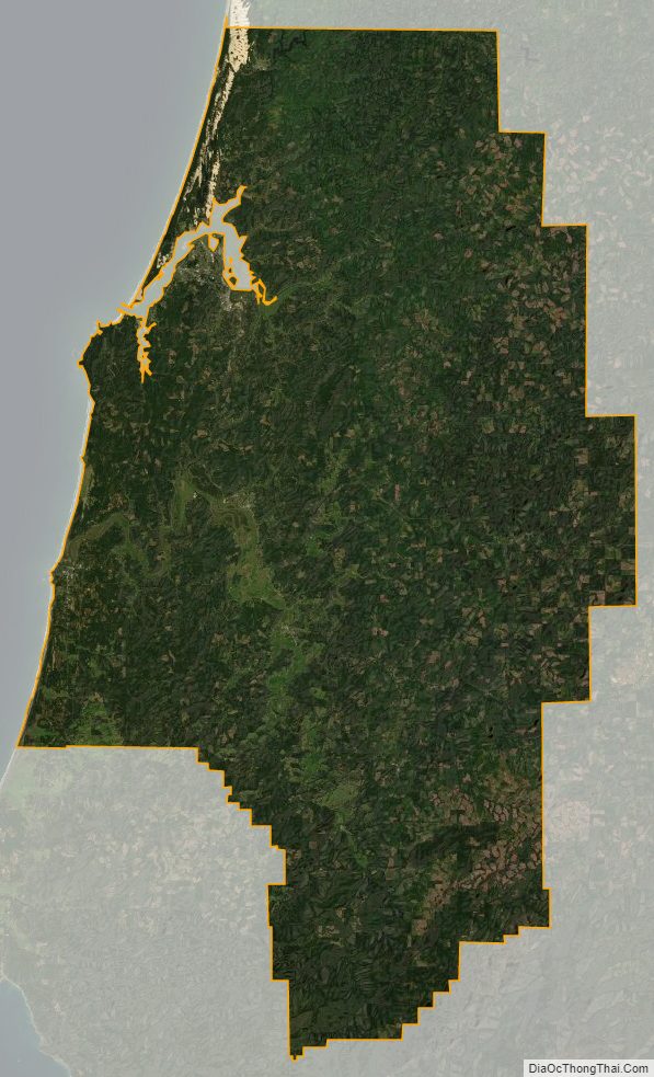
Coos County Satellite Map
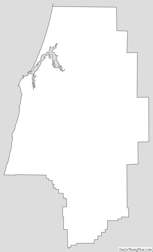
Coos County Outline Map