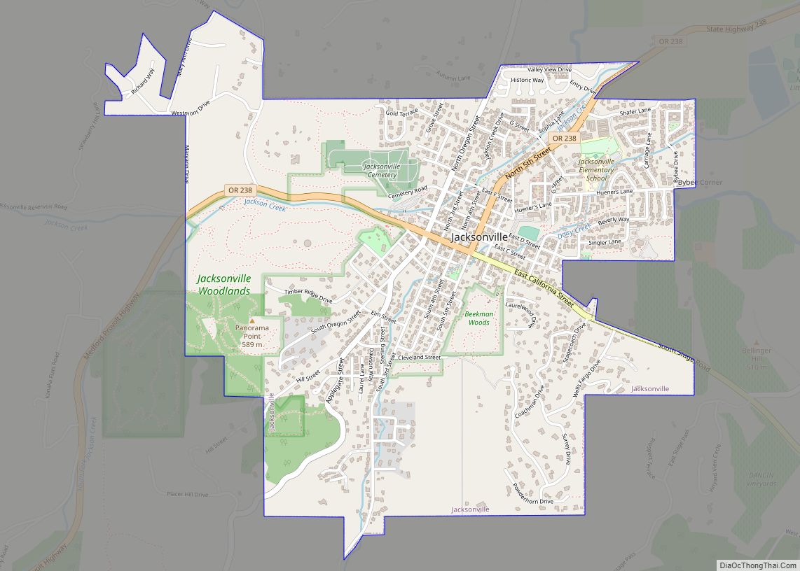
Jacksonville is a city in Jackson County, Oregon, United States, approximately 5 miles (8 km) west of Medford. It was named for Jackson Creek, which flows through the community and was the site of one of the first placer gold claims in the area. It includes Jacksonville Historic District, which was designated a U.S. National Historic Landmark in 1966. As of the 2010 census, the city population was 2,785, up from 2,235 at the 2000 census.
| Name: | Jacksonville city |
|---|---|
| LSAD Code: | 25 |
| LSAD Description: | city (suffix) |
| State: | Oregon |
| County: | Jackson County |
| Incorporated: | 1860 |
| Elevation: | 1,569 ft (478 m) |
| Total Area: | 1.89 sq mi (4.90 km²) |
| Land Area: | 1.89 sq mi (4.90 km²) |
| Water Area: | 0.00 sq mi (0.00 km²) |
| Total Population: | 3,020 |
| Population Density: | 1,596.19/sq mi (616.31/km²) |
| ZIP code: | 97530 |
| Area code: | 458 and 541 |
| FIPS code: | 4137000 |
| GNISfeature ID: | 1122366 |
| Website: | www.jacksonvilleor.us |
Online Interactive Map
Click on ![]() to view map in "full screen" mode.
to view map in "full screen" mode.
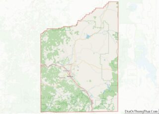
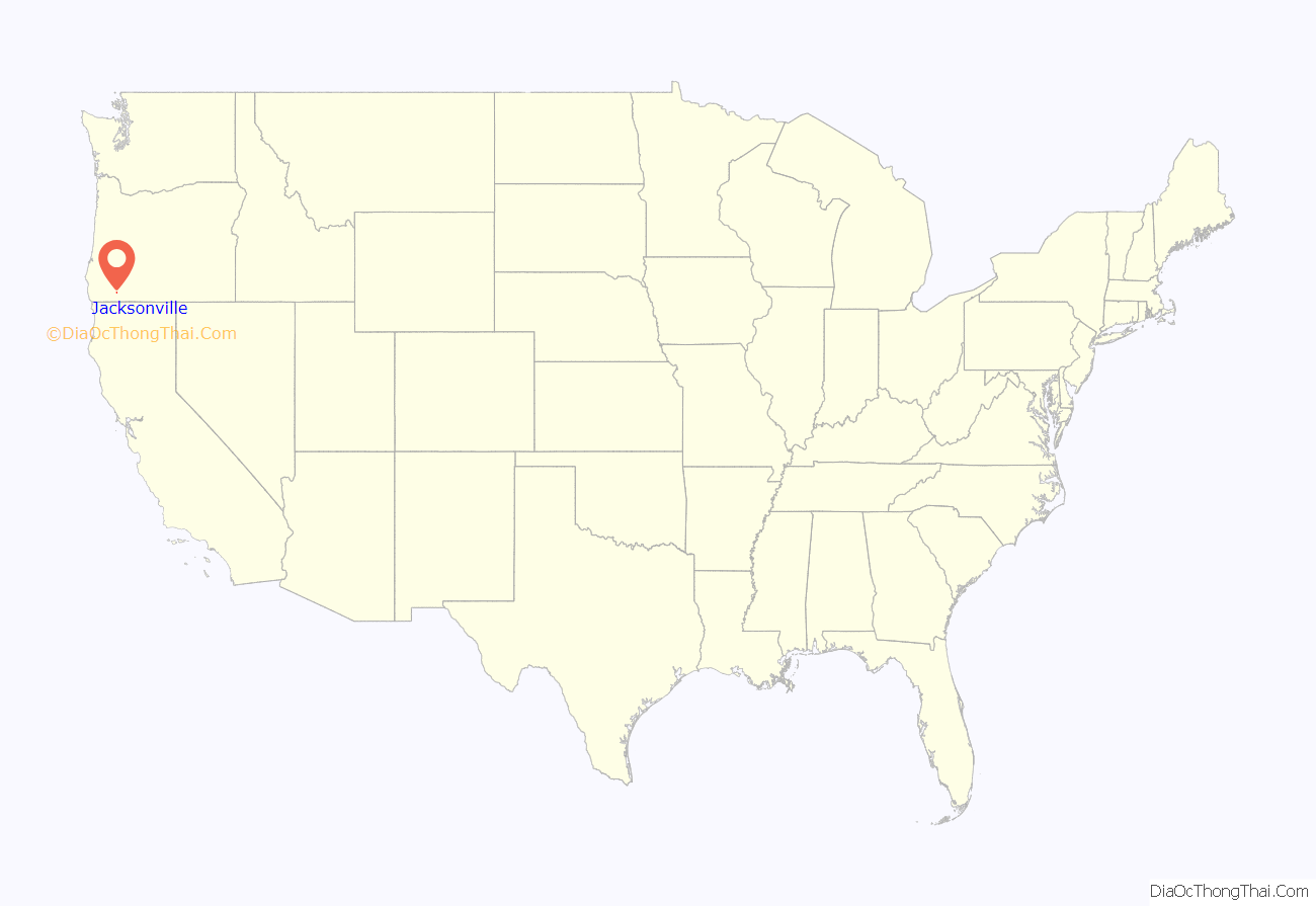
Jacksonville location map. Where is Jacksonville city?

History
Jacksonville was founded following discovery of gold deposits in 1851–1852. With the creation of Jackson County, it became the county seat, a role which was transferred to nearby Medford in 1927.
Jacksonville was home to the first Chinatown in Oregon, founded by immigrants from San Francisco. Physical evidence of this chapter of history was uncovered early in March 2004 when road work uncovered artifacts dating to the 1850s and 1860s. Construction was halted while archeologists performed four days of rescue excavations. Their findings included broken Chinese bowls and tea cups, handmade bottles, and fragments of opium paraphernalia and Chinese coins.
As the gold deposits were worked out in the 1860s and the railway bypassed Jacksonville in 1884, the city’s economy slowed. This had the unintended benefit of preserving a number of structures, which led to Jacksonville’s being designated a National Historic District in 1966, covering over 100 buildings. It was cited as a “mid-19th century inland commercial city significant for its magnificent group of surviving unaltered commercial and residential buildings. The city was the principal financial center of southern Oregon until it was bypassed by the Oregon and California Railroad.”
Jacksonville Road Map

Jacksonville city Satellite Map

Geography
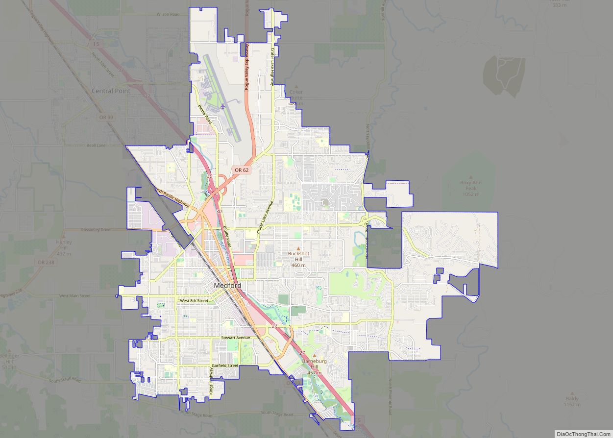
Jacksonville is in west-central Jackson County, 5 miles (8 km) west of Medford in the valley of Jackson Creek at the base of Miller Mountain. According to the United States Census Bureau, the city has a total area of 1.89 square miles (4.90 km), all land.
See also
Map of Oregon State and its subdivision: Map of other states:- Alabama
- Alaska
- Arizona
- Arkansas
- California
- Colorado
- Connecticut
- Delaware
- District of Columbia
- Florida
- Georgia
- Hawaii
- Idaho
- Illinois
- Indiana
- Iowa
- Kansas
- Kentucky
- Louisiana
- Maine
- Maryland
- Massachusetts
- Michigan
- Minnesota
- Mississippi
- Missouri
- Montana
- Nebraska
- Nevada
- New Hampshire
- New Jersey
- New Mexico
- New York
- North Carolina
- North Dakota
- Ohio
- Oklahoma
- Oregon
- Pennsylvania
- Rhode Island
- South Carolina
- South Dakota
- Tennessee
- Texas
- Utah
- Vermont
- Virginia
- Washington
- West Virginia
- Wisconsin
- Wyoming