Crockett County is located in the U.S. state of Tennessee. As of the 2020 census, the population was 13,911. Its county seat is Alamo. Crockett County is included in the Jackson, TN Metropolitan Statistical Area.
| Name: | Crockett County |
|---|---|
| FIPS code: | 47-033 |
| State: | Tennessee |
| Founded: | 1871 |
| Named for: | Davy Crockett |
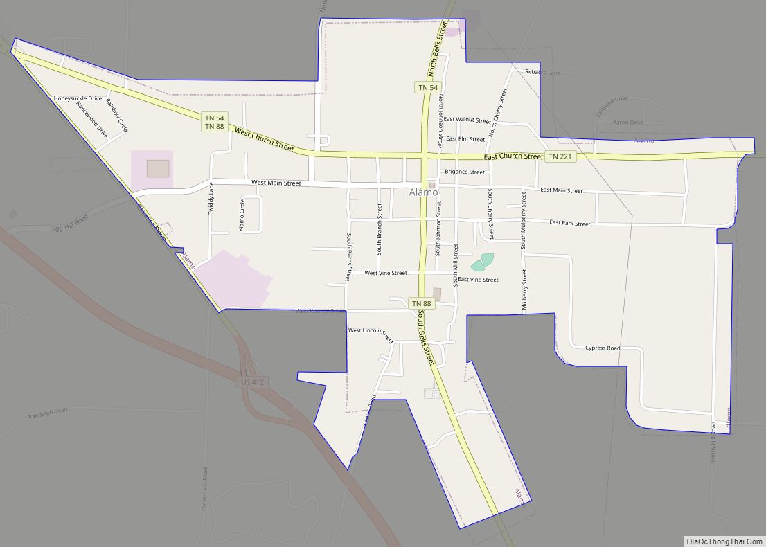
| Seat: | Alamo |
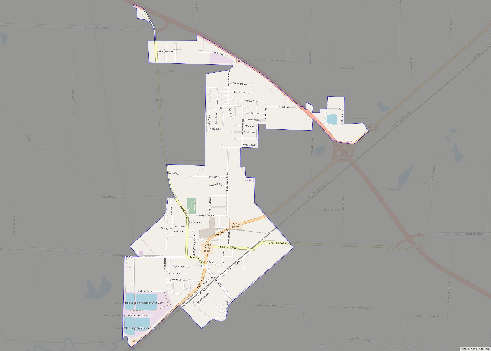
| Largest town: | Bells |
| Total Area: | 266 sq mi (690 km²) |
| Land Area: | 266 sq mi (690 km²) |
| Total Population: | 13,911 |
| Population Density: | 54/sq mi (21/km²) |
| Time zone: | UTC−6 (Central) |
| Summer Time Zone (DST): | UTC−5 (CDT) |
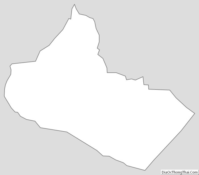
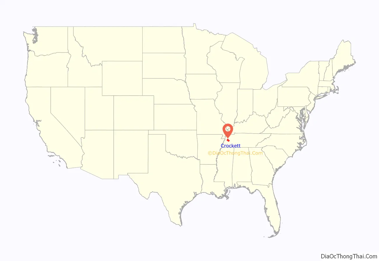
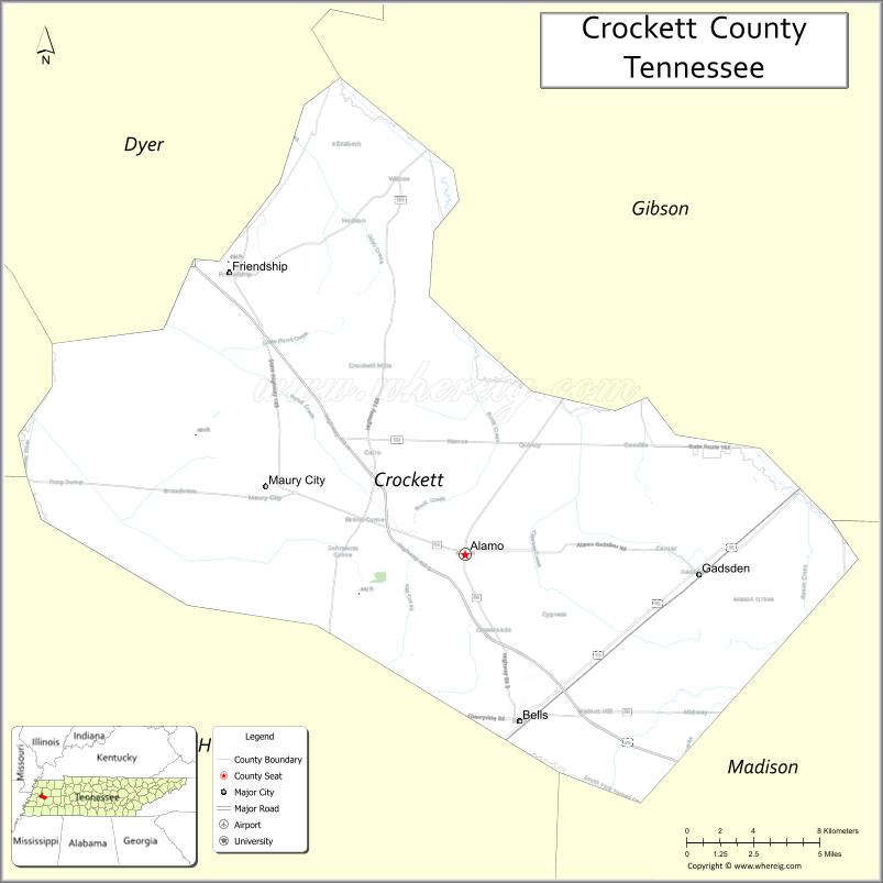
Crockett County location map. Where is Crockett County?
History
Crockett County was formed in 1871 from portions of Haywood, Madison, Dyer and Gibson counties. It is named in honor of David Crockett (1786–1836), frontier humorist, soldier, Tennessee state legislator and U.S. congressman, and defender of the Alamo.
In 1876, in what apparently was a political rivalry gone bad, Crockett County Sheriff R. G. Harris and 19 other unidentified men removed four black men from the county jail and beat them, killing one of them. The sheriff was arrested. In United States v. Harris (1883), the Supreme Court ruled that the Sheriff could not be prosecuted under federal law. https://www.genealogy.com/forum/surnames/topics/wells/9856/
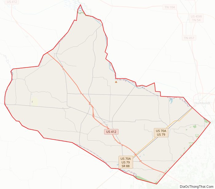
Crockett County Road Map
Geography
According to the U.S. Census Bureau, the county has a total area of 266 square miles (690 km), of which 266 square miles (690 km) is land and 0.2 square miles (0.52 km) (0.08%) is water.
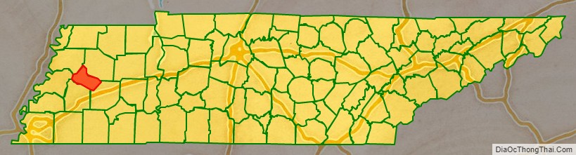
Adjacent counties
- Gibson County (northeast)
- Madison County (southeast)
- Haywood County (south)
- Lauderdale County (west)
- Dyer County (northwest)
State protected areas
- Horns Bluff Refuge (part)
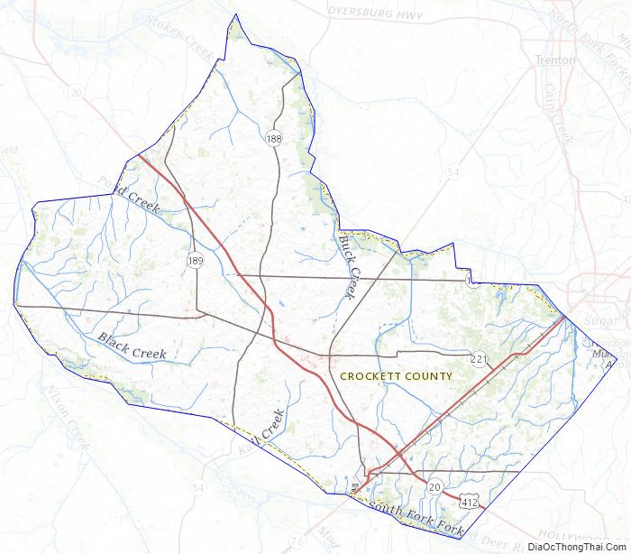
Crockett County Topographic Map
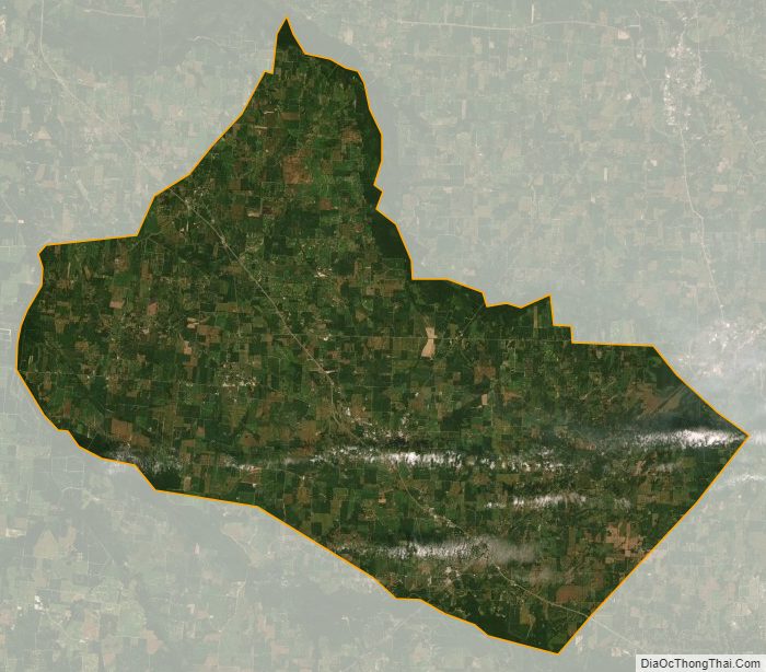
Crockett County Satellite Map
Crockett County Outline Map