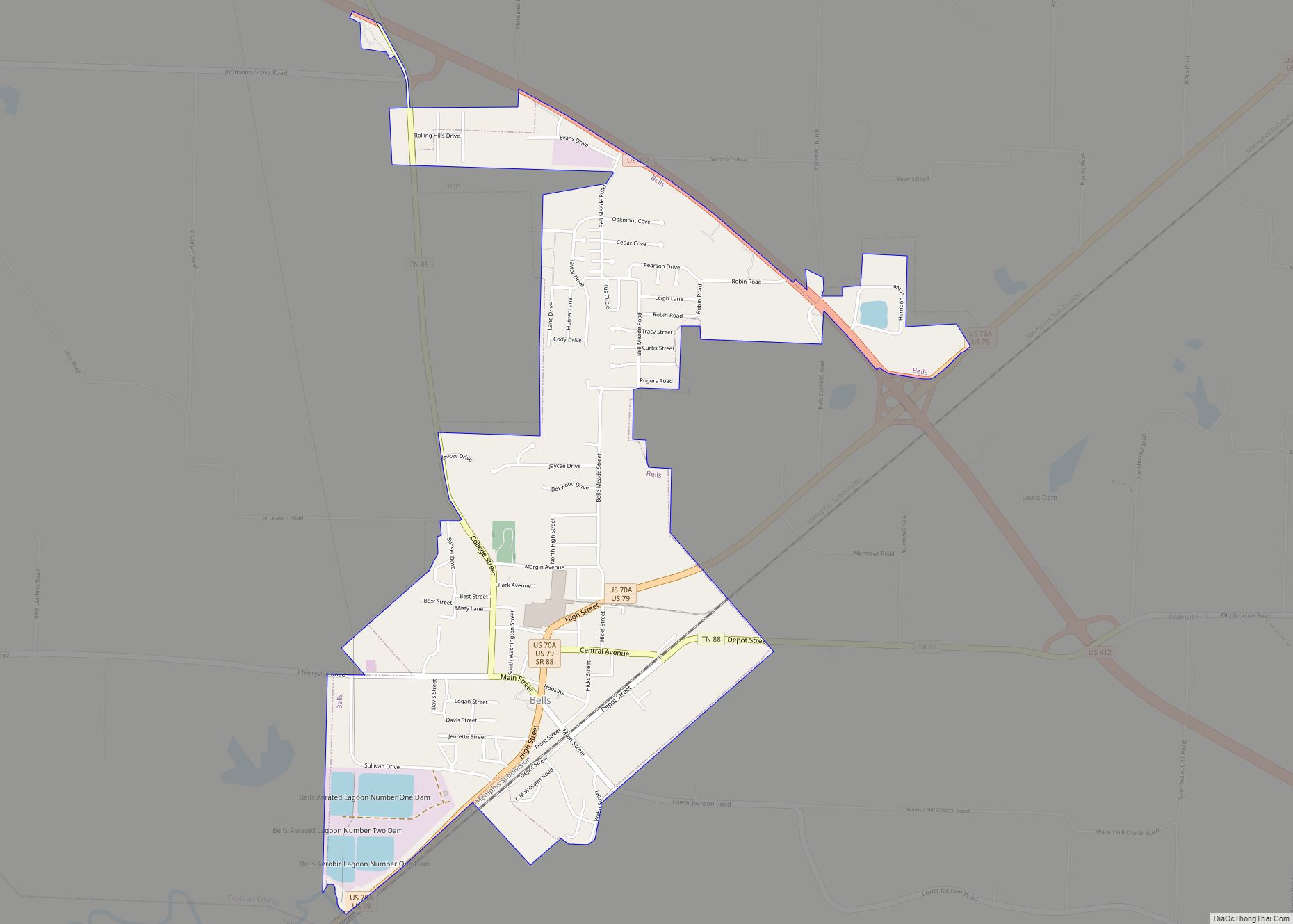
Bells is a city in Crockett County, Tennessee. The population was 2,437 at the 2010 census.
| Name: | Bells city |
|---|---|
| LSAD Code: | 25 |
| LSAD Description: | city (suffix) |
| State: | Tennessee |
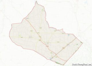
| County: | Crockett County |
| Elevation: | 325 ft (99 m) |
| Total Area: | 2.38 sq mi (6.16 km²) |
| Land Area: | 2.37 sq mi (6.14 km²) |
| Water Area: | 0.01 sq mi (0.02 km²) |
| Total Population: | 2,463 |
| Population Density: | 1,038.80/sq mi (401.09/km²) |
| ZIP code: | 38006 |
| Area code: | 731 |
| FIPS code: | 4704720 |
| GNISfeature ID: | 1305093 |
| Website: | cityofbellstn.com |
Online Interactive Map
Click on ![]() to view map in "full screen" mode.
to view map in "full screen" mode.
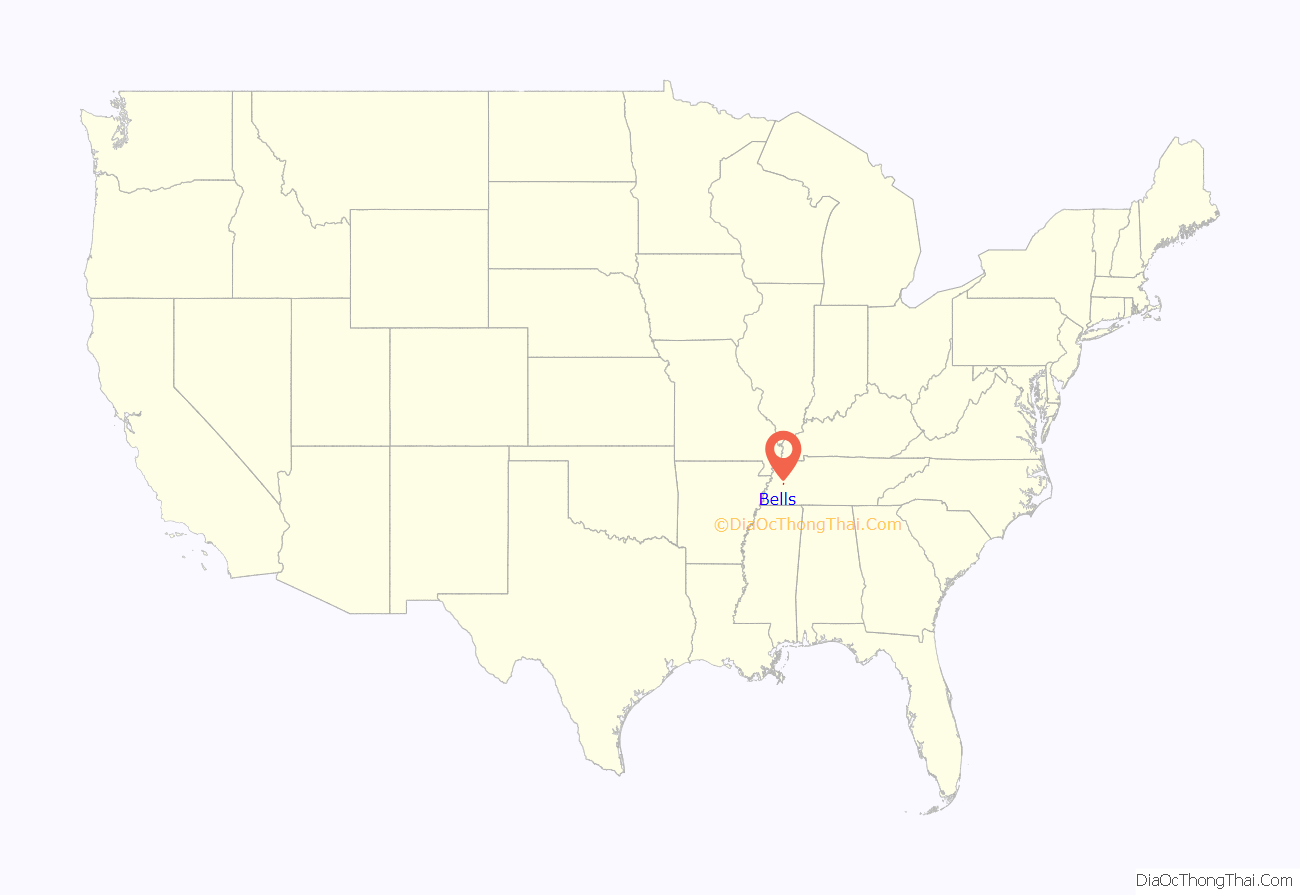
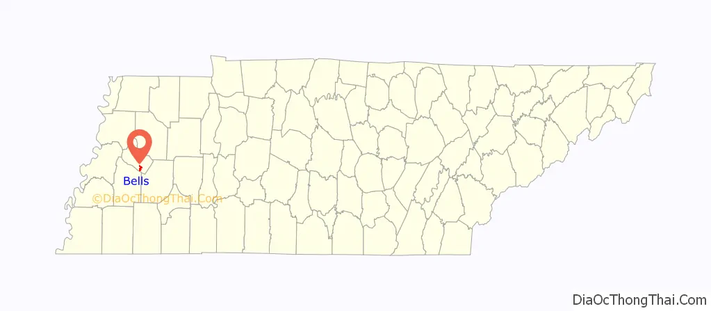
Bells location map. Where is Bells city?
History
Bells was established in the late 1820s on land acquired by brothers John and William Bell. When a city was founded on this land in 1855, it was given the name “Bells Depot.” The city was incorporated in 1868, and the “Depot” was dropped from the name in 1880.
Bells was the home of the now-defunct West Tennessee Okra Festival. The festival included a horse show, beauty pageant, street carnival and other activities and shows. The Festival was always held during August, the peak of the okra season.
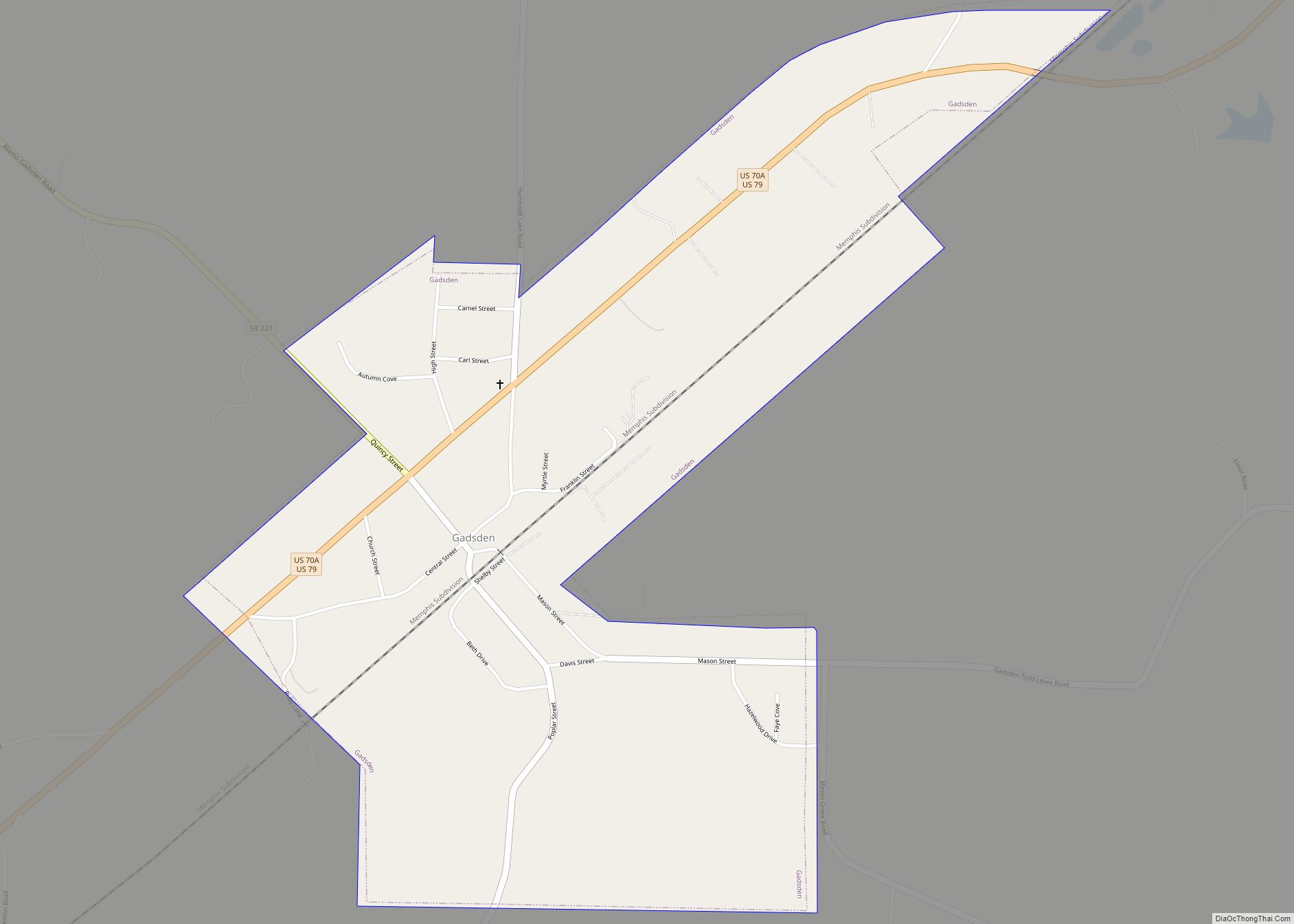
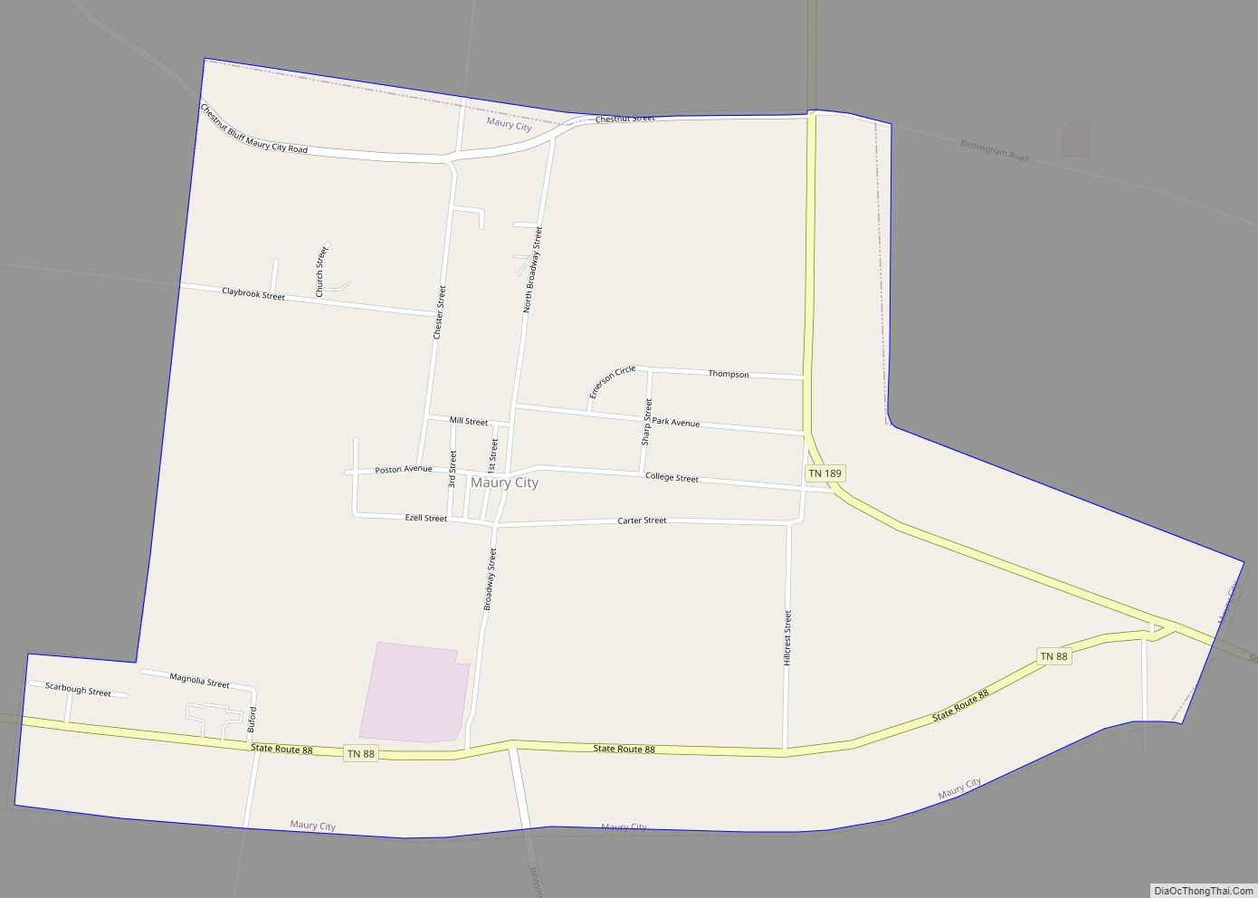
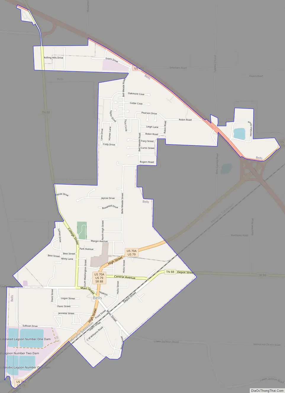
Bells Road Map
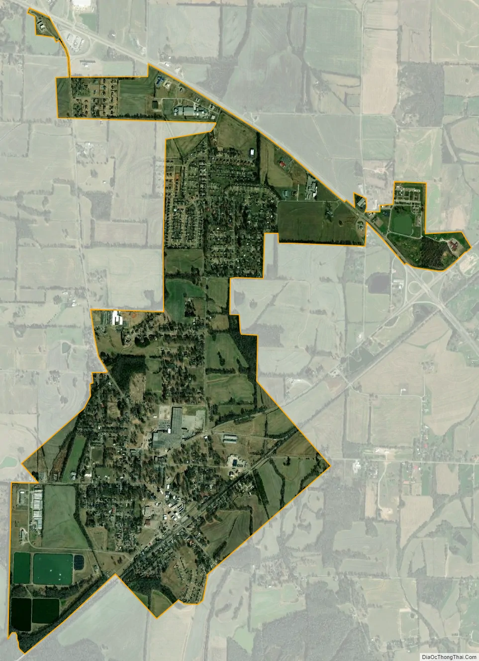
Bells city Satellite Map
Geography
Bells is located at 35°43′6″N 89°5′7″W / 35.71833°N 89.08528°W / 35.71833; -89.08528 (35.718423, -89.085385). The city is concentrated around the intersection of a congruent stretch of U.S. Route 70A and U.S. Route 79, which approaches from Brownsville to the southwest and continues northeastwardly to Humboldt, and State Route 88, which connects the city to Alamo to the northwest and Jackson to the southeast. The South Fork of the Forked Deer River passes just south of Bells.
According to the United States Census Bureau, the city has a total area of 2.3 square miles (6.0 km), of which 2.3 square miles (6.0 km) is land and 0.44% is water.
See also
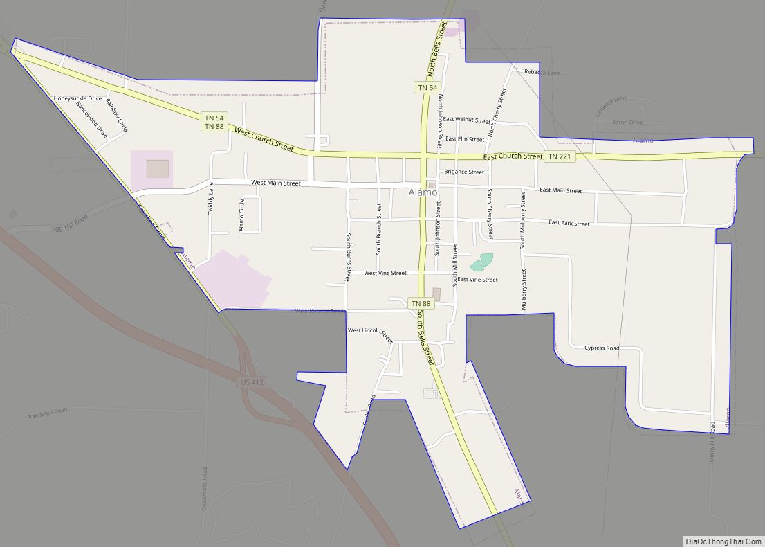
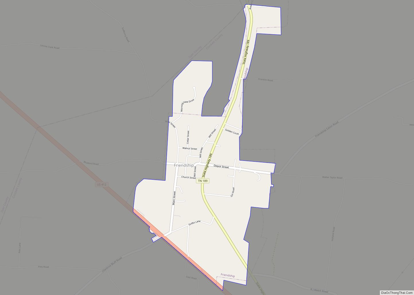
Map of Tennessee State and its subdivision:- Anderson
- Bedford
- Benton
- Bledsoe
- Blount
- Bradley
- Campbell
- Cannon
- Carroll
- Carter
- Cheatham
- Chester
- Claiborne
- Clay
- Cocke
- Coffee
- Crockett
- Cumberland
- Davidson
- Decatur
- DeKalb
- Dickson
- Dyer
- Fayette
- Fentress
- Franklin
- Gibson
- Giles
- Grainger
- Greene
- Grundy
- Hamblen
- Hamilton
- Hancock
- Hardeman
- Hardin
- Hawkins
- Haywood
- Henderson
- Henry
- Hickman
- Houston
- Humphreys
- Jackson
- Jefferson
- Johnson
- Knox
- Lake
- Lauderdale
- Lawrence
- Lewis
- Lincoln
- Loudon
- Macon
- Madison
- Marion
- Marshall
- Maury
- McMinn
- McNairy
- Meigs
- Monroe
- Montgomery
- Moore
- Morgan
- Obion
- Overton
- Perry
- Pickett
- Polk
- Putnam
- Rhea
- Roane
- Robertson
- Rutherford
- Scott
- Sequatchie
- Sevier
- Shelby
- Smith
- Stewart
- Sullivan
- Sumner
- Tipton
- Trousdale
- Unicoi
- Union
- Van Buren
- Warren
- Washington
- Wayne
- Weakley
- White
- Williamson
- Wilson
- Alabama
- Alaska
- Arizona
- Arkansas
- California
- Colorado
- Connecticut
- Delaware
- District of Columbia
- Florida
- Georgia
- Hawaii
- Idaho
- Illinois
- Indiana
- Iowa
- Kansas
- Kentucky
- Louisiana
- Maine
- Maryland
- Massachusetts
- Michigan
- Minnesota
- Mississippi
- Missouri
- Montana
- Nebraska
- Nevada
- New Hampshire
- New Jersey
- New Mexico
- New York
- North Carolina
- North Dakota
- Ohio
- Oklahoma
- Oregon
- Pennsylvania
- Rhode Island
- South Carolina
- South Dakota
- Tennessee
- Texas
- Utah
- Vermont
- Virginia
- Washington
- West Virginia
- Wisconsin
- Wyoming