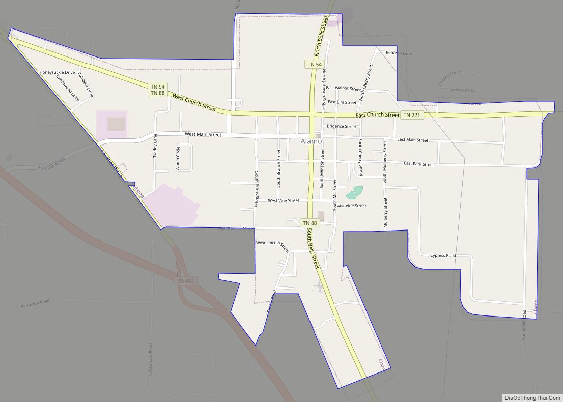
Alamo is a town in Crockett County, Tennessee. Its population was 2,461 at the time of the 2010 U.S. Census. Alamo, located in the central part of West Tennessee, is the county seat of Crockett County.
| Name: | Alamo town |
|---|---|
| LSAD Code: | 43 |
| LSAD Description: | town (suffix) |
| State: | Tennessee |
| County: | Crockett County |
| Incorporated: | 1911 |
| Elevation: | 361 ft (110 m) |
| Total Area: | 2.20 sq mi (5.69 km²) |
| Land Area: | 2.20 sq mi (5.69 km²) |
| Water Area: | 0.00 sq mi (0.00 km²) |
| Total Population: | 2,336 |
| Population Density: | 1,063.75/sq mi (410.74/km²) |
| ZIP code: | 38001 |
| Area code: | 731 |
| FIPS code: | 4700440 |
| GNISfeature ID: | 1304782 |
| Website: | www.townofalamo.net |
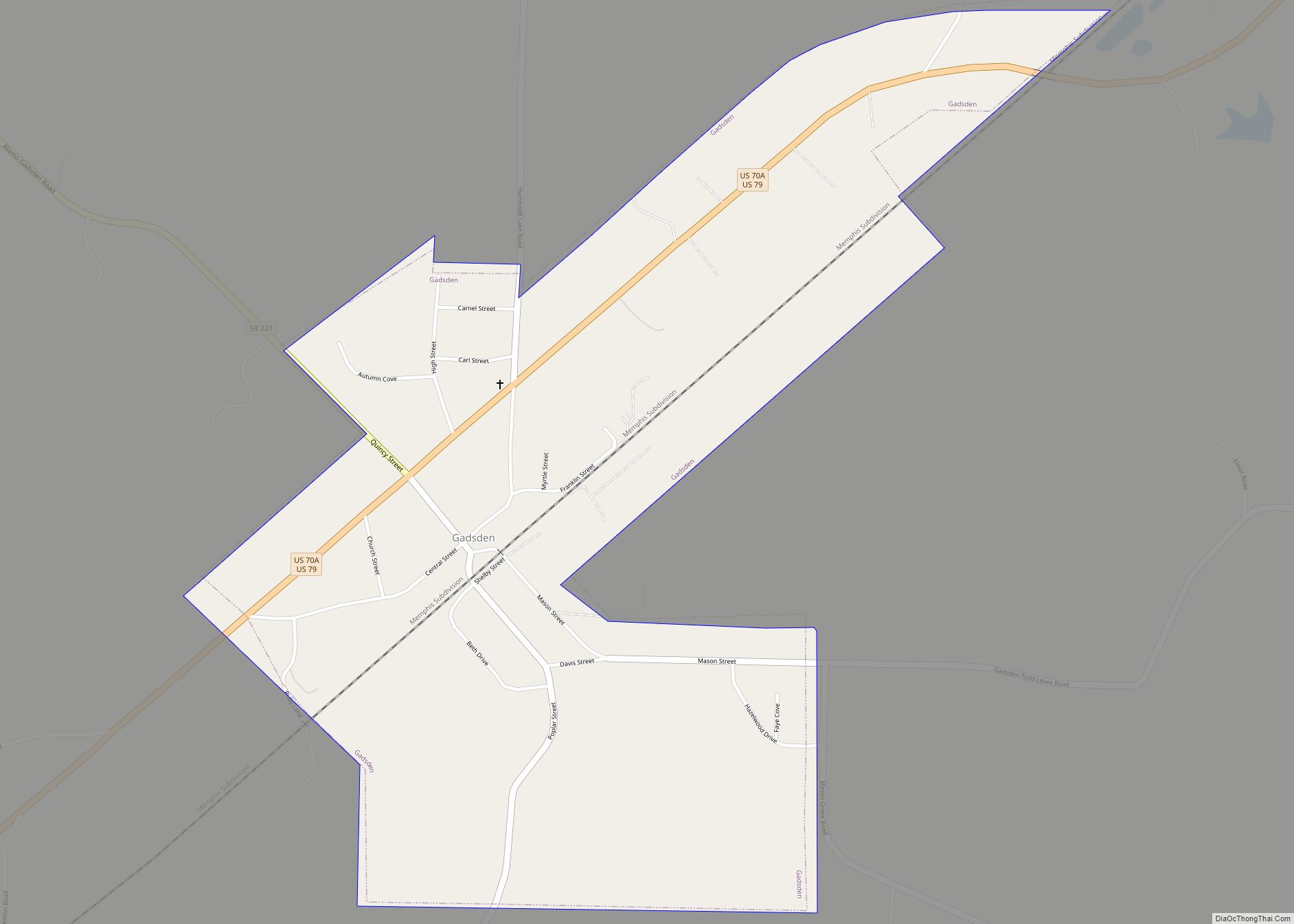
Online Interactive Map
Click on ![]() to view map in "full screen" mode.
to view map in "full screen" mode.
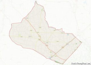
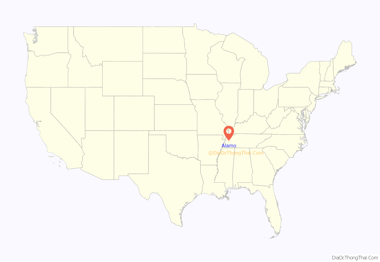
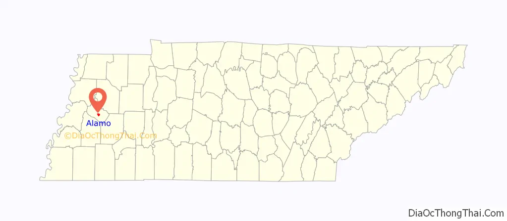
Alamo location map. Where is Alamo town?
History
Alamo was first founded as a trading post called Cageville by mercantile partners Isaac M. Johnson and Lycurgus Cage in 1846. The two were the first to do business in the town, engaging in general merchandising in 1847. Johnson became the town’s first postmaster in 1848, and the town’s first church, built by Methodists, was erected the following year. The name was changed to Alamo after the town became the county seat with the organization of Crockett County in late 1871—the act that formed Crockett County specified that its seat should bear that name, as the county had been formed to commemorate Davy Crockett’s stand at the Alamo. The town was incorporated nearly fifty years later, in 1911.
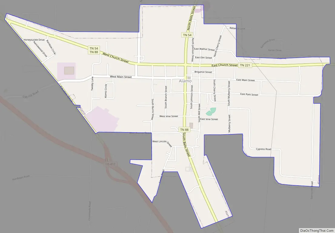
Alamo Road Map
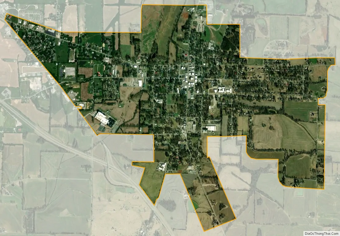
Alamo city Satellite Map
Geography
Alamo is located at 35°47′3″N 89°6′57″W / 35.78417°N 89.11583°W / 35.78417; -89.11583 (35.784201, -89.115729). The town is situated northwest of Jackson at the intersection of State Route 54, State Route 221, and State Route 88. U.S. Route 412 passes just west of the town.
According to the United States Census Bureau, the town has a total area of 2.2 square miles (5.7 km), all land.
Climate
See also
Map of Tennessee State and its subdivision:- Anderson
- Bedford
- Benton
- Bledsoe
- Blount
- Bradley
- Campbell
- Cannon
- Carroll
- Carter
- Cheatham
- Chester
- Claiborne
- Clay
- Cocke
- Coffee
- Crockett
- Cumberland
- Davidson
- Decatur
- DeKalb
- Dickson
- Dyer
- Fayette
- Fentress
- Franklin
- Gibson
- Giles
- Grainger
- Greene
- Grundy
- Hamblen
- Hamilton
- Hancock
- Hardeman
- Hardin
- Hawkins
- Haywood
- Henderson
- Henry
- Hickman
- Houston
- Humphreys
- Jackson
- Jefferson
- Johnson
- Knox
- Lake
- Lauderdale
- Lawrence
- Lewis
- Lincoln
- Loudon
- Macon
- Madison
- Marion
- Marshall
- Maury
- McMinn
- McNairy
- Meigs
- Monroe
- Montgomery
- Moore
- Morgan
- Obion
- Overton
- Perry
- Pickett
- Polk
- Putnam
- Rhea
- Roane
- Robertson
- Rutherford
- Scott
- Sequatchie
- Sevier
- Shelby
- Smith
- Stewart
- Sullivan
- Sumner
- Tipton
- Trousdale
- Unicoi
- Union
- Van Buren
- Warren
- Washington
- Wayne
- Weakley
- White
- Williamson
- Wilson
- Alabama
- Alaska
- Arizona
- Arkansas
- California
- Colorado
- Connecticut
- Delaware
- District of Columbia
- Florida
- Georgia
- Hawaii
- Idaho
- Illinois
- Indiana
- Iowa
- Kansas
- Kentucky
- Louisiana
- Maine
- Maryland
- Massachusetts
- Michigan
- Minnesota
- Mississippi
- Missouri
- Montana
- Nebraska
- Nevada
- New Hampshire
- New Jersey
- New Mexico
- New York
- North Carolina
- North Dakota
- Ohio
- Oklahoma
- Oregon
- Pennsylvania
- Rhode Island
- South Carolina
- South Dakota
- Tennessee
- Texas
- Utah
- Vermont
- Virginia
- Washington
- West Virginia
- Wisconsin
- Wyoming