Haywood County is a county located in the U.S. state of Tennessee, in the region known as West Tennessee. As of the 2020 census, the population was 17,864. Its county seat and largest city is Brownsville. It is one of only two remaining counties in Tennessee, along with Shelby County, with a majority African-American population.
| Name: | Haywood County |
|---|---|
| FIPS code: | 47-075 |
| State: | Tennessee |
| Founded: | 1823 |
| Named for: | John Haywood |
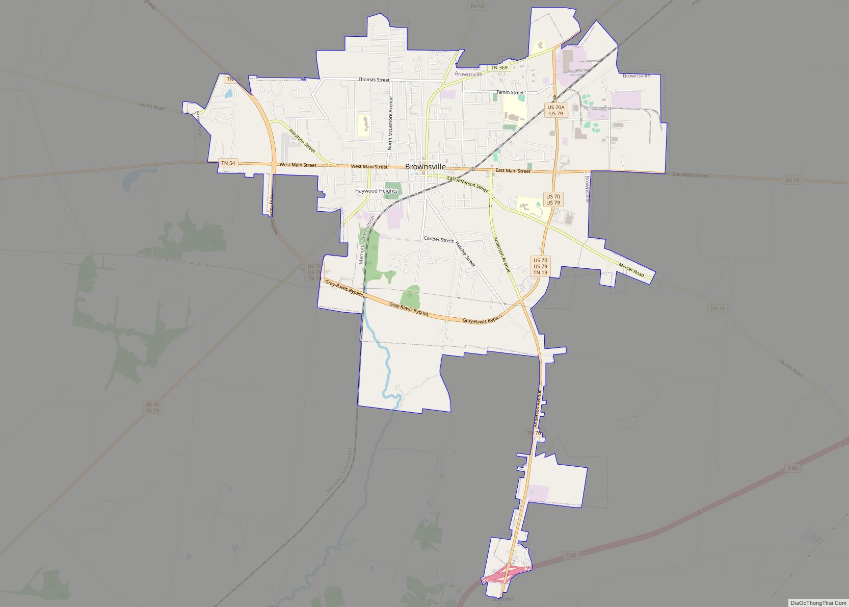
| Seat: | Brownsville |
| Largest city: | Brownsville |
| Total Area: | 534 sq mi (1,380 km²) |
| Land Area: | 533 sq mi (1,380 km²) |
| Total Population: | 17,864 |
| Population Density: | 35/sq mi (14/km²) |
| Time zone: | UTC−6 (Central) |
| Summer Time Zone (DST): | UTC−5 (CDT) |
| Website: | Haywood County |
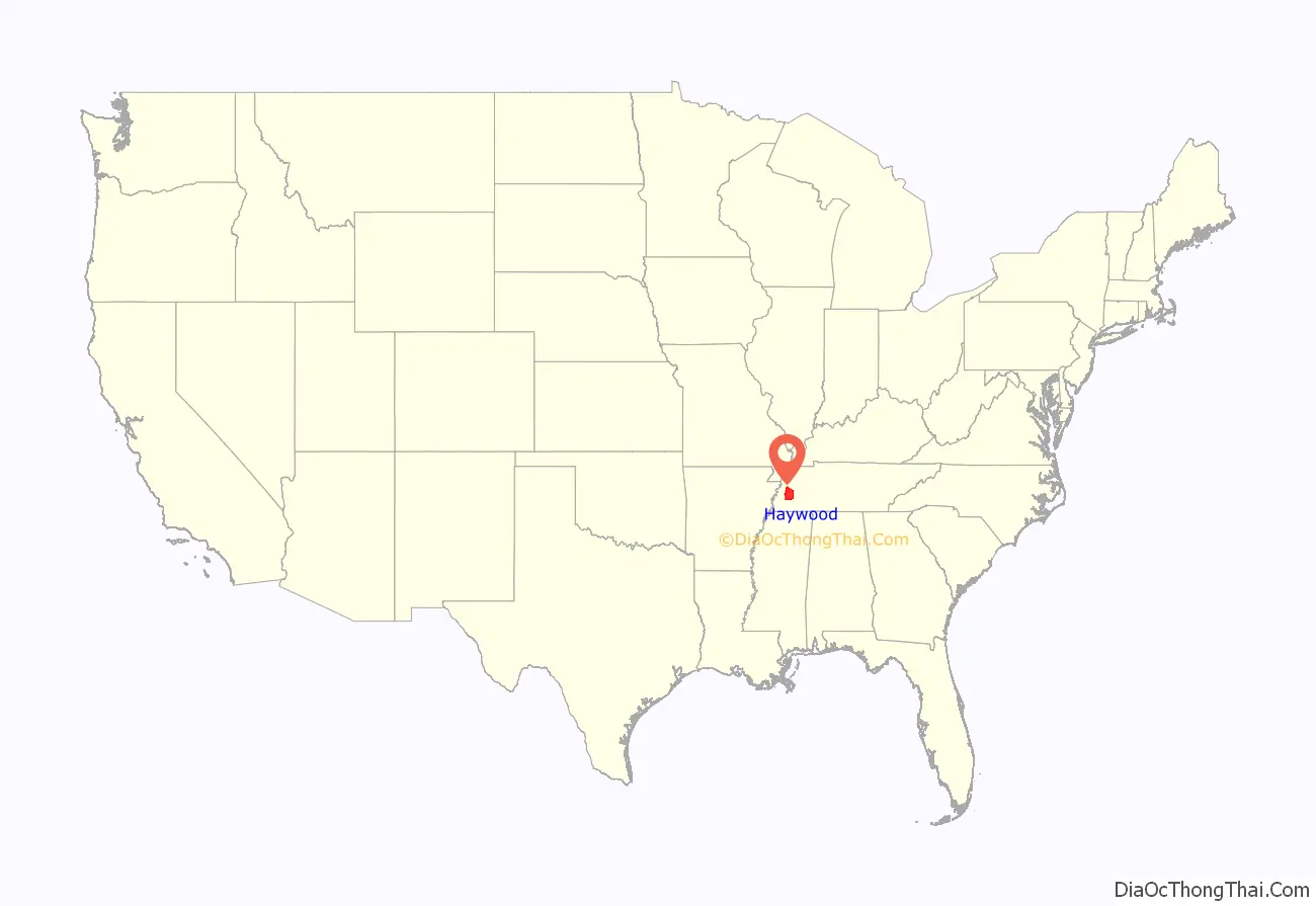
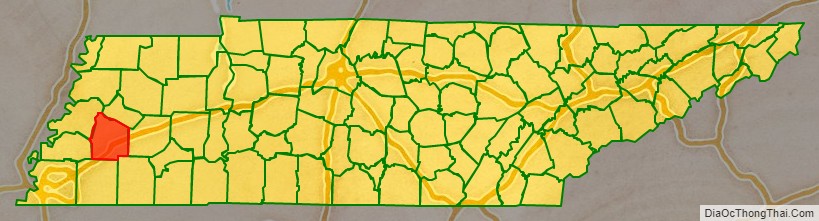
Haywood County location map. Where is Haywood County?
History
Haywood County was created from part of Madison County in 1823–24, and was named for Tennessee judge and historian John Haywood. The state legislature designated Brownsville as the county seat. Haywood County was later reduced in size, when both Lauderdale and Crockett counties were created from its territory.
For much of the county’s history, agriculture, especially growing cotton as a commodity, was the basis of the local economy, as it was throughout western Tennessee, which was in the Mississippi Valley. Before the Civil War, this was accomplished by a plantation system based on the use of enslaved African-American workers.
After Emancipation in 1865, many planters hired freedmen as tenant farmers and sharecroppers to produce the cotton crops, which were still important to the state. The largely rural county continues to have a majority-black population.
Whites lynched three African Americans in the county, most at the county seat of Brownsville, in the period following Reconstruction and into the early 20th century.
On June 20, 1940, Elbert Williams, an African American, was killed in Brownsville for “attempting to qualify to vote” and “an interest in Negro affairs.” He had organized a local chapter of the NAACP (National Association for the Advancement of Colored People). He was the last recorded lynching victim in the state. Like other southern states, Tennessee had raised barriers at the turn of the century to voter registration to disenfranchise blacks. Whites maintained the political exclusion, sometimes with violence. Williams was murdered and his body was thrown into the Hatchie River. It was later recovered.
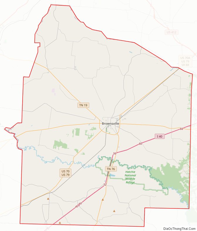
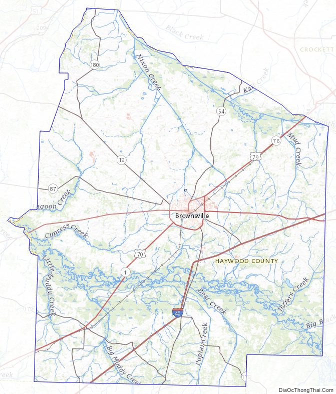
Haywood County Road Map
Geography
According to the U.S. Census Bureau, the county has a total area of 534 square miles (1,380 km), of which 533 square miles (1,380 km) is land and 0.9 square miles (2.3 km) (0.2%) is water.
Haywood County is situated on the southeastern edge of the New Madrid Seismic Zone, an area with a high earthquake risk.
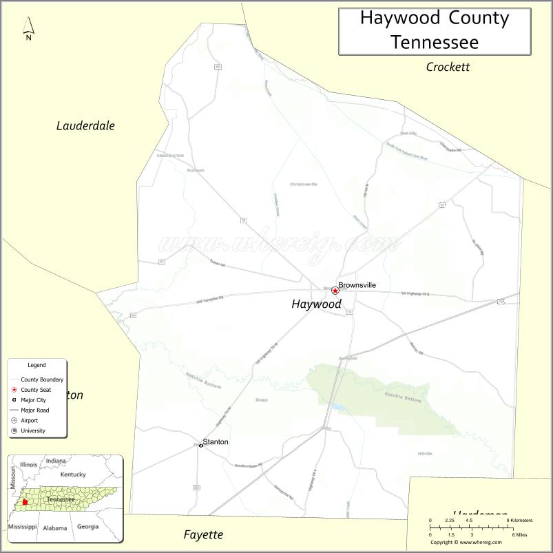
Adjacent counties
- Crockett County (north)
- Madison County (east)
- Hardeman County (southeast)
- Fayette County (south)
- Tipton County (west)
- Lauderdale County (northwest)
National protected area
- Hatchie National Wildlife Refuge
Haywood County Topographic Map
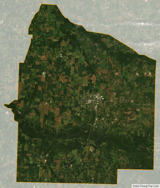
Haywood County Satellite Map
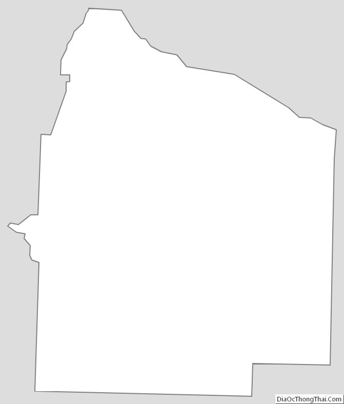
Haywood County Outline Map