Crook County is one of the 36 counties in the U.S. state of Oregon. As of the 2020 census, the population was 24,738. The county seat is Prineville. The county is named after George Crook, a U.S. Army officer who served in the American Civil War and various Indian Wars.
Crook County comprises the Prineville, OR Micropolitan Statistical Area, which is included in the Bend–Prineville, OR Combined Statistical Area.
| Name: | Crook County |
|---|---|
| FIPS code: | 41-013 |
| State: | Oregon |
| Founded: | October 24, 1882 |
| Named for: | George Crook |
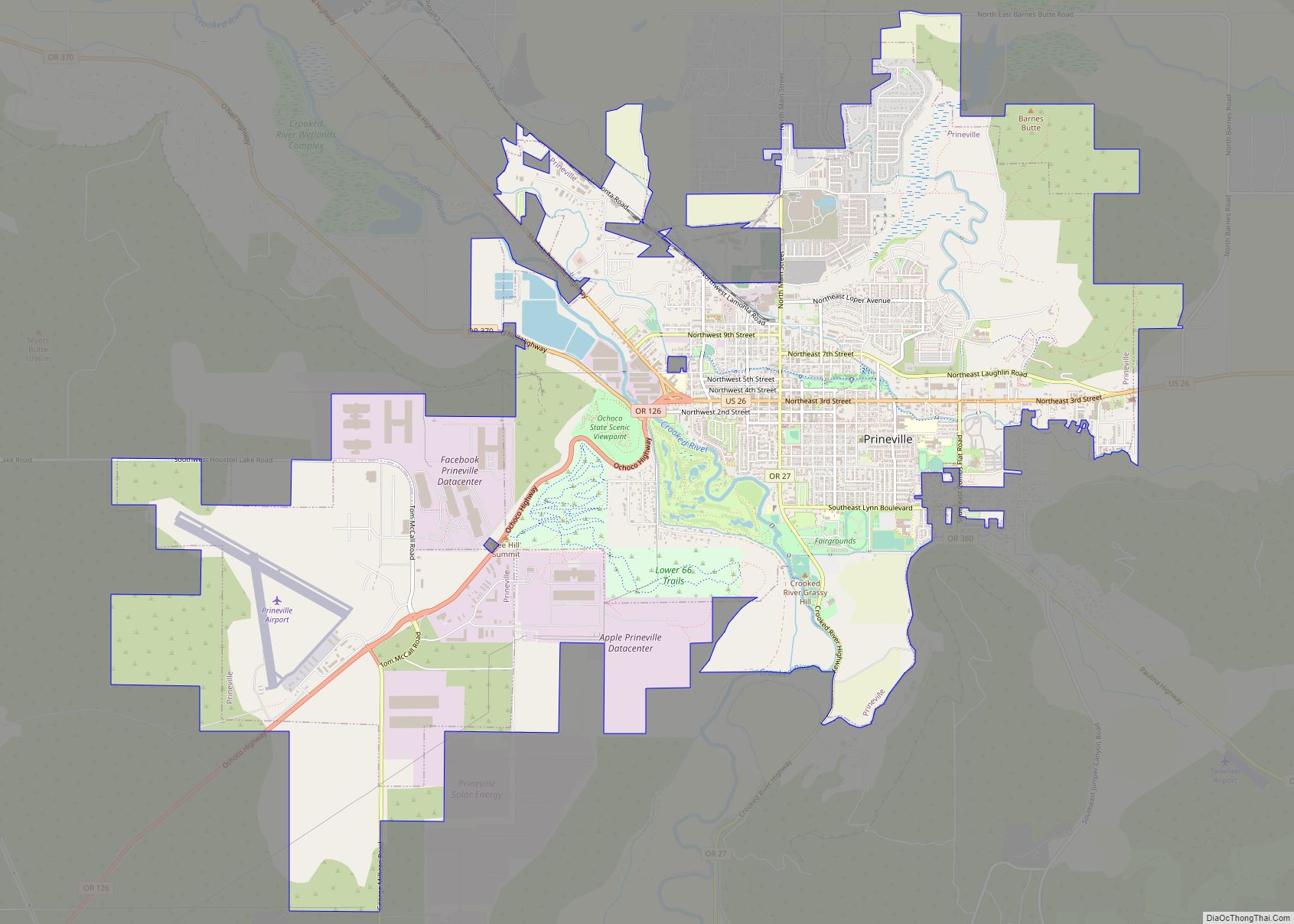
| Seat: | Prineville |
| Largest city: | Prineville |
| Total Area: | 2,987 sq mi (7,740 km²) |
| Land Area: | 2,979 sq mi (7,720 km²) |
| Total Population: | 24,738 |
| Population Density: | 7.0/sq mi (2.7/km²) |
| Time zone: | UTC−8 (Pacific) |
| Summer Time Zone (DST): | UTC−7 (PDT) |
| Website: | co.crook.or.us |
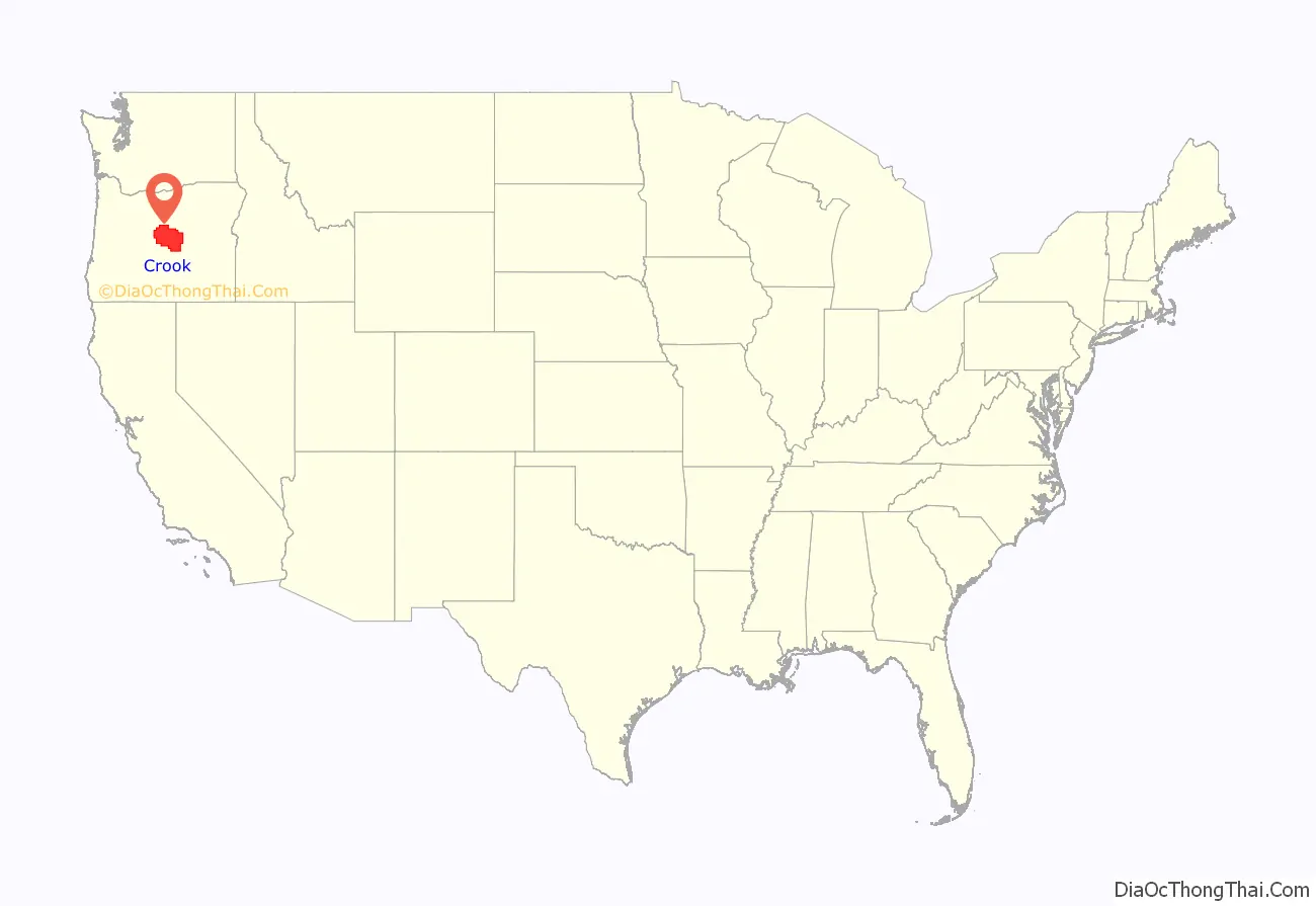
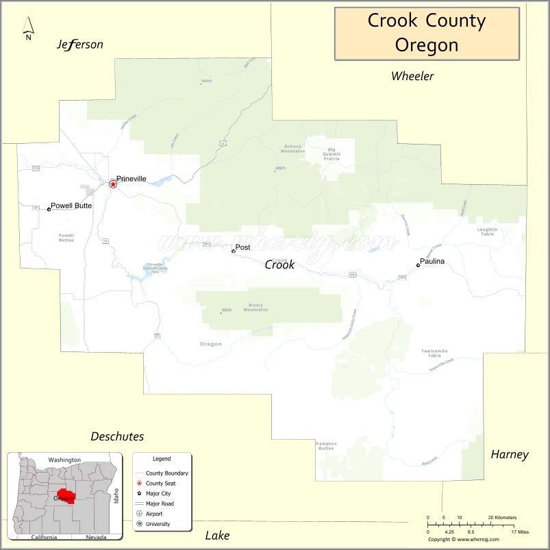
Crook County location map. Where is Crook County?
History
Crook County was established on October 9, 1882, by an act of the Oregon State Legislature. The county was named after General George Crook, a veteran of various battles against the indigenous peoples of Eastern Oregon in the middle of the 19th century. The county was formed from territory formerly part of Wasco County, including the hilly region where the foothills of the Blue Mountains intersect the Cascade Mountain Range.
Access into the region at first was difficult, which discouraged settlement. The first effort to develop routes into the area was in 1862 when a supply train with cattle crossed the Scott Trail. This was also the first group of non-natives to spend the winter in central Oregon. The discovery and development of the Santiam Pass in the 1860s improved access into the area.
Prineville, incorporated in 1880 and then the only incorporated town in the county, was established as the county seat. This decision was confirmed by the voters in the 1884 general election.
From the start cattle ranching has been one of the primary industries of the county, with huge herds grazing the countryside from the 1880s. Farming was also developed in certain valley regions friendly to agriculture.
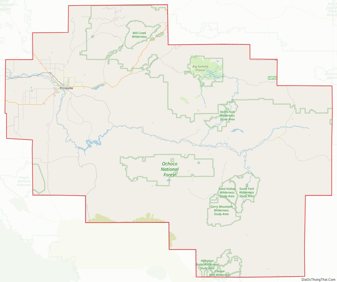
Logging in the Ochoco Mountains and the timber mills that accompanied also greatly contributed to the economic and population growth of the county. The first recorded mention of a sawmill was made by George Barnes, speaking about the Swartz sawmill on Mill Creek, circa 1867.
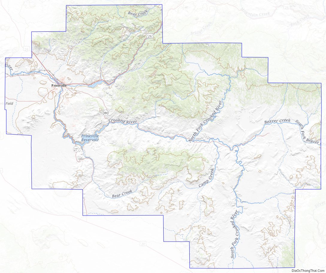
Crook County Road Map
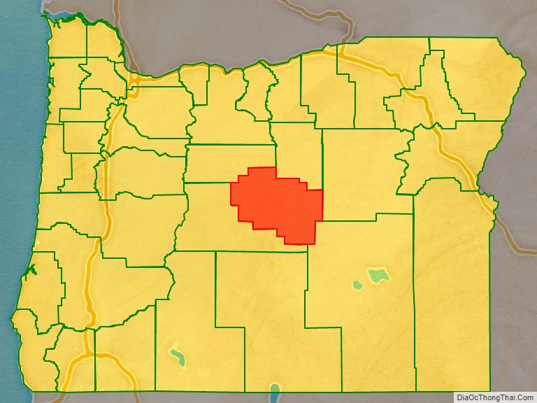
Geography
The county is located in the geographic center of Oregon. According to the U.S. Census Bureau, the county has a total area of 2,987 square miles (7,740 km), of which 2,979 square miles (7,720 km) is land and 8.2 square miles (21 km) (0.3%) is water. The largest body of water in Crook County is the Prineville Reservoir. The county has been reduced from its original size of 8,600 square miles (22,000 km) by the creation of Jefferson County in 1914 and Deschutes County in 1916. The present boundaries were established in 1927.
The oldest geological formation in Oregon is in the southeastern corner of Crook County, near its boundary with Grant County. This formation is an outcropping of Devonian limestone created from a larger reef when most of Oregon was covered by water.
Adjacent counties
- Jefferson County – north
- Wheeler County – north
- Grant County – east
- Harney County – southeast
- Deschutes County – southwest
National protected area
- Ochoco National Forest (part)
Crook County Topographic Map
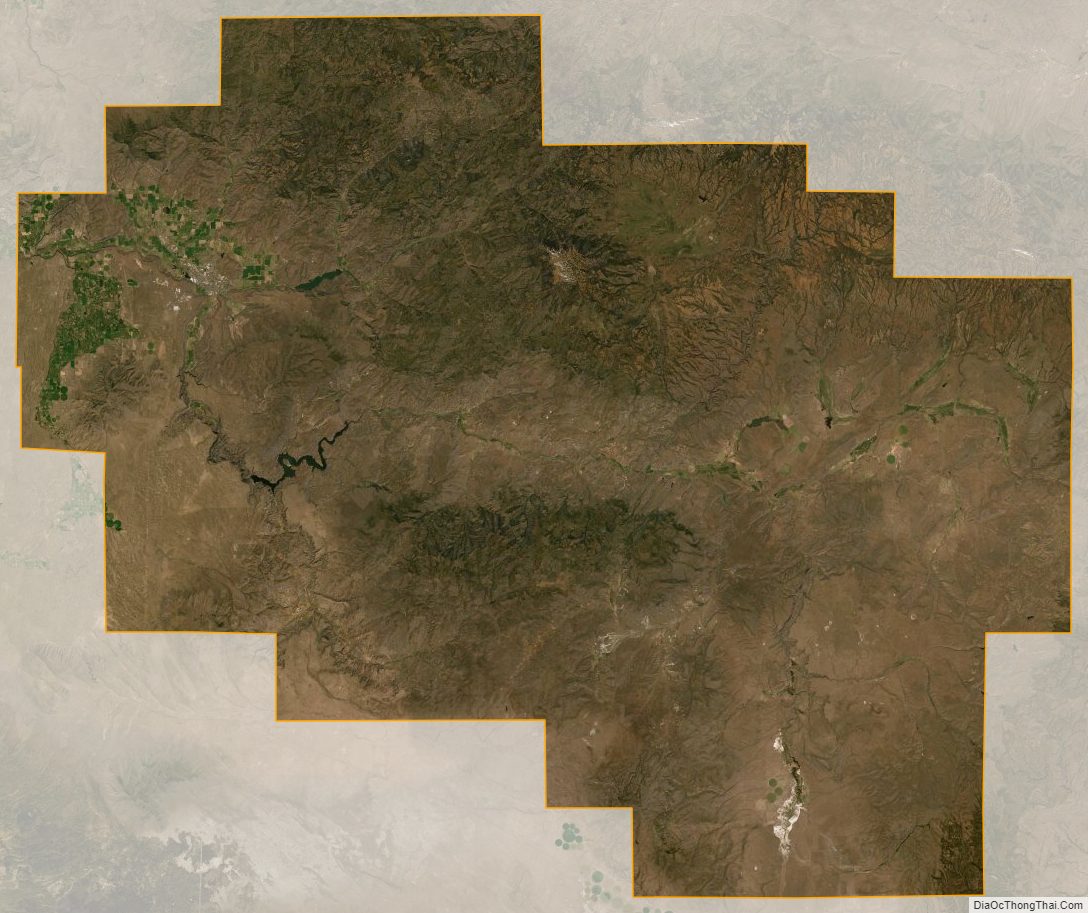
Crook County Satellite Map
Crook County Outline Map