| Name: | Wheeler County |
|---|---|
| FIPS code: | 41-069 |
| State: | Oregon |
| Founded: | February 17, 1899 |
| Named for: | Henry H. Wheeler [Wikidata] |
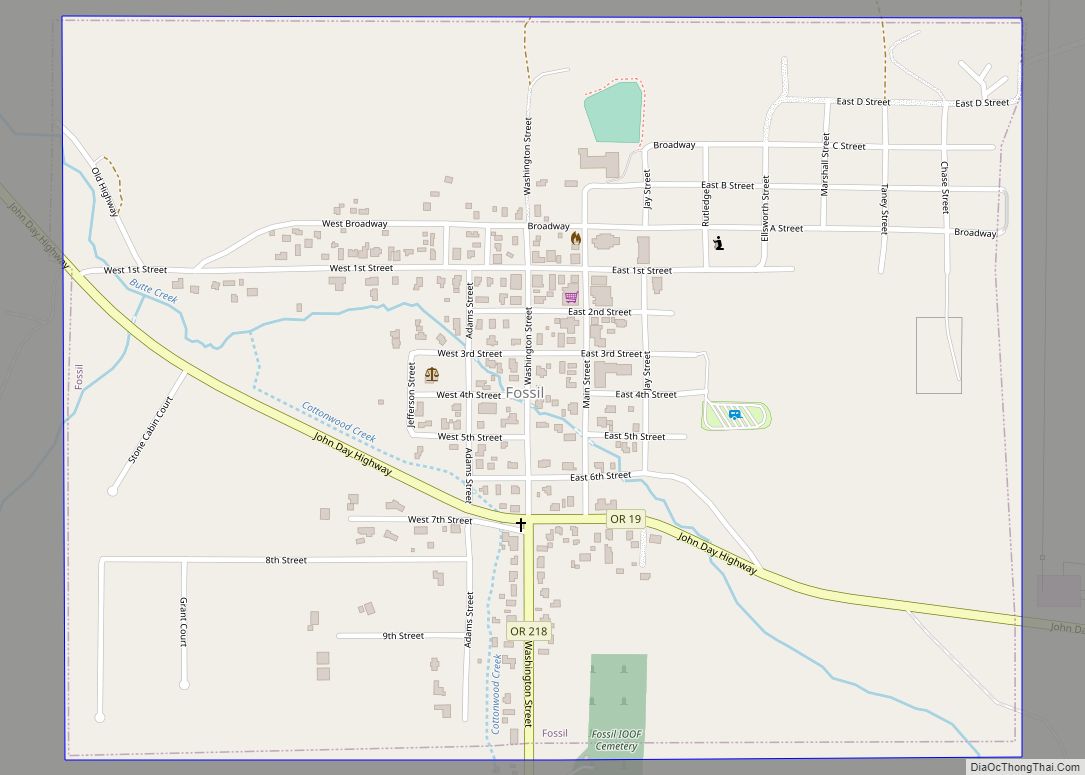
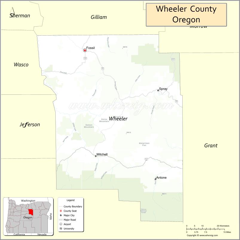
| Seat: | Fossil |
| Largest city: | Fossil |
| Total Area: | 1,715 sq mi (4,440 km²) |
| Land Area: | 1,715 sq mi (4,440 km²) |
| Total Population: | 1,451 |
| Population Density: | 0.8/sq mi (0.3/km²) |
| Time zone: | UTC−8 (Pacific) |
| Summer Time Zone (DST): | UTC−7 (PDT) |
| Website: | www.wheelercountyoregon.com |
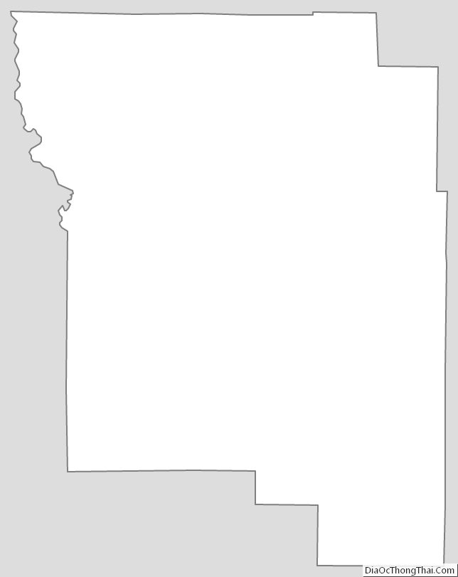
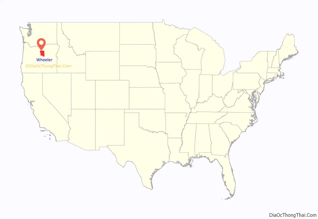
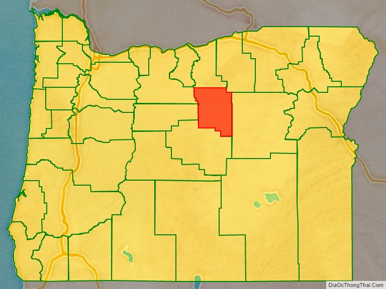
Wheeler County location map. Where is Wheeler County?
History
Wheeler County was created on February 17, 1899, from parts of Grant, Gilliam, and Crook Counties. There have been no boundary changes since its creation. Fossil was designated the temporary county seat at the time of the county’s creation. In 1900 there was an election to determine the permanent county seat between the three towns of the county, which ended with Fossil winning the election.
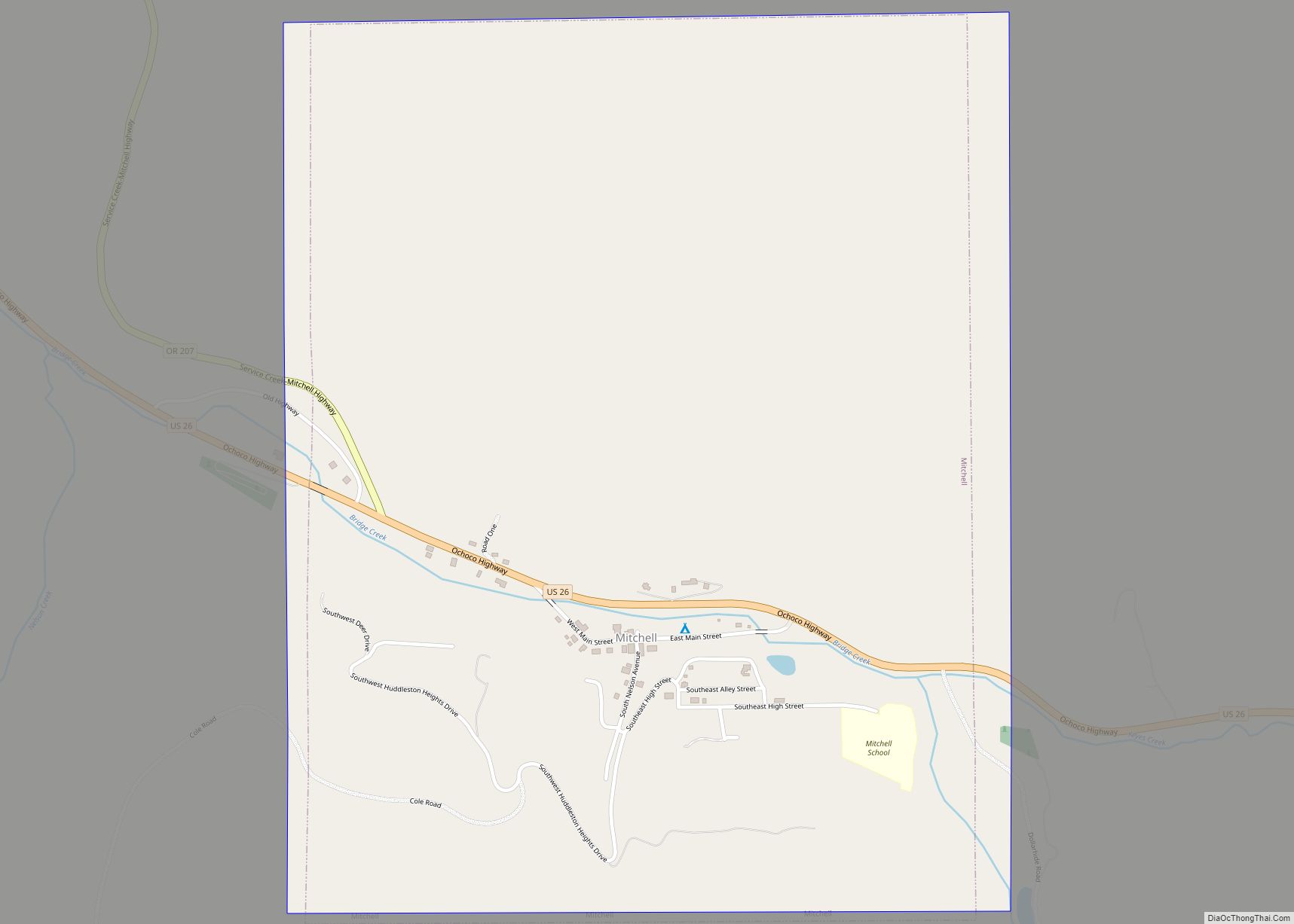
Henry H. Wheeler (born September 7, 1826, Erie County, Pennsylvania – died March 26, 1915, Mitchell, Oregon) arrived in Oregon in 1862, moved around, and settled near Mitchell, Oregon. He married Dorcas L. Monroe on 19 December 1875.
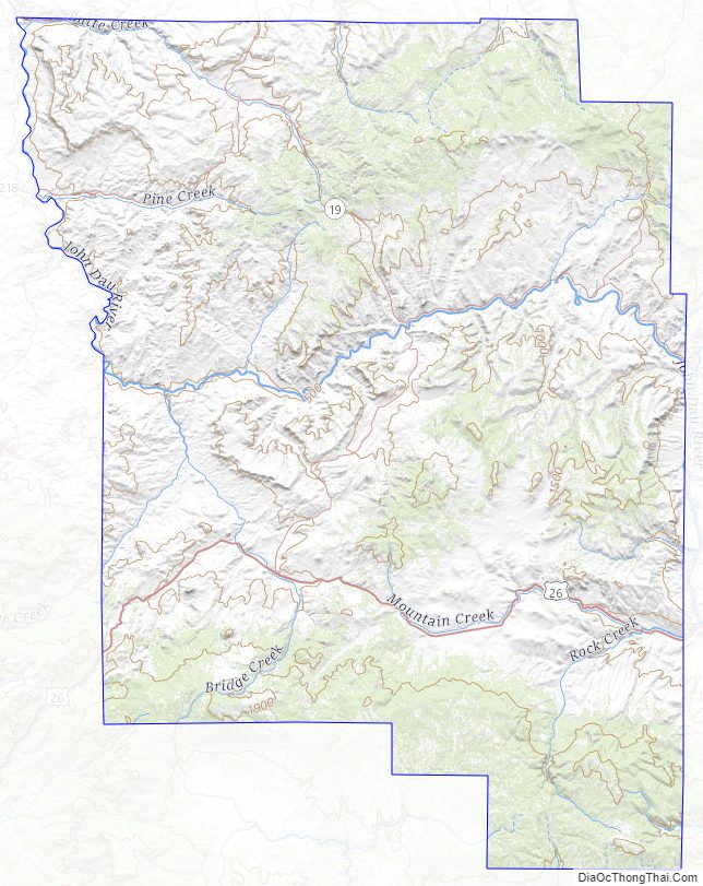
Wheeler County Road Map
Geography
According to the United States Census Bureau, the county has a total area of 1,715 square miles (4,440 km), of which 1,715 square miles (4,440 km) is land and 0.5 square miles (1.3 km) (0.03%) is water.
Adjacent counties
- Gilliam County – north
- Morrow County – northeast
- Grant County – east
- Crook County – south
- Jefferson County – west
- Wasco County – northwest
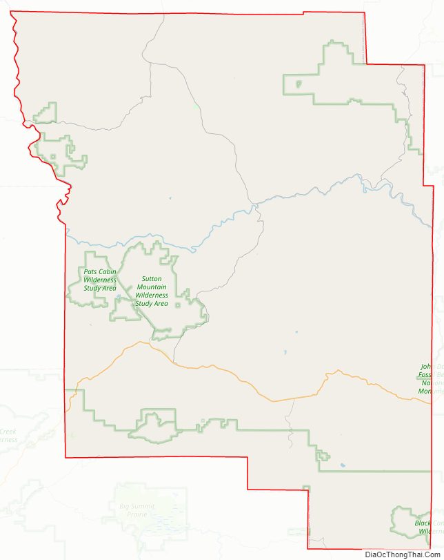
National Protected Areas
- John Day Fossil Beds National Monument (part)
- Ochoco National Forest (part)
- Umatilla National Forest (part)
Major highway
- U.S. Route 26
- Oregon Route 19
Wheeler County Topographic Map
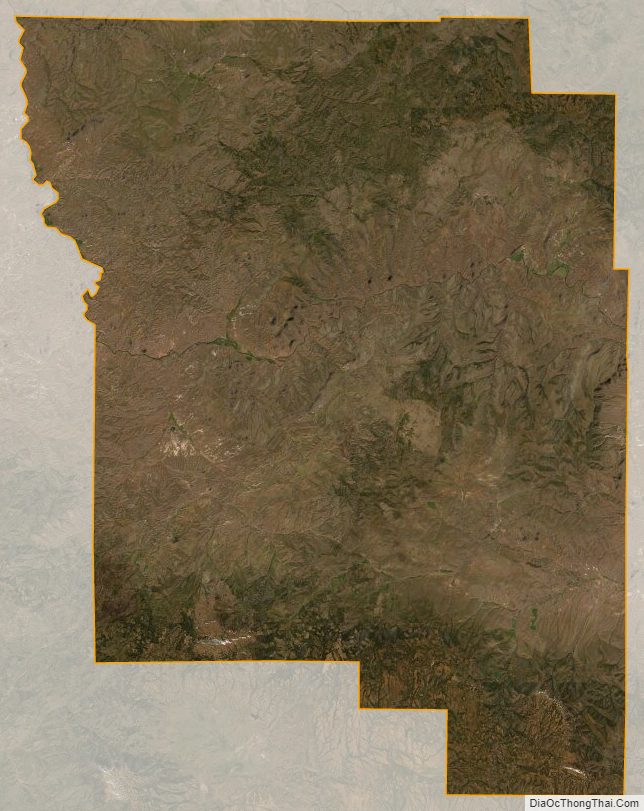
Wheeler County Satellite Map
Wheeler County Outline Map