Cross County is a rural Northeast Arkansas county in the Arkansas Delta. Created as Arkansas’s 53rd county on November 15, 1862, Cross County contains four incorporated municipalities, including Wynne, the county seat and most populous city. It is named for Confederate Colonel David C. Cross, a political leader in the area.
The county is largely flat and fertile, mostly used for row agriculture typical of the rich alluvial soils of the Arkansas Delta. Crowley’s Ridge, a forested deposit of loess hills rising from the flat Delta bisects the county from north to south, including part of Wynne and most of Village Creek State Park, the county’s primary protected area of ecological value. Historical and cultural features range from Parkin Archeological State Park, which preserves a prehistoric Native American mound building settlement, to the Johnston Cotton Gin marking mechanization of the cotton farm, and the Northern Ohio School, a segregated school built by a lumber company for African-American children of employees.
Cross County occupies 622.33 square miles (1,612 ha) and contained a population of 16,833 as of the 2020 census. The economy is largely based on agriculture. Poverty and unemployment rates are above national averages, household incomes are below state and national averages. Politically, Cross County has transitioned from reliably Democratic to steadily Republican since the mid-20th century.
Cross County is mostly served by two school districts: Cross County School District and Wynne Public Schools. Higher education is provided at the Wynne campus of East Arkansas Community College, a public community college. Crossridge Community Hospital in Wynne is a community hospital providing primary care in the county. Although no Interstate highways serve Cross County, the county has access to two United States highways (US Highway 49 [US 49] and US 64) and thirteen Arkansas state highways. Cross County is also served by one public owned/public use general aviation airport, Wynne Municipal Airport, and seven community water systems provide potable water to customers in the county.
| Name: | Cross County |
|---|---|
| FIPS code: | 05-037 |
| State: | Arkansas |
| Founded: | November 15, 1862 |
| Named for: | David C. Cross |
| Seat: | Wynne |
| Largest city: | Wynne |
| Total Area: | 622.33 sq mi (1,611.8 km²) |
| Land Area: | 615.85 sq mi (1,595.0 km²) |
| Total Population: | 16,833 |
| Population Density: | 27/sq mi (10/km²) |
| Time zone: | UTC−6 (Central) |
| Summer Time Zone (DST): | UTC−5 (CDT) |
| Website: | crosscountyar.org |
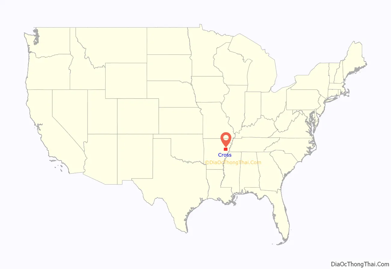
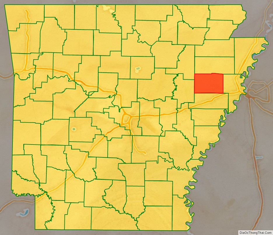
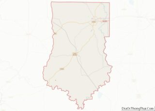
Cross County location map. Where is Cross County?
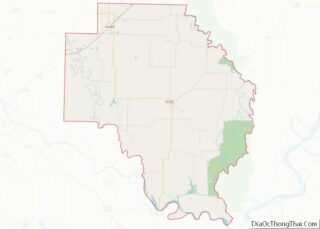
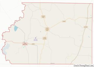
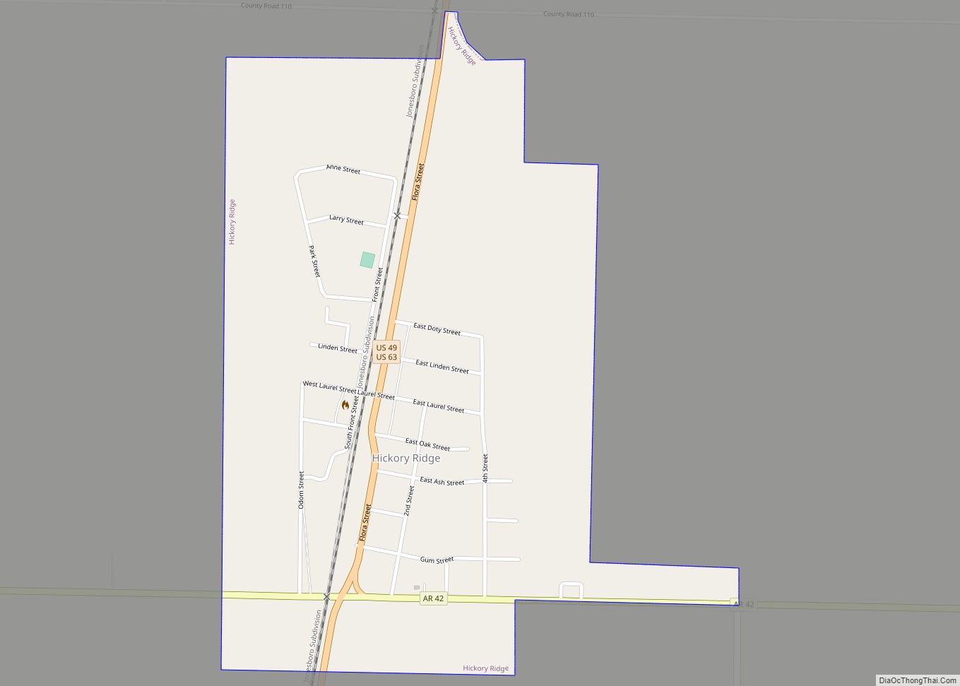
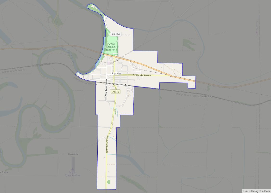
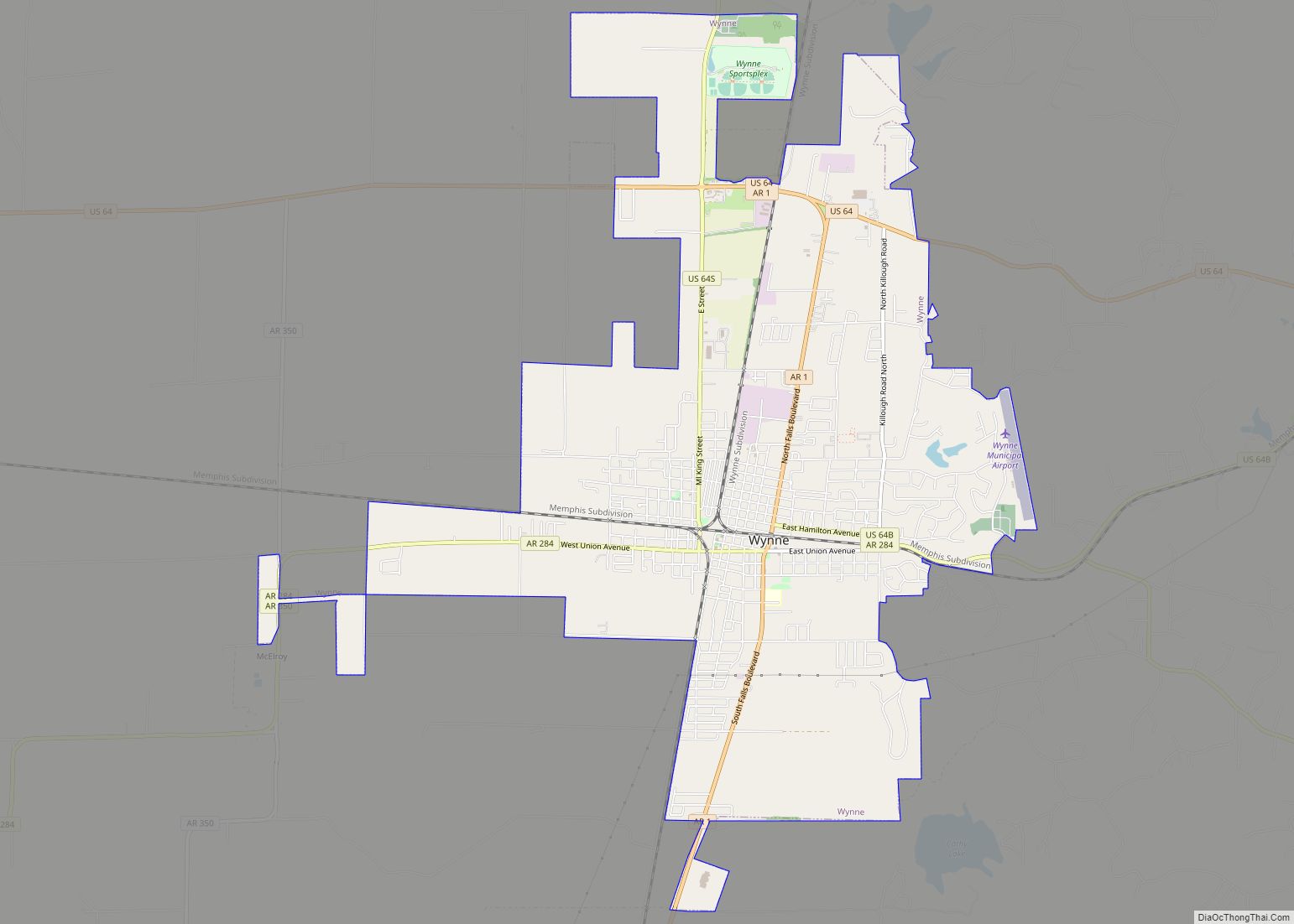
Cross County Road Map
Geography
Cross County is established on the rich, fertile, alluvial soils of the Mississippi Alluvial Plain. In Arkansas, this region is called the Arkansas Delta (in Arkansas, usually referred to as “the Delta”), having a distinct history and culture from adjacent regions. Bisecting the county from north to south is Crowley’s Ridge, a geologic anomaly rising from the Delta composed of loess soil and generally remains covered in oak-hickory forest. Today, the majority (68 percent) of the county is used for row agriculture.
Roughly the western third of the county is within the Western Lowlands Pleistocene Valley Train subregion of the Delta. This region is characterized as flat windblown deposits of silty, sandy soils, and loess with a high groundwater table. Post oak and loblolly pine are native in the higher elevations, with overcup oak, water hickory, willow oak, and pin oak and pondberry native in wetlands. Today, row agriculture is extensive (mostly soybeans and cotton), with commercial aquaculture (crawfish, baitfish, and catfish farms) also common.
Crowley’s Ridge is a series of loess hills more closely associated with the Appalachian Mountains of Tennessee and Kentucky than the Delta country surrounding it. Composed of sandy loess stacked on gravel deposits later eroded by streams into ravines, Crowley’s Ridge rises from the flat Delta by up to 500 feet (150 m). Crowley’s Ridge remains largely wooded with oak-hickory forest or beech–maple forest, with little land in cultivation. Forests are related to the Appalachian cove forests, with post oak, blackjack oak, southern red oak, white oak, beech and sugar maple forest standing in contrast to the southern floodplain forests in the rest of Cross County.
The eastern third of Cross County is split between the Northern Holocene Meander Belts and St. Francis Lowlands, both subregions historically influenced by the Mississippi River. Both regions are flat, poorly drained areas consisting of former river channels, drainageways, and floodplains drained in the late 19th century for settlement and row agriculture. Today consisting of farm fields, channelized drainage ditches, levees, the area is predominantly in soybean and cotton cultivation, with some corn, wheat, rice, and sorghum. Remaining natural areas consist of sugarberry, elm, ash tree, pecan, cottonwood, and sycamores. Sandy “Sunk lands” are attributed to the 1811–12 New Madrid earthquakes.
Given Cross County’s position along the Mississippi Flyway, many natural areas and grain fields serve as wintering ground for water fowl. Duck hunting is popular in the Delta, including Cross County.
According to the U.S. Census Bureau, the county has a total area of 622.33 square miles (1,611.8 km), of which 615.85 square miles (1,595.0 km) is land and 6.48 square miles (16.8 km) (1.0%) is water. It ranks 49th of the 75 Arkansas counties in area.
The county is located approximately 46 miles (74 km) south of Jonesboro, 48 miles (77 km) west of Memphis, Tennessee, and 105 miles (169 km) east of Little Rock. Cross County is surrounded by five other Delta counties: Crittended County to the east, St. Francis County to the south, Woodruff County to the west, Jackson County to the northwest, and Poinsett County to the north.
Hydrology
Water is an important part of Cross County’s geography, history, and culture. Hydraulically, the county is split into two watersheds by Crowley’s Ridge, with the eastern half draining to the St. Francis River or its tributaries, and the western half draining to the L’Anguille River.
The deep, wide, calm, and navigable St. Francis River has been important for every civilization in Cross County since prehistory. The Casqui tribe settled in the area where the Tyronza River empties into the St. Francis. Today, this settlement is preserved within Parkin Archaeological State Park. Centuries later, European settlers founded Wittsburg as a port city as the northernmost navigable point on the St. Francis a few miles downstream from Parkin, opening the region to regional trade. Within the county, Brushy Creek, Cross County Ditch, Copeland Slough, Prairie Creek, and Village Creek are important watercourses.
Protected areas
The largest protected area in Cross County is Village Creek State Park on Crowley’s Ridge near Wynne. The park is known as a large section of preserved forest in its natural state within the Delta, a 27-hole golf course, catfish and bass fishing in the two lakes, horseback riding trails, and a hiking trail along the former Memphis to Little Rock Military Road. The Parkin Archeological State Park in Parkin preserves a prehistoric Native American mound building settlement.
The Brushy Creek Wildlife Management Area is a small property reforested in bottomland hardwood forest by the Arkansas Game and Fish Commission near Hickory Ridge. The Arkansas Natural Heritage Commission maintains the Wittsburg Natural Area as natural Crowley’s Ridge habitat, but there is no legal public access to the area.
