Willimantic is a census-designated place located in the town of Windham in Windham County, Connecticut, United States. It is a former city and borough, and is currently organized as one of two tax districts within the Town of Windham. Willimantic is part of the Southeastern Connecticut Planning Region. Known as “Thread City” for the American Thread Company’s mills along the Willimantic River, it was a center of the textile industry in the 19th century. Originally incorporated as a city in 1893, it entered a period of decline after the Second World War, culminating in the mill’s closure and the city’s reabsorption into the town of Windham in the 1980s. Heroin use, present since the 1960s, became a major public health problem in the early 2000s, declining somewhat by the 2010s. Though the city was a major rail hub, an Interstate Highway has never passed within ten miles, despite early plans to connect it.
Willimantic was populated by a series of ethnic groups migrating to the city to find work at the mills, originally Western European and French Canadian immigrants, later Eastern Europeans and Puerto Ricans. Architecturally, it is known for its collection of Victorian-era houses and other buildings in the hill section, the Romanesque Revival town hall and two crossings of the Willimantic River: a footbridge and the “Frog Bridge”. It is home to Eastern Connecticut State University and the Windham Textile and History Museum. As of 2020, Willimantic had a population of 18,149 people.
| Name: | Willimantic CDP |
|---|---|
| LSAD Code: | 57 |
| LSAD Description: | CDP (suffix) |
| State: | Connecticut |
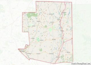
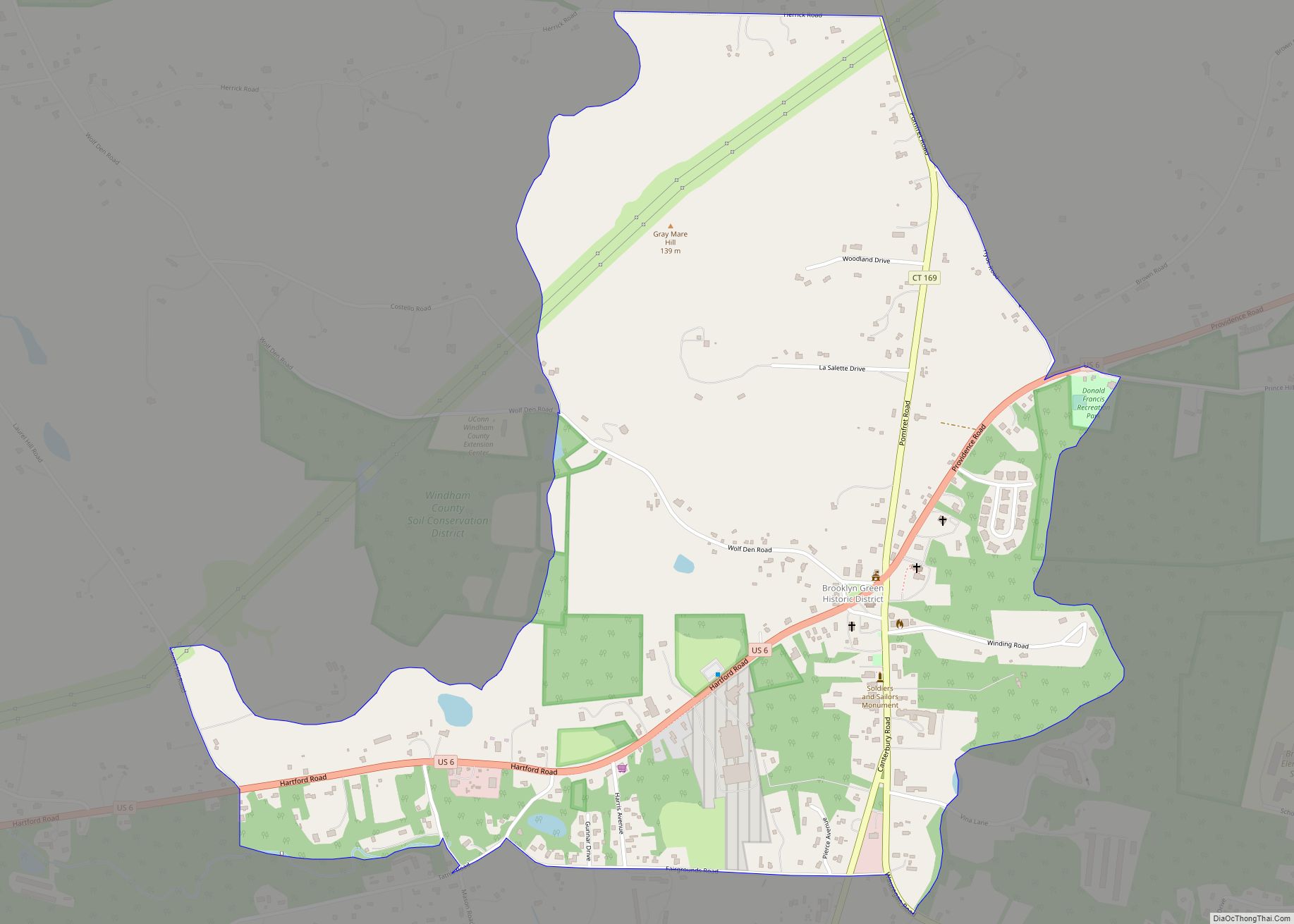
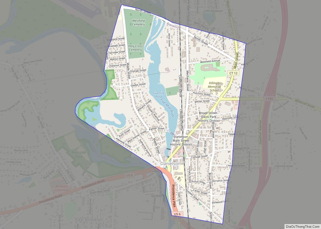
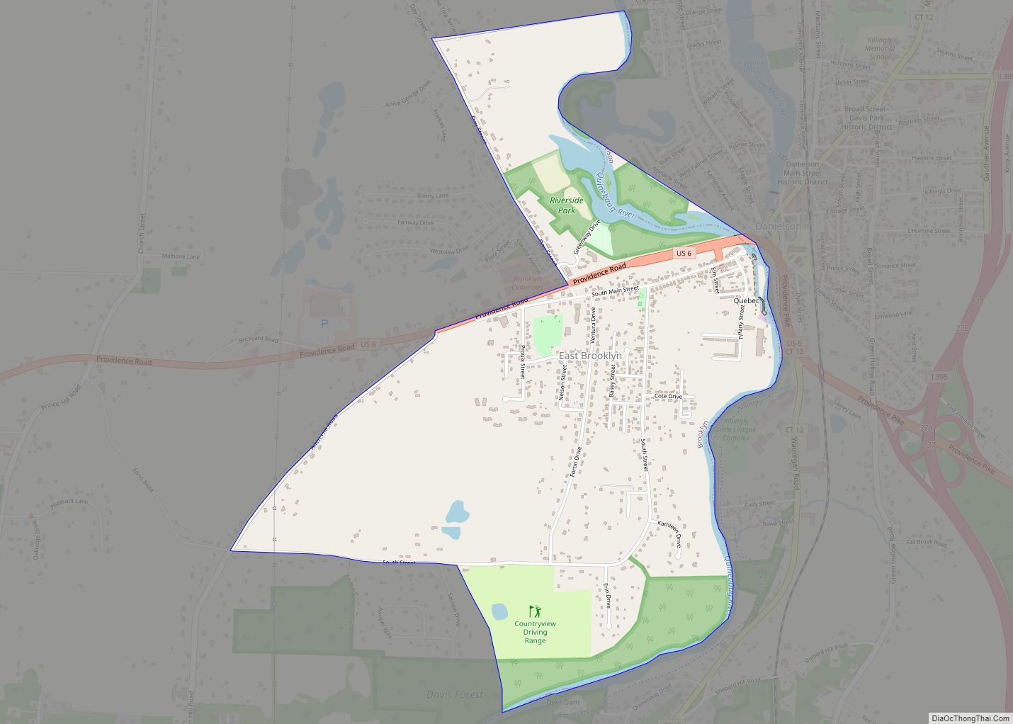
| County: | Windham County |
| Land Area: | 4.4 sq mi (11.4 km²) |
| Water Area: | 0.1 sq mi (0.3 km²) |
| Population Density: | 4,120/sq mi (1,592/km²) |
| ZIP code: | 06226 |
| Area code: | 860/959 |
| FIPS code: | 0985810 |
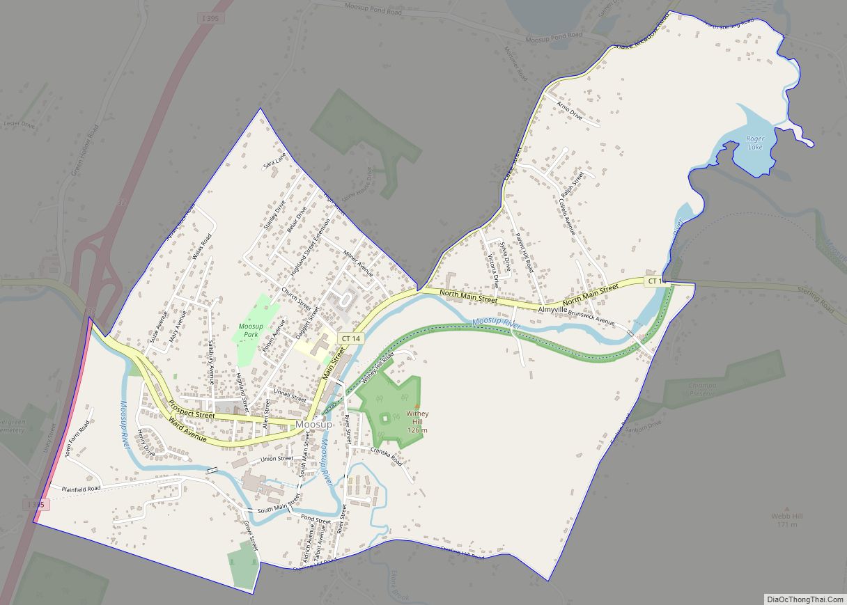
Online Interactive Map
Click on ![]() to view map in "full screen" mode.
to view map in "full screen" mode.
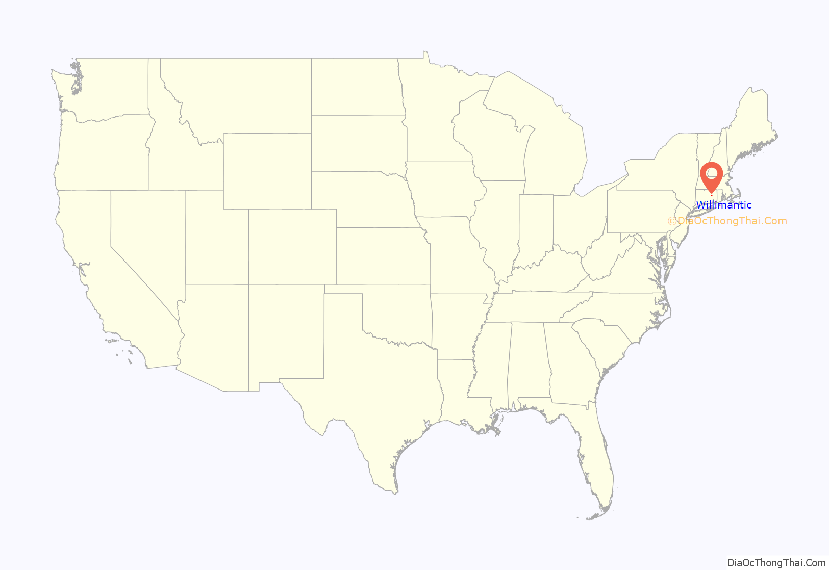
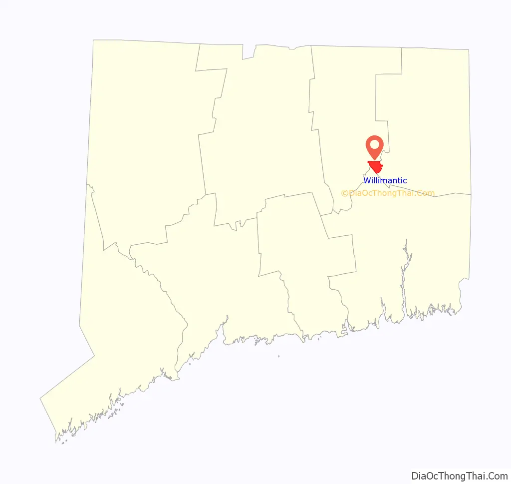
Willimantic location map. Where is Willimantic CDP?
History
Willimantic is named for the Willimantic River which passes through it. The word was first attested in English writing as Waramanticut in 1684, and later as Wallamanticuk, Wewemantic and Weammantuck before being standardized as Willimantic. The word is of Algonquian origin, either Mohegan-Pequot or Narragansett. It is commonly translated as “land of the swift running water”, but the word more likely means “place near the evergreen swamp”.
The surrounding town of Windham was founded in 1693 on land bequeathed by the Mohegan people. The first settler in what is now Willimantic was Samuel Ashley, who bought property there in 1717. Until it was industrialized, the area was called “Willimantic Falls”. The first mill to be established was a picking and carding facility for wool, in 1806. Other mills followed, most notably a series of thread mills starting in 1822. As the city grew, it was incorporated as a borough in 1833. Willimantic became known as “Thread City” for the proliferation of textile mills, primarily thread, along the river.
Willimantic became a city when its charter was revised in 1893. Up to the outbreak of World War II, it continued to be a center for the production of silk and cotton thread. Various groups of immigrants arrived over the years to work in the mills. The city was a major rail hub; in the early twentieth century, as many as a hundred trains ran through Willimantic daily. Ornate Victorian homes were built in the town’s Prospect Hill section, and the town prospered, growing from a population of less than 5,000 in 1860 to more than 12,100 by 1910.
But hard times followed; American Thread moved to North Carolina in 1985 and without it, the town’s economy floundered. The city consolidated back into the town in 1983. The poverty rate, at 25.9%, was more than double the state average in 2010.
In 2002, The Hartford Courant ran an investigative series called “Heroin Town” describing rampant heroin use in Willimantic, disproportionate to the town’s small size, which was followed by a 60 Minutes segment in 2003. The coverage upset local residents, and the state appointed a task force to study the issue. The Hotel Hooker, long known for drug use and prostitution, was renamed to the Seth Chauncey Hotel and put under new management in 2004, then renamed Windham House in 2005. Drug and prostitution arrests peaked in the late 2000s with increased enforcement, and began to fall by 2010.
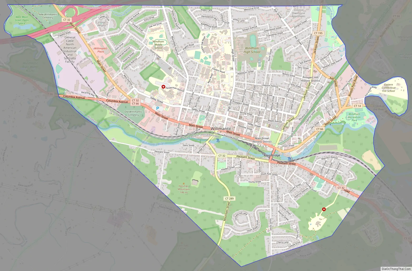
Willimantic Road Map
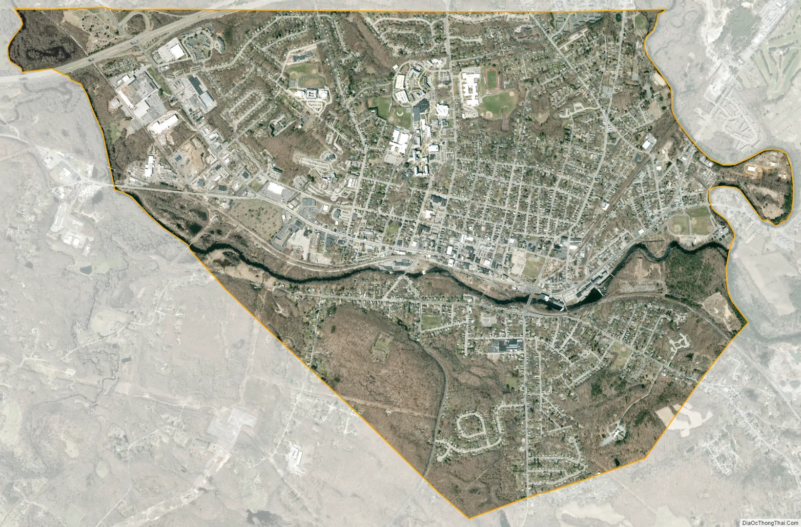
Willimantic city Satellite Map
Geography
According to the United States Census Bureau, the census-designated place (CDP) has a total area of 4.5 square miles (12 km). 4.4 square miles (11 km) of it is land and 0.1 square miles (0.26 km) of it (2.23%) is water. The Willimantic River and the Natchuag River converge to form the Shetucket River in southeastern Willimantic. The Hop River also flows into the Willimantic River at the western border.
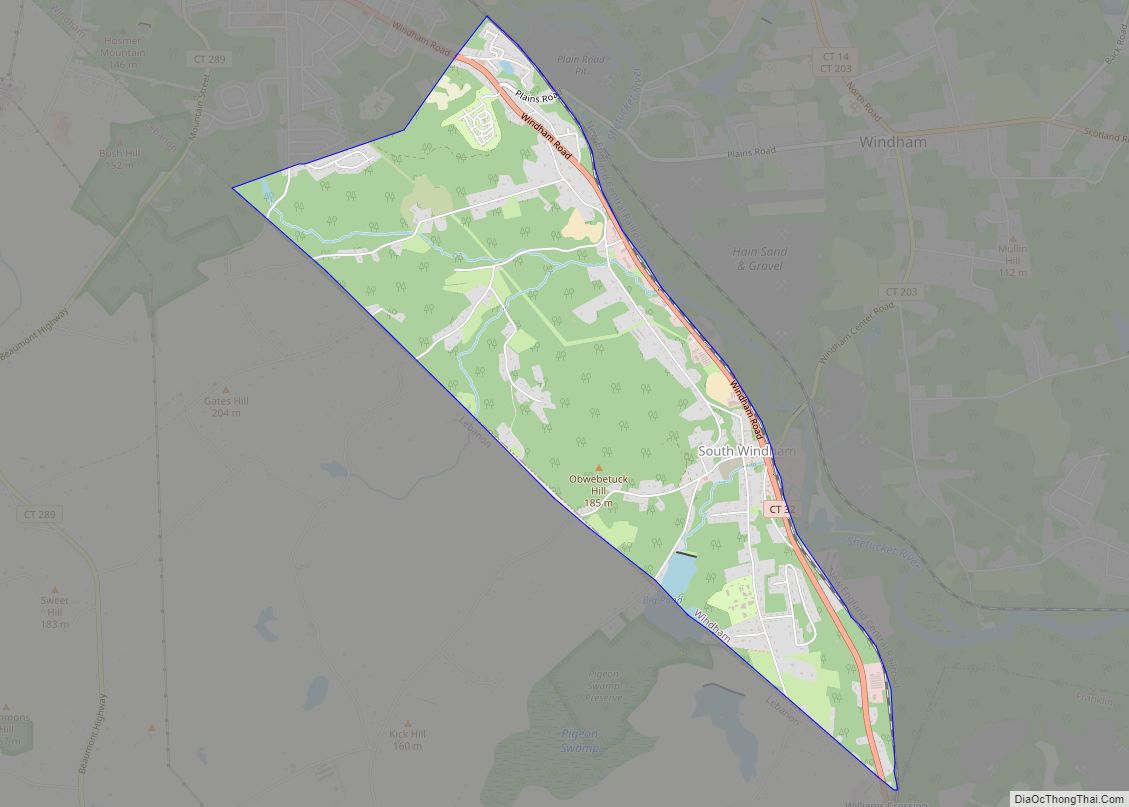
Willimantic is in part bordered by rivers. Its western border follows the Willimantic River; its eastern border is formed by the Natchuag and Shetucket Rivers. The CDP borders the towns of Coventry, Mansfield, Columbia, and Lebanon. It also borders the CDPs of South Windham (which is in the same town as Willimantic) and Mansfield Center.
Climate
See also
Map of Connecticut State and its subdivision: Map of other states:- Alabama
- Alaska
- Arizona
- Arkansas
- California
- Colorado
- Connecticut
- Delaware
- District of Columbia
- Florida
- Georgia
- Hawaii
- Idaho
- Illinois
- Indiana
- Iowa
- Kansas
- Kentucky
- Louisiana
- Maine
- Maryland
- Massachusetts
- Michigan
- Minnesota
- Mississippi
- Missouri
- Montana
- Nebraska
- Nevada
- New Hampshire
- New Jersey
- New Mexico
- New York
- North Carolina
- North Dakota
- Ohio
- Oklahoma
- Oregon
- Pennsylvania
- Rhode Island
- South Carolina
- South Dakota
- Tennessee
- Texas
- Utah
- Vermont
- Virginia
- Washington
- West Virginia
- Wisconsin
- Wyoming