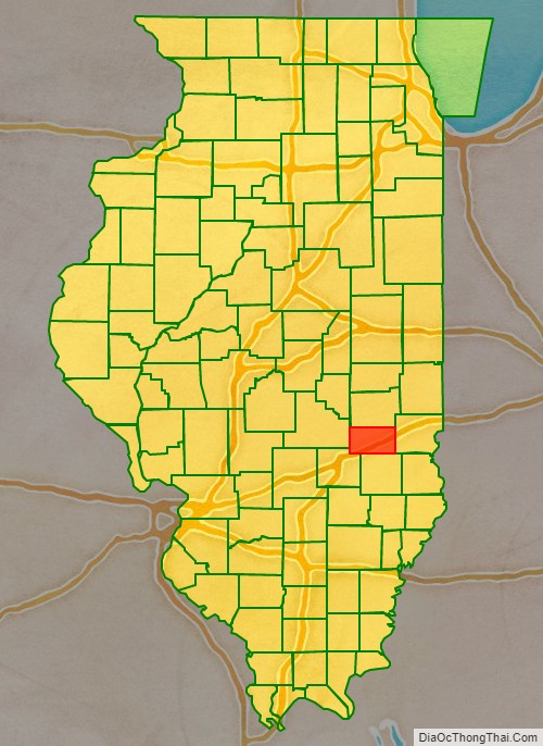
Cumberland County is a county located in the U.S. state of Illinois. As of the 2010 census, the population was 11,048. Its county seat is Toledo.
Cumberland County is part of the Charleston–Mattoon, IL Micropolitan Statistical Area.
| Name: | Cumberland County |
|---|---|
| FIPS code: | 17-035 |
| State: | Illinois |
| Founded: | 1823 |
| Named for: | Cumberland Road |
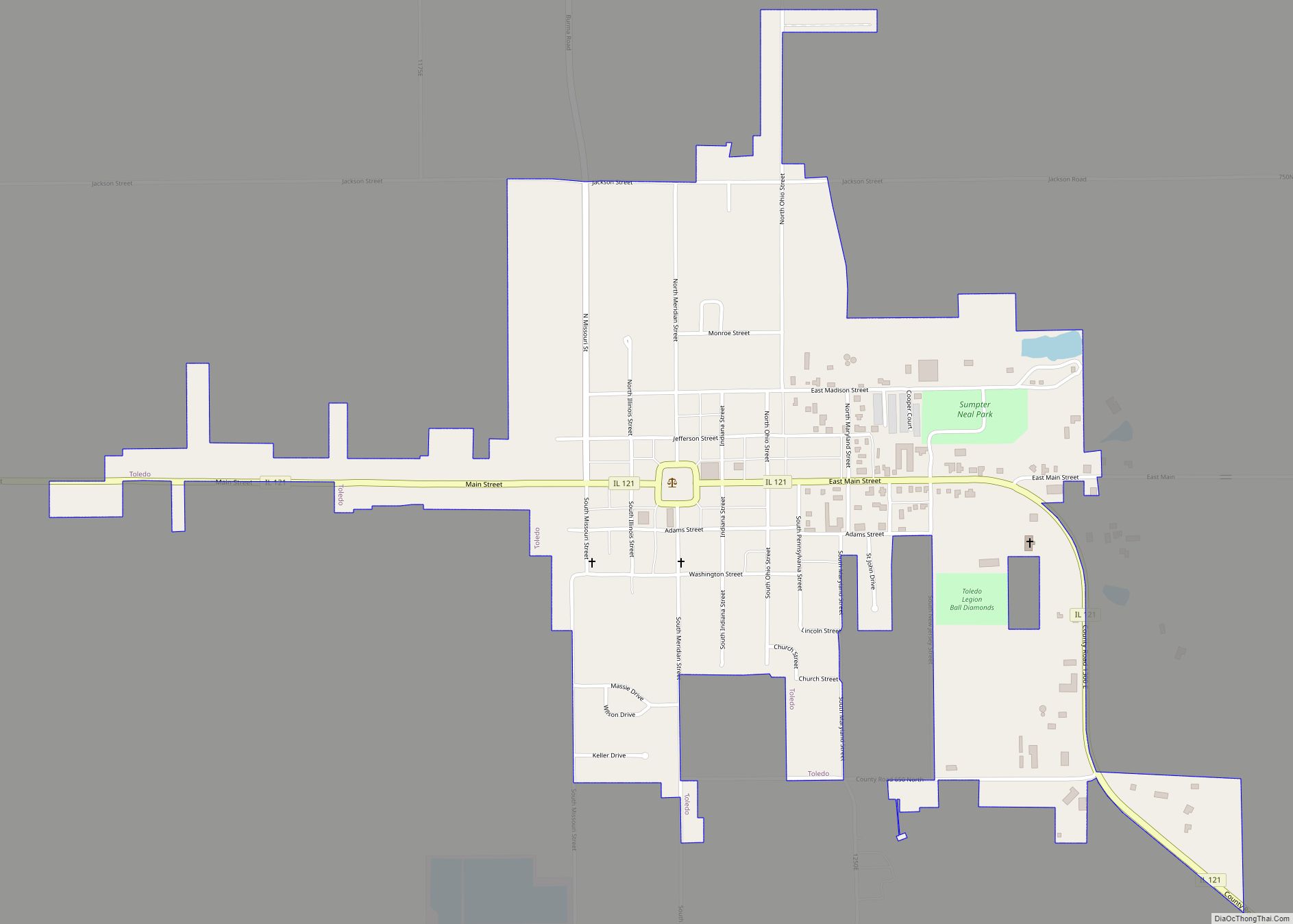
| Seat: | Toledo |
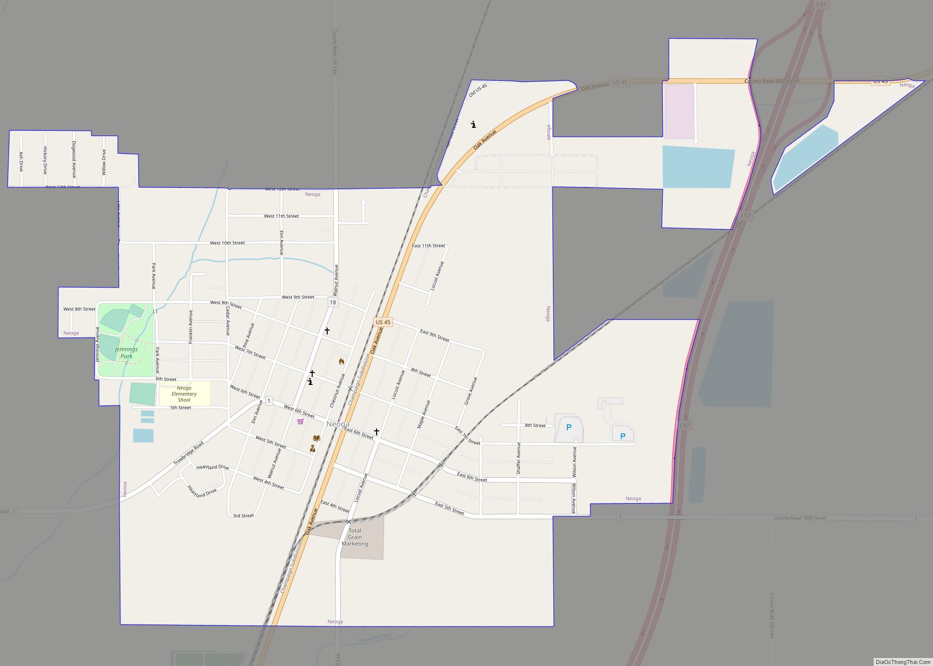
| Largest city: | Neoga |
| Total Area: | 347 sq mi (900 km²) |
| Land Area: | 346 sq mi (900 km²) |
| Total Population: | 10,450 |
| Population Density: | 30/sq mi (12/km²) |
| Website: | cumberlandcoil.gov |
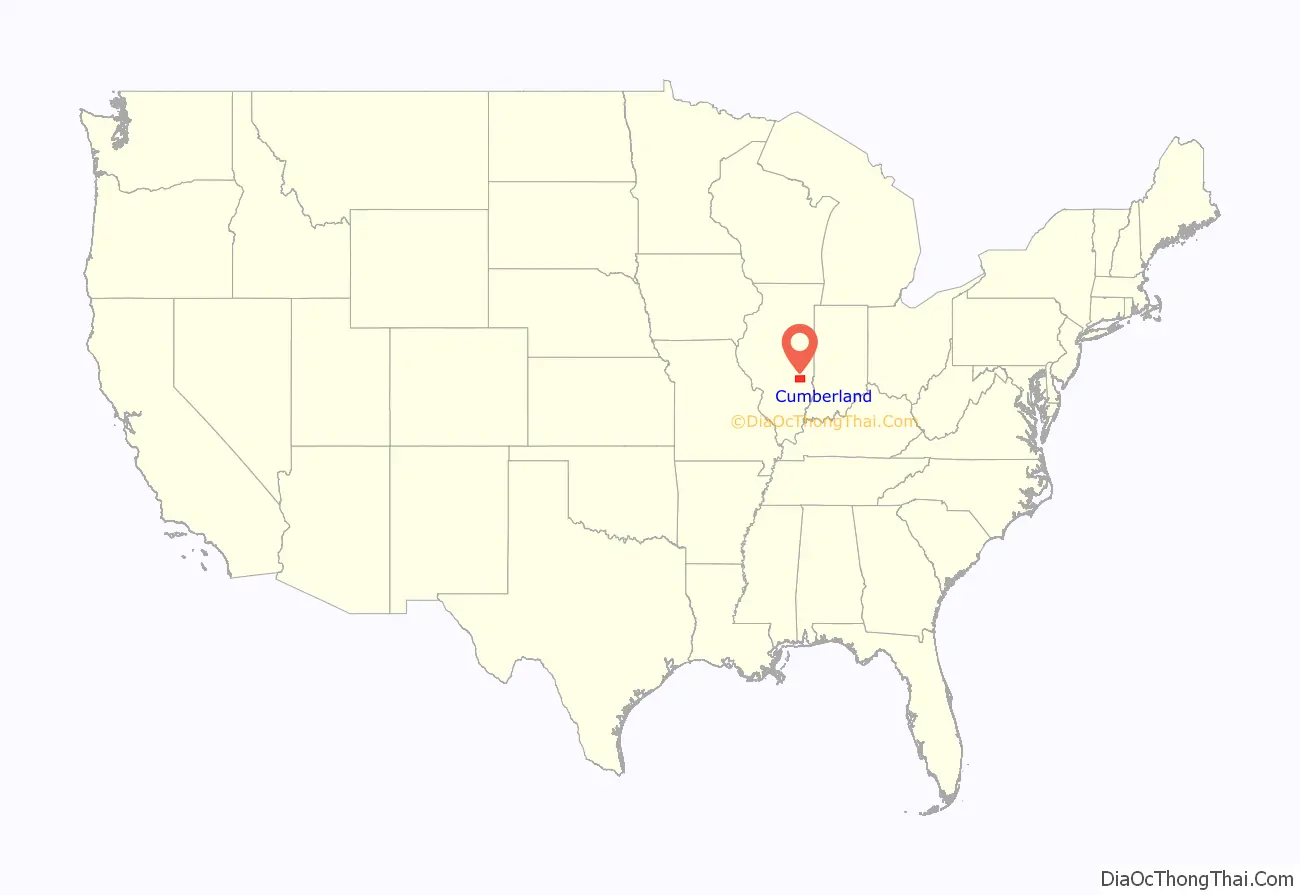
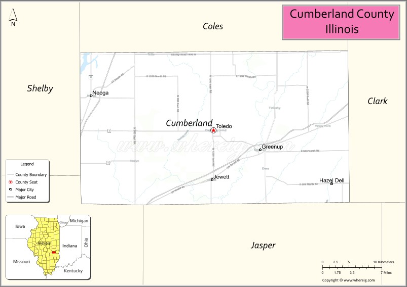
Cumberland County location map. Where is Cumberland County?
History
Cumberland County was created on March 2, 1823, from parts of Coles County. It is named for the National Road (Cumberland Road), which was projected to run through it.
Cumberland County at the time of its creation in 1823
Cumberland County Road Map
Geography
According to the U.S. Census Bureau, the county has a total area of 347 square miles (900 km), of which 346 square miles (900 km) is land and 1.0 square mile (2.6 km) (0.3%) is water.
Climate and weather
In recent years, average temperatures in the county seat of Toledo have ranged from a low of 17 °F (−8 °C) in January to a high of 86 °F (30 °C) in July, although a record low of −23 °F (−31 °C) was recorded in January 1985 (jobs) and a record high of 111 °F (44 °C) was recorded in July 1954. Average monthly precipitation ranged from 2.03 inches (52 mm) in January to 4.21 inches (107 mm) in June.
Adjacent counties
- Coles County – north
- Clark County – east
- Jasper County – south
- Effingham County – southwest
- Shelby County – west
Major highways
- Interstate 57
- Interstate 70
- U.S. Route 40
- U.S. Route 45
- Illinois Route 49
- Illinois Route 121
- Illinois Route 130
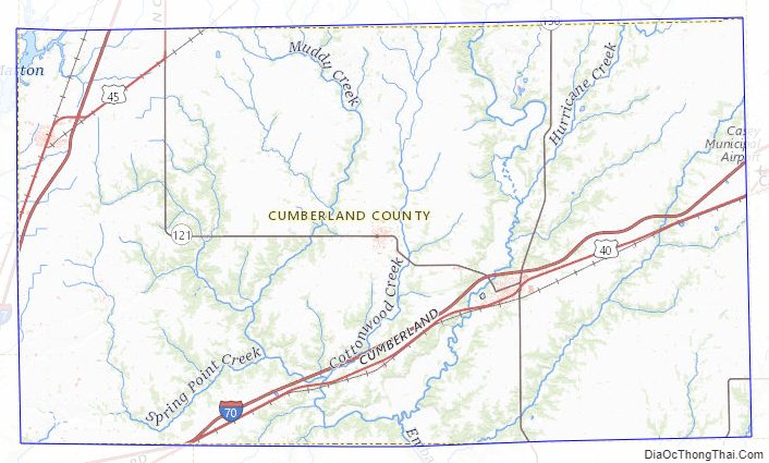
Cumberland County Topographic Map
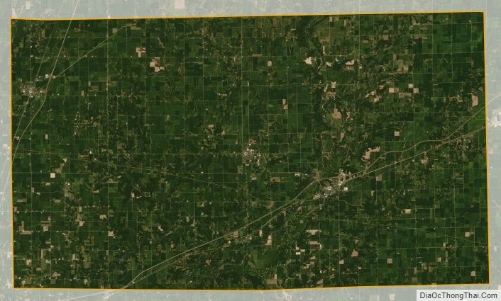
Cumberland County Satellite Map
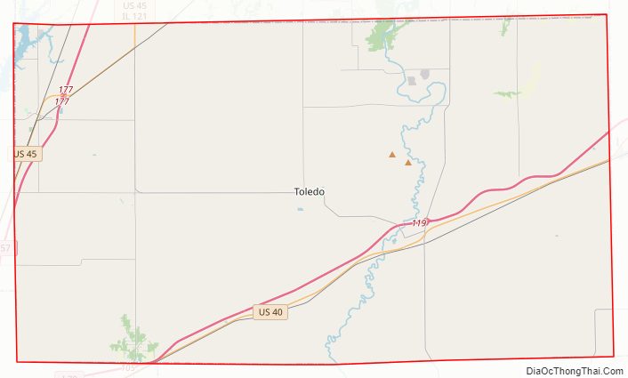
Cumberland County Outline Map