Greenup is a village in Cumberland County, Illinois, United States, along the Embarras River. The population was 1,365 at the 2020 census. It is part of the Charleston–Mattoon Micropolitan Statistical Area.
Greenup received its name from National Road surveyor, William C. Greenup who platted the town in 1834. He was one of the supervisors hired to oversee construction of the National Road in Illinois, surveying the original alignment from Marshall to Vandalia during the 1830s. The village of Greenup served as the Cumberland County seat from 1843 to 1857.
| Name: | Greenup village |
|---|---|
| LSAD Code: | 47 |
| LSAD Description: | village (suffix) |
| State: | Illinois |
| County: | Cumberland County |
| Elevation: | 594 ft (181 m) |
| Total Area: | 1.75 sq mi (4.53 km²) |
| Land Area: | 1.75 sq mi (4.53 km²) |
| Water Area: | 0.00 sq mi (0.00 km²) |
| Total Population: | 1,365 |
| Population Density: | 780.00/sq mi (301.20/km²) |
| ZIP code: | 62428 |
| Area code: | 217 |
| FIPS code: | 1731524 |
| Website: | villageofgreenup.com |
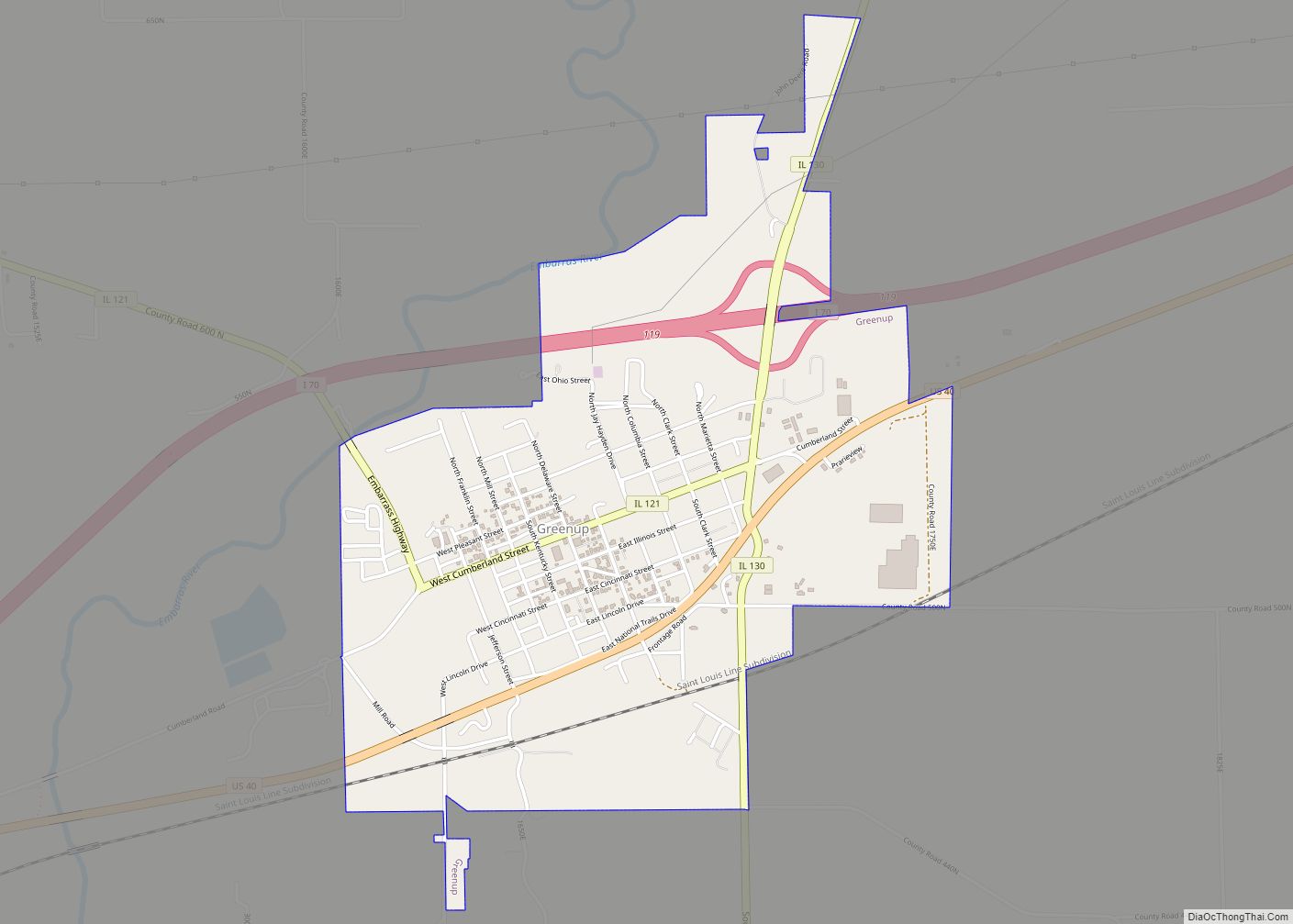
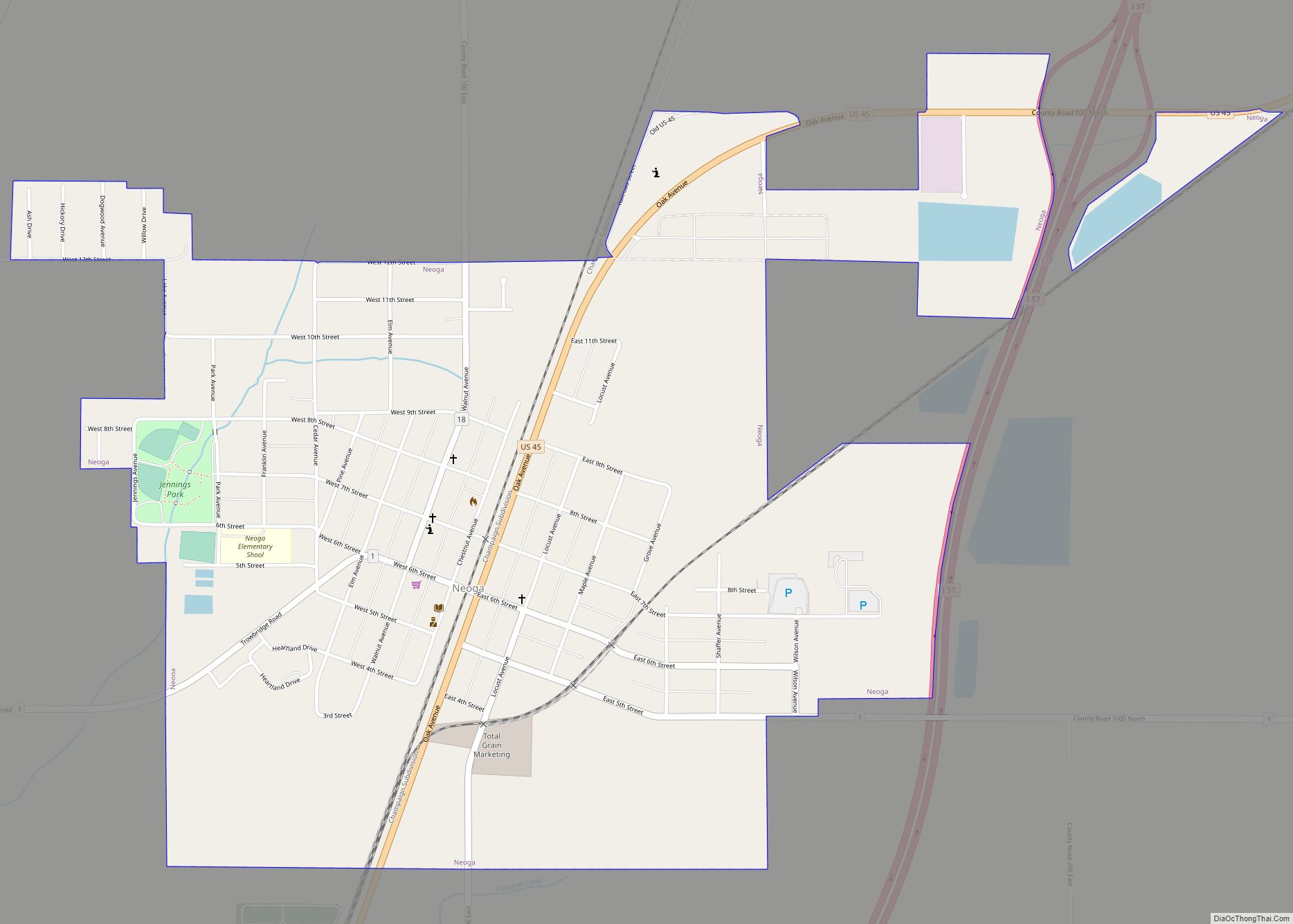
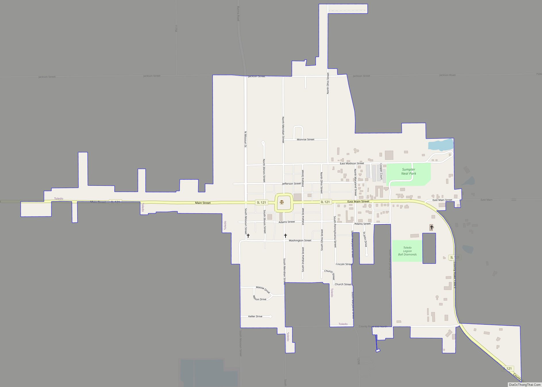
Online Interactive Map
Click on ![]() to view map in "full screen" mode.
to view map in "full screen" mode.
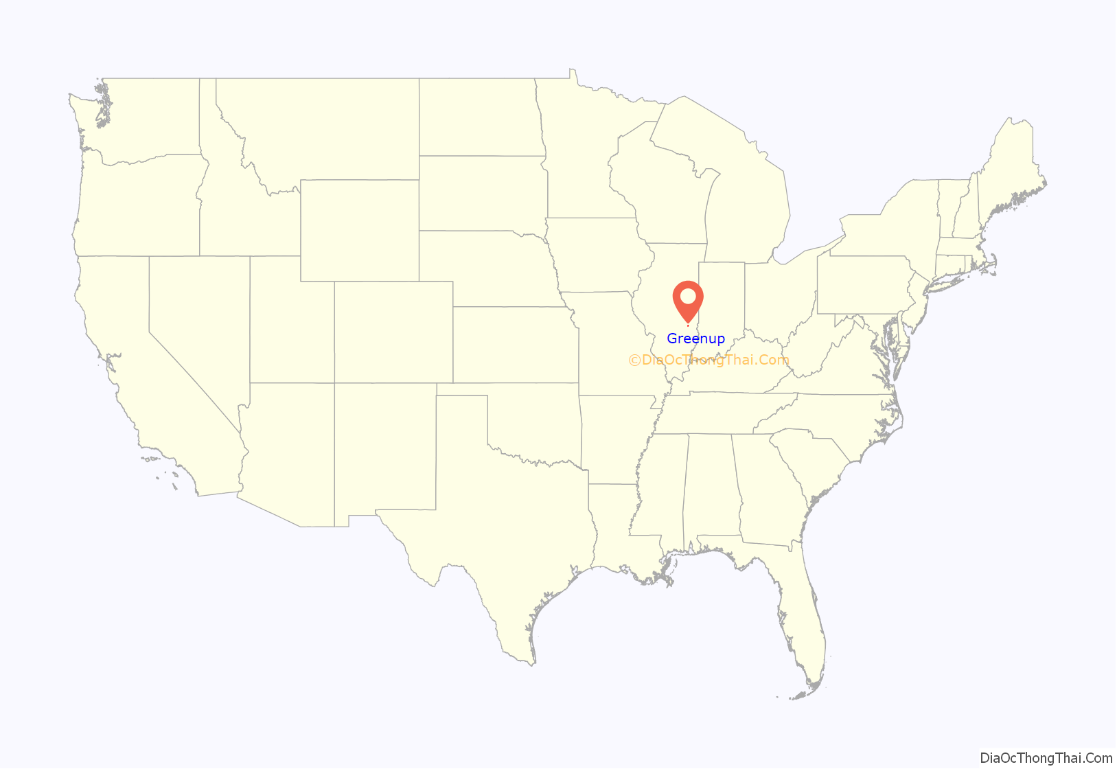
Greenup location map. Where is Greenup village?
History
Greenup was platted in 1834, and served as Cumberland County’s first county seat from 1843 to 1855.
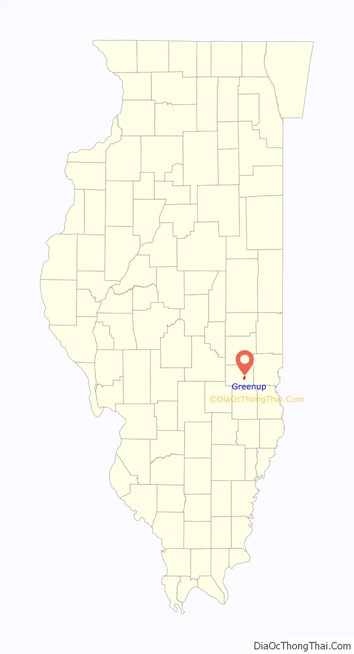
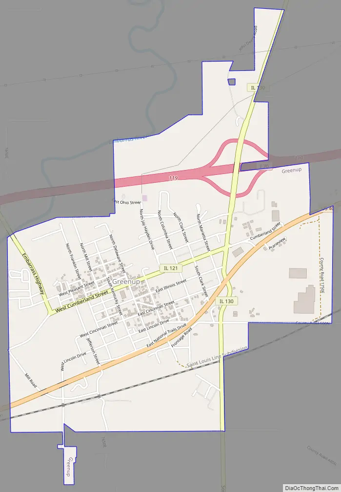
Greenup Road Map
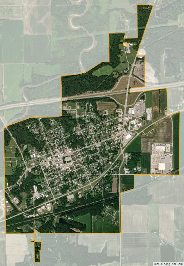
Greenup city Satellite Map
Geography
Greenup is located southeast of the center of Cumberland County at 39°14′50″N 88°9′44″W / 39.24722°N 88.16222°W / 39.24722; -88.16222 (39.247273, -88.162131). The Embarras River is a tributary of the Wabash River which runs past the northwest corner of the village. U.S. Route 40 runs through the village to the south of its center, while Interstate 70 runs through the northern corner of the village with access from Exit 119 (Illinois Route 130). Effingham is 22 miles (35 km) to the west, while Terre Haute, Indiana, is 44 miles (71 km) to the east.
According to the 2021 census gazetteer files, Greenup has a total area of 1.75 square miles (4.53 km), of which 1.75 square miles (4.53 km) (or 99.94%) is land and 0.00 square miles (0.00 km) (or 0.06%) is water.
See also
Map of Illinois State and its subdivision:- Adams
- Alexander
- Bond
- Boone
- Brown
- Bureau
- Calhoun
- Carroll
- Cass
- Champaign
- Christian
- Clark
- Clay
- Clinton
- Coles
- Cook
- Crawford
- Cumberland
- De Kalb
- De Witt
- Douglas
- Dupage
- Edgar
- Edwards
- Effingham
- Fayette
- Ford
- Franklin
- Fulton
- Gallatin
- Greene
- Grundy
- Hamilton
- Hancock
- Hardin
- Henderson
- Henry
- Iroquois
- Jackson
- Jasper
- Jefferson
- Jersey
- Jo Daviess
- Johnson
- Kane
- Kankakee
- Kendall
- Knox
- La Salle
- Lake
- Lake Michigan
- Lawrence
- Lee
- Livingston
- Logan
- Macon
- Macoupin
- Madison
- Marion
- Marshall
- Mason
- Massac
- McDonough
- McHenry
- McLean
- Menard
- Mercer
- Monroe
- Montgomery
- Morgan
- Moultrie
- Ogle
- Peoria
- Perry
- Piatt
- Pike
- Pope
- Pulaski
- Putnam
- Randolph
- Richland
- Rock Island
- Saint Clair
- Saline
- Sangamon
- Schuyler
- Scott
- Shelby
- Stark
- Stephenson
- Tazewell
- Union
- Vermilion
- Wabash
- Warren
- Washington
- Wayne
- White
- Whiteside
- Will
- Williamson
- Winnebago
- Woodford
- Alabama
- Alaska
- Arizona
- Arkansas
- California
- Colorado
- Connecticut
- Delaware
- District of Columbia
- Florida
- Georgia
- Hawaii
- Idaho
- Illinois
- Indiana
- Iowa
- Kansas
- Kentucky
- Louisiana
- Maine
- Maryland
- Massachusetts
- Michigan
- Minnesota
- Mississippi
- Missouri
- Montana
- Nebraska
- Nevada
- New Hampshire
- New Jersey
- New Mexico
- New York
- North Carolina
- North Dakota
- Ohio
- Oklahoma
- Oregon
- Pennsylvania
- Rhode Island
- South Carolina
- South Dakota
- Tennessee
- Texas
- Utah
- Vermont
- Virginia
- Washington
- West Virginia
- Wisconsin
- Wyoming