Greenville is a city in and the county seat of Darke County, Ohio, United States, near Ohio’s western edge, about 33 miles northwest of Dayton. The population was 13,227 at the 2010 census.
| Name: | Greenville city |
|---|---|
| LSAD Code: | 25 |
| LSAD Description: | city (suffix) |
| State: | Ohio |
| County: | Darke County |
| Elevation: | 1,043 ft (318 m) |
| Total Area: | 6.72 sq mi (17.39 km²) |
| Land Area: | 6.65 sq mi (17.23 km²) |
| Water Area: | 0.06 sq mi (0.16 km²) |
| Total Population: | 12,786 |
| Population Density: | 1,922.13/sq mi (742.09/km²) |
| ZIP code: | 45331 |
| Area code: | 937, 326 |
| FIPS code: | 3932340 |
| GNISfeature ID: | 1064762 |
| Website: | http://www.cityofgreenville.org/ |
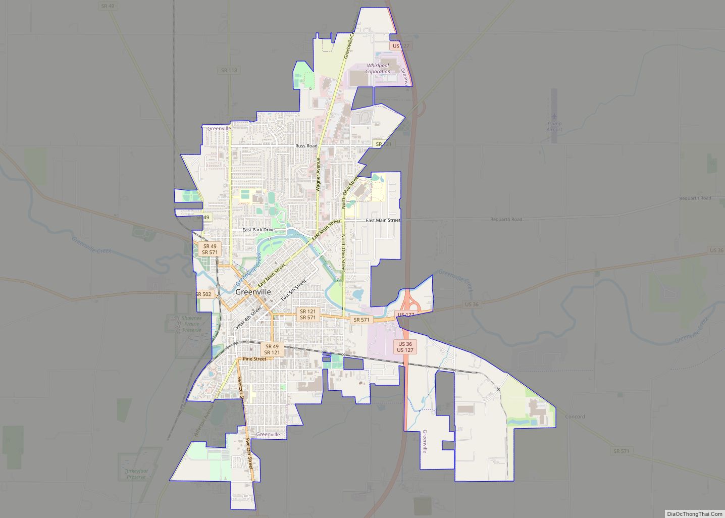
Online Interactive Map
Click on ![]() to view map in "full screen" mode.
to view map in "full screen" mode.
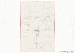
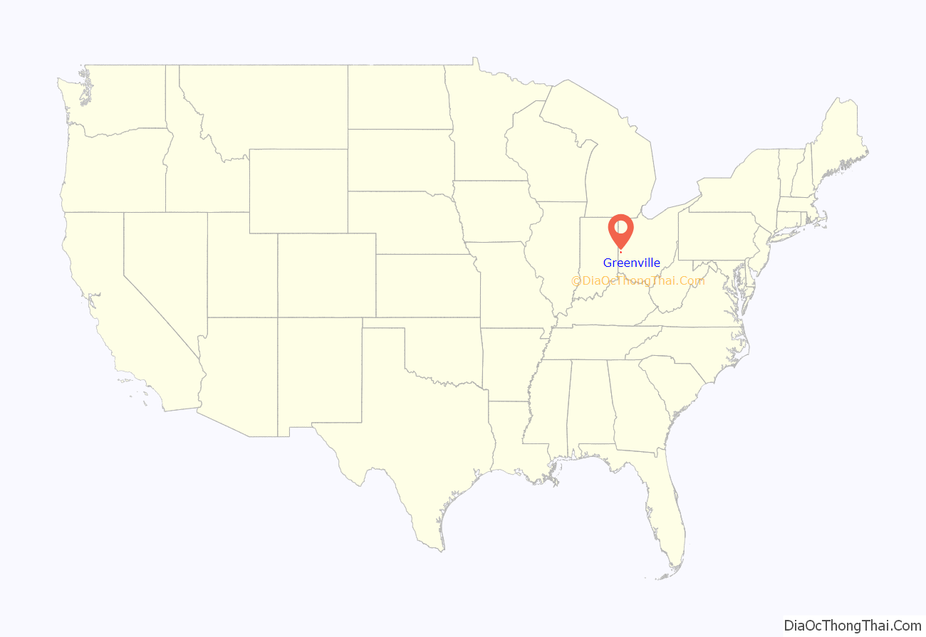
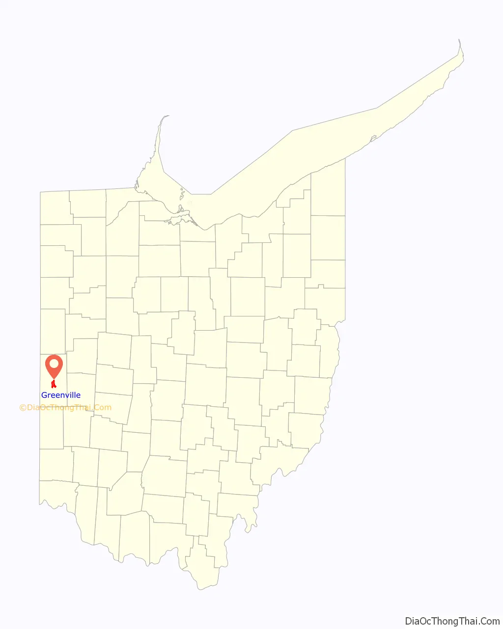
Greenville location map. Where is Greenville city?
History
Historic Native American tribes in the region included the Wyandot, the Delaware, the Shawnee, the Ottawa, the Chippewa, the Pottawatomi, the Miami, the Weea, the Kickapoo, the Piankasha, the Kaskaskia and the Eel River tribe. These participated in the Northwest Indian War, their effort to repel European Americans from the Northwest Territory.
Greenville is the historic location of Fort Greene Ville, built in November 1793 by General Anthony Wayne’s Legion of the United States during the Northwest Indian War. Named for Revolutionary War hero Nathaniel Greene, its defenses covered about 55 acres (220,000 m), making it North America’s largest wooden fort. It was a training ground and base of operations for the ~3000 soldiers of the Legion and Kentucky Militia before their August 1794 march northward to the Battle of Fallen Timbers. A year after the battle, the Treaty of Greenville was signed at the fort on August 3, 1795, with chiefs of the tribes that had confronted the U.S. This brought an end to the Indian wars in the area and opened the Northwest Territory for European-American settlement.
The Army abandoned Fort Greenville in 1796; it was partly burned later that year to retrieve nails used in its construction. Local settlers carried away some of its logs for building the new settlement of Dayton, Ohio, to the south. In the War of 1812, the Army refitted what remained of the fort; it was used as a supply depot and staging area. The earliest European-American settlers came in 1807; the city of Greenville was officially founded in August 1808.
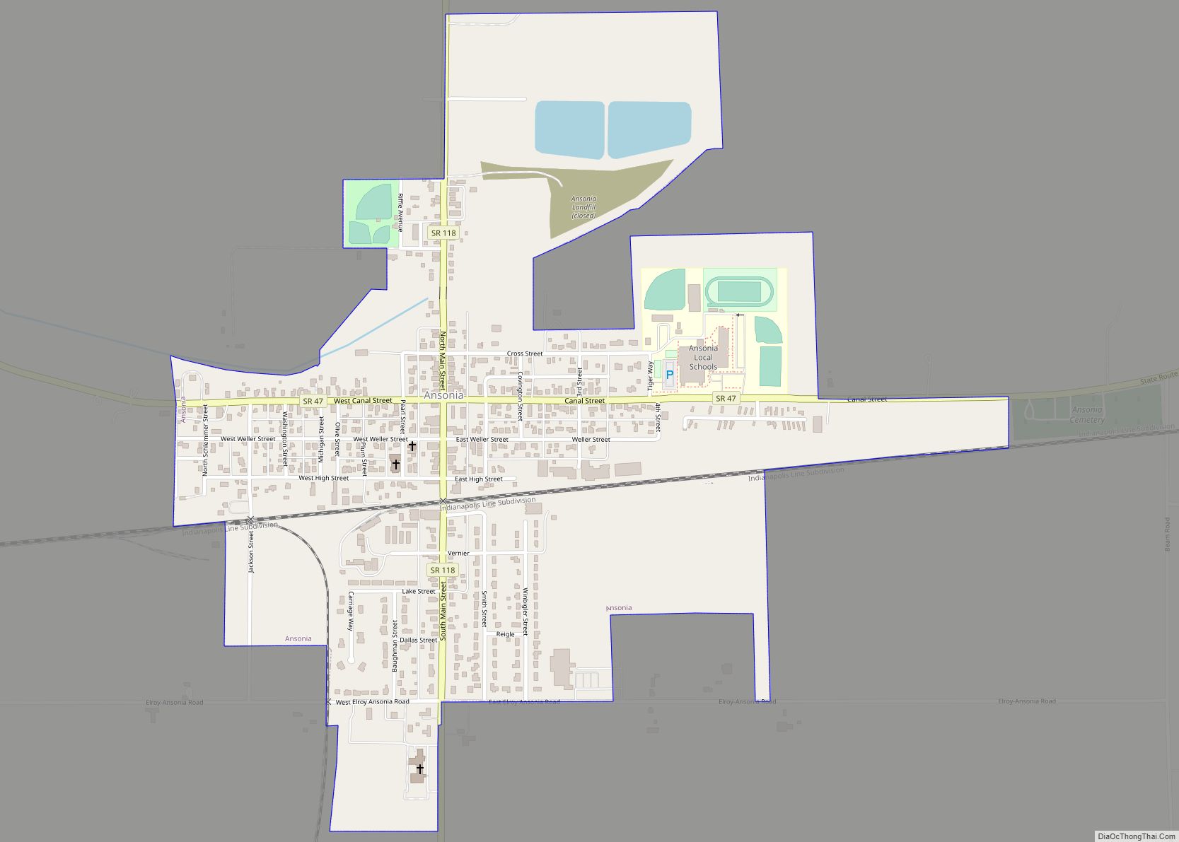
Greenville Road Map
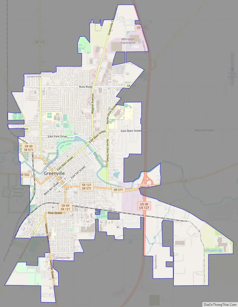
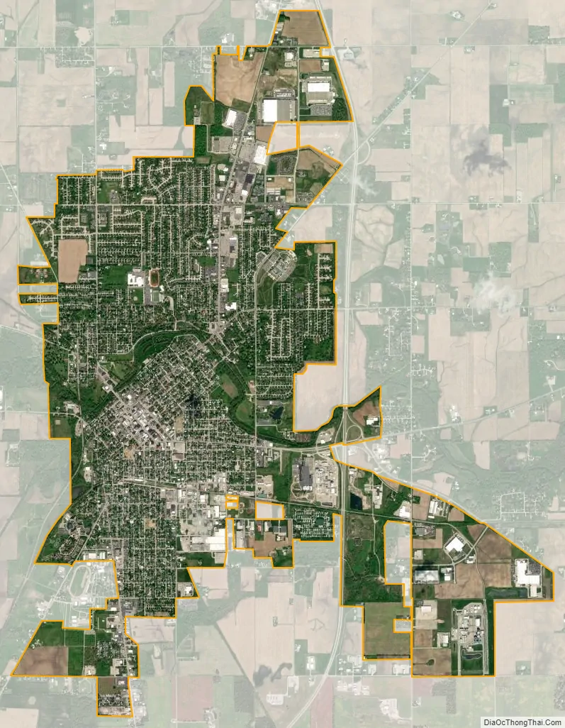
Greenville city Satellite Map
Geography
Greenville is located at 40°6′9″N 84°37′41″W / 40.10250°N 84.62806°W / 40.10250; -84.62806 (40.102474, -84.627985).
According to the United States Census Bureau, the city has an area of 6.66 square miles (17.25 km), of which 6.60 square miles (17.09 km) is land and 0.06 square miles (0.16 km) is water.
Local airports include Darke County Airport, seven miles away in Versailles, and James M. Cox Dayton International Airport, 35 miles away in Vandalia.
See also
Map of Ohio State and its subdivision:- Adams
- Allen
- Ashland
- Ashtabula
- Athens
- Auglaize
- Belmont
- Brown
- Butler
- Carroll
- Champaign
- Clark
- Clermont
- Clinton
- Columbiana
- Coshocton
- Crawford
- Cuyahoga
- Darke
- Defiance
- Delaware
- Erie
- Fairfield
- Fayette
- Franklin
- Fulton
- Gallia
- Geauga
- Greene
- Guernsey
- Hamilton
- Hancock
- Hardin
- Harrison
- Henry
- Highland
- Hocking
- Holmes
- Huron
- Jackson
- Jefferson
- Knox
- Lake
- Lake Erie
- Lawrence
- Licking
- Logan
- Lorain
- Lucas
- Madison
- Mahoning
- Marion
- Medina
- Meigs
- Mercer
- Miami
- Monroe
- Montgomery
- Morgan
- Morrow
- Muskingum
- Noble
- Ottawa
- Paulding
- Perry
- Pickaway
- Pike
- Portage
- Preble
- Putnam
- Richland
- Ross
- Sandusky
- Scioto
- Seneca
- Shelby
- Stark
- Summit
- Trumbull
- Tuscarawas
- Union
- Van Wert
- Vinton
- Warren
- Washington
- Wayne
- Williams
- Wood
- Wyandot
- Alabama
- Alaska
- Arizona
- Arkansas
- California
- Colorado
- Connecticut
- Delaware
- District of Columbia
- Florida
- Georgia
- Hawaii
- Idaho
- Illinois
- Indiana
- Iowa
- Kansas
- Kentucky
- Louisiana
- Maine
- Maryland
- Massachusetts
- Michigan
- Minnesota
- Mississippi
- Missouri
- Montana
- Nebraska
- Nevada
- New Hampshire
- New Jersey
- New Mexico
- New York
- North Carolina
- North Dakota
- Ohio
- Oklahoma
- Oregon
- Pennsylvania
- Rhode Island
- South Carolina
- South Dakota
- Tennessee
- Texas
- Utah
- Vermont
- Virginia
- Washington
- West Virginia
- Wisconsin
- Wyoming