Thomasville is a city in Davidson County, North Carolina, United States. The population was 27,183 at the 2020 census. The city was once notable for its furniture industry, as were its neighbors High Point and Lexington. This Piedmont Triad community was established in 1852 and hosts the state’s oldest festival, “Everybody’s Day”.
| Name: | Thomasville city |
|---|---|
| LSAD Code: | 25 |
| LSAD Description: | city (suffix) |
| State: | North Carolina |
| County: | Davidson County, Randolph County |
| Incorporated: | 1857 |
| Elevation: | 850 ft (260 m) |
| Total Area: | 16.78 sq mi (43.47 km²) |
| Land Area: | 16.77 sq mi (43.43 km²) |
| Water Area: | 0.01 sq mi (0.03 km²) |
| Total Population: | 27,183 |
| Population Density: | 1,621.03/sq mi (625.89/km²) |
| ZIP code: | 27360-27361 |
| Area code: | 336 |
| FIPS code: | 3767420 |
| GNISfeature ID: | 1022940 |
| Website: | www.thomasville-nc.gov |
Online Interactive Map
Click on ![]() to view map in "full screen" mode.
to view map in "full screen" mode.
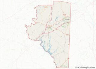
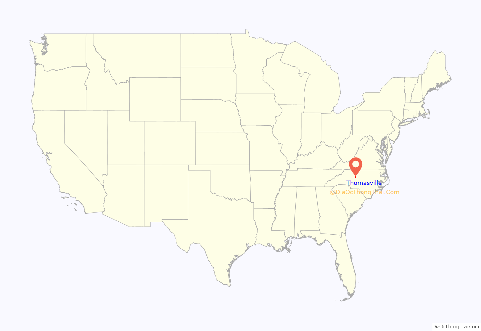
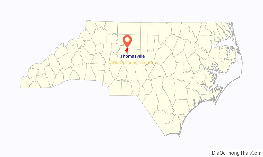
Thomasville location map. Where is Thomasville city?
History
John Warwick Thomas was born June 27, 1800, and by age 22 owned 384 acres (155 ha) in the Cedar Lodge area after marrying Mary Lambeth, daughter of Moses Lambeth. By age 30 he was a state representative. In 1848 he became a state senator. He pushed to get a railroad built through Davidson County and even invested money. Knowing the railroad was coming, Thomas built the community’s first store in 1852 at present-day West Main and Salem streets, and the community was named “Thomasville” for its founder. In 1855 the North Carolina Railroad was built through Davidson County, reaching Thomasville November 9. On January 8, 1857, Thomasville was incorporated and occupied one square mile, with the railroad dividing the town into north and south sections.
In 1860 Thomasville had 308 people. After the Civil War the town had only 217 residents, but by 1880 the population was 450, reaching 751 by 1890.
Long Bill Whiteheart may have been the first to make furniture; he made split-bottom chairs at home. D.S. Westmoreland also made chairs at home starting in 1866, and his factory on what became Randolph Street went up in 1879 but burned in 1897 and was not rebuilt. The oldest plant still standing as of 1990 was that of Standard Chair, built in 1898. Other furniture companies were Lambeth Furniture, Thompson Chair, and Queen Chair Company.
Cramer Furniture was said to be the South’s second largest furniture company in 1901. Thomasville Chair, started in 1904, soon became the town’s leading furniture manufacturer. By 1916, 2,000 chairs a day were being made citywide.
By 1909 Jewel Cotton Mills and Amazon Cotton Mills gave Thomasville another industry, textiles. Sellers Hosiery Mills of Burlington opened in 1913, and Thomasville Hosiery in 1916.
The Abbott’s Creek Primitive Baptist Church Cemetery, Brummell’s Inn, Church Street School, Emanuel United Church of Christ Cemetery, Shadrach Lambeth House, Mitchell House, Randolph Street Historic District, Salem Street Historic District, Smith Clinic, Thomasville Downtown Historic District, and Thomasville Railroad Passenger Depot are listed on the National Register of Historic Places.
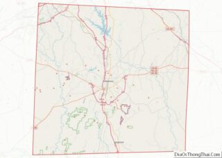
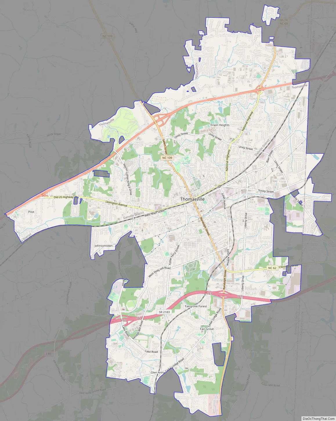
Thomasville Road Map
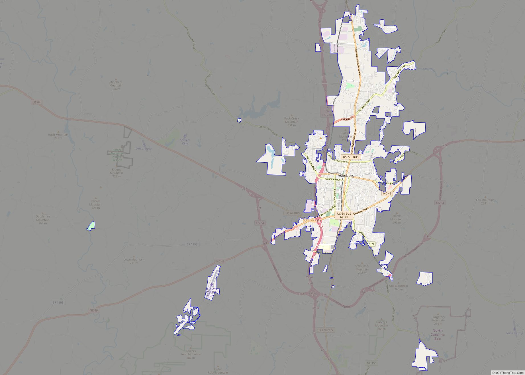
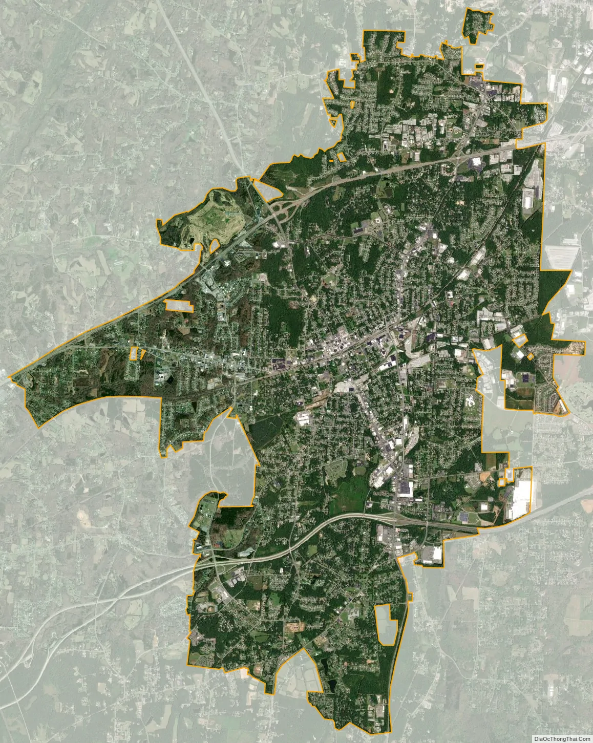
Thomasville city Satellite Map
Geography
Thomasville is located in northeastern Davidson County at 35°53′9″N 80°4′38″W / 35.88583°N 80.07722°W / 35.88583; -80.07722 (35.885848, −80.077323). It is bordered to the east by the city of Trinity in Randolph County.
According to the United States Census Bureau, the city of Thomasville has a total area of 16.8 square miles (43.5 km), of which 0.01 square miles (0.03 km), or 0.07%, is water.
Climate
See also
Map of North Carolina State and its subdivision:- Alamance
- Alexander
- Alleghany
- Anson
- Ashe
- Avery
- Beaufort
- Bertie
- Bladen
- Brunswick
- Buncombe
- Burke
- Cabarrus
- Caldwell
- Camden
- Carteret
- Caswell
- Catawba
- Chatham
- Cherokee
- Chowan
- Clay
- Cleveland
- Columbus
- Craven
- Cumberland
- Currituck
- Dare
- Davidson
- Davie
- Duplin
- Durham
- Edgecombe
- Forsyth
- Franklin
- Gaston
- Gates
- Graham
- Granville
- Greene
- Guilford
- Halifax
- Harnett
- Haywood
- Henderson
- Hertford
- Hoke
- Hyde
- Iredell
- Jackson
- Johnston
- Jones
- Lee
- Lenoir
- Lincoln
- Macon
- Madison
- Martin
- McDowell
- Mecklenburg
- Mitchell
- Montgomery
- Moore
- Nash
- New Hanover
- Northampton
- Onslow
- Orange
- Pamlico
- Pasquotank
- Pender
- Perquimans
- Person
- Pitt
- Polk
- Randolph
- Richmond
- Robeson
- Rockingham
- Rowan
- Rutherford
- Sampson
- Scotland
- Stanly
- Stokes
- Surry
- Swain
- Transylvania
- Tyrrell
- Union
- Vance
- Wake
- Warren
- Washington
- Watauga
- Wayne
- Wilkes
- Wilson
- Yadkin
- Yancey
- Alabama
- Alaska
- Arizona
- Arkansas
- California
- Colorado
- Connecticut
- Delaware
- District of Columbia
- Florida
- Georgia
- Hawaii
- Idaho
- Illinois
- Indiana
- Iowa
- Kansas
- Kentucky
- Louisiana
- Maine
- Maryland
- Massachusetts
- Michigan
- Minnesota
- Mississippi
- Missouri
- Montana
- Nebraska
- Nevada
- New Hampshire
- New Jersey
- New Mexico
- New York
- North Carolina
- North Dakota
- Ohio
- Oklahoma
- Oregon
- Pennsylvania
- Rhode Island
- South Carolina
- South Dakota
- Tennessee
- Texas
- Utah
- Vermont
- Virginia
- Washington
- West Virginia
- Wisconsin
- Wyoming