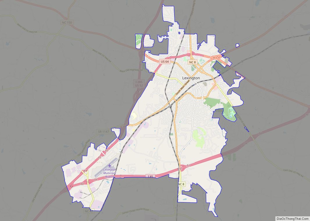
Lexington is the county seat of Davidson County, North Carolina, United States. As of the 2010 census, the city had a population of 18,931. It is located in central North Carolina, 20 miles (32 km) south of Winston-Salem. Major highways include I-85, I-85B, U.S. Route 29, U.S. Route 70, U.S. Route 52 / I-285 and U.S. Route 64. Lexington is part of the Piedmont Triad region of the state.
Lexington has been noted as one of America’s top four best cities for barbecue by U.S. News & World Report. The City calls itself the “Barbecue Capital of the World”.
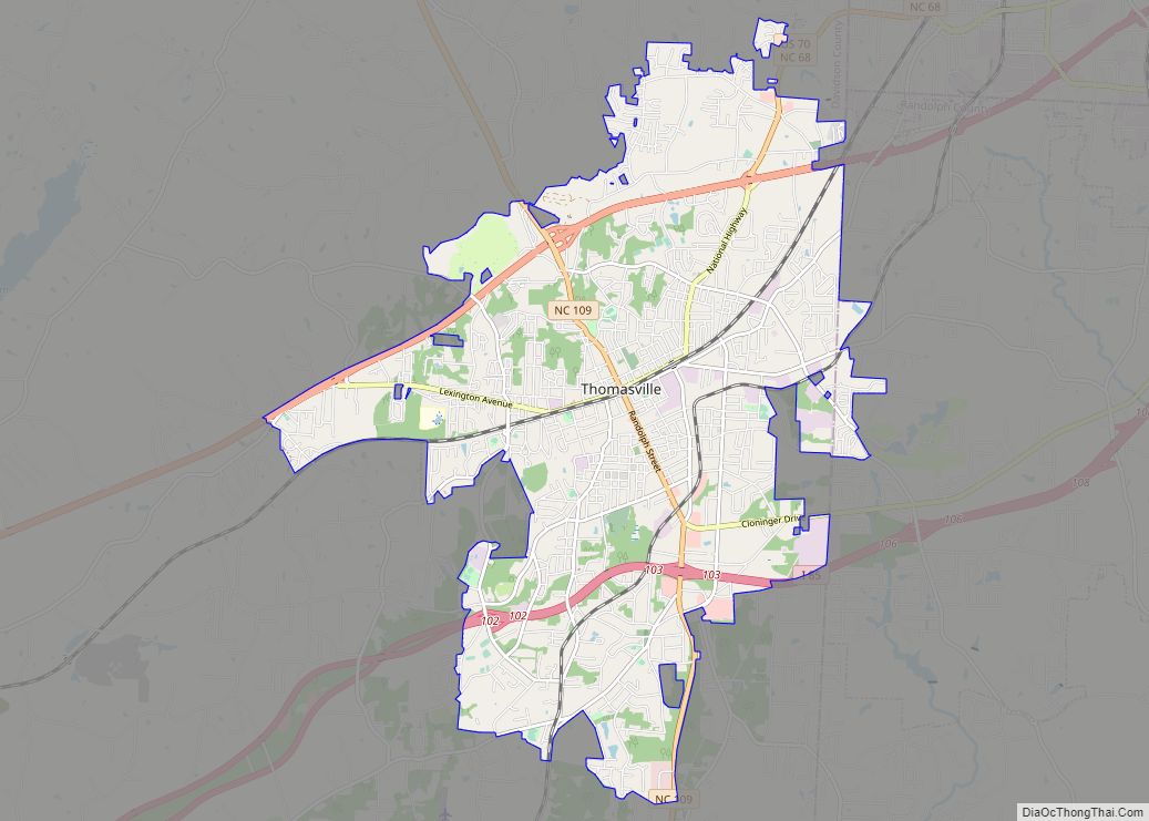
Lexington, Thomasville, and the rural areas surrounding them are slowly developing as residential bedroom communities for nearby cities such as Winston-Salem, Greensboro, High Point and, to a lesser extent, Charlotte and its northeastern suburbs.
| Name: | Lexington city |
|---|---|
| LSAD Code: | 25 |
| LSAD Description: | city (suffix) |
| State: | North Carolina |
| County: | Davidson County |
| Elevation: | 807 ft (246 m) |
| Total Area: | 19.22 sq mi (49.78 km²) |
| Land Area: | 19.22 sq mi (49.78 km²) |
| Water Area: | 0.00 sq mi (0.00 km²) |
| Total Population: | 19,632 |
| Population Density: | 1,021.44/sq mi (394.39/km²) |
| ZIP code: | 27292-27295 |
| Area code: | 336 |
| FIPS code: | 3738060 |
| GNISfeature ID: | 0988406 |
| Website: | www.lexingtonnc.gov |
Online Interactive Map
Click on ![]() to view map in "full screen" mode.
to view map in "full screen" mode.
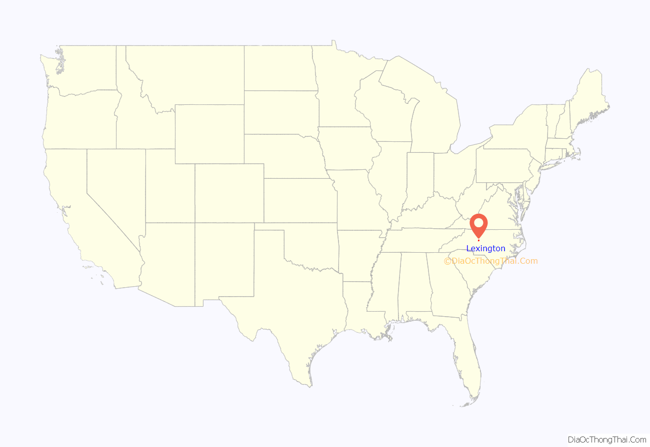
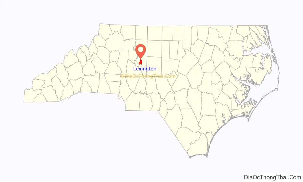
Lexington location map. Where is Lexington city?
History
The Lexington area was at least sparsely settled by Europeans in 1775. The settlers named their community in honor of Lexington, Massachusetts, the site of the first skirmish of the American Revolutionary War. Lexington was incorporated as a city in 1828. Silver Hill Mine, located a few miles south of Lexington, opened in 1838, and was the first operating silver mine in the country.
The oldest surviving house in Lexington is The Homestead, built by Dr. William Rainey Holt (1798–1868), a physician born in what is today Alamance County. The Homestead has windows, sidelights and other Palladian details characteristic of the pattern books of architect Asher Benjamin.
In addition to The Homestead, the Erlanger Mill Village Historic District, First Reformed Church, Grace Episcopal Church, Grimes Brothers Mill, Grimes School, Hedrick’s Grove Reformed Church, Junior Order United American Mechanics National Orphans Home, Lexington Memorial Hospital, Lexington Residential Historic District, Old Davidson County Courthouse, Pilgrim Reformed Church Cemetery, Henry Shoaf Farm, Uptown Lexington Historic District, and John Henry Welborn House are listed on the National Register of Historic Places.
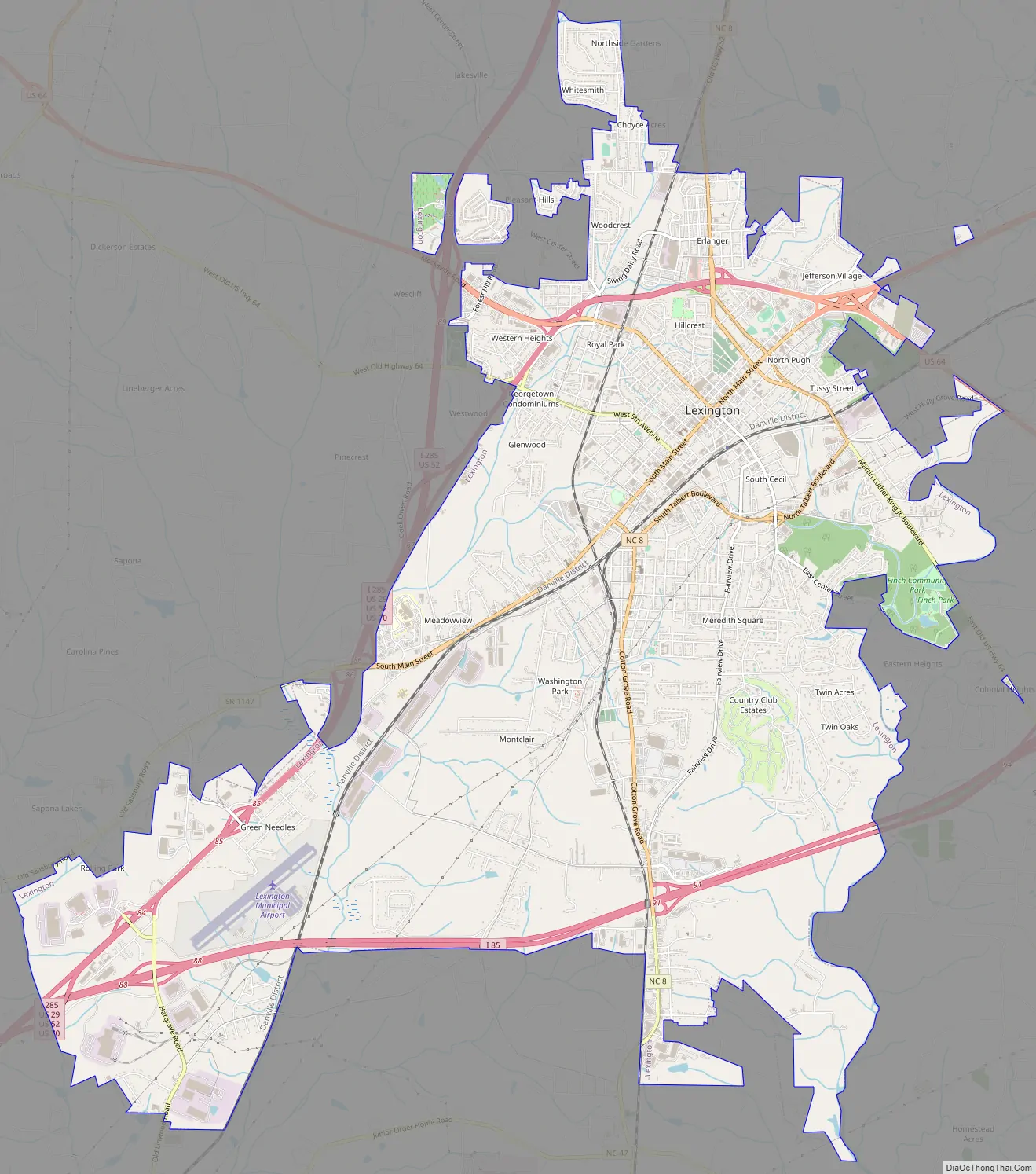
Lexington Road Map
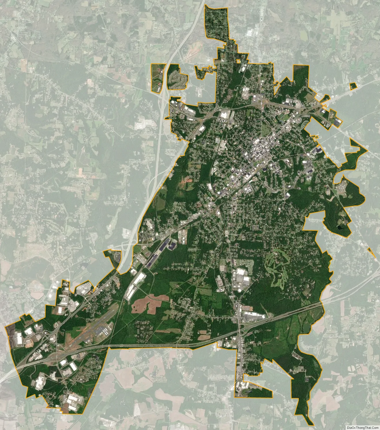
Lexington city Satellite Map
Geography
Lexington is located in the Piedmont Triad region. It is centered at 35°49’0″ North, 80°15’31” West (35.816768, −80.258643). Lexington is 11 miles (18 km) northeast of High Rock Lake, part of the Yadkin-Pee Dee chain of lakes in central North Carolina.
According to the United States Census Bureau, the city has a total area of 18.0 square miles (46.6 km), all land.
Interstate 85 Business passes north and west of the center of Lexington, and Interstate 85 passes to the south. The highways merge at the southwest end of the city. Additionally, four U.S. highways, U.S. Route 29, 64, 52, Interstate 285 (co-signed with US 52) and 70, and state highways 8 and 47 intersect in the city.
Climate
Thunderstorms are common during the spring and summer months, including some severe storms. Located in central North Carolina, between the Appalachian Mountains and the Mid-Atlantic coast, Lexington has a humid subtropical climate, with moderate temperatures during spring and autumn and warm to hot summers. Winters are relatively mild and wet with highs typically in the 40s to 50s and overnight lows averaging just below freezing.
See also
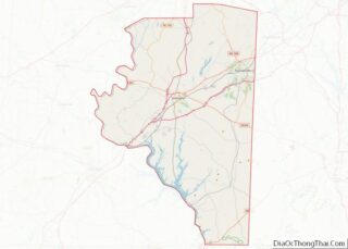
Map of North Carolina State and its subdivision:- Alamance
- Alexander
- Alleghany
- Anson
- Ashe
- Avery
- Beaufort
- Bertie
- Bladen
- Brunswick
- Buncombe
- Burke
- Cabarrus
- Caldwell
- Camden
- Carteret
- Caswell
- Catawba
- Chatham
- Cherokee
- Chowan
- Clay
- Cleveland
- Columbus
- Craven
- Cumberland
- Currituck
- Dare
- Davidson
- Davie
- Duplin
- Durham
- Edgecombe
- Forsyth
- Franklin
- Gaston
- Gates
- Graham
- Granville
- Greene
- Guilford
- Halifax
- Harnett
- Haywood
- Henderson
- Hertford
- Hoke
- Hyde
- Iredell
- Jackson
- Johnston
- Jones
- Lee
- Lenoir
- Lincoln
- Macon
- Madison
- Martin
- McDowell
- Mecklenburg
- Mitchell
- Montgomery
- Moore
- Nash
- New Hanover
- Northampton
- Onslow
- Orange
- Pamlico
- Pasquotank
- Pender
- Perquimans
- Person
- Pitt
- Polk
- Randolph
- Richmond
- Robeson
- Rockingham
- Rowan
- Rutherford
- Sampson
- Scotland
- Stanly
- Stokes
- Surry
- Swain
- Transylvania
- Tyrrell
- Union
- Vance
- Wake
- Warren
- Washington
- Watauga
- Wayne
- Wilkes
- Wilson
- Yadkin
- Yancey
- Alabama
- Alaska
- Arizona
- Arkansas
- California
- Colorado
- Connecticut
- Delaware
- District of Columbia
- Florida
- Georgia
- Hawaii
- Idaho
- Illinois
- Indiana
- Iowa
- Kansas
- Kentucky
- Louisiana
- Maine
- Maryland
- Massachusetts
- Michigan
- Minnesota
- Mississippi
- Missouri
- Montana
- Nebraska
- Nevada
- New Hampshire
- New Jersey
- New Mexico
- New York
- North Carolina
- North Dakota
- Ohio
- Oklahoma
- Oregon
- Pennsylvania
- Rhode Island
- South Carolina
- South Dakota
- Tennessee
- Texas
- Utah
- Vermont
- Virginia
- Washington
- West Virginia
- Wisconsin
- Wyoming