Arkansas City is a town in Desha County, Arkansas, United States. The population was 366 at the 2010 census. The town is the county seat of Desha County. Arkansas City’s historic Commercial District, located at Desoto Avenue and Sprague Street, is listed on the National Register of Historic Places.
| Name: | Arkansas City city |
|---|---|
| LSAD Code: | 25 |
| LSAD Description: | city (suffix) |
| State: | Arkansas |
| County: | Desha County |
| Elevation: | 135 ft (41 m) |
| Total Area: | 0.49 sq mi (1.28 km²) |
| Land Area: | 0.49 sq mi (1.28 km²) |
| Water Area: | 0.00 sq mi (0.00 km²) |
| Total Population: | 376 |
| Population Density: | 764.23/sq mi (294.89/km²) |
| ZIP code: | 71630 |
| Area code: | 870 |
| FIPS code: | 0501990 |
| GNISfeature ID: | 0076190 |
Online Interactive Map
Click on ![]() to view map in "full screen" mode.
to view map in "full screen" mode.
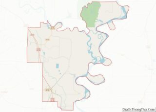
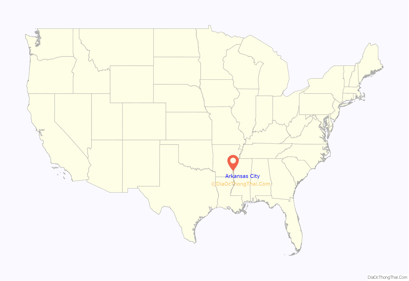
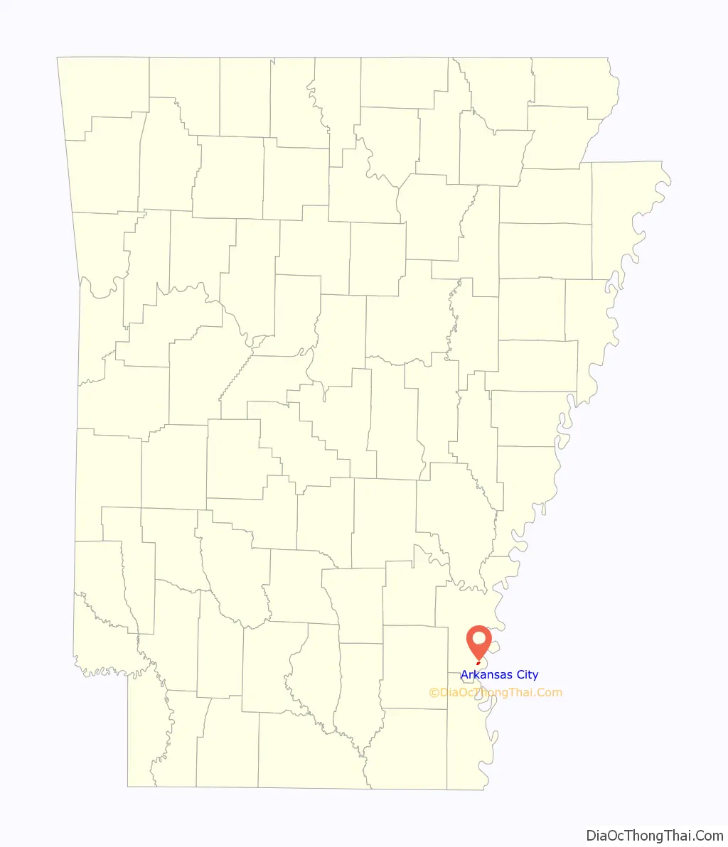
Arkansas City location map. Where is Arkansas City city?
History
From 1879, Arkansas City grew into a thriving river city for the next forty years. It had a natural harbor for steamboats and two railways, as well as fourteen salons and three sawmills.
An opera house was moved to Arkansas City in 1891. The building was also used as an unofficial “town hall”; at other times it became a ballroom, and citizens danced to music of groups from Memphis, Tennessee. The city then had several churches and two doctors.
Flood of 1927
Until the flood of 1927, Arkansas City was an important commercial and cultural center and one of the most important ports on the Mississippi River. The flood of 1927 devastated the city. More than 2,000 people had to be rescued. The harbor closed and made the railroads unnecessary. The city never fully recovered from this tragedy.
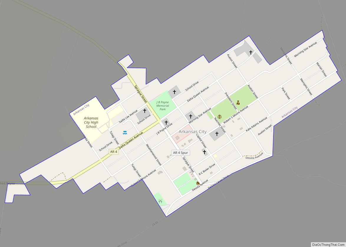
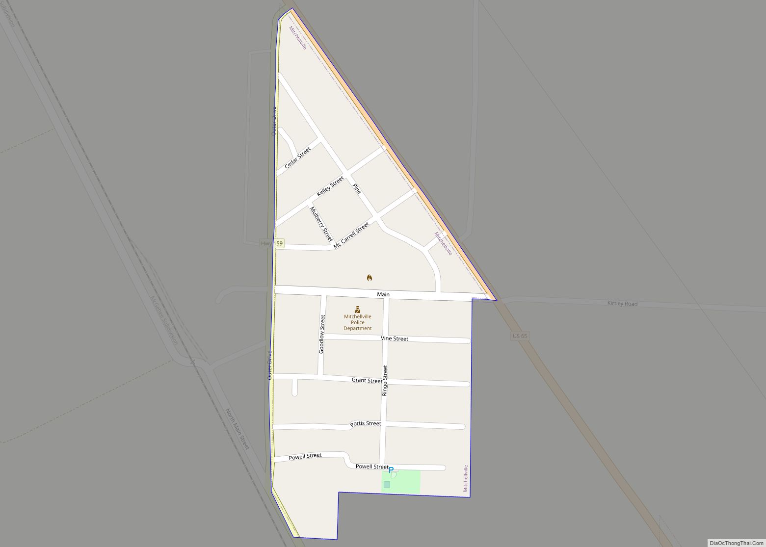
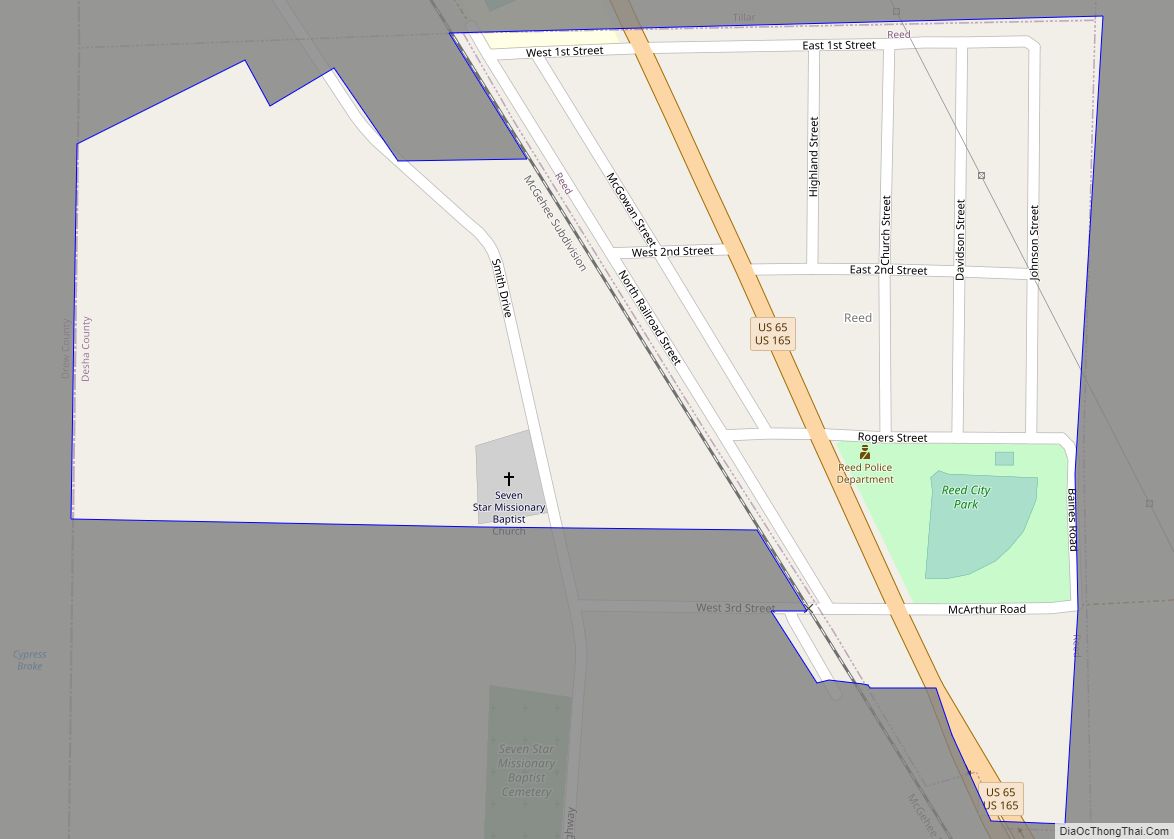
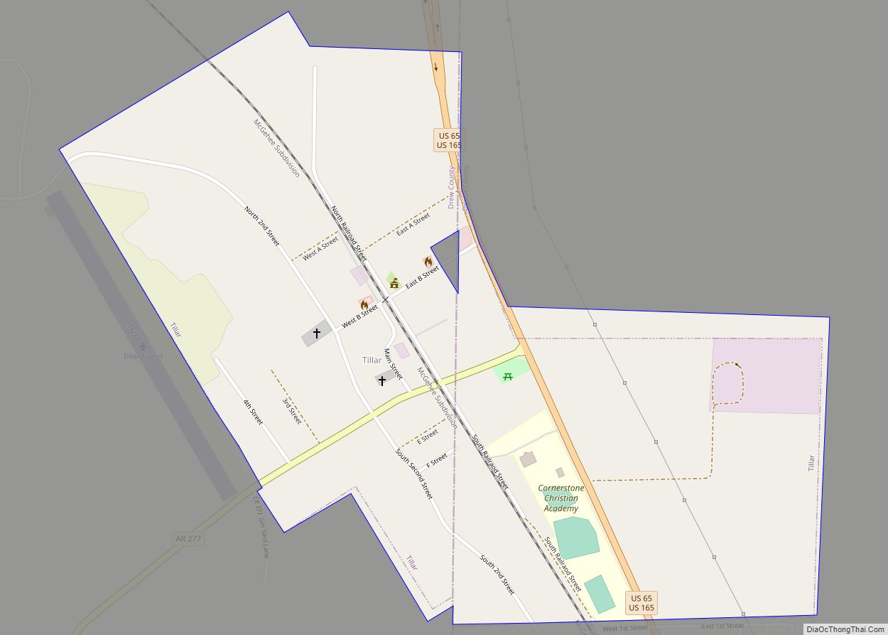
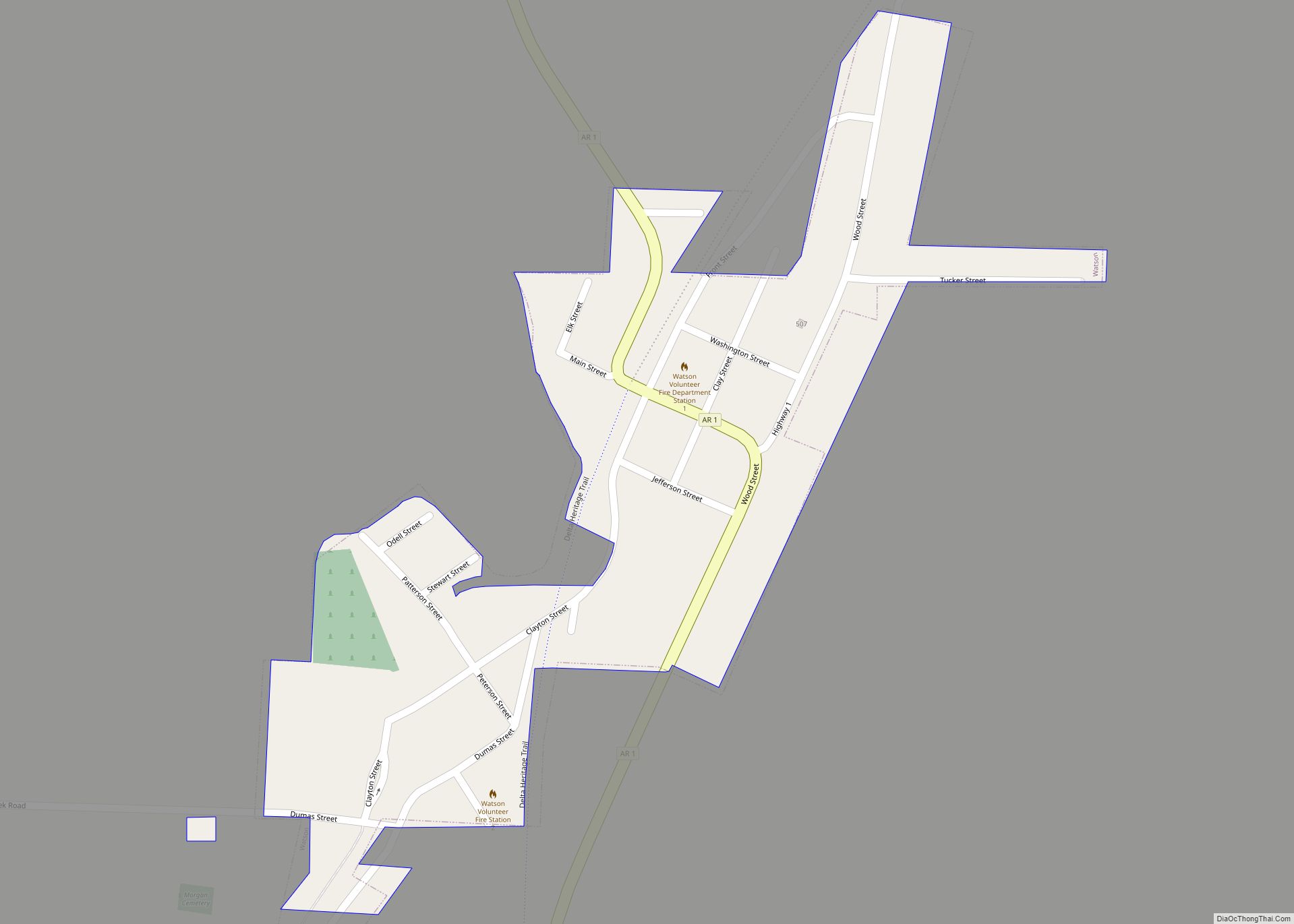
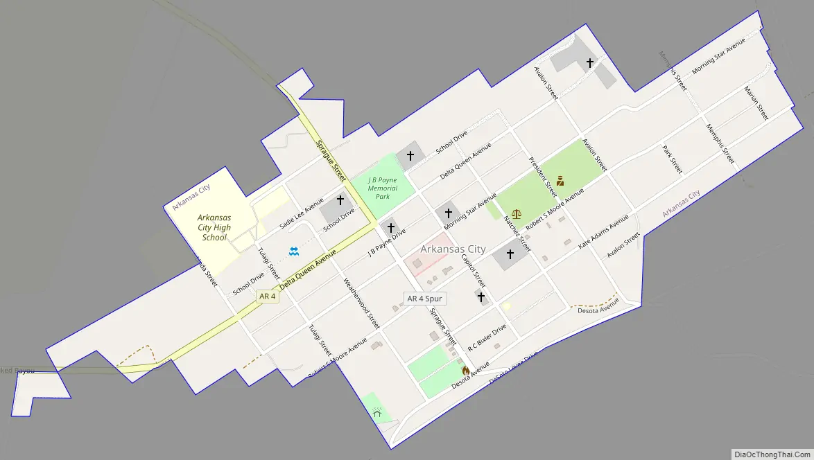
Arkansas City Road Map
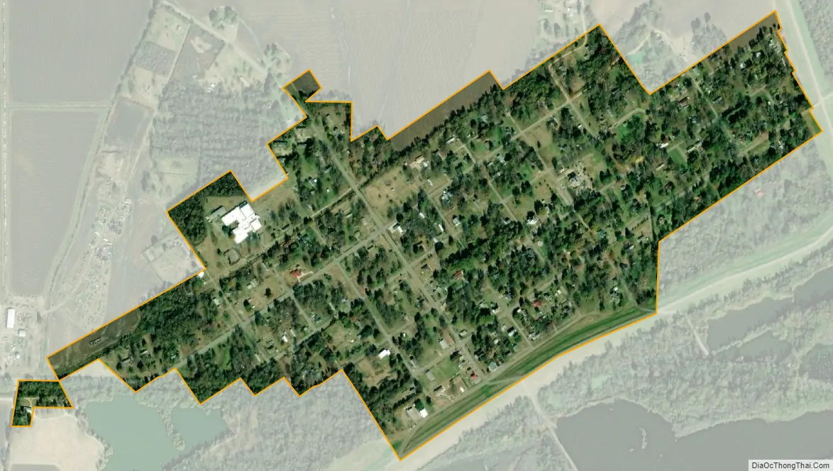
Arkansas City city Satellite Map
Geography
According to the United States Census Bureau, the town has a total area of 0.5 square miles (1.3 km), all land. It sits entirely in the Delta Lowlands sub-region of the Arkansas Delta.
See also
Map of Arkansas State and its subdivision:- Arkansas
- Ashley
- Baxter
- Benton
- Boone
- Bradley
- Calhoun
- Carroll
- Chicot
- Clark
- Clay
- Cleburne
- Cleveland
- Columbia
- Conway
- Craighead
- Crawford
- Crittenden
- Cross
- Dallas
- Desha
- Drew
- Faulkner
- Franklin
- Fulton
- Garland
- Grant
- Greene
- Hempstead
- Hot Spring
- Howard
- Independence
- Izard
- Jackson
- Jefferson
- Johnson
- Lafayette
- Lawrence
- Lee
- Lincoln
- Little River
- Logan
- Lonoke
- Madison
- Marion
- Miller
- Mississippi
- Monroe
- Montgomery
- Nevada
- Newton
- Ouachita
- Perry
- Phillips
- Pike
- Poinsett
- Polk
- Pope
- Prairie
- Pulaski
- Randolph
- Saint Francis
- Saline
- Scott
- Searcy
- Sebastian
- Sevier
- Sharp
- Stone
- Union
- Van Buren
- Washington
- White
- Woodruff
- Yell
- Alabama
- Alaska
- Arizona
- Arkansas
- California
- Colorado
- Connecticut
- Delaware
- District of Columbia
- Florida
- Georgia
- Hawaii
- Idaho
- Illinois
- Indiana
- Iowa
- Kansas
- Kentucky
- Louisiana
- Maine
- Maryland
- Massachusetts
- Michigan
- Minnesota
- Mississippi
- Missouri
- Montana
- Nebraska
- Nevada
- New Hampshire
- New Jersey
- New Mexico
- New York
- North Carolina
- North Dakota
- Ohio
- Oklahoma
- Oregon
- Pennsylvania
- Rhode Island
- South Carolina
- South Dakota
- Tennessee
- Texas
- Utah
- Vermont
- Virginia
- Washington
- West Virginia
- Wisconsin
- Wyoming