Dickens County is a county located in the U.S. state of Texas. As of the 2020 census, its population was 1,770. Its county seat is Dickens. The county was created in 1876 and later organized in 1891. Both the county and its seat are named for J. Dickens, who died at the Battle of the Alamo.
| Name: | Dickens County |
|---|---|
| FIPS code: | 48-125 |
| State: | Texas |
| Founded: | 1891 |
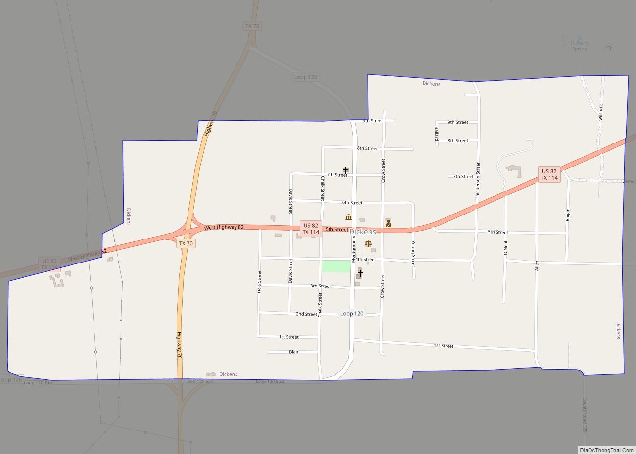
| Seat: | Dickens |
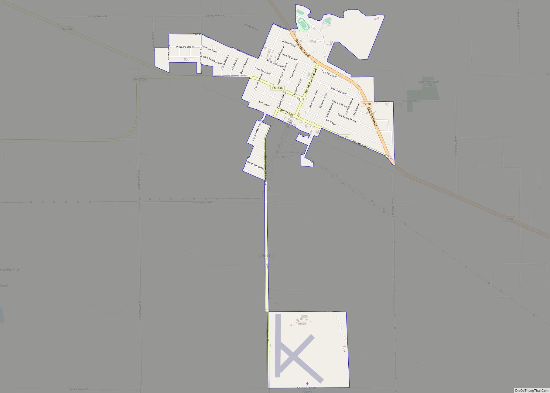
| Largest city: | Spur |
| Total Area: | 905 sq mi (2,340 km²) |
| Land Area: | 902 sq mi (2,340 km²) |
| Total Population: | 1,770 |
| Population Density: | 2.0/sq mi (0.76/km²) |
| Time zone: | UTC−6 (Central) |
| Summer Time Zone (DST): | UTC−5 (CDT) |
| Website: | www.co.dickens.tx.us |
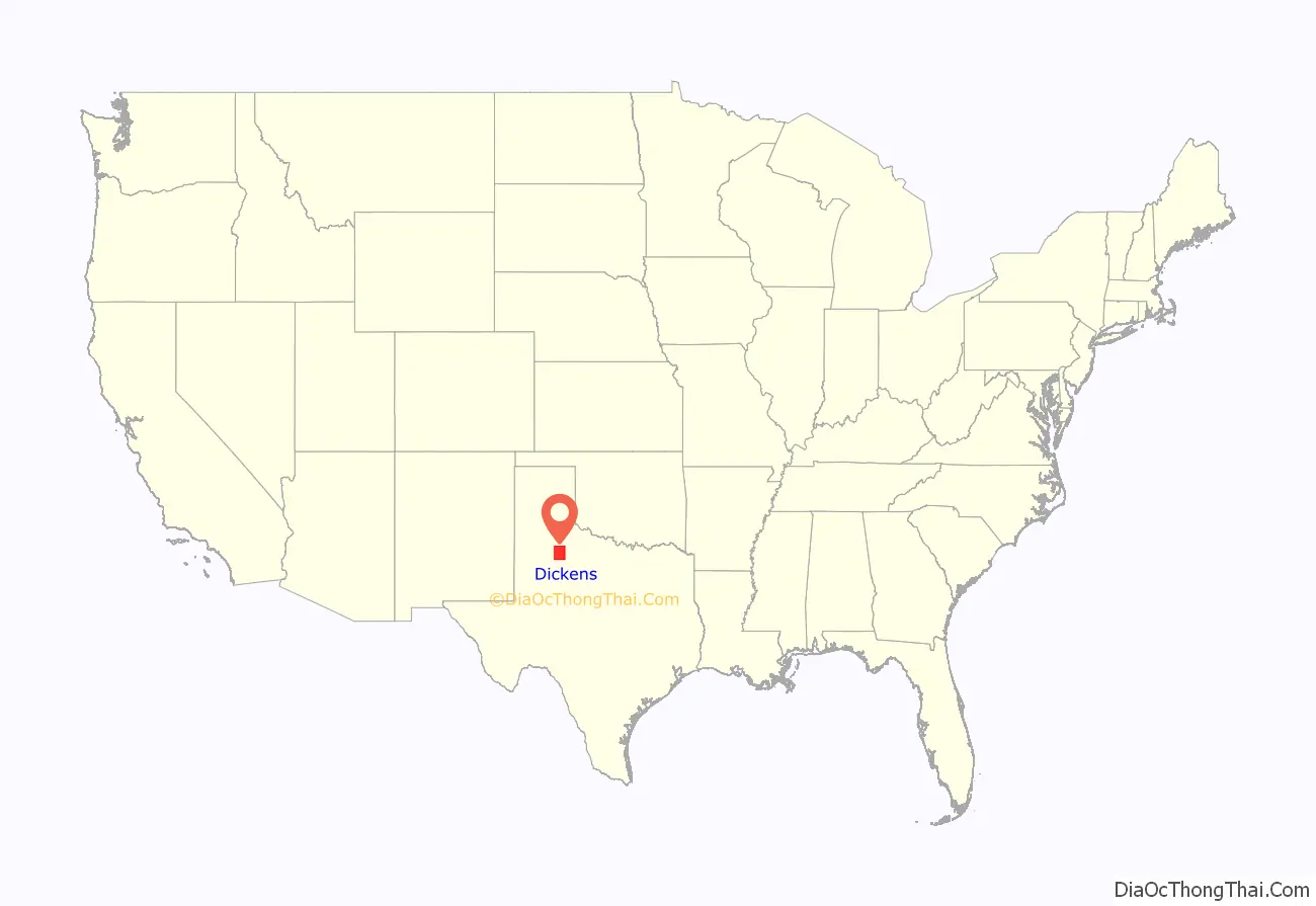
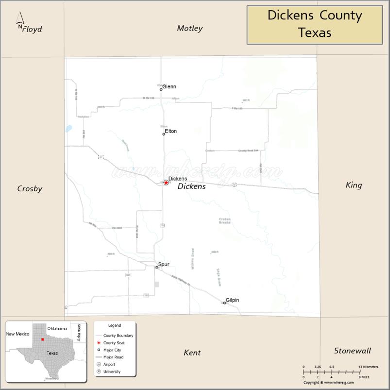
Dickens County location map. Where is Dickens County?
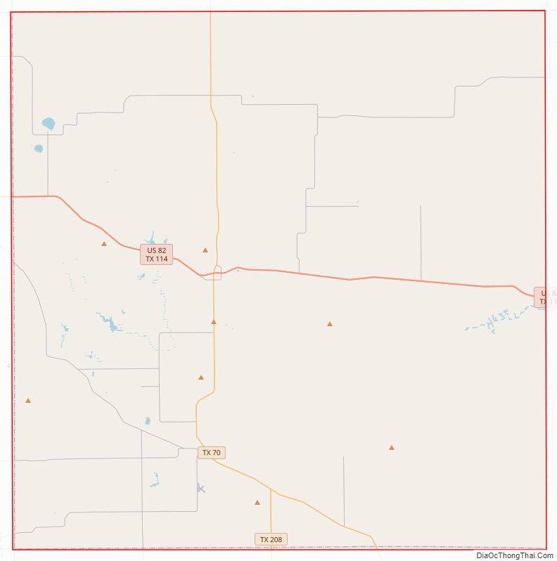
Dickens County Road Map
Geography
According to the U.S. Census Bureau, the county has a total area of 905 square miles (2,340 km), of which 902 square miles (2,340 km) are land and 3.5 square miles (9.1 km) (0.4%) are covered by water.
Major highways
- U.S. Highway 82 / State Highway 114
- State Highway 70
- State Highway 208
Adjacent counties
- Motley County (north)
- King County (east)
- Kent County (south)
- Crosby County (west)
- Garza County (southwest)
- Floyd County (northwest)
- Cottle County (northeast)
- Stonewall County (southeast)
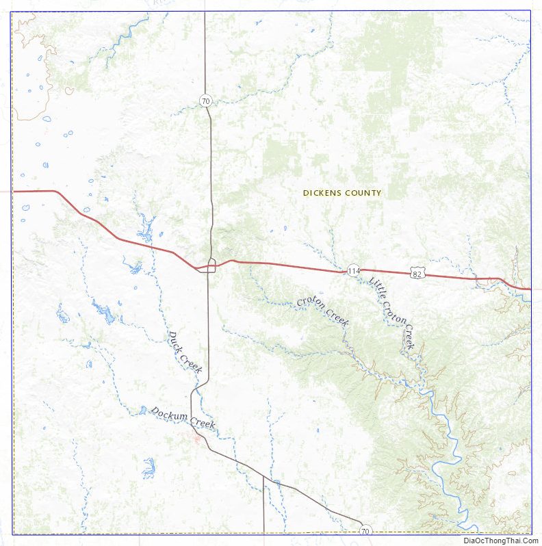
Dickens County Topographic Map
Dickens County Satellite Map

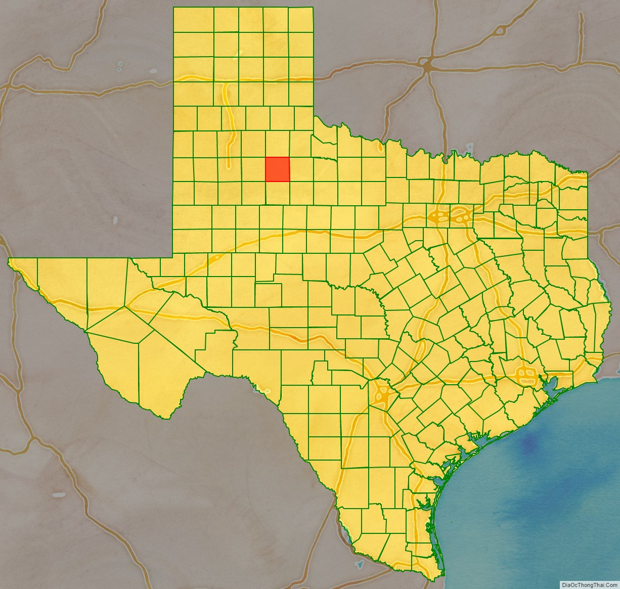
Dickens County Outline Map