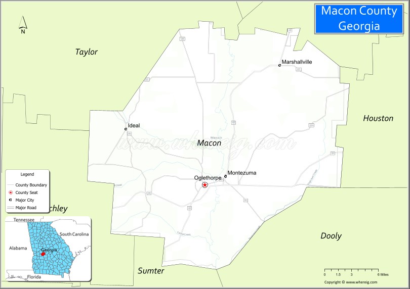
Macon County is a county located in the west central portion of the U.S. state of Georgia. As of the 2020 census, the population was 12,082. The county seat is Oglethorpe.
The Macon County Courthouse is located in Oglethorpe.
| Name: | Macon County |
|---|---|
| FIPS code: | 13-193 |
| State: | Georgia |
| Founded: | December 14, 1837 |
| Named for: | Nathaniel Macon |
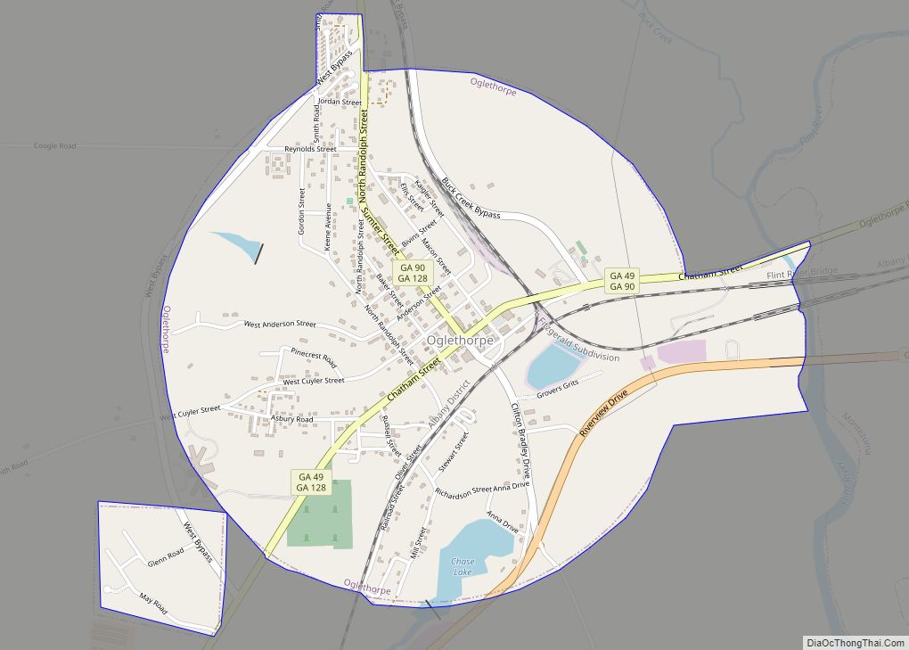
| Seat: | Oglethorpe |
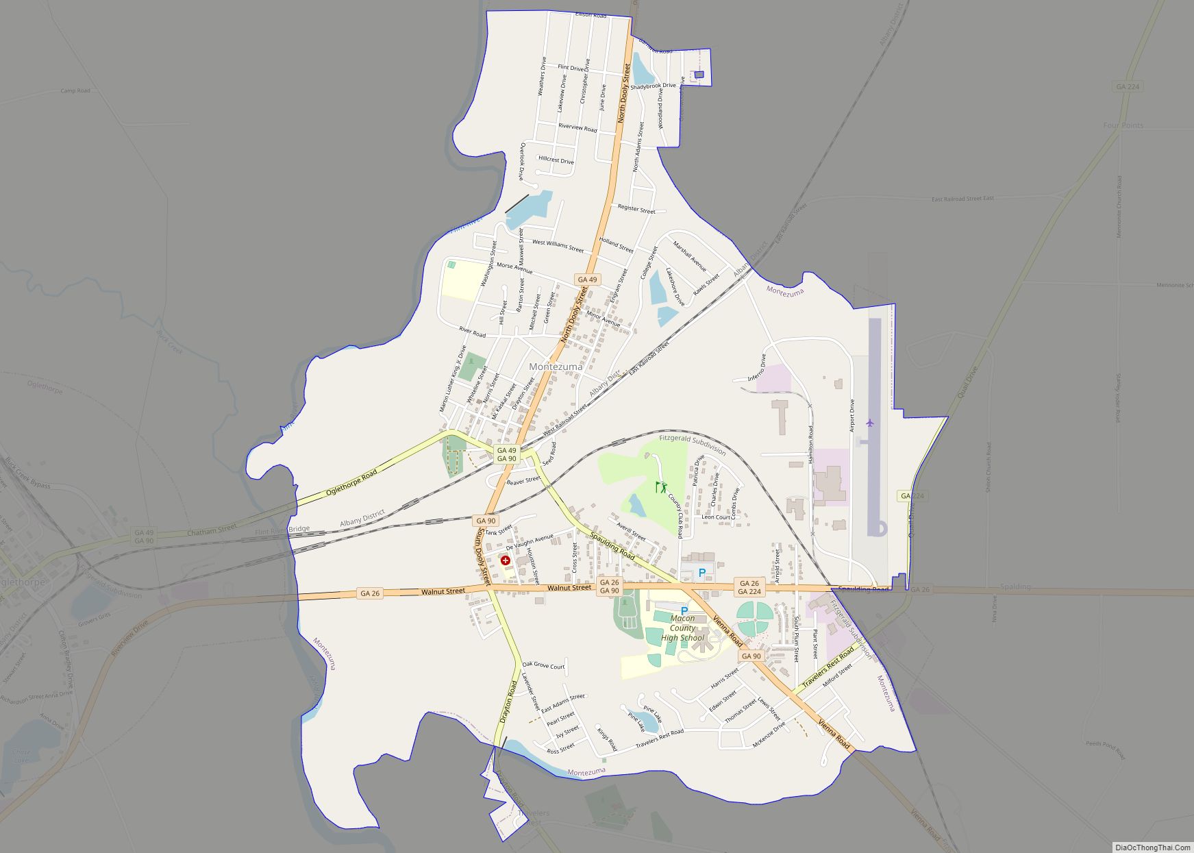
| Largest city: | Montezuma |
| Total Area: | 406 sq mi (1,050 km²) |
| Land Area: | 401 sq mi (1,040 km²) |
| Total Population: | 12,082 |
| Population Density: | 30/sq mi (10/km²) |
| Time zone: | UTC−5 (Eastern) |
| Summer Time Zone (DST): | UTC−4 (EDT) |
| Website: | Macon County government |
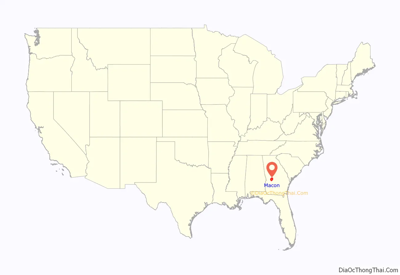
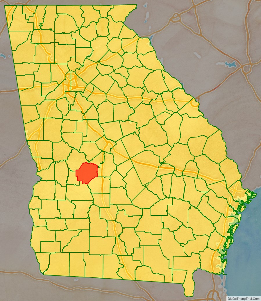
Macon County location map. Where is Macon County?
History
Macon County was created in 1837 from parts of Houston (“house-ton”) and Marion counties, effective December 14 of that year. The 91st county, it was named for the then-recently deceased General Nathaniel Macon of North Carolina, who served in the U.S. Congress for 37 years and ran for U.S. vice president. The city of Macon, Georgia was also named for him, but the city of Macon, Georgia, is the seat of Bibb County, a different county. The county was later reduced when parts were separated to organize Taylor and Peach counties, in 1852 and 1924, respectively.
The first county seat was not chosen until 1838, when the county’s inferior court selected Lanier. The Georgia General Assembly (state legislature) designated it on December 29 of that year and incorporated it as a town.
In the 1850s, the Central of Georgia Railroad was built through Oglethorpe, changing county dynamics. As a result, the Georgia Assembly called for a referendum on moving the Macon County seat to Oglethorpe in February of both 1854 and 1856. Little is known about the first vote, but the second vote resulted in approval for a change to the county seat, and Oglethorpe was designated the following year in 1857.
During the Civil War, 13,000 Union soldiers who were prisoners of war died at the Confederate camp in Andersonville, Georgia from starvation and disease. In the late period of the war, Georgia also had difficulty supplying its own troops and people with food. Throughout the Civil War, more men on both sides died of disease than of their wounds. Commandants of the camp were prosecuted after the war for poor treatment of prisoners. The Andersonville National Cemetery, established for the many Union dead, is at the southwestern tip of the county.
The county has an active Mennonite community. The area code for Macon County is currently 478.
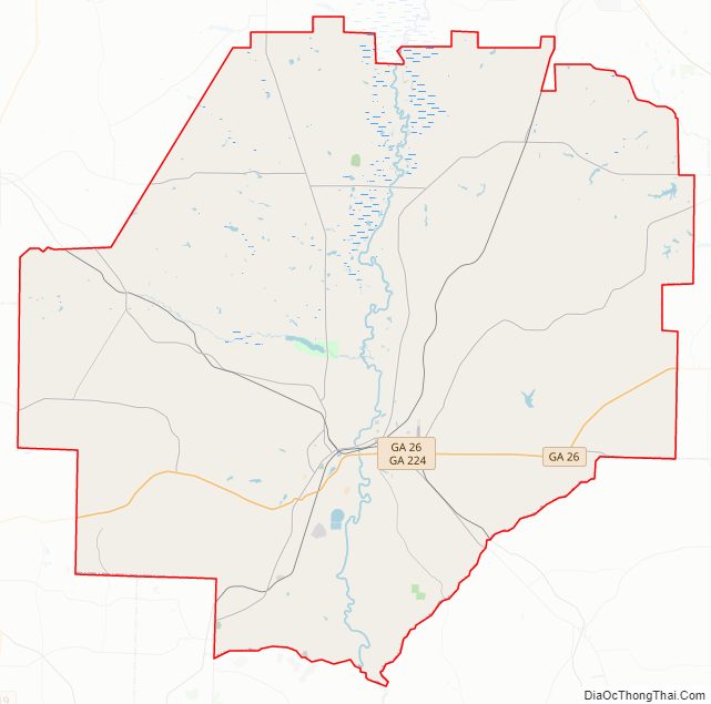
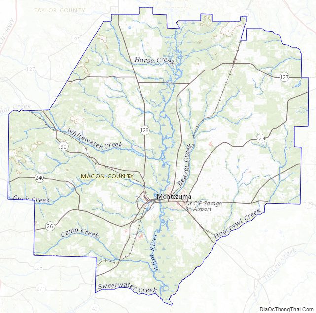
Macon County Road Map
Geography
According to the U.S. Census Bureau, the county has a total area of 406 square miles (1,050 km), of which 401 square miles (1,040 km) is land and 5.4 square miles (14 km) (1.3%) is water. The county is located in the upper Atlantic coastal plain region of the state.
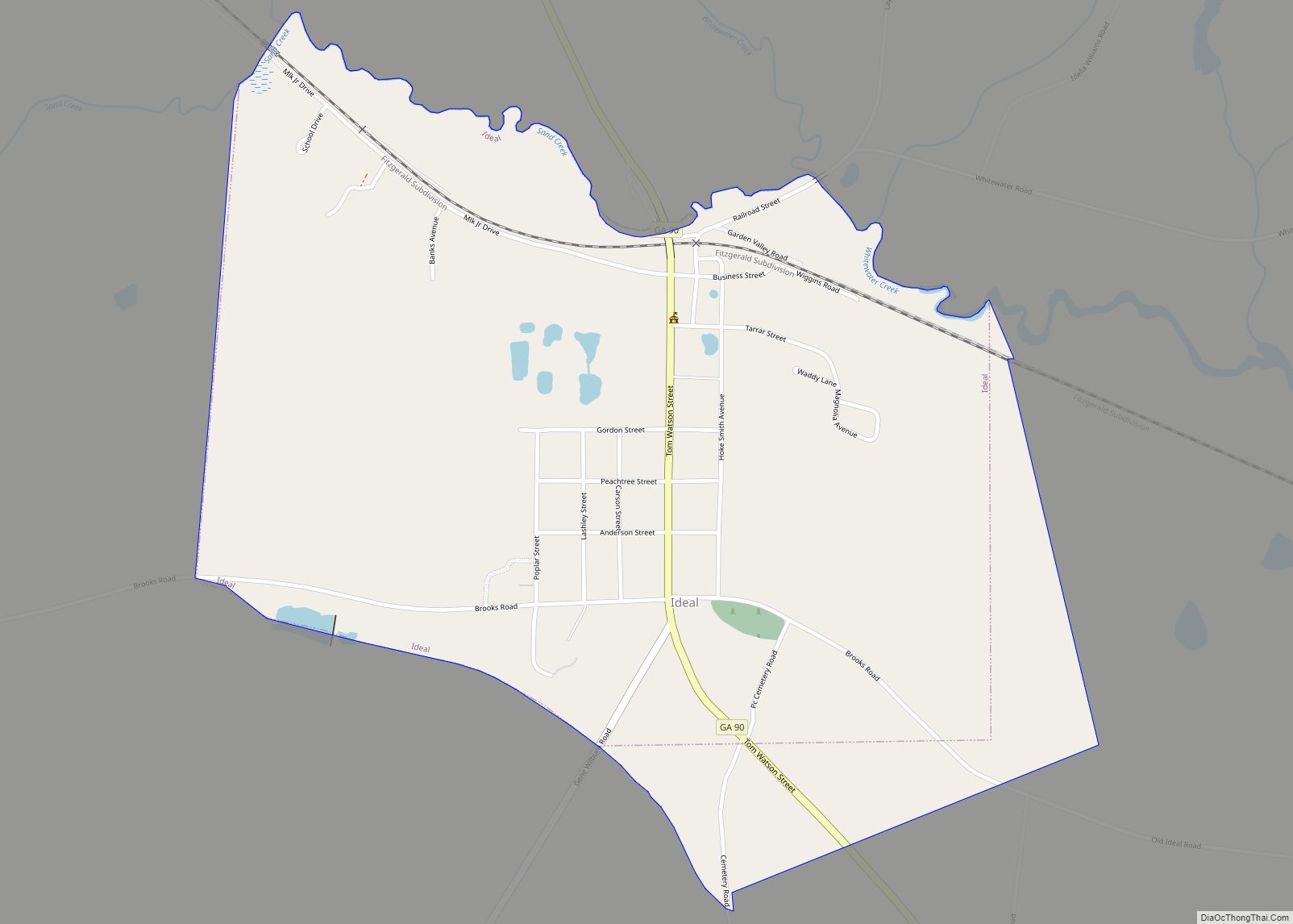
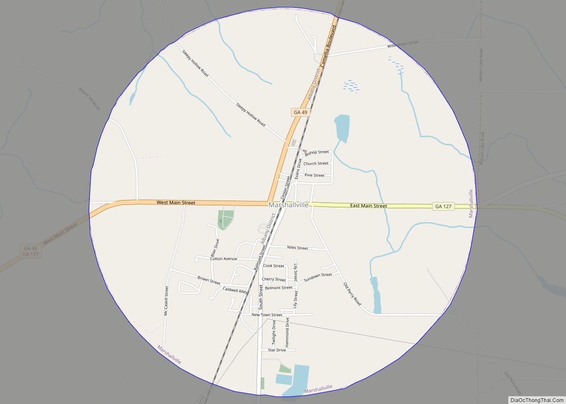
Most of the southern half of Macon County, from west of Ideal to State Route 49 north of Montezuma, then running north along State Route 49 to Marshallville, and then running southeast in the direction of Unadilla, is located in the Middle Flint River sub-basin of the ACF River Basin (Apalachicola-Chattahoochee-Flint River Basin). The northern and northwestern portion of the county, from north of Marshallville heading west, is located in the Upper Flint River sub-basin of the same ACF River Basin. The northeastern corner of Macon County, east of Marshallville, is located in the Lower Ocmulgee River sub-basin of the Altamaha River basin.
Major highways
- State Route 26
- State Route 49
- State Route 90
- State Route 127
- State Route 128
- State Route 128 Bypass
- State Route 224
- State Route 240
- State Route 329
Adjacent counties
- Peach County (northeast)
- Houston County (east)
- Dooly County (southeast)
- Sumter County (south)
- Schley County (southwest)
- Taylor County (northwest)
National protected area
- Andersonville National Historic Site (part)
Macon County Topographic Map
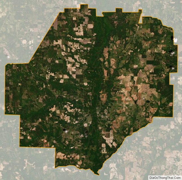
Macon County Satellite Map
Macon County Outline Map