Kenansville is a town in Duplin County, North Carolina, United States. Its population was 855 at the 2010 census. It is the county seat of Duplin County. The town was named for James Kenan, a member of the North Carolina Senate, whose family home Liberty Hall Plantation is in Kenansville.
| Name: | Kenansville town |
|---|---|
| LSAD Code: | 43 |
| LSAD Description: | town (suffix) |
| State: | North Carolina |
| County: | Duplin County |
| Elevation: | 125 ft (38 m) |
| Total Area: | 2.12 sq mi (5.48 km²) |
| Land Area: | 2.12 sq mi (5.48 km²) |
| Water Area: | 0.00 sq mi (0.00 km²) |
| Total Population: | 770 |
| Population Density: | 363.89/sq mi (140.51/km²) |
| ZIP code: | 28349 |
| FIPS code: | 3735460 |
| GNISfeature ID: | 1021026 |
| Website: | kenansville.org |
Online Interactive Map
Click on ![]() to view map in "full screen" mode.
to view map in "full screen" mode.
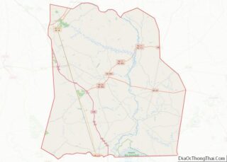
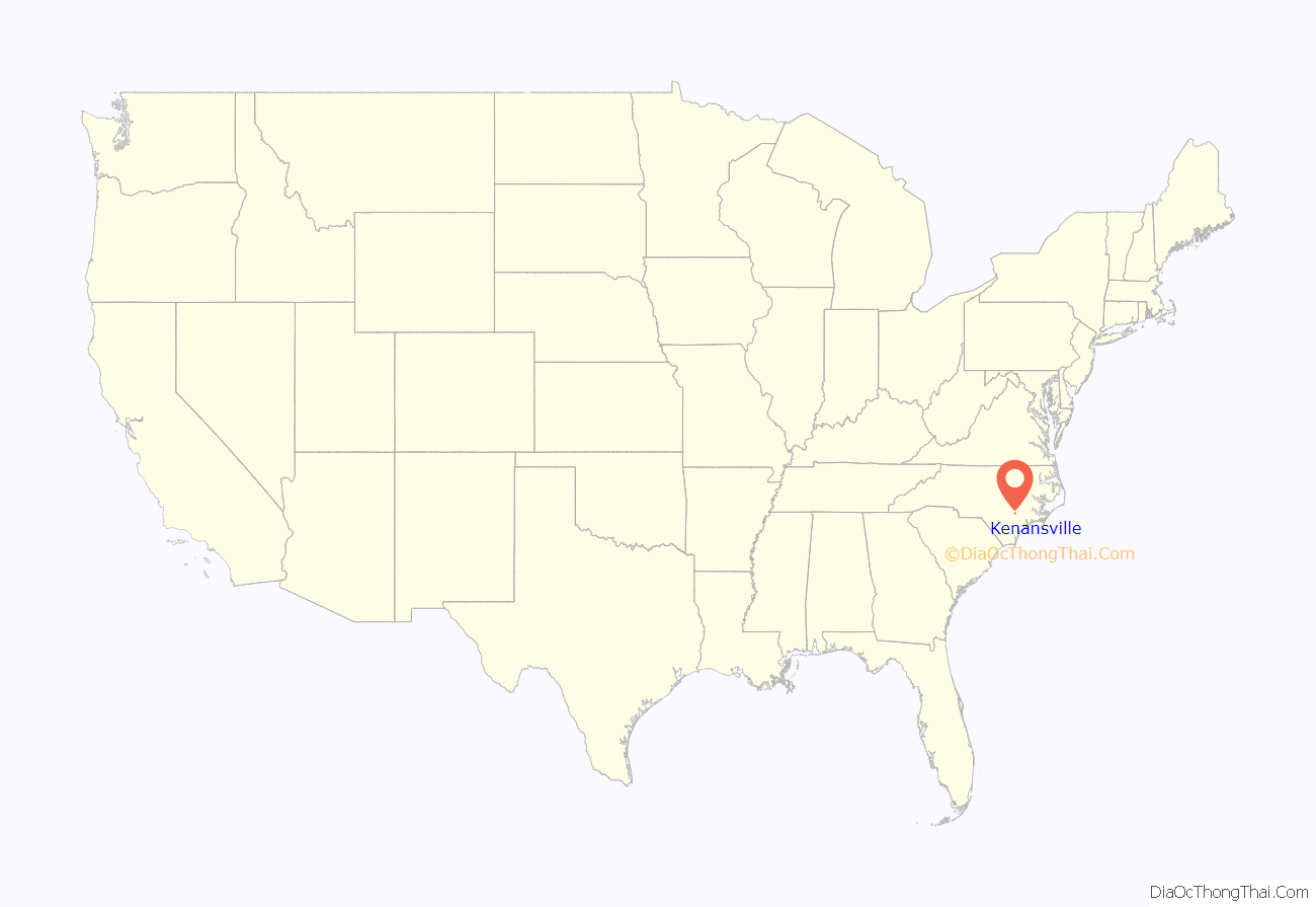
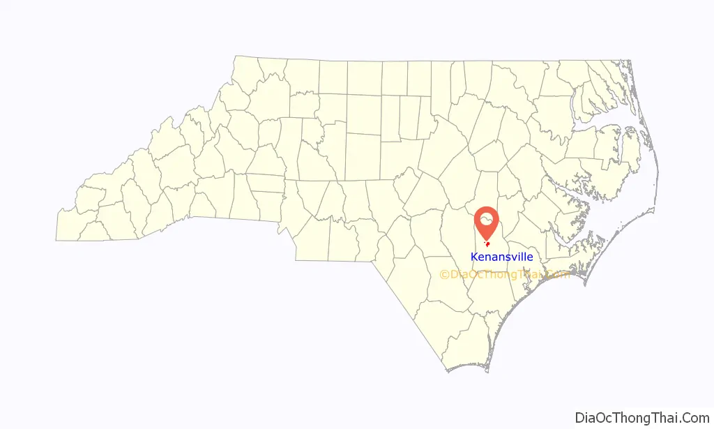
Kenansville location map. Where is Kenansville town?
History
The Needham Whitfield Herring House and Kenansville Historic District are listed on the National Register of Historic Places.
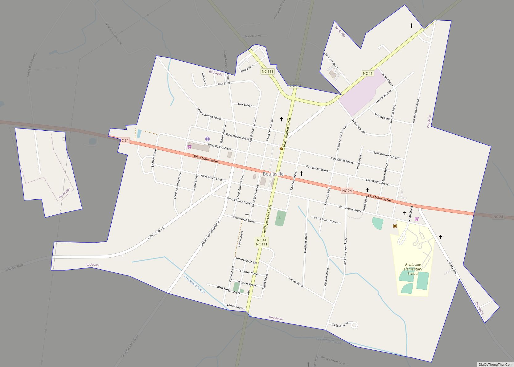
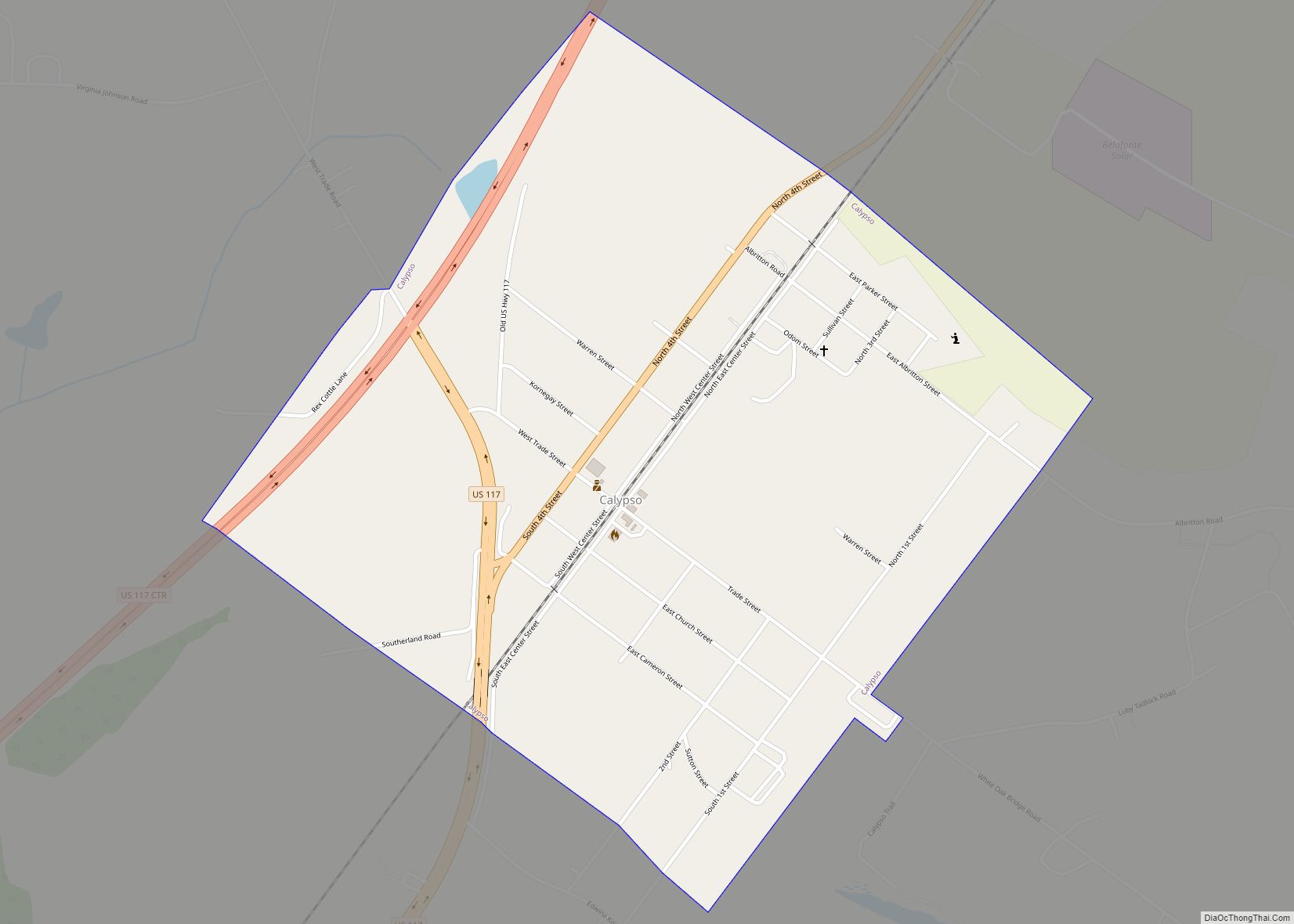
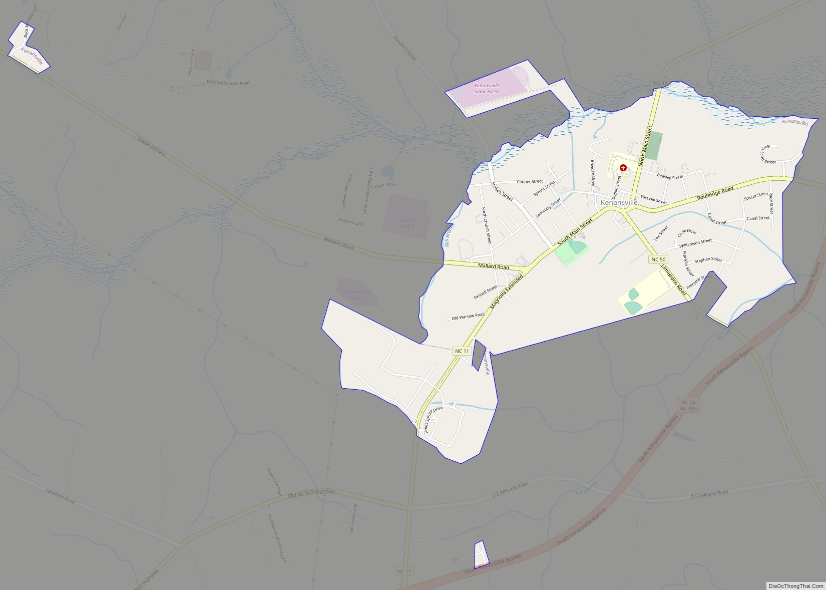
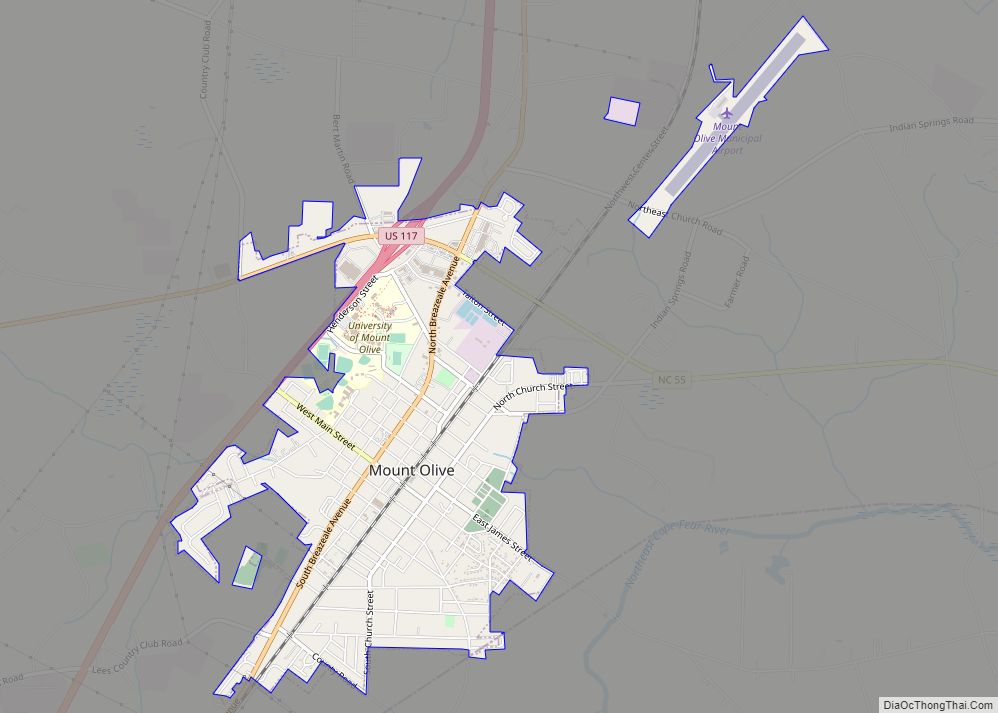
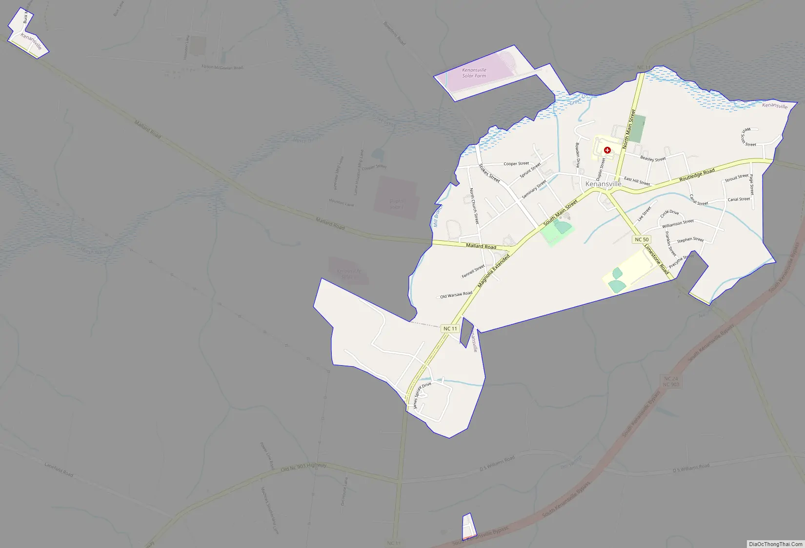
Kenansville Road Map
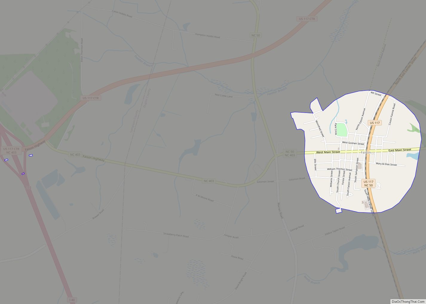
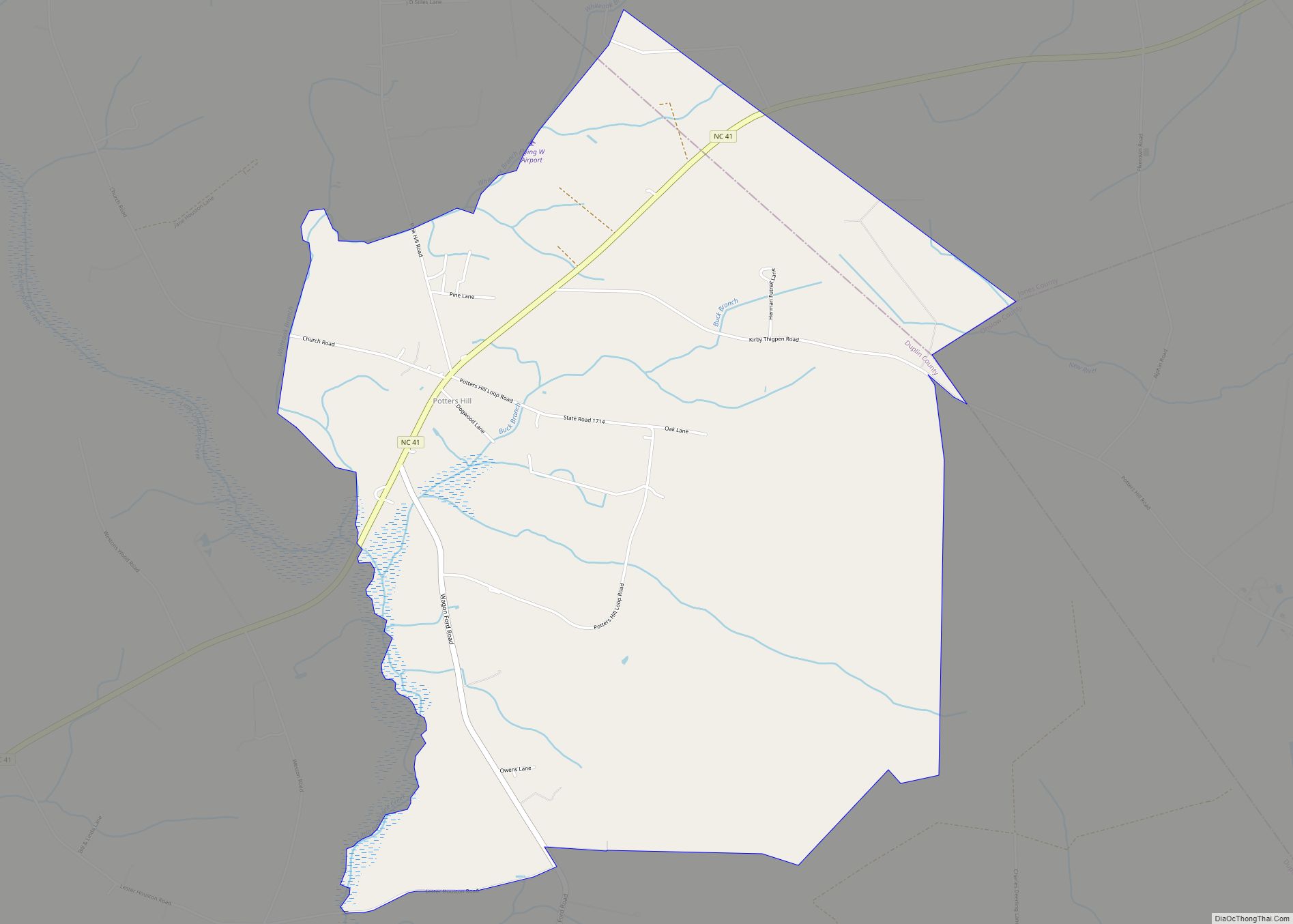
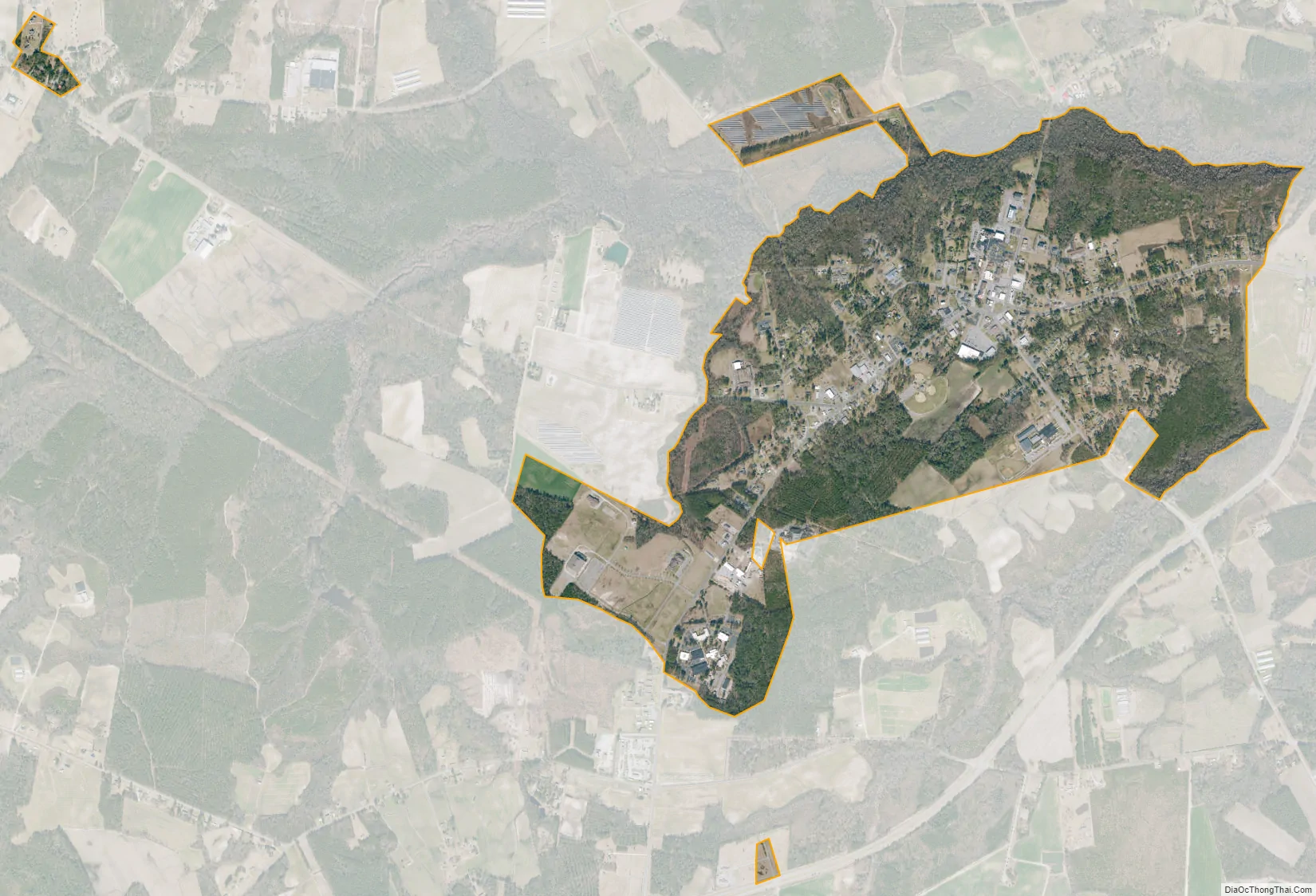
Kenansville city Satellite Map
Geography
Kenansville is located slightly west of the center of Duplin County at 34°57′44″N 77°57′56″W / 34.96222°N 77.96556°W / 34.96222; -77.96556 (34.962119, -77.965658). North Carolina Highways 11 and 50 pass through the center of town, while North Carolina Highway 24 bypasses the town as a four-lane highway to the southeast. NC 24 leads southwest 5 miles (8 km) to Interstate 40 at Exit 373 and east 38 miles (61 km) to Jacksonville. NC 11 leads northeast 33 miles (53 km) to Kinston and south 18 miles (29 km) to Wallace, while NC 50 leads southeast 46 miles (74 km) to Holly Ridge and west 8 miles (13 km) to Warsaw.
According to the United States Census Bureau, Kenansville has a total area of 2.1 square miles (5.5 km), all land.
See also
Map of North Carolina State and its subdivision:- Alamance
- Alexander
- Alleghany
- Anson
- Ashe
- Avery
- Beaufort
- Bertie
- Bladen
- Brunswick
- Buncombe
- Burke
- Cabarrus
- Caldwell
- Camden
- Carteret
- Caswell
- Catawba
- Chatham
- Cherokee
- Chowan
- Clay
- Cleveland
- Columbus
- Craven
- Cumberland
- Currituck
- Dare
- Davidson
- Davie
- Duplin
- Durham
- Edgecombe
- Forsyth
- Franklin
- Gaston
- Gates
- Graham
- Granville
- Greene
- Guilford
- Halifax
- Harnett
- Haywood
- Henderson
- Hertford
- Hoke
- Hyde
- Iredell
- Jackson
- Johnston
- Jones
- Lee
- Lenoir
- Lincoln
- Macon
- Madison
- Martin
- McDowell
- Mecklenburg
- Mitchell
- Montgomery
- Moore
- Nash
- New Hanover
- Northampton
- Onslow
- Orange
- Pamlico
- Pasquotank
- Pender
- Perquimans
- Person
- Pitt
- Polk
- Randolph
- Richmond
- Robeson
- Rockingham
- Rowan
- Rutherford
- Sampson
- Scotland
- Stanly
- Stokes
- Surry
- Swain
- Transylvania
- Tyrrell
- Union
- Vance
- Wake
- Warren
- Washington
- Watauga
- Wayne
- Wilkes
- Wilson
- Yadkin
- Yancey
- Alabama
- Alaska
- Arizona
- Arkansas
- California
- Colorado
- Connecticut
- Delaware
- District of Columbia
- Florida
- Georgia
- Hawaii
- Idaho
- Illinois
- Indiana
- Iowa
- Kansas
- Kentucky
- Louisiana
- Maine
- Maryland
- Massachusetts
- Michigan
- Minnesota
- Mississippi
- Missouri
- Montana
- Nebraska
- Nevada
- New Hampshire
- New Jersey
- New Mexico
- New York
- North Carolina
- North Dakota
- Ohio
- Oklahoma
- Oregon
- Pennsylvania
- Rhode Island
- South Carolina
- South Dakota
- Tennessee
- Texas
- Utah
- Vermont
- Virginia
- Washington
- West Virginia
- Wisconsin
- Wyoming