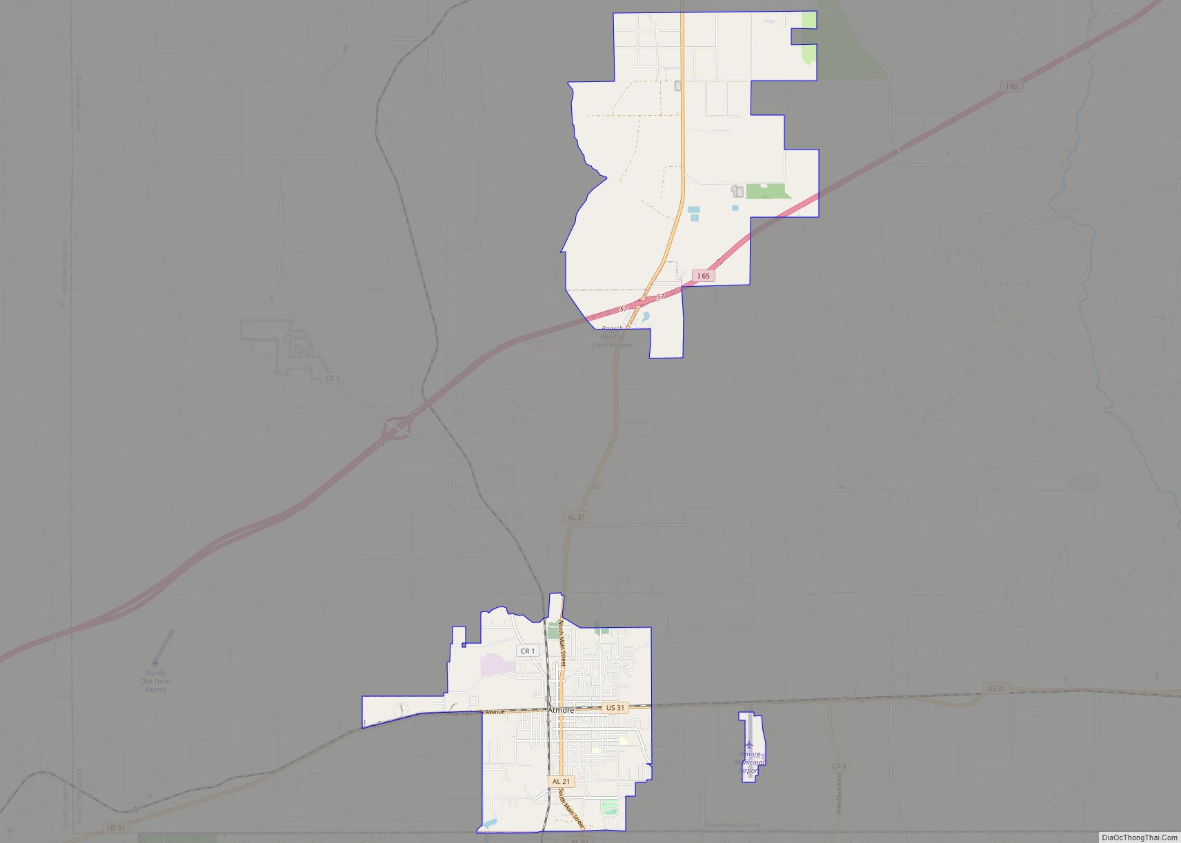
Atmore is a city in Escambia County, Alabama, United States. It was incorporated in 1907. As of the 2020 census, it has a population of 8,391. Atmore is in the planning stages to increase its economic base with additions in its new Rivercane development along the I-65 corridor.
Atmore has completed requirements to be recognized as an Alabama Community of Excellence at the upcoming Alabama League of Municipalities Convention. City officials are also working with the Alabama Historical Commission to have the downtown district listed on the National Register of Historic Places.
On May 23, 2007, Atmore celebrated its centenary.
The federally recognized Poarch Band of Creek Indians is headquartered in Atmore.
| Name: | Atmore city |
|---|---|
| LSAD Code: | 25 |
| LSAD Description: | city (suffix) |
| State: | Alabama |
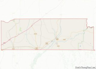
| County: | Escambia County |
| Elevation: | 282 ft (86 m) |
| Total Area: | 21.94 sq mi (56.82 km²) |
| Land Area: | 21.86 sq mi (56.62 km²) |
| Water Area: | 0.07 sq mi (0.19 km²) |
| Total Population: | 8,391 |
| Population Density: | 383.82/sq mi (148.19/km²) |
| ZIP code: | 36502-36504 |
| Area code: | 251 |
| FIPS code: | 0103004 |
| GNISfeature ID: | 0113272 |
| Website: | cityofatmore.com |
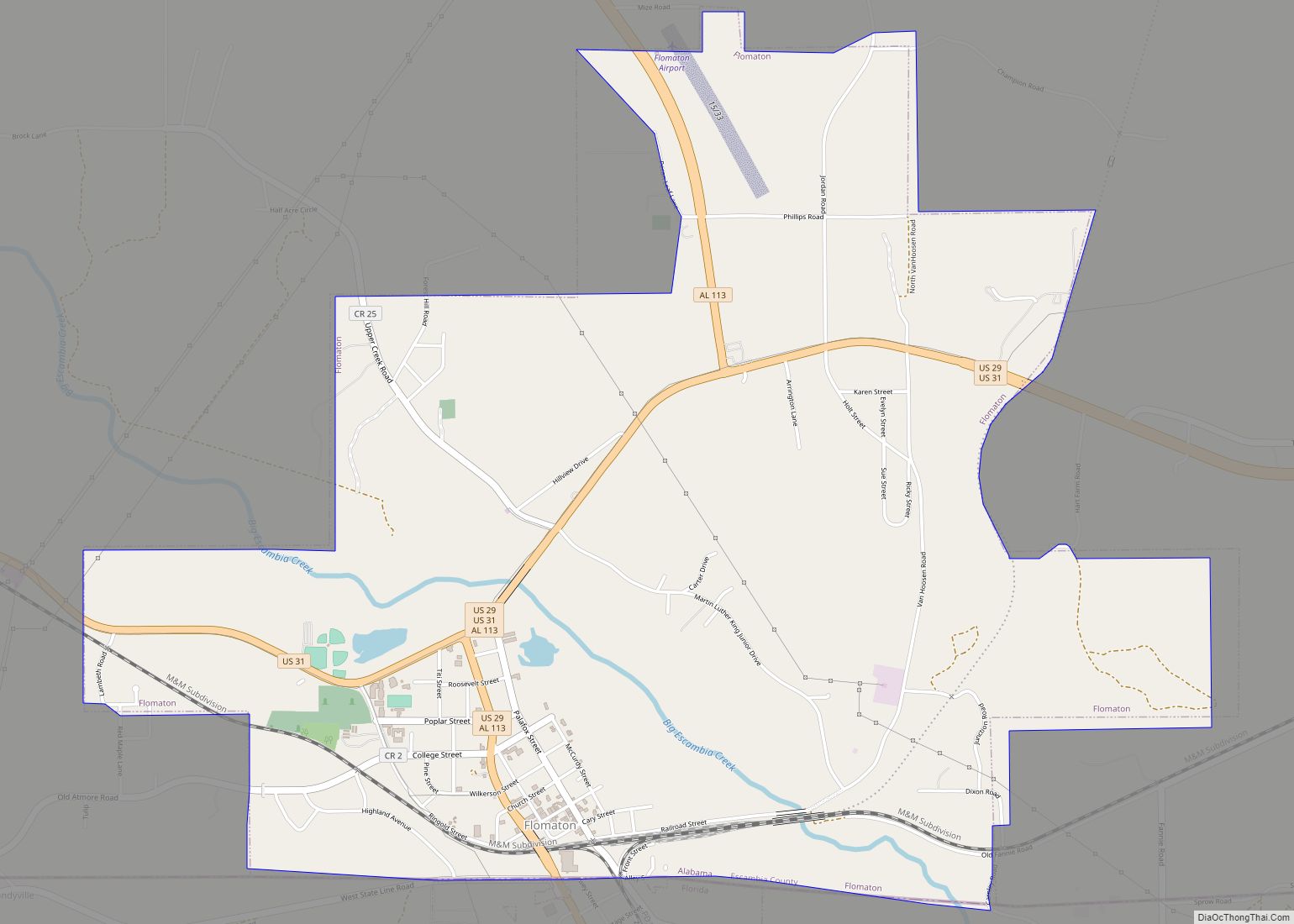
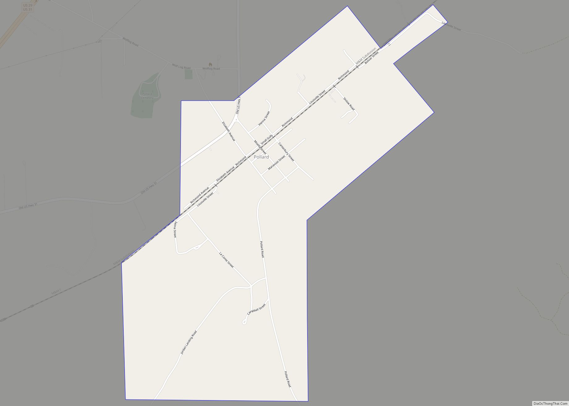
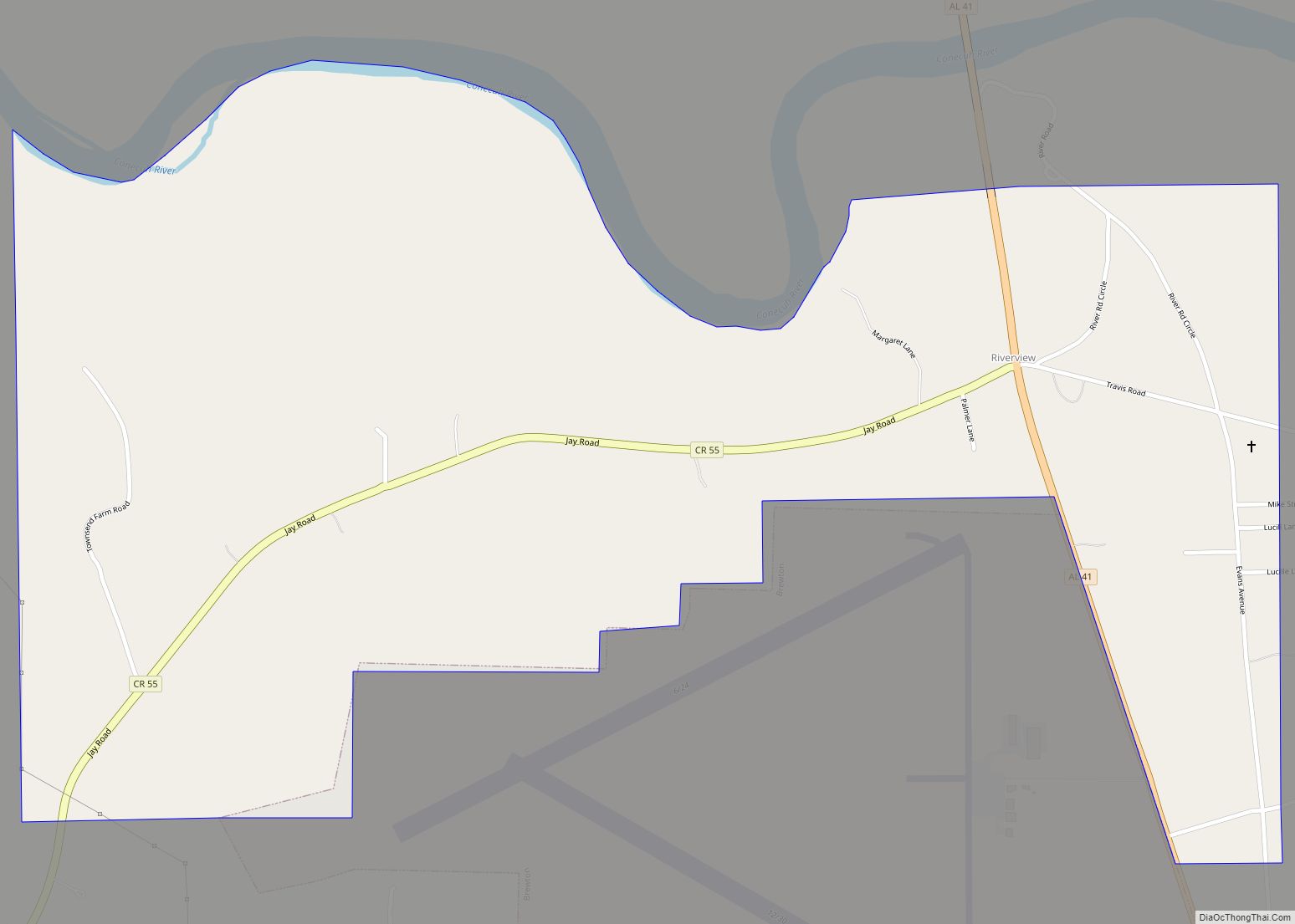
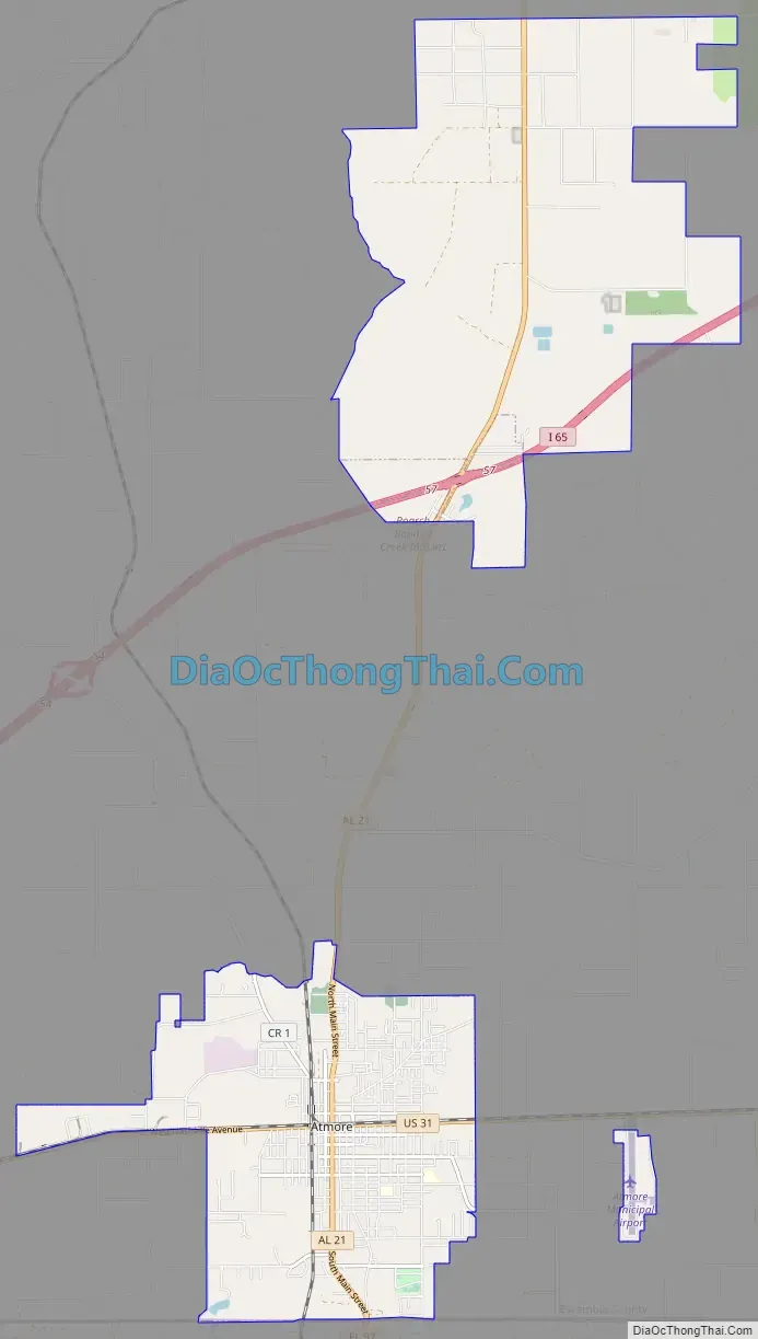
Online Interactive Map
Click on ![]() to view map in "full screen" mode.
to view map in "full screen" mode.
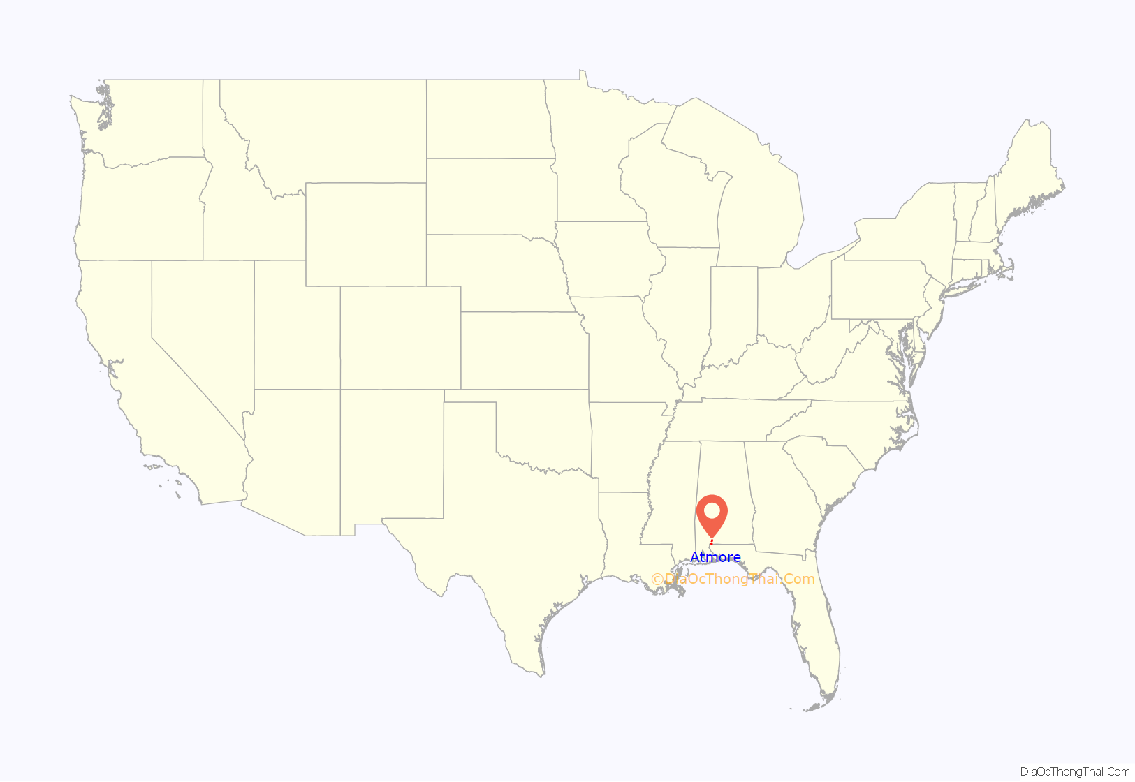
Atmore location map. Where is Atmore city?

History
Atmore was first recorded as a stop (Williams Station) on the Mobile and Great Northern Railroad. The town was originally going to be named “Carney”, in honor of a prominent citizen who owned a sawmill in town. However, Mr. Carney had a brother who had already established a town nearby with the same name. The town then decided to let Mr. Carney name the town. He named it after his close friend C.P. Atmore, General Passenger Agent of the Louisville and Nashville Railroad. Despite it being named in his honor, Mr. Atmore never visited the town.
In 2008 the city of Atmore annexed Alabama Department of Corrections prison property, including Holman Correctional Facility and Fountain Correctional Facility. The Alabama DOC asked for the city to annex the land.
Atmore Road Map
Atmore city Satellite Map

Geography
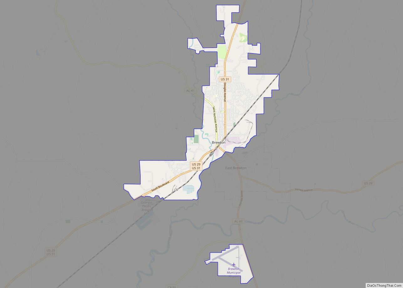
Atmore is located in western Escambia County at 31°1′23″N 87°29′31″W / 31.02306°N 87.49194°W / 31.02306; -87.49194 (31.023183, -87.492067). Its southern border is the Florida state line. The center of town is at the intersection of U.S. Route 31 and Alabama State Route 21, while a new section of the city has been incorporated 6 miles (10 km) to the north around Exit 57 of Interstate 65. US 31 leads southwest 20 miles (32 km) to Bay Minette and east 28 miles (45 km) to Brewton. Mobile is 51 miles (82 km) to the southwest via US 31 and I-65, while Pensacola, Florida, is 49 miles (79 km) south via AL 21, Florida State Road 97, and U.S. Route 29.
According to the U.S. Census Bureau, Atmore has a total area of 21.9 square miles (56.8 km), of which 21.9 square miles (56.6 km) is land and 0.077 square miles (0.2 km), or 0.34%, is water.
See also
Map of Alabama State and its subdivision:- Autauga
- Baldwin
- Barbour
- Bibb
- Blount
- Bullock
- Butler
- Calhoun
- Chambers
- Cherokee
- Chilton
- Choctaw
- Clarke
- Clay
- Cleburne
- Coffee
- Colbert
- Conecuh
- Coosa
- Covington
- Crenshaw
- Cullman
- Dale
- Dallas
- De Kalb
- Elmore
- Escambia
- Etowah
- Fayette
- Franklin
- Geneva
- Greene
- Hale
- Henry
- Houston
- Jackson
- Jefferson
- Lamar
- Lauderdale
- Lawrence
- Lee
- Limestone
- Lowndes
- Macon
- Madison
- Marengo
- Marion
- Marshall
- Mobile
- Monroe
- Montgomery
- Morgan
- Perry
- Pickens
- Pike
- Randolph
- Russell
- Saint Clair
- Shelby
- Sumter
- Talladega
- Tallapoosa
- Tuscaloosa
- Walker
- Washington
- Wilcox
- Winston
- Alabama
- Alaska
- Arizona
- Arkansas
- California
- Colorado
- Connecticut
- Delaware
- District of Columbia
- Florida
- Georgia
- Hawaii
- Idaho
- Illinois
- Indiana
- Iowa
- Kansas
- Kentucky
- Louisiana
- Maine
- Maryland
- Massachusetts
- Michigan
- Minnesota
- Mississippi
- Missouri
- Montana
- Nebraska
- Nevada
- New Hampshire
- New Jersey
- New Mexico
- New York
- North Carolina
- North Dakota
- Ohio
- Oklahoma
- Oregon
- Pennsylvania
- Rhode Island
- South Carolina
- South Dakota
- Tennessee
- Texas
- Utah
- Vermont
- Virginia
- Washington
- West Virginia
- Wisconsin
- Wyoming