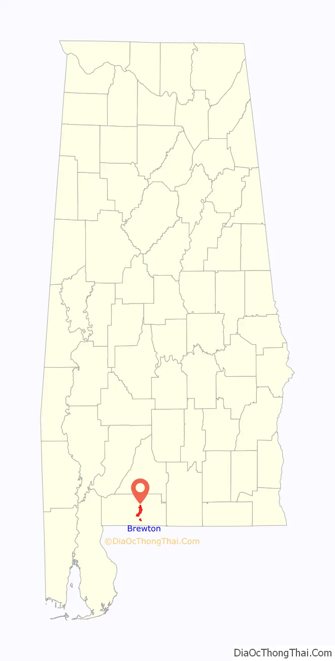
Brewton is a city in and the county seat of Escambia County, Alabama, United States. As of the 2020 census, the population was 5,276. Brewton is located in south central Alabama, just north of the Florida Panhandle.
Brewton was home to the Downing Industrial School, a school for girls. Brewton was ranked as one of the 100 best small towns in America in Norman Crampton’s book, The 100 Best Small Towns in America (1995).
| Name: | Brewton city |
|---|---|
| LSAD Code: | 25 |
| LSAD Description: | city (suffix) |
| State: | Alabama |
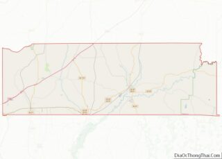
| County: | Escambia County |
| Elevation: | 82 ft (25 m) |
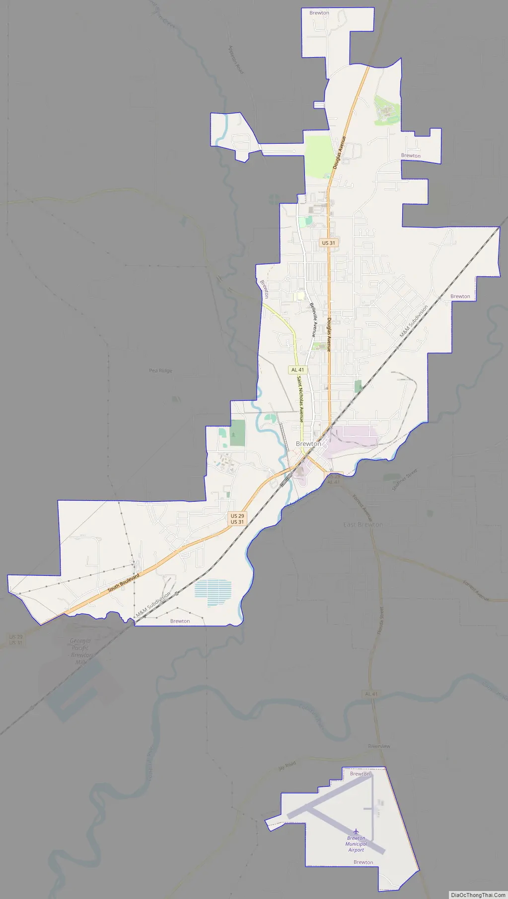
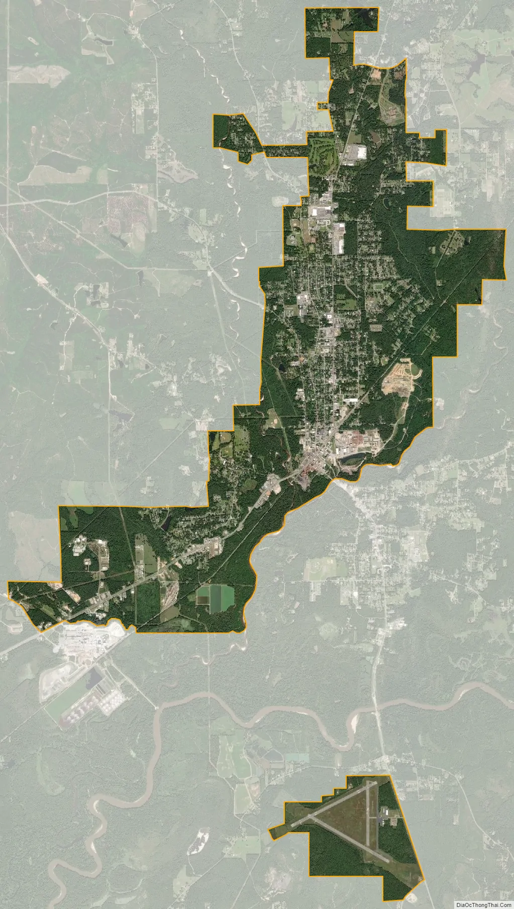
| Total Area: | 11.53 sq mi (29.87 km²) |
| Land Area: | 11.30 sq mi (29.26 km²) |
| Water Area: | 0.24 sq mi (0.61 km²) |
| Total Population: | 5,276 |
| Population Density: | 467.07/sq mi (180.33/km²) |
| ZIP code: | 36426-36427 |
| Area code: | 251 |
| FIPS code: | 0109208 |
| GNISfeature ID: | 0157900 |
| Website: | http://www.cityofbrewton.org/ |
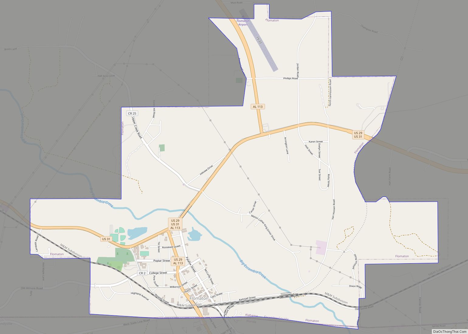
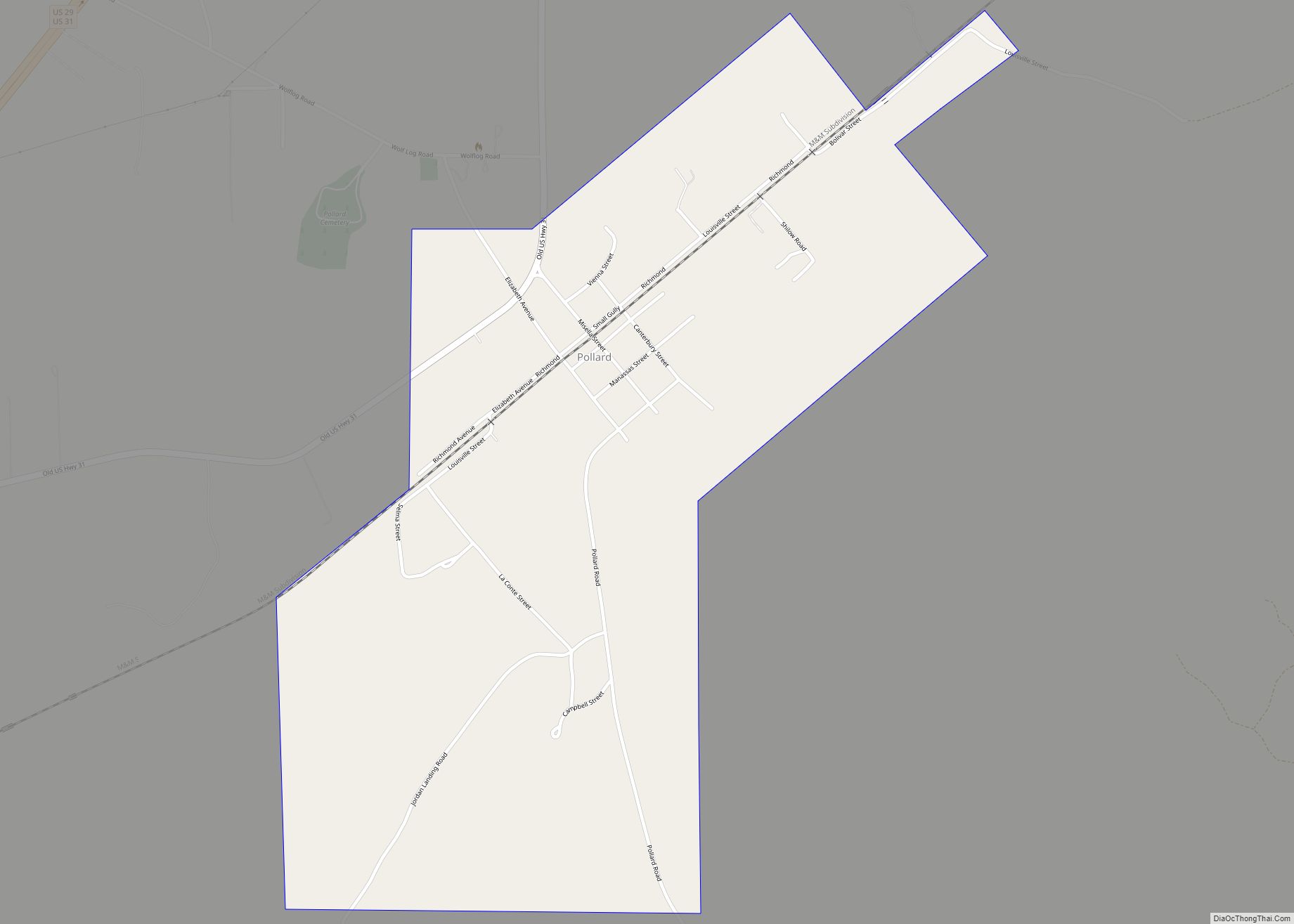
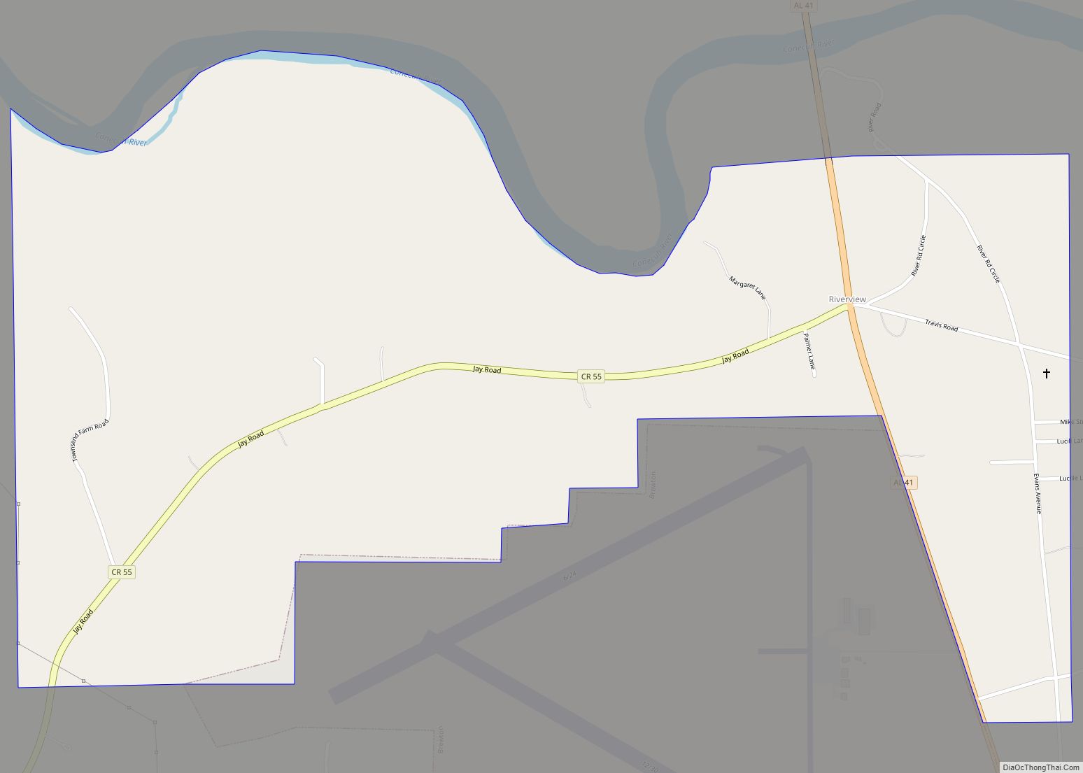
Online Interactive Map
Click on ![]() to view map in "full screen" mode.
to view map in "full screen" mode.
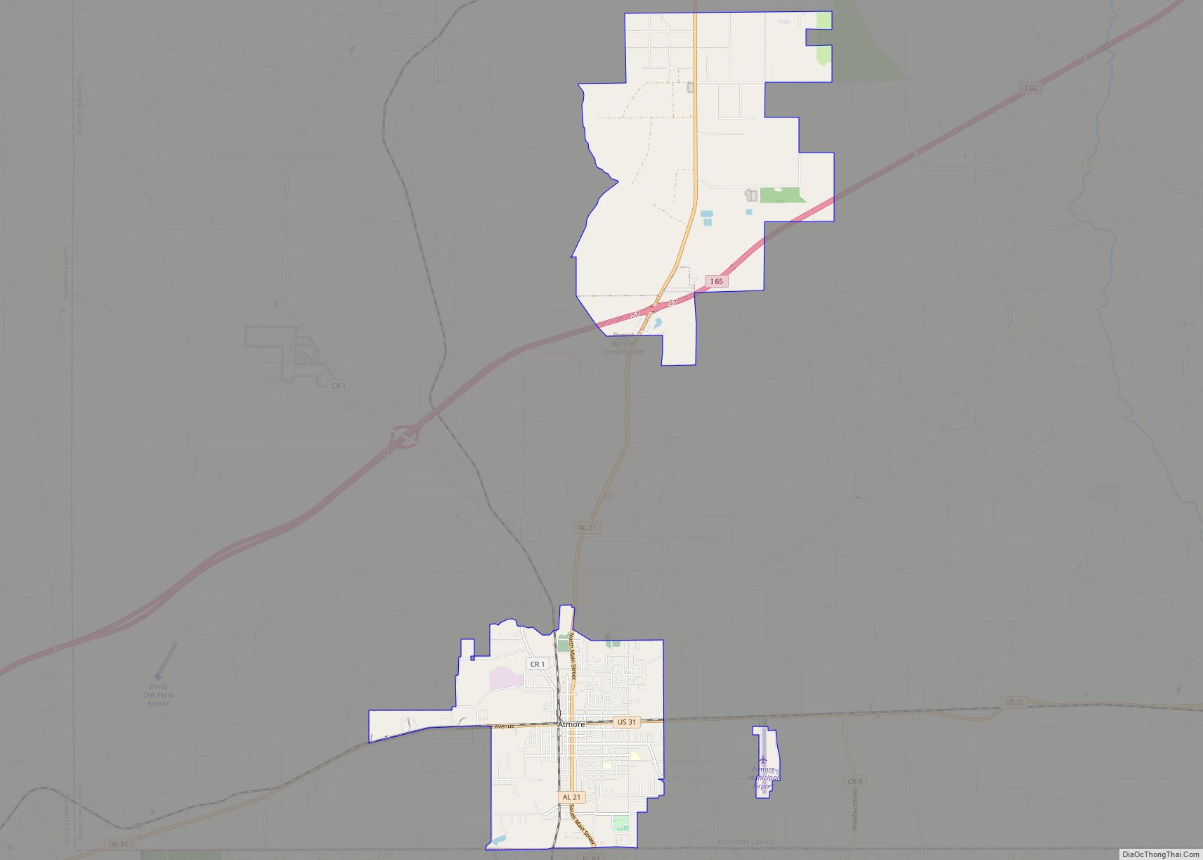
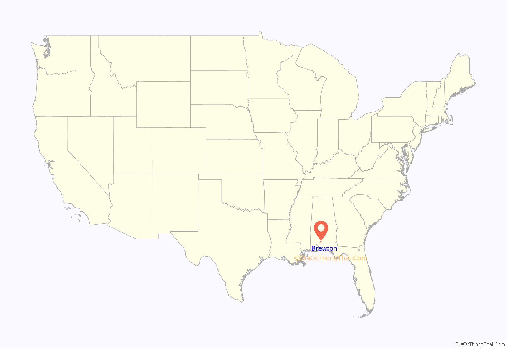
Brewton location map. Where is Brewton city?
History
The settlement at this site was originally known as Newport; barges made runs to and from Pensacola, Florida on Murder Creek and Burnt Corn Creek, before the railroad was constructed. In May 1861, Brewton was established as a train stop by Edmund Troupe Bruton. The area’s lumber began to be harvested by industrialists.
During the Civil War, rail lines were severed, and small lumber mills were damaged or destroyed. After the war, the people rebuilt the Brewton economy, began a school, and established small businesses. Into the 1870s a new European demand for lumber stimulated the founding of numerous timber and lumber operations. The Conecuh-Escambia river system became a timber artery to ports on the Gulf of Mexico.
Brewton was established as a town on February 13, 1885. The state legislature designated the town as the seat of Escambia County, Alabama.
Brewton was known in past times as “the richest little town in the South.” Brewton’s high per capita income was based on the profits enjoyed by a small number of “timber barons.” They had come at the end of the 19th century to harvest the pine forests. With their profits, they had extraordinary homes built along Belleville and Evergreen avenues. Such families include the McMillans, Lovelace and the Millers, many of whose descendants still reside in the town.
Over time the county erected a series of courthouses. Brewton developed an education system that included public and private institutions, including T. R. Miller High School. It was named for Thomas Richard Miller, a local timber baron and town father who donated money toward the building and opening of the school. Jefferson Davis Community College was established here in 1964; it has been renamed as Coastal Alabama Community College Brewton.
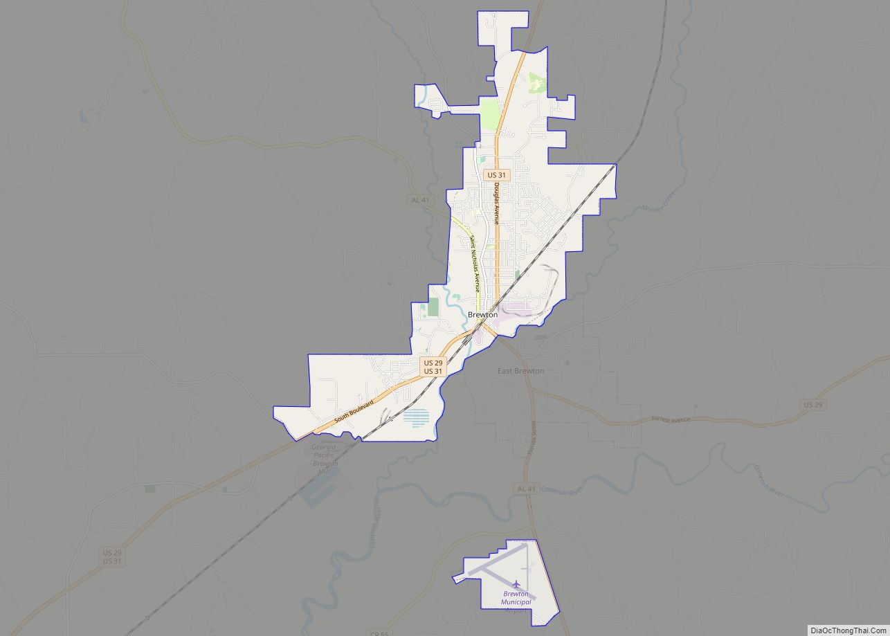
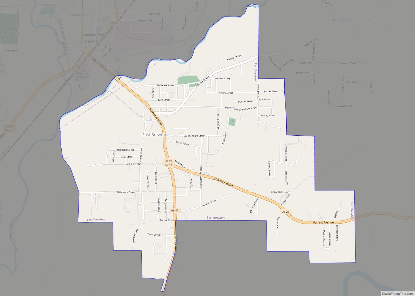
Brewton Road Map
Brewton city Satellite Map
Geography
Brewton is located at 31°7′4″N 87°4′16″W / 31.11778°N 87.07111°W / 31.11778; -87.07111 (31.117706, -87.071164).
According to the U.S. Census Bureau, the city has a total area of 11.5 square miles (30 km), of which 11.3 square miles (29 km) is land and 0.1 square miles (0.26 km) (1.22%) is water.
Climate
Climate is characterized by relatively high temperatures and evenly distributed precipitation throughout the year. The Köppen Climate Classification sub-type for this climate is “Cfa” (Humid Subtropical Climate). The hottest temperature ever recorded in the city was 109 °F (43 °C) on June 18, 1933, and the coldest temperature ever recorded was 3 °F (−16 °C) on January 21, 1985.
See also
Map of Alabama State and its subdivision:- Autauga
- Baldwin
- Barbour
- Bibb
- Blount
- Bullock
- Butler
- Calhoun
- Chambers
- Cherokee
- Chilton
- Choctaw
- Clarke
- Clay
- Cleburne
- Coffee
- Colbert
- Conecuh
- Coosa
- Covington
- Crenshaw
- Cullman
- Dale
- Dallas
- De Kalb
- Elmore
- Escambia
- Etowah
- Fayette
- Franklin
- Geneva
- Greene
- Hale
- Henry
- Houston
- Jackson
- Jefferson
- Lamar
- Lauderdale
- Lawrence
- Lee
- Limestone
- Lowndes
- Macon
- Madison
- Marengo
- Marion
- Marshall
- Mobile
- Monroe
- Montgomery
- Morgan
- Perry
- Pickens
- Pike
- Randolph
- Russell
- Saint Clair
- Shelby
- Sumter
- Talladega
- Tallapoosa
- Tuscaloosa
- Walker
- Washington
- Wilcox
- Winston
- Alabama
- Alaska
- Arizona
- Arkansas
- California
- Colorado
- Connecticut
- Delaware
- District of Columbia
- Florida
- Georgia
- Hawaii
- Idaho
- Illinois
- Indiana
- Iowa
- Kansas
- Kentucky
- Louisiana
- Maine
- Maryland
- Massachusetts
- Michigan
- Minnesota
- Mississippi
- Missouri
- Montana
- Nebraska
- Nevada
- New Hampshire
- New Jersey
- New Mexico
- New York
- North Carolina
- North Dakota
- Ohio
- Oklahoma
- Oregon
- Pennsylvania
- Rhode Island
- South Carolina
- South Dakota
- Tennessee
- Texas
- Utah
- Vermont
- Virginia
- Washington
- West Virginia
- Wisconsin
- Wyoming