Daisy is a city in Evans County, Georgia, United States. The population was 129 at the 2010 census.
| Name: | Daisy city |
|---|---|
| LSAD Code: | 25 |
| LSAD Description: | city (suffix) |
| State: | Georgia |
| County: | Evans County |
| Elevation: | 151 ft (46 m) |
| Total Area: | 1.02 sq mi (2.64 km²) |
| Land Area: | 0.96 sq mi (2.49 km²) |
| Water Area: | 0.06 sq mi (0.14 km²) |
| Total Population: | 159 |
| Population Density: | 165.11/sq mi (63.77/km²) |
| ZIP code: | 30423 |
| Area code: | 912 |
| FIPS code: | 1321268 |
| GNISfeature ID: | 0355421 |
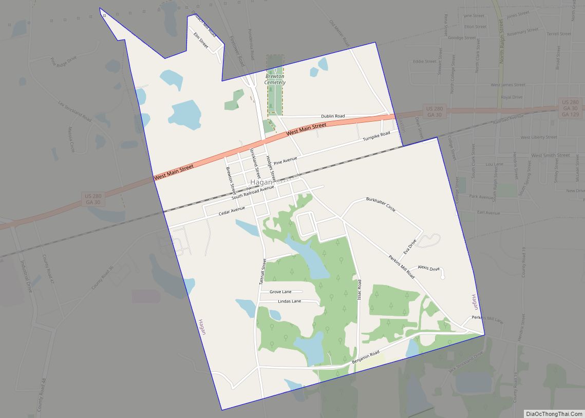
Online Interactive Map
Click on ![]() to view map in "full screen" mode.
to view map in "full screen" mode.
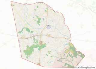
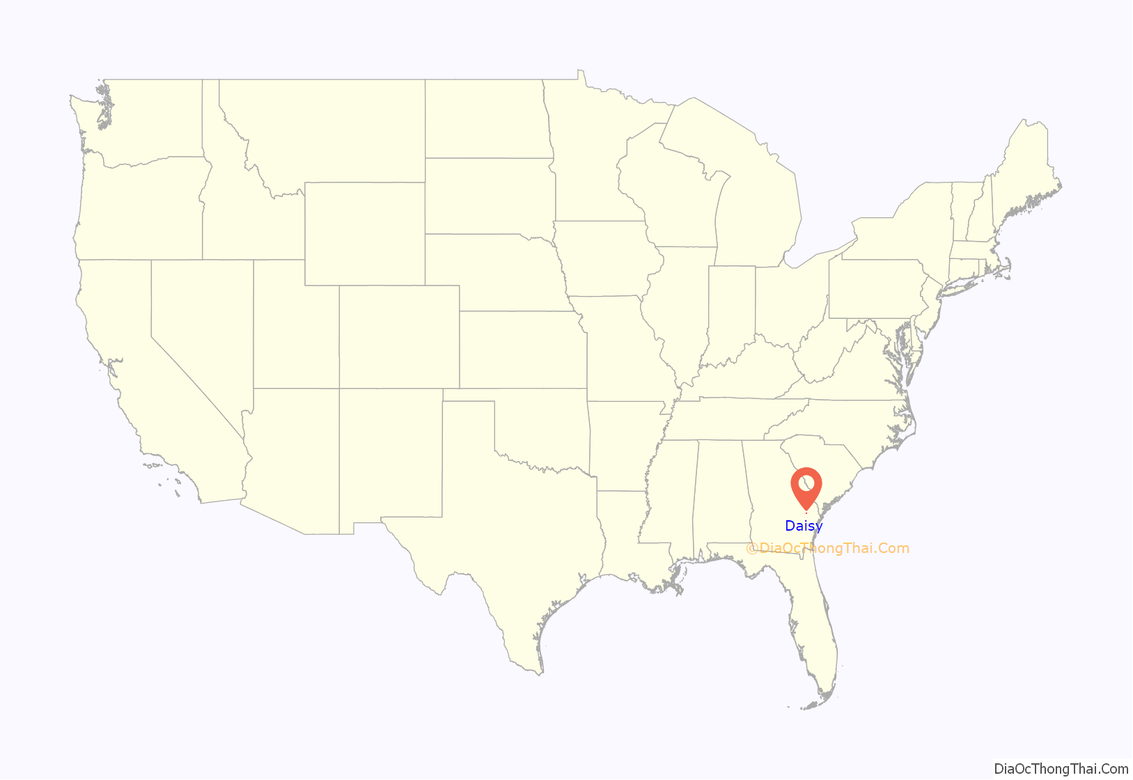
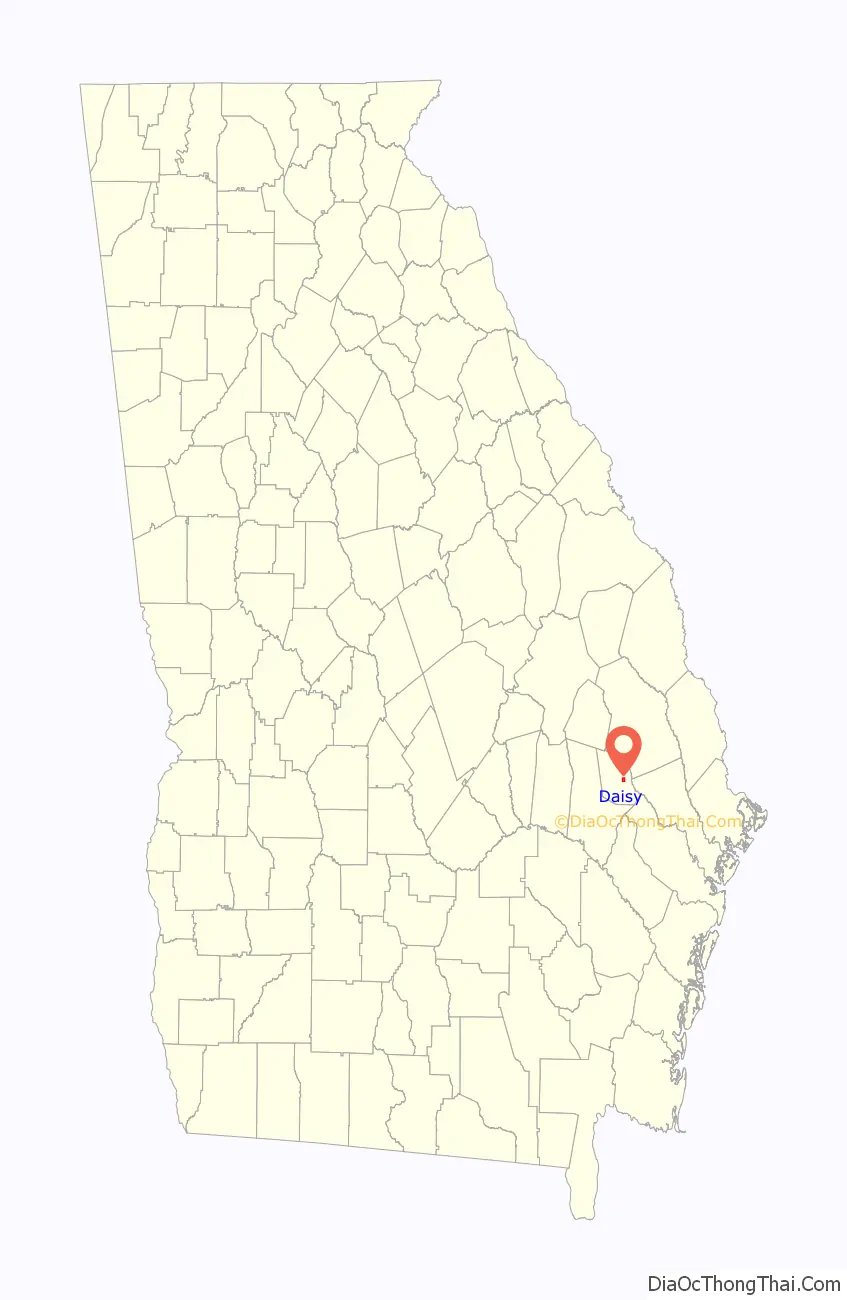
Daisy location map. Where is Daisy city?
History
The city of Daisy, Georgia was established in 1890, the same year that the Savannah and Western Railroad built a railroad line through the area. The town was going to be known as Conley, in honor of Rev. W.F. Conley, a Methodist minister, but the postal service rejected the application for a post office on May 17, 1890 because of the existence of another Conley, Georgia. The people of the community then decided on Daisy, naming their town for Daisy Leola Edwards, daughter of Thomas Jefferson Edwards and the granddaughter of W.F. Conley. The application for a post office under this name was made on July 14, 1890 and approved on August 26, 1890.
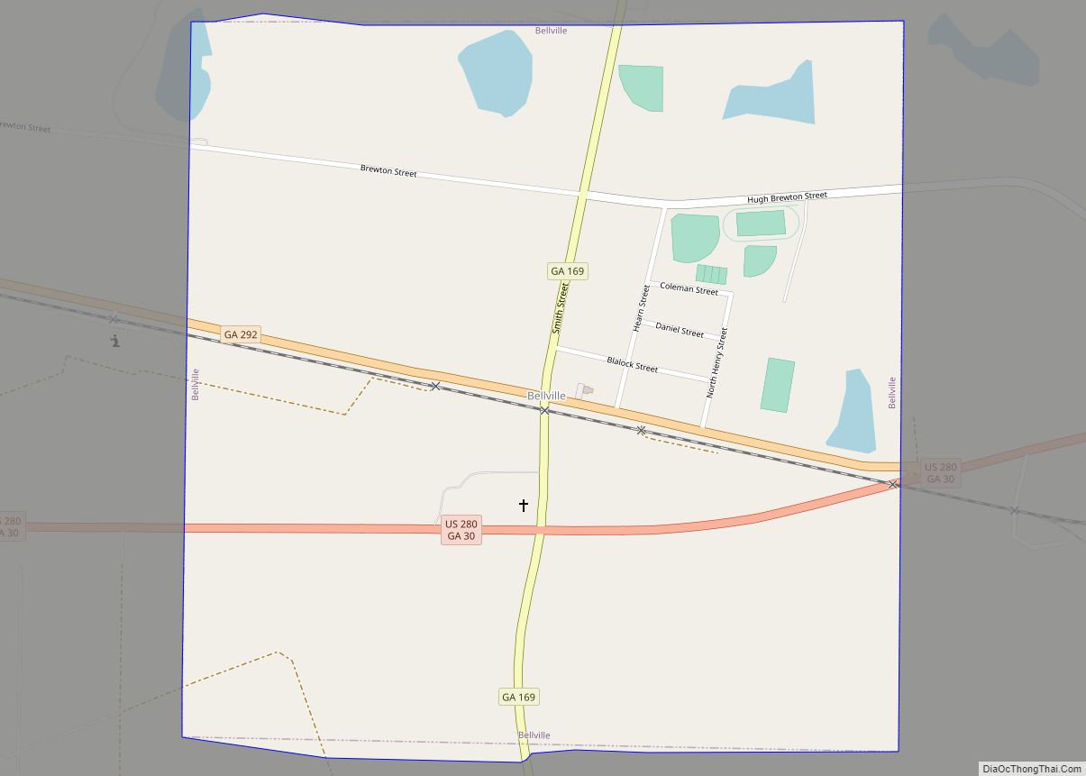
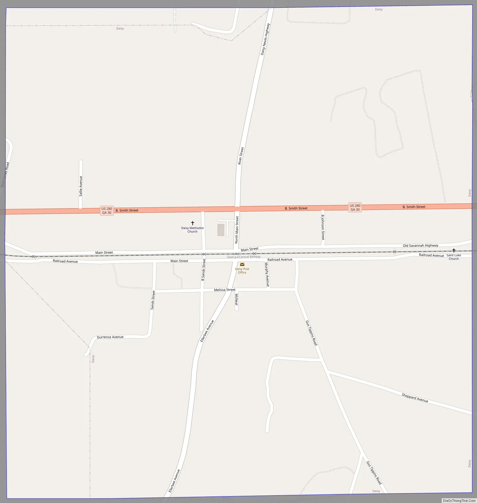
Daisy Road Map
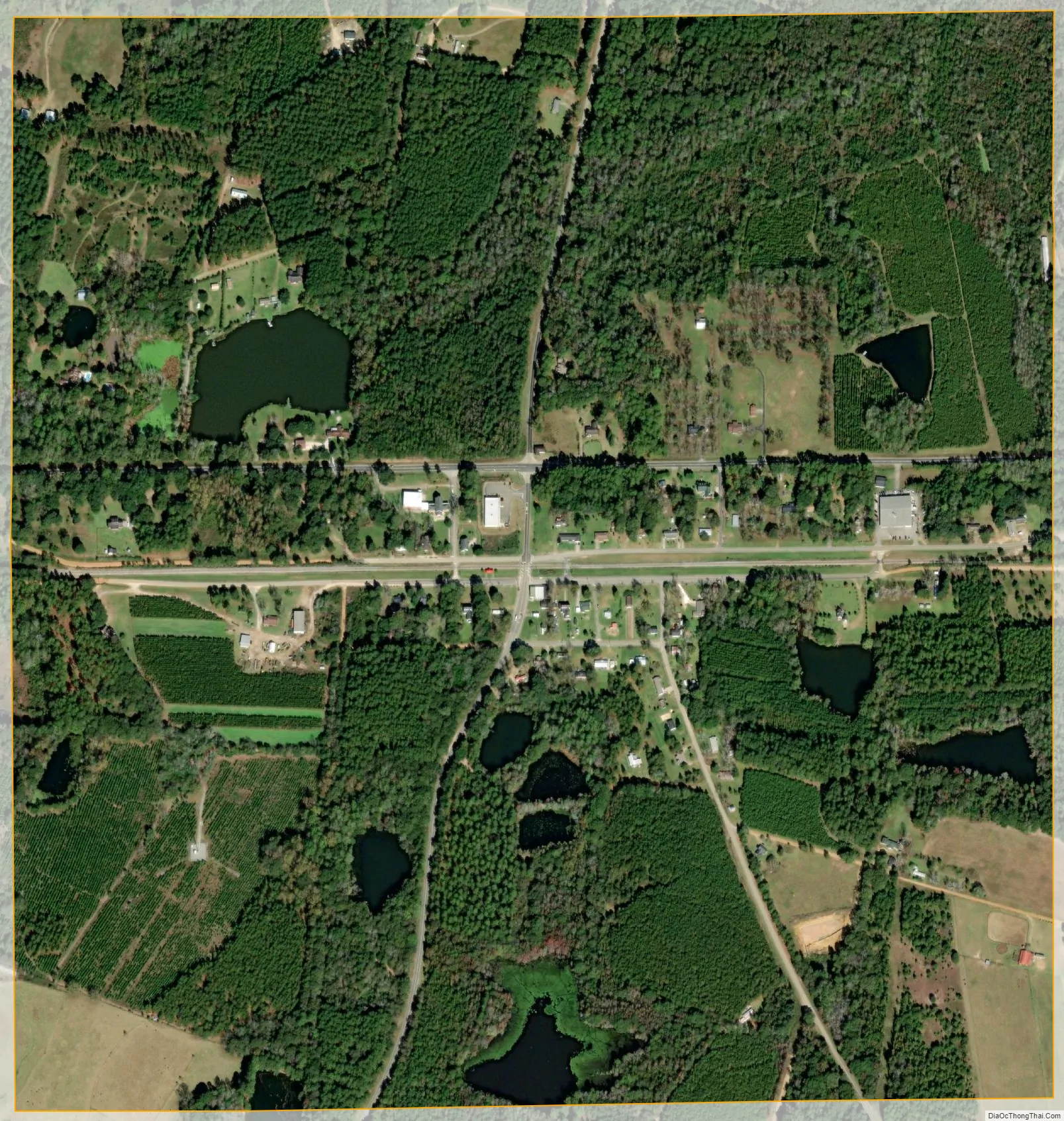
Daisy city Satellite Map
Geography
Daisy is located at 32°9′0″N 81°50′9″W / 32.15000°N 81.83583°W / 32.15000; -81.83583 (32.150060, −81.835823).
According to the United States Census Bureau, the city has a total area of 1.0 square mile (2.6 km), of which 1.0 square mile (2.6 km) is land and 0.04 square miles (0.10 km) (2.94%) is water.
Climate
Daisy has a humid subtropical climate according to the Köppen classification. The city has hot and humid summers with average highs of 94 degrees and lows of 70 degrees in July. Winters are mild with average January highs of 61 degrees and lows of 36 degrees. Winter storms are rare, but they can happen on occasion.
See also
Map of Georgia State and its subdivision:- Appling
- Atkinson
- Bacon
- Baker
- Baldwin
- Banks
- Barrow
- Bartow
- Ben Hill
- Berrien
- Bibb
- Bleckley
- Brantley
- Brooks
- Bryan
- Bulloch
- Burke
- Butts
- Calhoun
- Camden
- Candler
- Carroll
- Catoosa
- Charlton
- Chatham
- Chattahoochee
- Chattooga
- Cherokee
- Clarke
- Clay
- Clayton
- Clinch
- Cobb
- Coffee
- Colquitt
- Columbia
- Cook
- Coweta
- Crawford
- Crisp
- Dade
- Dawson
- Decatur
- DeKalb
- Dodge
- Dooly
- Dougherty
- Douglas
- Early
- Echols
- Effingham
- Elbert
- Emanuel
- Evans
- Fannin
- Fayette
- Floyd
- Forsyth
- Franklin
- Fulton
- Gilmer
- Glascock
- Glynn
- Gordon
- Grady
- Greene
- Gwinnett
- Habersham
- Hall
- Hancock
- Haralson
- Harris
- Hart
- Heard
- Henry
- Houston
- Irwin
- Jackson
- Jasper
- Jeff Davis
- Jefferson
- Jenkins
- Johnson
- Jones
- Lamar
- Lanier
- Laurens
- Lee
- Liberty
- Lincoln
- Long
- Lowndes
- Lumpkin
- Macon
- Madison
- Marion
- McDuffie
- McIntosh
- Meriwether
- Miller
- Mitchell
- Monroe
- Montgomery
- Morgan
- Murray
- Muscogee
- Newton
- Oconee
- Oglethorpe
- Paulding
- Peach
- Pickens
- Pierce
- Pike
- Polk
- Pulaski
- Putnam
- Quitman
- Rabun
- Randolph
- Richmond
- Rockdale
- Schley
- Screven
- Seminole
- Spalding
- Stephens
- Stewart
- Sumter
- Talbot
- Taliaferro
- Tattnall
- Taylor
- Telfair
- Terrell
- Thomas
- Tift
- Toombs
- Towns
- Treutlen
- Troup
- Turner
- Twiggs
- Union
- Upson
- Walker
- Walton
- Ware
- Warren
- Washington
- Wayne
- Webster
- Wheeler
- White
- Whitfield
- Wilcox
- Wilkes
- Wilkinson
- Worth
- Alabama
- Alaska
- Arizona
- Arkansas
- California
- Colorado
- Connecticut
- Delaware
- District of Columbia
- Florida
- Georgia
- Hawaii
- Idaho
- Illinois
- Indiana
- Iowa
- Kansas
- Kentucky
- Louisiana
- Maine
- Maryland
- Massachusetts
- Michigan
- Minnesota
- Mississippi
- Missouri
- Montana
- Nebraska
- Nevada
- New Hampshire
- New Jersey
- New Mexico
- New York
- North Carolina
- North Dakota
- Ohio
- Oklahoma
- Oregon
- Pennsylvania
- Rhode Island
- South Carolina
- South Dakota
- Tennessee
- Texas
- Utah
- Vermont
- Virginia
- Washington
- West Virginia
- Wisconsin
- Wyoming