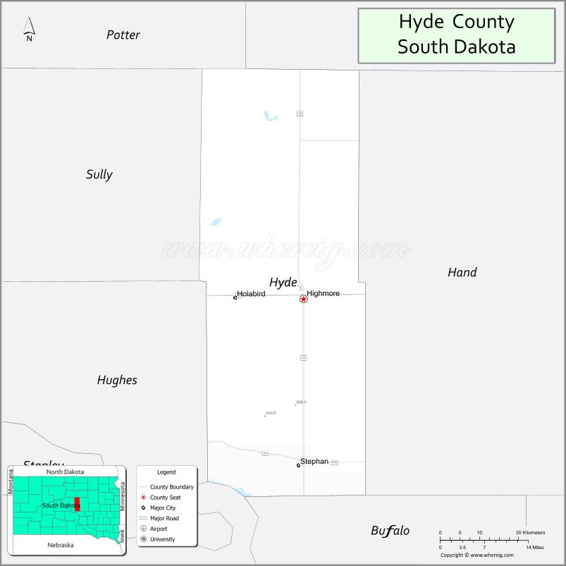
Hyde County is a county in the U.S. state of South Dakota. As of the 2020 census, the population was 1,262, making it the second-least populous county in South Dakota. Its county seat is Highmore. The county was founded in 1873, as a county of the Dakota Territory, and organized in 1883. It was named for James Hyde, a member of legislature in the 1870s.
| Name: | Hyde County |
|---|---|
| FIPS code: | 46-069 |
| State: | South Dakota |
| Founded: | 1883 |
| Named for: | James Hyde |
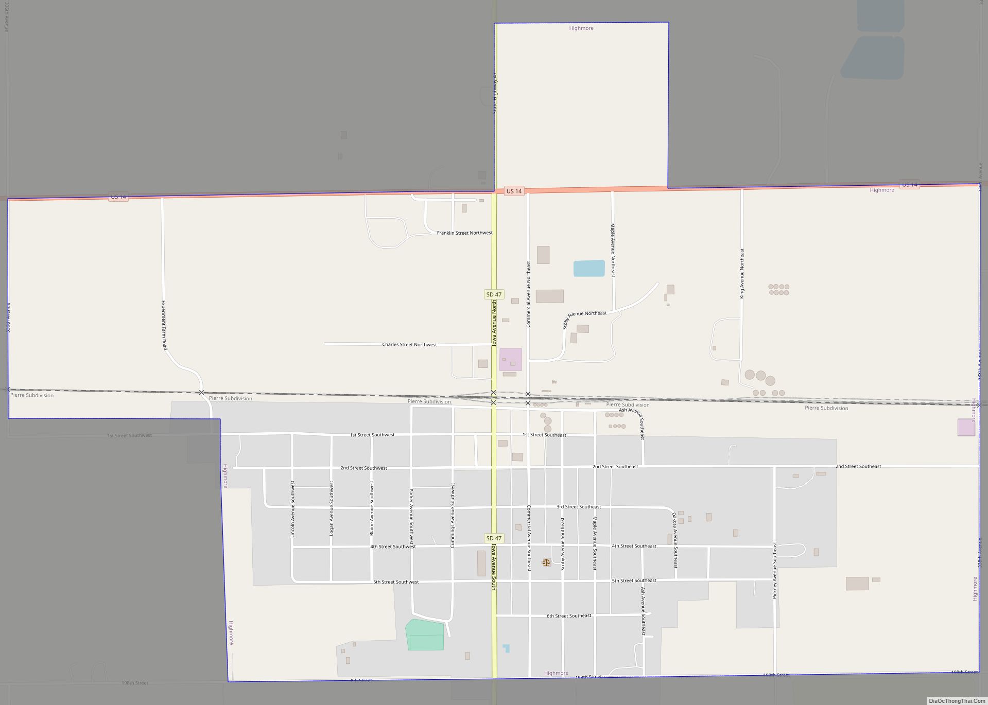
| Seat: | Highmore |
| Largest city: | Highmore |
| Total Area: | 866 sq mi (2,240 km²) |
| Land Area: | 861 sq mi (2,230 km²) |
| Total Population: | 1,262 |
| Population Density: | 1.5/sq mi (0.56/km²) |
| Time zone: | UTC−6 (Central) |
| Summer Time Zone (DST): | UTC−5 (CDT) |
| Website: | hydeco.org |
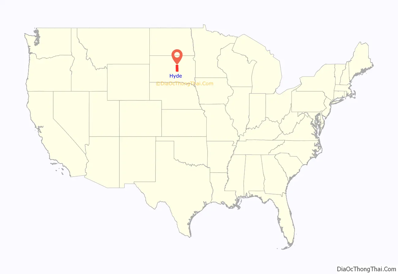
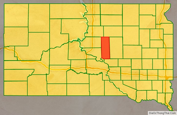
Hyde County location map. Where is Hyde County?
History
Hyde County was created by the territorial legislature on January 8, 1873, with area partitioned from Buffalo County. It was not organized by that action. Its boundaries were altered by changes in October 1879 and February 1883. On November 5, 1883, the county organization was filled and the county was placed in independent operation.
The current Hyde County courthouse was constructed in 1911 (it is currently listed on the National Register of Historic Places). The county organization included a jail until 1974, when the jail was abandoned and jail-related services were contracted to surrounding counties.
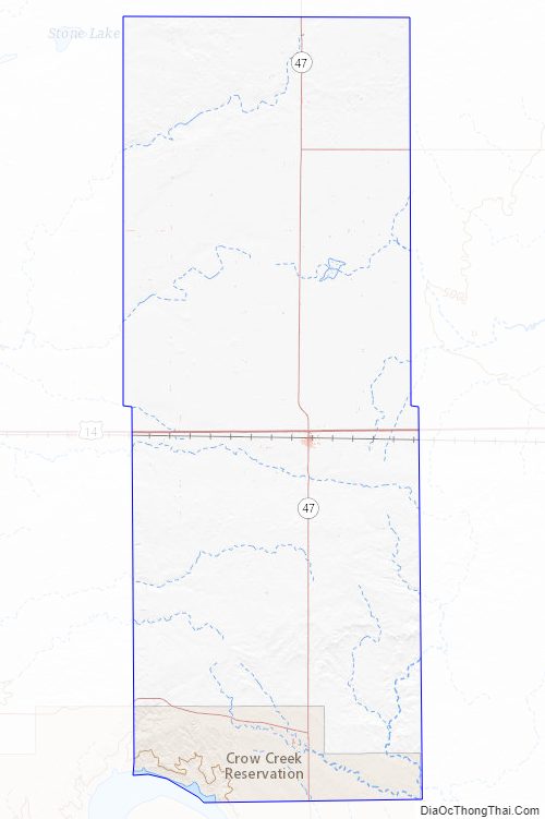
Hyde County Road Map
Geography
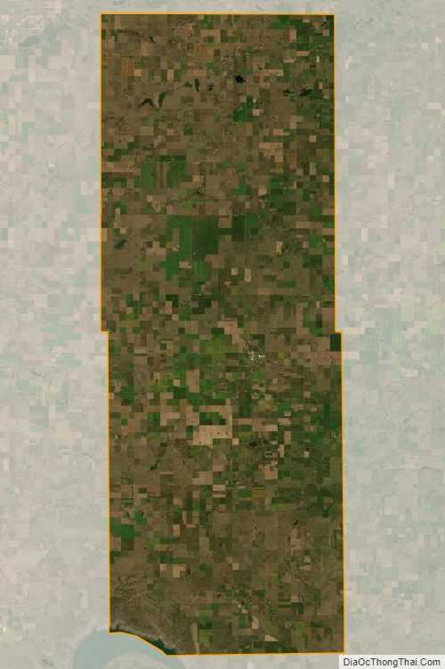
The county terrain consists of semi-arid rolling hills, partly devoted to agriculture. The Missouri River flows southeastward at its SW corner, and delineates a portion of the county’s south boundary line.
The terrain slopes toward the county’s SW corner. Its highest point is on the lower part of its eastern boundary line, at 2,080′ (634m) ASL.
Hyde County has a total area of 866 square miles (2,240 km), of which 861 square miles (2,230 km) is land and 5.6 square miles (15 km) (0.6%) is water.
Major highways
- U.S. Highway 14
- South Dakota Highway 26
- South Dakota Highway 34
- South Dakota Highway 47
Adjacent counties
- Faulk County – north
- Hand County – east
- Buffalo County – south
- Lyman County – southwest
- Hughes County – southwest
- Sully County – west
- Potter County – northwest
Protected areas
- Chapelle State Game Production Area
- Highmore State Game Production Area
- Rezac Lake State Game Production Area
- Rice Lake State Game Production Area
Lakes
- Baloun Lake
- Chapelle Lake
- Lake Boehm
- Rezac Lake
- Rice Lake
- Thomas Lake
Hyde County Topographic Map
Hyde County Satellite Map
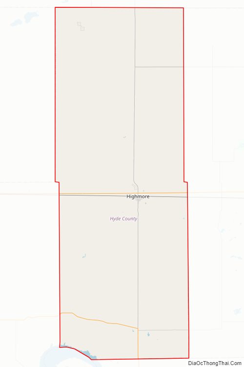
Hyde County Outline Map