Oak Hill is a city in Fayette County, West Virginia, United States. The population was 8,179 at the 2020 census. It is part of the Beckley metropolitan area. The city is also home to the historic Oak Hill Railroad Depot which still stands today as an artisan shop. Country singer Hank Williams died in Oak Hill on his way to a concert on January 1, 1953. More recently, recreation has become a leading industry as the city neighbors the New River Gorge National Park and Preserve.
| Name: | Oak Hill city |
|---|---|
| LSAD Code: | 25 |
| LSAD Description: | city (suffix) |
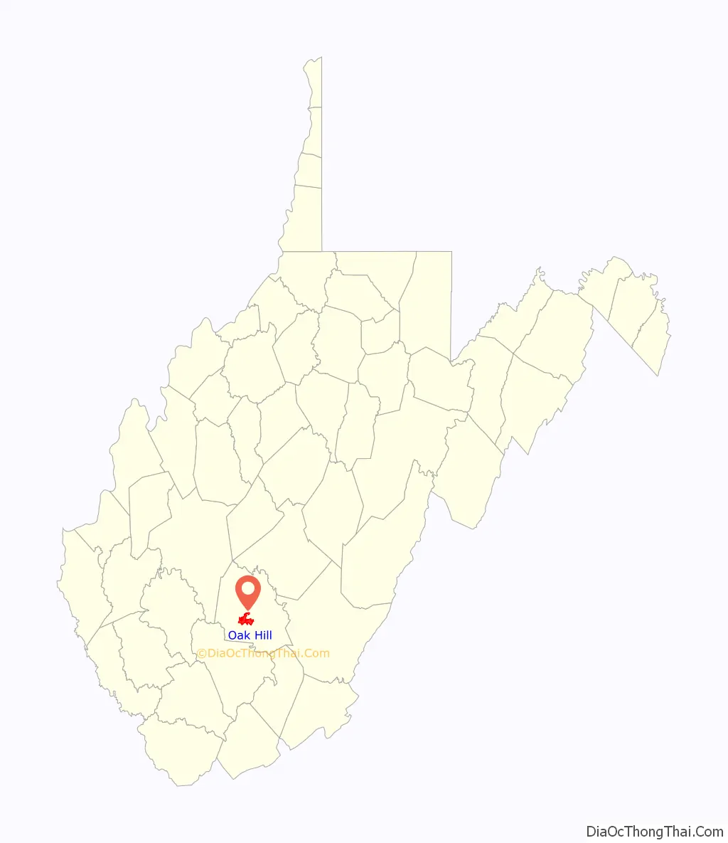
| State: | West Virginia |
| County: | Fayette County |
| Elevation: | 2,014 ft (614 m) |
| Total Area: | 9.63 sq mi (24.94 km²) |
| Land Area: | 9.61 sq mi (24.90 km²) |
| Water Area: | 0.02 sq mi (0.04 km²) |
| Total Population: | 8,179 |
| Population Density: | 850/sq mi (330/km²) |
| ZIP code: | 25901 |
| Area code: | 304 |
| FIPS code: | 5460028 |
| GNISfeature ID: | 1544297 |
| Website: | https://oakhillwv.gov |
Online Interactive Map
Click on ![]() to view map in "full screen" mode.
to view map in "full screen" mode.
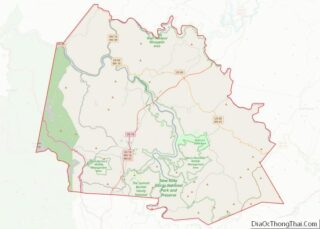
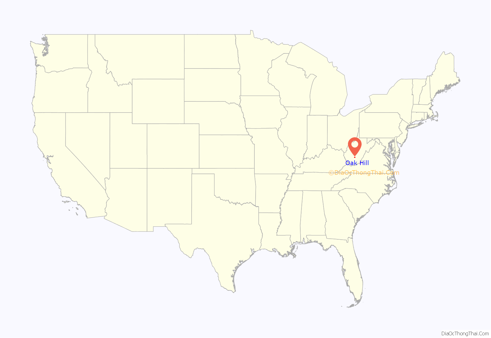
Oak Hill location map. Where is Oak Hill city?
History
Oak Hill was settled in 1820. The community was so named on account of an oak tree at the elevated town site. It was incorporated as a town in 1905. Oak Hill is the supposed place of death of Hank Williams Sr. According to his driver Charles Carr, they had stopped at a gas station in Oak Hill and found Williams dead in the backseat. On March 26, 2016, the city was honored with a historical marker to pay tribute to the memory of Hank Williams.
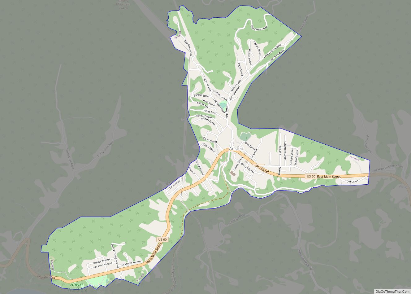
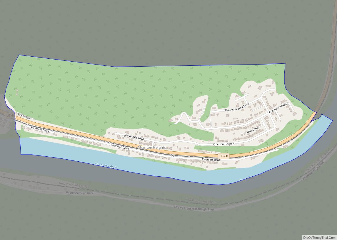
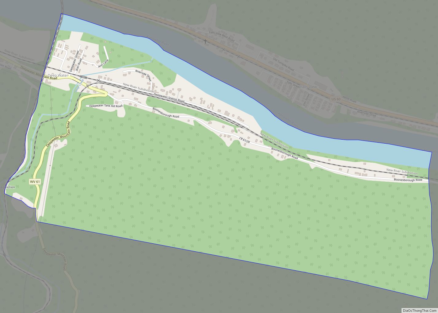
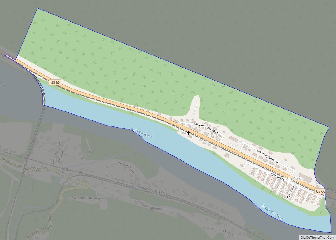
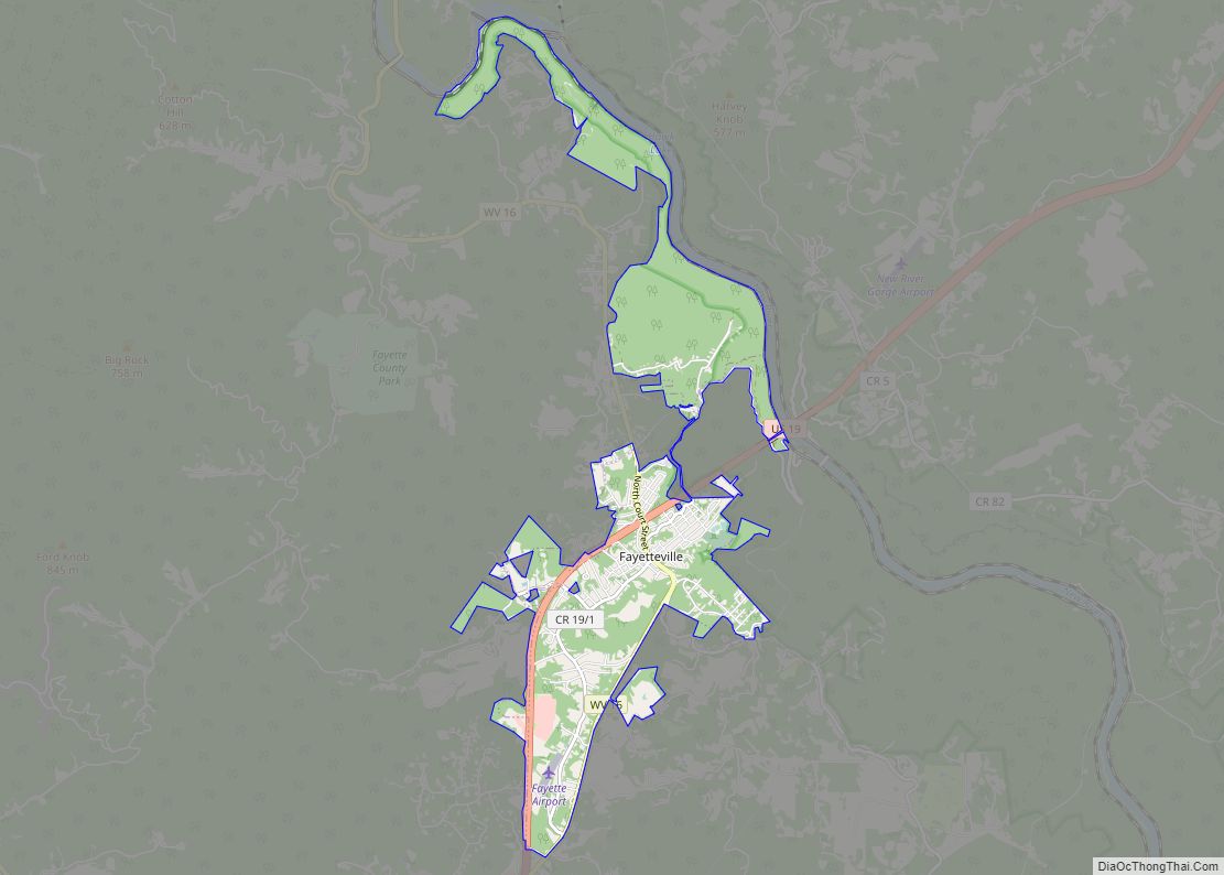
Oak Hill Road Map
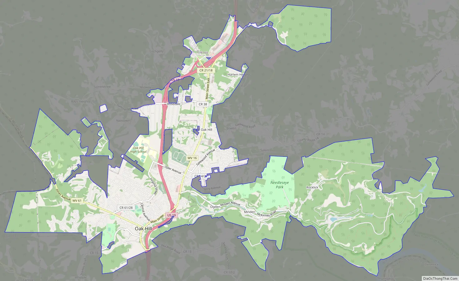
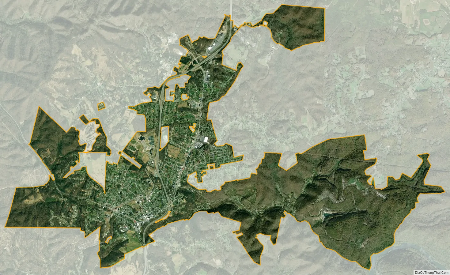
Oak Hill city Satellite Map
Geography
Oak Hill is located at 37°58′58″N 81°8′43″W / 37.98278°N 81.14528°W / 37.98278; -81.14528 (37.982775, -81.145334).
According to the United States Census Bureau, the city has a total area of 4.89 square miles (12.67 km), of which 4.88 square miles (12.64 km) is land and 0.01 square miles (0.03 km) is water.
Climate
See also
Map of West Virginia State and its subdivision:- Barbour
- Berkeley
- Boone
- Braxton
- Brooke
- Cabell
- Calhoun
- Clay
- Doddridge
- Fayette
- Gilmer
- Grant
- Greenbrier
- Hampshire
- Hancock
- Hardy
- Harrison
- Jackson
- Jefferson
- Kanawha
- Lewis
- Lincoln
- Logan
- Marion
- Marshall
- Mason
- McDowell
- Mercer
- Mineral
- Mingo
- Monongalia
- Monroe
- Morgan
- Nicholas
- Ohio
- Pendleton
- Pleasants
- Pocahontas
- Preston
- Putnam
- Raleigh
- Randolph
- Ritchie
- Roane
- Summers
- Taylor
- Tucker
- Tyler
- Upshur
- Wayne
- Webster
- Wetzel
- Wirt
- Wood
- Wyoming
- Alabama
- Alaska
- Arizona
- Arkansas
- California
- Colorado
- Connecticut
- Delaware
- District of Columbia
- Florida
- Georgia
- Hawaii
- Idaho
- Illinois
- Indiana
- Iowa
- Kansas
- Kentucky
- Louisiana
- Maine
- Maryland
- Massachusetts
- Michigan
- Minnesota
- Mississippi
- Missouri
- Montana
- Nebraska
- Nevada
- New Hampshire
- New Jersey
- New Mexico
- New York
- North Carolina
- North Dakota
- Ohio
- Oklahoma
- Oregon
- Pennsylvania
- Rhode Island
- South Carolina
- South Dakota
- Tennessee
- Texas
- Utah
- Vermont
- Virginia
- Washington
- West Virginia
- Wisconsin
- Wyoming