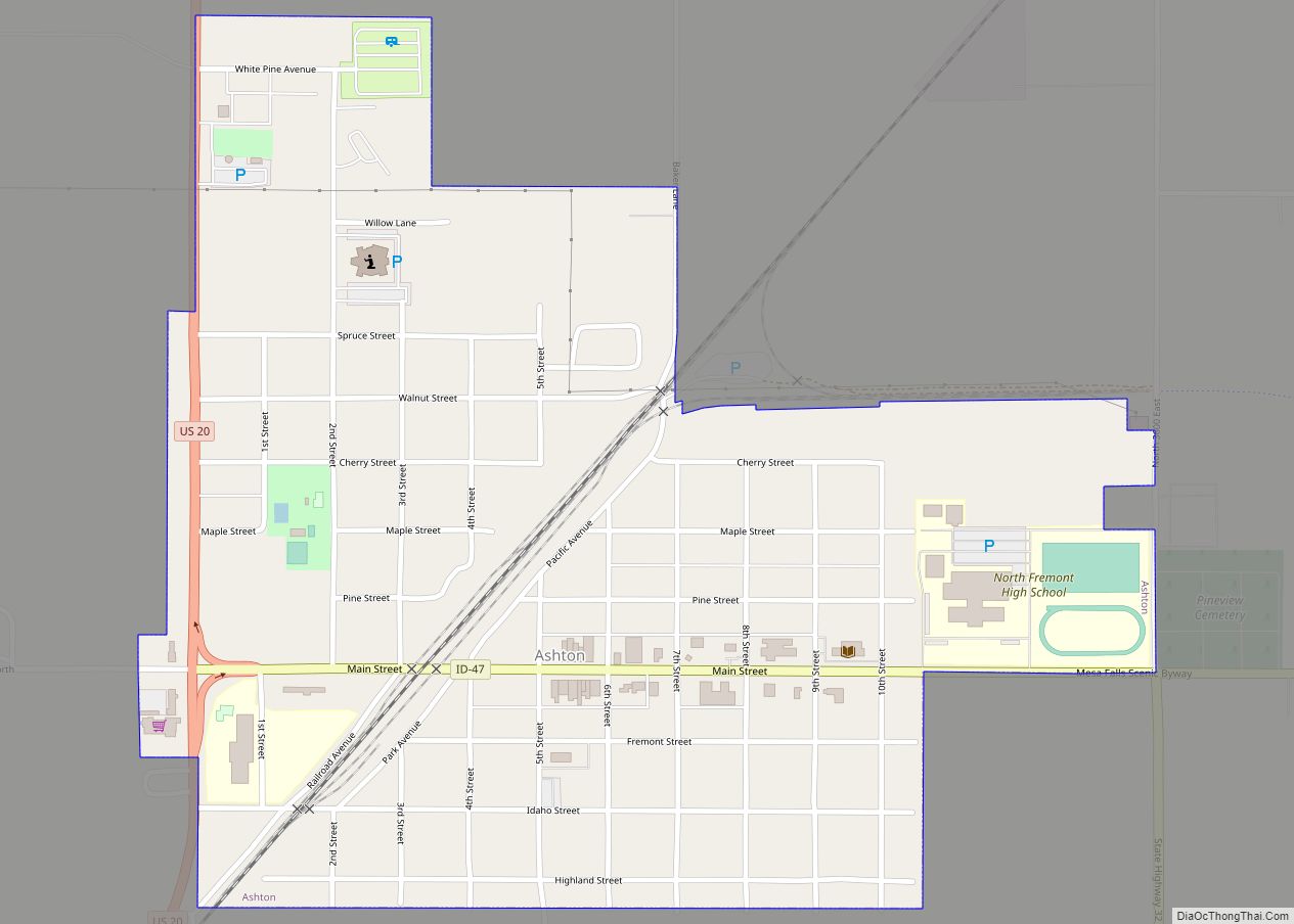
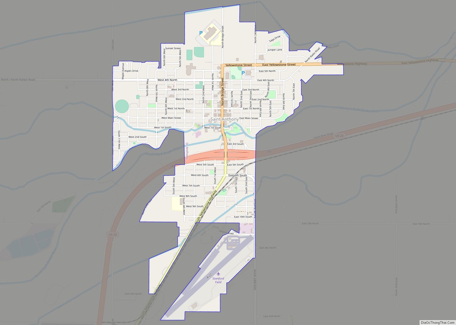
St. Anthony is a city in and the county seat of Fremont County, Idaho, United States. The population was 3,542 at the 2010 census, up from 3,342 in 2000. It is part of the Rexburg, Idaho Micropolitan Statistical Area.
| Name: | St. Anthony city |
|---|---|
| LSAD Code: | 25 |
| LSAD Description: | city (suffix) |
| State: | Idaho |
| County: | Fremont County |
| Elevation: | 4,967 ft (1,514 m) |
| Total Area: | 1.59 sq mi (4.11 km²) |
| Land Area: | 1.55 sq mi (4.01 km²) |
| Water Area: | 0.04 sq mi (0.11 km²) |
| Total Population: | 3,542 |
| Population Density: | 2,298.19/sq mi (887.11/km²) |
| Area code: | 208 |
| FIPS code: | 1671020 |
| GNISfeature ID: | 0398080 |
| Website: | www.cityofstanthony.org |
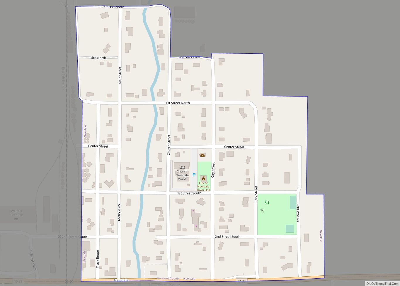
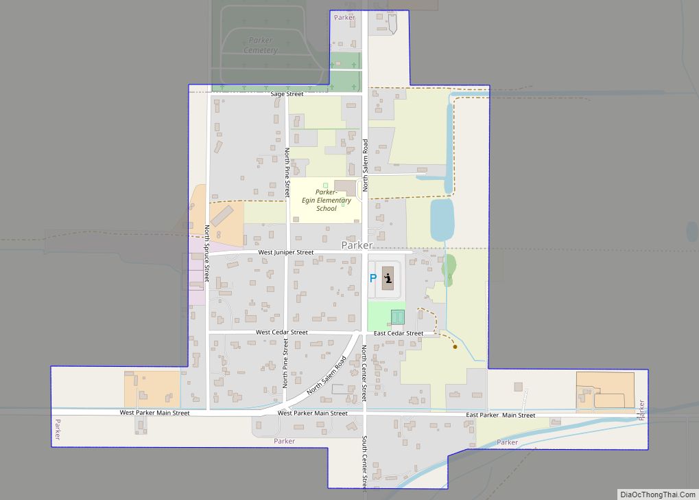
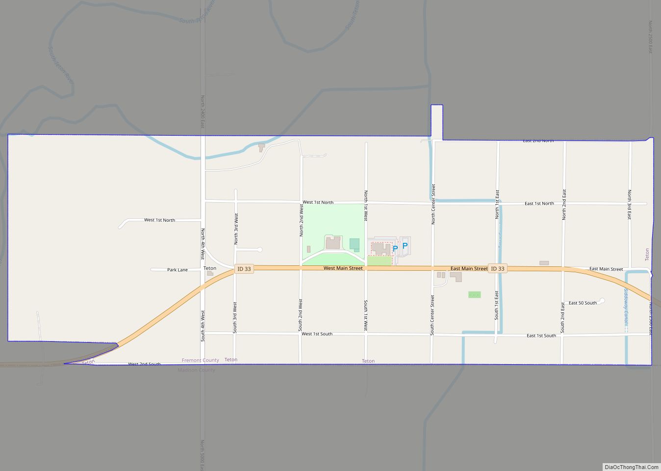
Online Interactive Map
Click on ![]() to view map in "full screen" mode.
to view map in "full screen" mode.
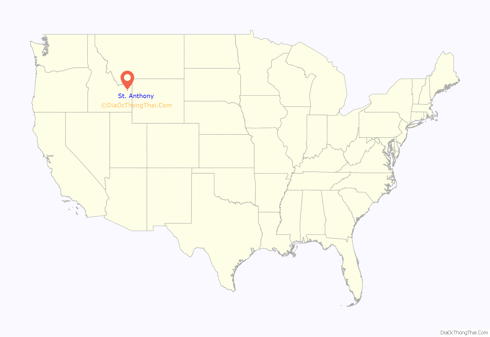
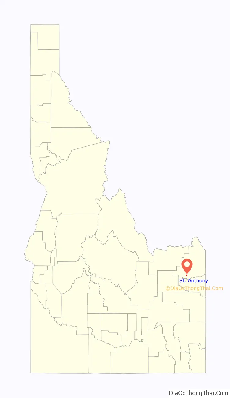
St. Anthony location map. Where is St. Anthony city?
History
Previous to the foundation of St. Anthony, Major Andrew Henry established a short-lived fort a few miles west of where the city stands today. This post was last used in the Fall of 1811, but left a lasting mark on the area as Henry is the namesake for the Henrys Fork of the Snake River, which St. Anthony sits along.
The early history of the city is disputed, with some sources pointing toward St. Anthony being founded in 1888 by members of the Church of Jesus Christ of Latter-day Saints, while others point to it being established in 1890. About this same time, a bridge was built over the Henrys Fork where St. Anthony stands today. The city was named after Saint Anthony Falls in Minnesota.
The railroad came to St. Anthony in 1899 and the first post office was established in 1901. Charles C. Moore arrived on the first train to the city. He taught school in the city and served as postmaster from 1908 to 1913 before being elected as governor of Idaho in 1922. He later died in St. Anthony at the age of 92.
Early in the life of the city, businesses would close their doors around noon on Wednesday to enjoy a day of rest and for the city’s ball team to play against those in neighboring towns.
The first LDS Stake to be headquartered in St. Anthony, the Yellowstone Stake, was established in 1909 with David O. McKay presiding at the proceedings. By 1912 the Yellowstone Tabernacle had been erected by the church at a cost of $79,074, which would have cost $1.9 million in 2016.
The first county courthouse was built in 1909, with the first cinema opening in 1911 to show silent films. By 1928 the city had two motion picture theaters, the Rialto and the Rex. The Rialto was the first to bring motion pictures containing audio to St. Anthony.
Today the current post office and the current courthouse are listed on the National Register of Historic Places.
St. Anthony Road Map
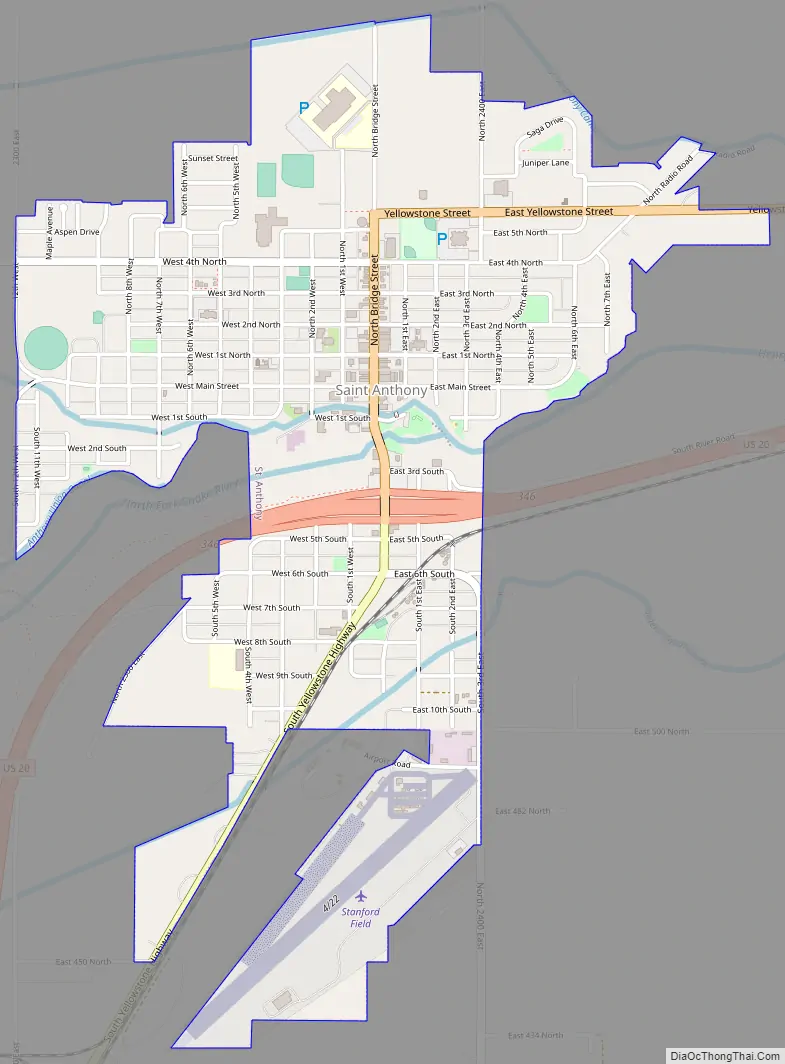
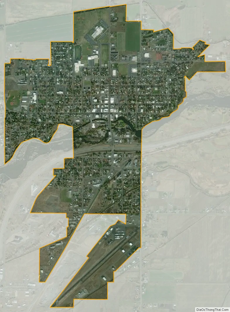
St. Anthony city Satellite Map
Geography
According to the United States Census Bureau, the city has a total area of 1.55 square miles (4.01 km), of which, 1.53 square miles (3.96 km) is land and 0.02 square miles (0.05 km) is water. St. Anthony is located along the Henrys Fork of the Snake River and on US Highway 20 about 10 miles northeast of Rexburg. The city is situated about 70 miles from the west entrance to Yellowstone National Park.
See also
Map of Idaho State and its subdivision:- Ada
- Adams
- Bannock
- Bear Lake
- Benewah
- Bingham
- Blaine
- Boise
- Bonner
- Bonneville
- Boundary
- Butte
- Camas
- Canyon
- Caribou
- Cassia
- Clark
- Clearwater
- Custer
- Elmore
- Franklin
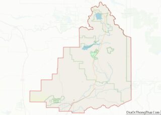
- Fremont
- Gem
- Gooding
- Idaho
- Jefferson
- Jerome
- Kootenai
- Latah
- Lemhi
- Lewis
- Lincoln
- Madison
- Minidoka
- Nez Perce
- Oneida
- Owyhee
- Payette
- Power
- Shoshone
- Teton
- Twin Falls
- Valley
- Washington
- Alabama
- Alaska
- Arizona
- Arkansas
- California
- Colorado
- Connecticut
- Delaware
- District of Columbia
- Florida
- Georgia
- Hawaii
- Idaho
- Illinois
- Indiana
- Iowa
- Kansas
- Kentucky
- Louisiana
- Maine
- Maryland
- Massachusetts
- Michigan
- Minnesota
- Mississippi
- Missouri
- Montana
- Nebraska
- Nevada
- New Hampshire
- New Jersey
- New Mexico
- New York
- North Carolina
- North Dakota
- Ohio
- Oklahoma
- Oregon
- Pennsylvania
- Rhode Island
- South Carolina
- South Dakota
- Tennessee
- Texas
- Utah
- Vermont
- Virginia
- Washington
- West Virginia
- Wisconsin
- Wyoming